Description
AEC Terrain
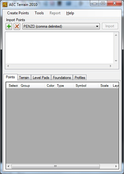
AEC Terrain is a handy software tool that works with AutoCAD. It's designed to make your life easier when it comes to managing terrain and doing 3D modeling. If you've ever felt bogged down by these tasks, this software might just be what you need!
Easy Integration with ERP Systems
This software has a ton of uses! It can connect with any ERP system, which is super cool. You can build things like drains, canals, level pads, and even road formations without breaking a sweat. Whether you're digging foundations or setting up embankments, AEC Terrain has got your back.
Coordinate Generation Made Simple
One of the neat features is its ability to generate coordinates for Cut and Fill elements. This means you can easily transfer your layout right to the ground. No more guessing where everything should go!
Manage Your Tasks Like a Pro
You can also assign tasks related to the output elements by extracting Bills of Quantities (BOQ) or Work Breakdown Structures (WBS). Plus, there's an option to publish the BOQ straight to AEC ERP for smoother schedule and budget management.
Volume Calculations and More!
If you need to calculate the volume of thickened surfaces, this tool helps with that too! You can create multiple TIN Surfaces using several point files. On top of that, verifying engineering structures or checking out extended excavations is a breeze.
Create Detailed Outputs
The outputs generated by the AutoCAD component are versatile too! They can be saved in various formats like PDF, DWF, DXF, and more. This gives you plenty of options for how you want to share your work.
So if you're looking for a solid solution in terrain management and 3D modeling, check out AEC Terrain. It's packed with features that will make your projects so much easier!
User Reviews for AEC Terrain 14
-
for AEC Terrain
AEC Terrain simplifies terrain management and 3D modeling tasks in AutoCAD. It integrates seamlessly with ERP systems, offering diverse operations.
-
for AEC Terrain
AEC Terrain is versatile and provides rich features. Handling complex projects becomes easier. However, the interface could be more user-friendly.
-
for AEC Terrain
AEC Terrain offers intuitive tools for terrain modeling. Some improvements could be made in user-friendliness.
-
for AEC Terrain
AEC Terrain offers robust mapping and surveying features. Usability could be improved, but overall great potential.
-
for AEC Terrain
AEC Terrain blends functionality with simplicity, great for 3D modelling with realistic terrain characteristics.
-
for AEC Terrain
AEC Terrain offers exceptional topographic and geospatial data accuracy, although it has a steep learning curve.
-
for AEC Terrain
AEC Terrain provides easy-to-use features with impressive performance. It is useful for professionals in planning & design.

