
Description
ArcReader
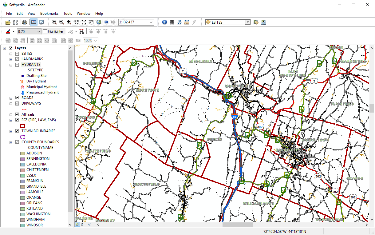
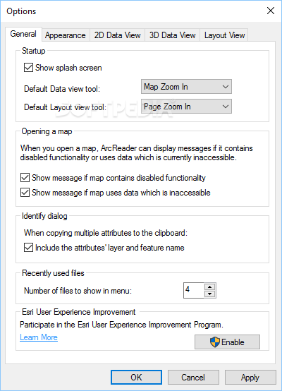
ArcReader is a handy tool for working with specific file types that other programs just can't touch. You know how some apps have their own special files? Well, ArcReader is designed to handle those tricky PMF files that come from ArcGIS maps. With this software, you can open and take a good look at your map files using a user-friendly interface loaded with features.
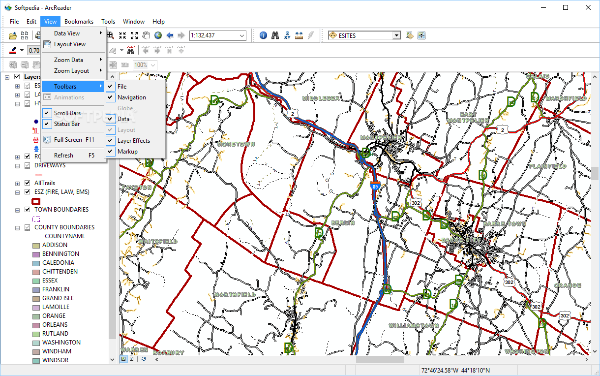
Easy Navigation and Zooming
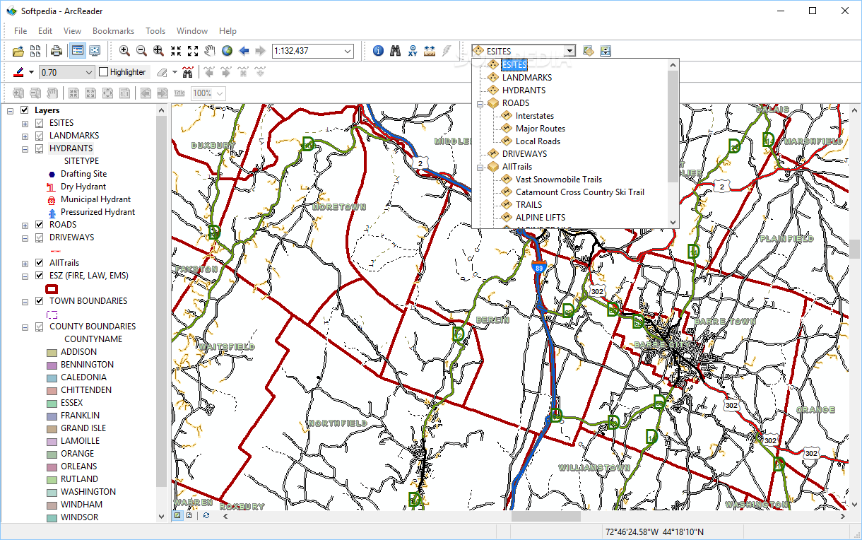
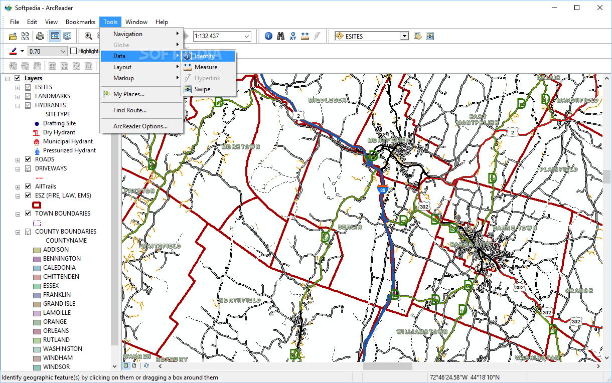
One of the coolest things about ArcReader is how you can zoom in and out to see all the details on these maps. PMF documents can have tons of layers, and ArcReader lets you explore them closely. It comes packed with tools like a markup pen for jotting down notes, a highlighter to emphasize important areas, and even a customizable route finder. It's pretty awesome!
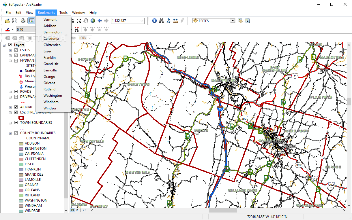
Create Your Personal Place List
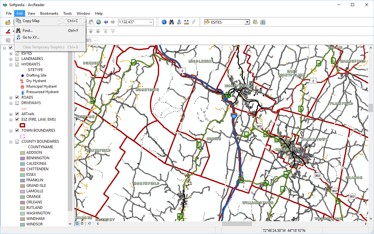
You can also create a personal list of places within ArcReader. This feature makes it super easy to navigate around your maps or plan routes without any hassle. Just add whatever locations you want, and they’ll be right there when you need them.
Exporting Made Easy
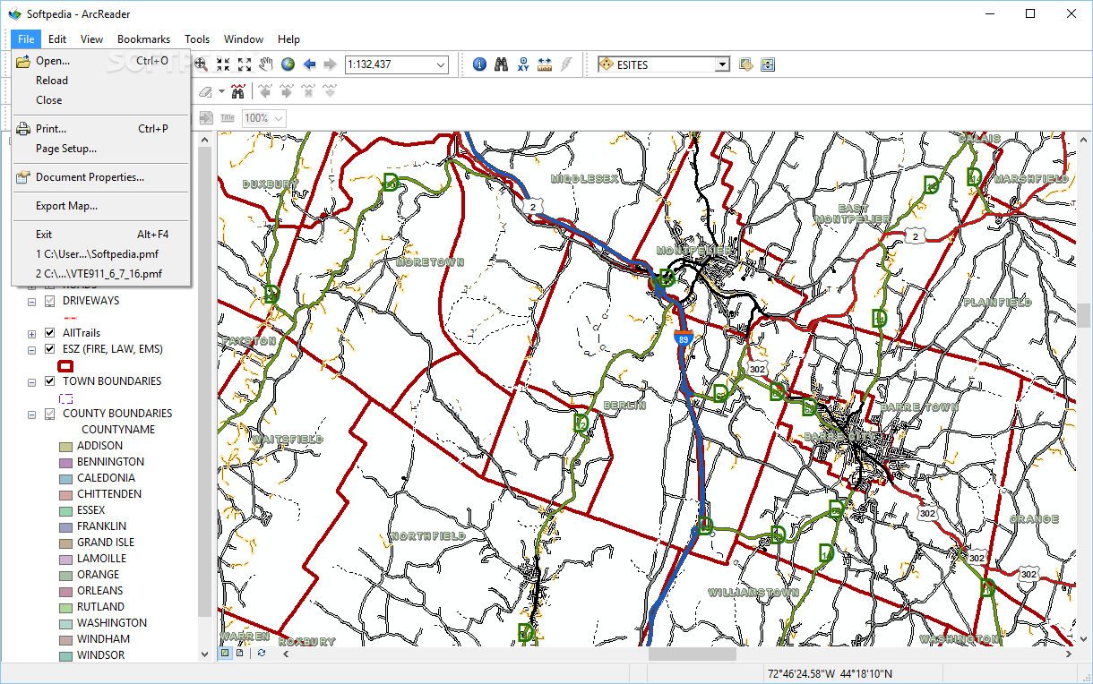
A standout feature is the ability to export your maps as BMP images. That means you can save and share your favorite views easily! Plus, if you need hard copies, ArcReader has got you covered with its printing options. You can print the entire map or just what’s currently visible on your screen—no information gets lost!
Your Go-To for PMF Files
In short, ArcReader is an excellent choice if you're looking for software to view, annotate, or print published map files (PMF). Whether you're exploring intricate details or simply trying to make sense of a large area, this tool has everything you need.
If you're ready to dive into all these features, check out the download link for ArcReader here!
User Reviews for ArcReader 13
-
for ArcReader
ArcReader is a powerful tool for viewing and annotating PMF files. The ability to add places to a personal list is extremely useful.
-
for ArcReader
ArcReader offers efficient mapping functions and easy-to-use navigation. Some improvements are still required in speed.
-
for ArcReader
'ArcReader' is a robust and intuitive app, slightly complex to navigate, but useful for GIS system professionals.
-
for ArcReader
ArcReader is a practical mapping tool with intuitive interface, although it may require a learning curve.
-
for ArcReader
ArcReader provides useful tools for visualizing, sharing, and exploring GIS maps with excellent user interface.
-
for ArcReader
ArcReader offers intuitive interface for viewing, exploring maps. Minor bugs, but overall a handy tool for GIS.
-
for ArcReader
ArcReader offers a dynamic and user-friendly interface for viewing geographic layouts. Few minor glitches to fix.