

Description
Automapki
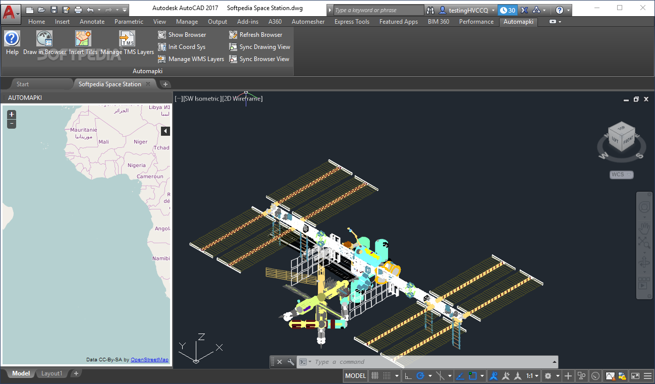
Automapki is a super handy tool for anyone working on 3D CAD projects that need spatial references. If you’ve ever struggled to get those files into mapping environments, this app is here to help! It’s designed to add web mapping features right into your favorite CAD software. With Automapki, you can easily display your spatially referenced DWG files over satellite imagery and use tools for map drawing and setting up the right coordinate system.
Integrating with Your CAD Software
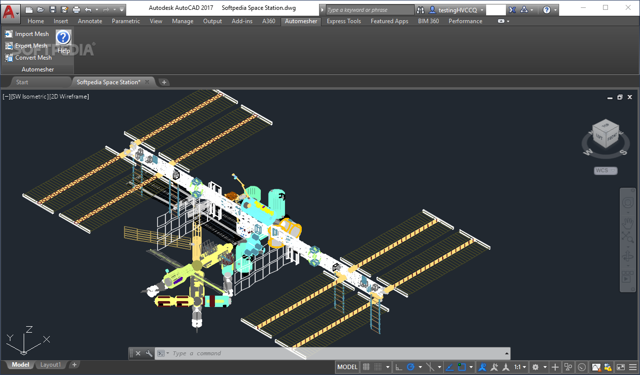
This app works with popular CAD suites like AutoCAD, ZWCAD+, or BrickCAD. Depending on which one you're using, Automapki will add a special module right into its interface. You’ll find quick-access buttons in a simple menu that let you draw shapes in the browser, insert GEOtiff tiles, or manage TSM layers without any fuss.
Selecting Your Map Server
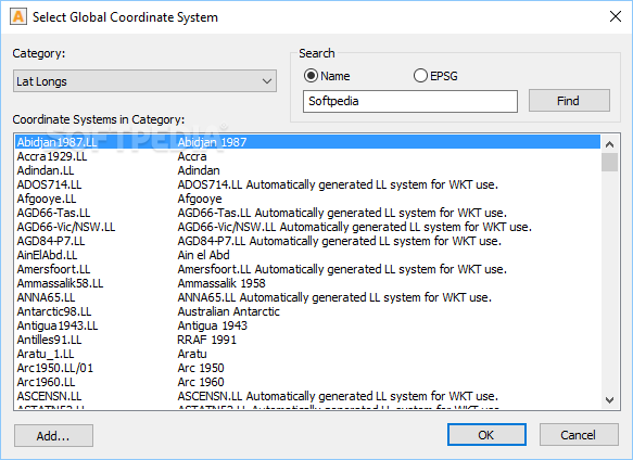
One of the cool things about Automapki is that it makes it easy to enable a map browser and choose your favorite map server providers based on what you need. Once you've loaded a DWG project with spatially referenced objects, you'll get a notification screen to help define the correct coordinate system.
Coordinate System Options
You can pick from a big library of coordinate systems to make sure you're displaying your data correctly. However, keep in mind that there aren’t many details provided about each option right now—something we hope gets better in future updates!
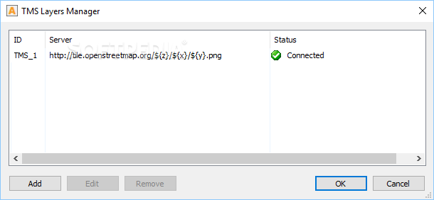
Adding Extra Map Layers
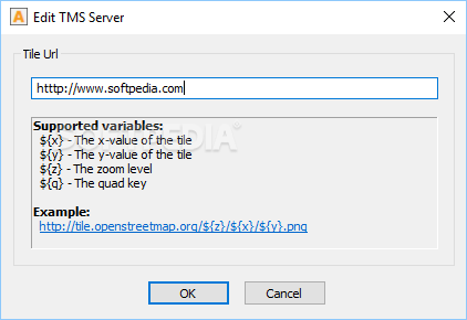
Apart from its web map browser, this utility also allows you to add tile servers like OpenStreetMap for extra map layers. The drawing module gives you some basic tools for drawing on those loaded map layers in the browser window. But just a heads-up: these drawing tools are pretty basic and might not meet the needs of more experienced users.
Why Choose Automapki?
If you're looking for an efficient way to bring web mapping into your CAD software and visualize spatially referenced projects on satellite imagery or maps, then Automapki is definitely worth checking out! It provides dedicated modules in your CAD suite so you can load satellite imagery and local drive map tiles easily. Plus, with its extensive coordinate system library, it helps ensure you're displaying your data just right. Check it out here!
User Reviews for Automapki 11
-
for Automapki
Automapki efficiently integrates web mapping capabilities into CAD software, allowing users to visualize spatially referenced projects easily. Extensive coordinate system library ensures accurate data display.
-
for Automapki
Effective in automating tasks; User interface is a bit tricky to comprehend but overall a great app.
-
for Automapki
Automapki offers solid integration for auto-CAD platforms and impresses with its smooth large-scaling mapping activities.
-
for Automapki
Automapki provides intuitive CAD mapping and geodata visualization with few minor issues.
-
for Automapki
Automapki offers exceptional mapping features, but it lacks intuitive user interface. Great for professional use, though.
-
for Automapki
Automapki is a game changer for integrating CAD with web maps! The interface is intuitive and seamless.
-
for Automapki
I've been using Automapki for my 3D projects, and it's fantastic! The mapping capabilities are so useful.