


Description
CARIS Easy View
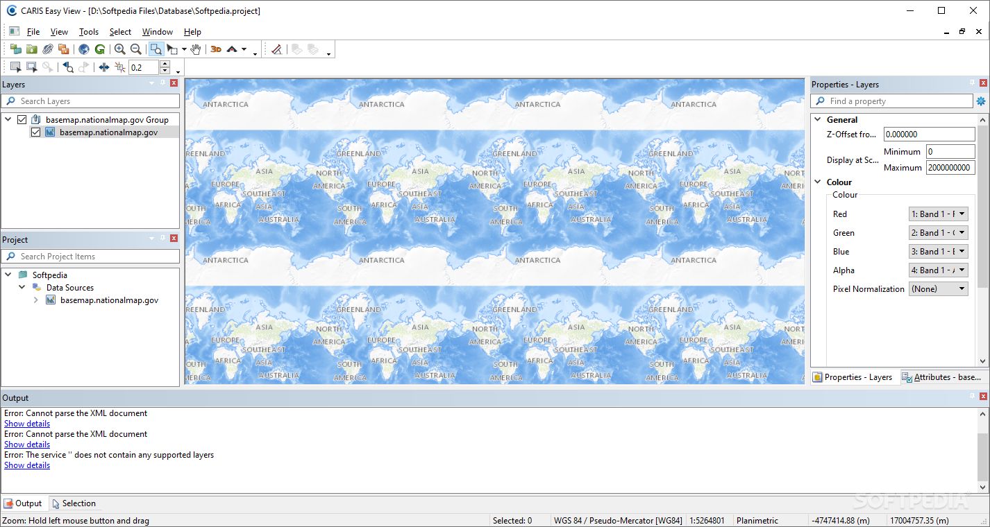
CARIS Easy View is a handy application that lets you check out spatial data from all sorts of files. It makes it super easy to load multiple layers, rearrange them, and tweak object settings.
View 3D Spatial Data
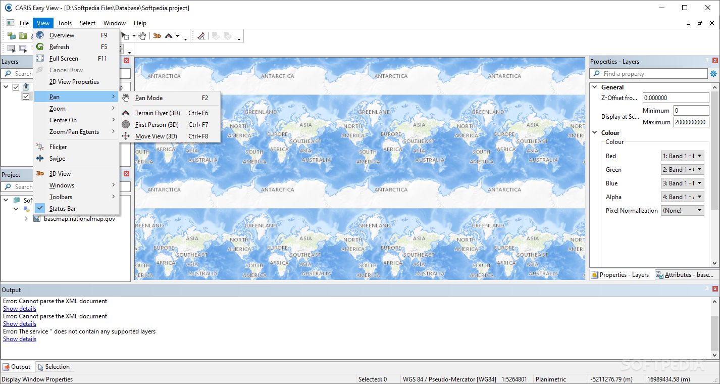
This program can even show your spatial data in a cool 3D view and lets you record flight paths too! How neat is that?
Supports Various File Types
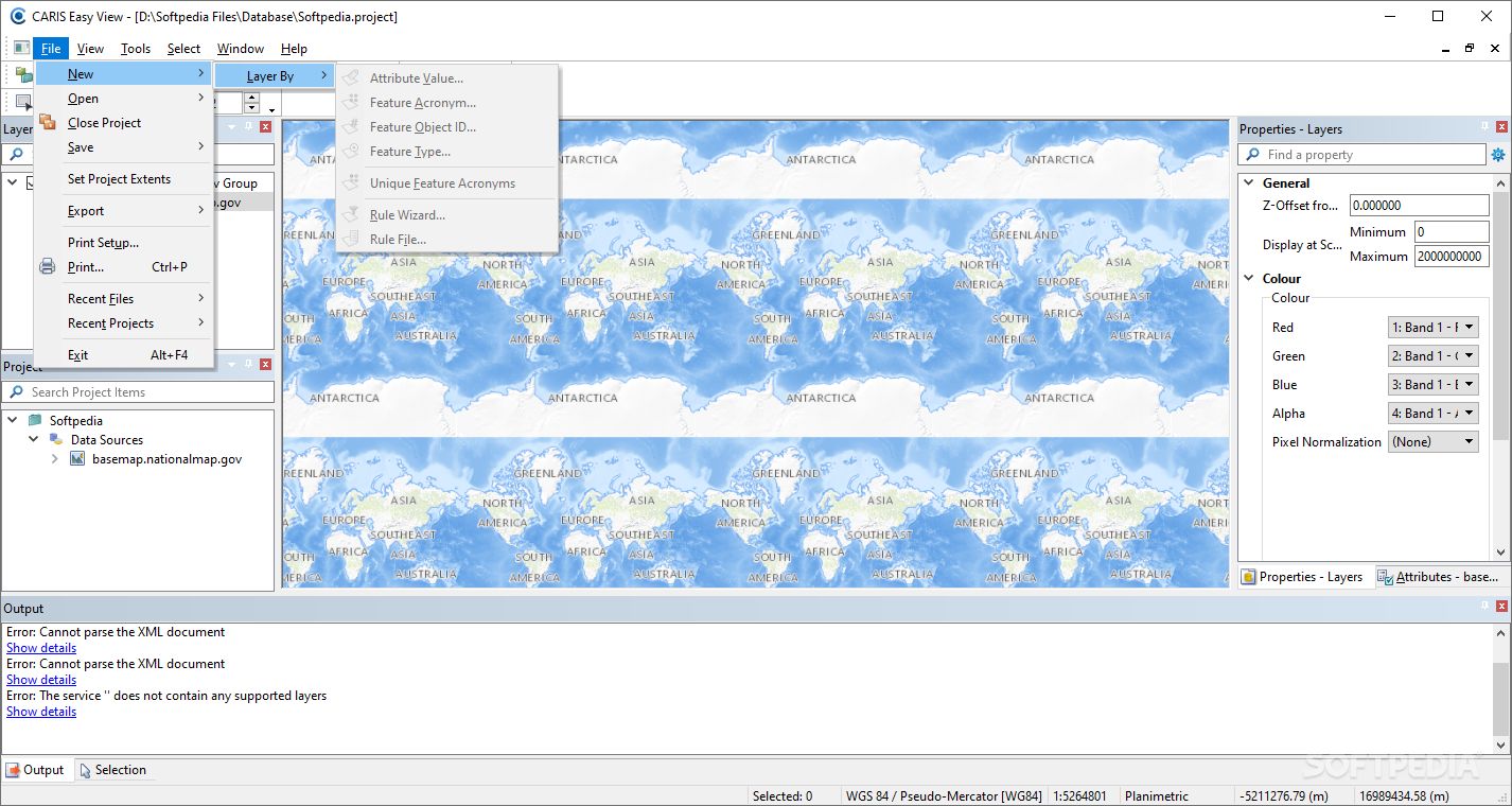
One key thing for a geographical data viewer is being able to handle lots of different file types. Different GIS apps save maps and models in various formats, right? Well, CARIS Easy View has got your back here! It supports a bunch of file types so you can analyze both raster and vector data easily.
Measure Distances with Ease
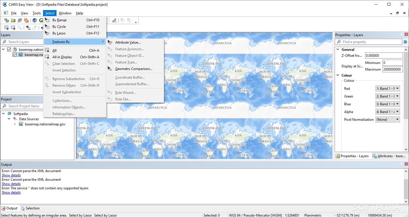
You can measure distances between points on your maps using as many control points as you need. The app shows the distance between each point, plus the total distance too!
Change Projection for Better Accuracy
If you want to display your loaded spatial data more accurately, you can switch up the projection for the map. Picking the right projection helps reduce distortions based on the area you're looking at.
Store and Combine Data Efficiently
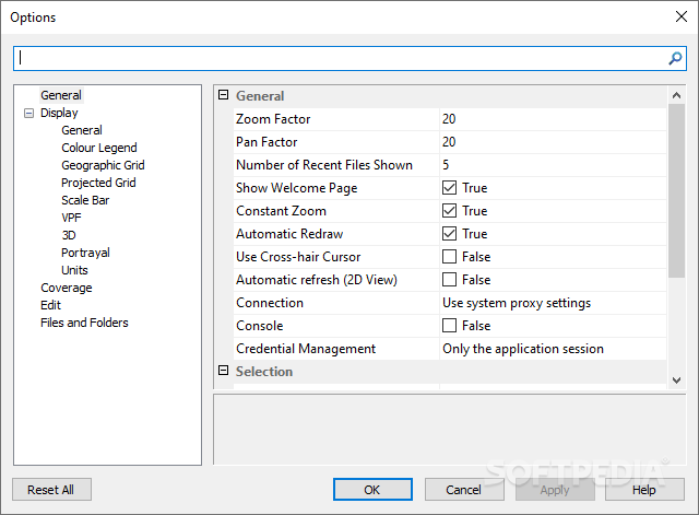
To really make use of digital maps and models, it’s important to store different types of info separately but still be able to combine them later. CARIS Easy View lets you load several data layers, choose which ones to display, and change their order whenever you want!
Select and Customize Your Views
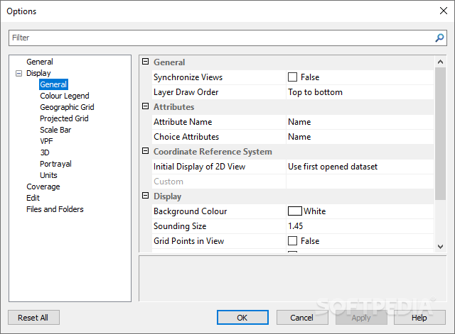
You can even select multiple items at once and view them in a separate panel. Plus, it’s possible to change certain attributes so that objects look just how you want them on the map.
Create Stunning 3D Visuals
The program gives you the ability to see your project from any angle in 3D mode! You can even record videos of your fly-throughs and save them as AVI files—perfect for sharing with others!
User-Friendly Design
CARIS Easy View is simple yet effective for viewing and analyzing spatial data. It's user-friendly and comes with lots of documentation to help guide you along.
If you're curious about trying it out, feel free to download CARIS Easy View here!
User Reviews for CARIS Easy View 7
-
for CARIS Easy View
CARIS Easy View is a user-friendly tool for visualizing and analyzing various spatial data formats. It offers easy layer manipulation and 3D rendering.
-
for CARIS Easy View
CARIS Easy View is a fantastic app for visualizing spatial data! The 3D rendering feature is amazing.
-
for CARIS Easy View
I've been using CARIS Easy View for my GIS projects, and it has exceeded my expectations. Highly recommended!
-
for CARIS Easy View
This app is incredibly user-friendly and versatile. I love being able to view and manipulate multiple layers easily.
-
for CARIS Easy View
The ability to measure distances on maps is super helpful! CARIS Easy View makes analyzing data a breeze.
-
for CARIS Easy View
A must-have tool for anyone working with spatial data! The video recording feature for fly-throughs is top-notch.
-
for CARIS Easy View
CARIS Easy View makes complex spatial analysis simple. Great support for various file types too!