

Description
Smart GIS Download - Advanced Mapping and GIS Software for Professionals
Looking for a powerful yet lightweight GIS software solution? Smart GIS offers comprehensive geographic information system tools in an accessible package. This versatile mapping application allows professionals to work efficiently with raster images and geographic data while maintaining an intuitive workflow. Download Smart GIS today to enhance your geospatial data management capabilities.
User-Friendly GIS Interface for Mapping Professionals
Smart GIS provides a clean, straightforward interface that remains approachable without sacrificing functionality. Users already familiar with geospatial software will appreciate the logical layout and accessible tools that streamline the mapping workflow.
The application delivers all essential GIS functions while maintaining performance even on systems with modest hardware specifications. Smart GIS download offers professionals a reliable platform for geographic data visualization and analysis without overwhelming system resources.
Essential GIS Features and Functionality
Smart GIS comes equipped with a comprehensive set of standard geospatial functions that mapping professionals require for effective project execution:
- Intuitive zoom and pan controls for precise navigation
- Box selection tools for efficient area management
- Identify function for quick feature information access
- Integrated hyperlink support for connected resources
- Precise measurement tools for accurate spatial analysis
Advanced Layer Management
Create and manage sophisticated geographic layers with Smart GIS. The software supports multiple layer types to meet diverse mapping requirements:
- Point layers for precise location marking
- Polyline layers for path and boundary definition
- Polygon layers for area representation
- Multiple point systems for complex location datasets
- Combined layer types for comprehensive mapping projects
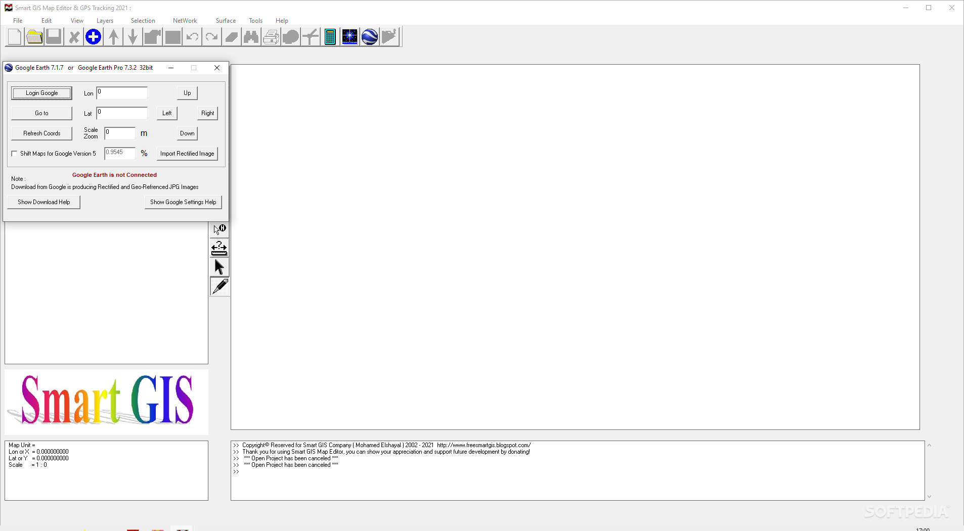
When you download Smart GIS, you gain access to powerful layer manipulation tools including automatic image balancing and custom-scaled layer integration with Google Earth. The software also provides robust validation for layer boundaries and intuitive editing capabilities for layer data tables.
Professional Editing Capabilities
Smart GIS delivers sophisticated editing functionality expected by GIS professionals:
- Full undo/redo support for confident workflow
- Vertex insertion with intelligent snapping
- Rotation and scaling with precision controls
- Data-driven feature location
- Advanced polygon and polyline division
- Multi-part element combination tools
- Toggle-enabled 3D viewing mode
- Area and volume calculation for detailed analysis
System Performance and Reliability
The mapping software operates efficiently with modest system requirements, consuming only low-to-moderate CPU and memory resources. This optimization ensures that geographical information system projects run smoothly even during complex operations.
Smart GIS maintains excellent response times and includes comprehensive keyboard shortcut support for productivity enhancement. Our testing revealed no error dialogs, freezing, or crashes, demonstrating the stability that professional users require for critical mapping projects.
Technical Specifications
- System Requirements: Low to moderate CPU and RAM usage
- Operating System: Windows compatible
- File Format Support: Standard GIS formats
- Integration: Google Earth compatibility
- Interface: Clean, intuitive design with keyboard shortcuts
- Performance: Responsive operation with stable execution
Ideal for Skilled GIS Users
While Smart GIS maintains an accessible interface, its advanced functionality makes it particularly suitable for users with existing GIS experience. The software strikes an excellent balance between power and usability, making it ideal for professional mapping applications without unnecessary complexity.
Geographic information system specialists will appreciate the comprehensive toolset that addresses both fundamental and advanced mapping requirements. Download Smart GIS to experience a professional-grade mapping solution that respects your workflow while delivering the capabilities needed for sophisticated geospatial projects.

Ready to elevate your geospatial capabilities? Download Smart GIS now and discover why mapping professionals choose this efficient, powerful solution for their geographic information system needs. Experience the perfect balance of performance, functionality, and usability in one comprehensive package.
```
User Reviews for Elshayal Smart GIS 7
-
for Elshayal Smart GIS
Elshayal Smart GIS is a user-friendly software for GIS specialists. It offers standard functions like zoom, pan, and measure with a reliable performance.
-
for Elshayal Smart GIS
Smart GIS is an excellent tool for anyone working with raster images. The interface is user-friendly and intuitive, making it easy to navigate even for those familiar with other GIS software. I love the advanced features like 3D viewing and area calculations!
-
for Elshayal Smart GIS
I highly recommend Smart GIS! Its lightweight design allows for smooth performance, and the ability to create layers and measure shapes is a game-changer. It’s perfect for professionals in the GIS field looking for reliable software.
-
for Elshayal Smart GIS
Smart GIS has truly impressed me with its functionality and ease of use. The zoom and pan features work seamlessly, and the undo/redo options are incredibly helpful. It's a fantastic tool for any GIS specialist!
-
for Elshayal Smart GIS
What a great app! Smart GIS offers powerful features without being overwhelming. The intuitive layout makes it accessible, while still providing the advanced options that experienced users need. Definitely worth five stars!
-
for Elshayal Smart GIS
Smart GIS stands out in the crowded market of GIS applications. Its good response time and low resource usage make it an efficient choice. Plus, creating new layers is straightforward—highly recommend to all GIS professionals!
-
for Elshayal Smart GIS
I am thoroughly impressed with Smart GIS! It combines simplicity with powerful tools, making it suitable for both beginners and seasoned users alike. The feature set is robust, allowing for creative layering and precise measurements!