


Description
Eye4Software Hydromagic
Eye4Software Hydromagic is a powerful hydrographic survey program. It helps you map areas, show your GPS position on the map, record depths, and use an echosounder. It's packed with lots of features designed for experienced users.
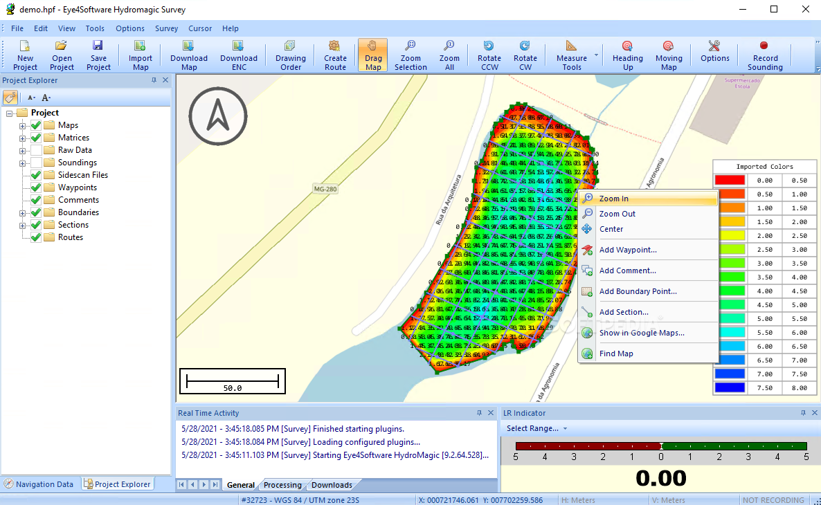
User-Friendly Interface
The interface is pretty easy to navigate. You get a big window displaying the map, a project explorer to keep track of everything, a menu bar, and plenty of buttons to click on.
Starting a New Project
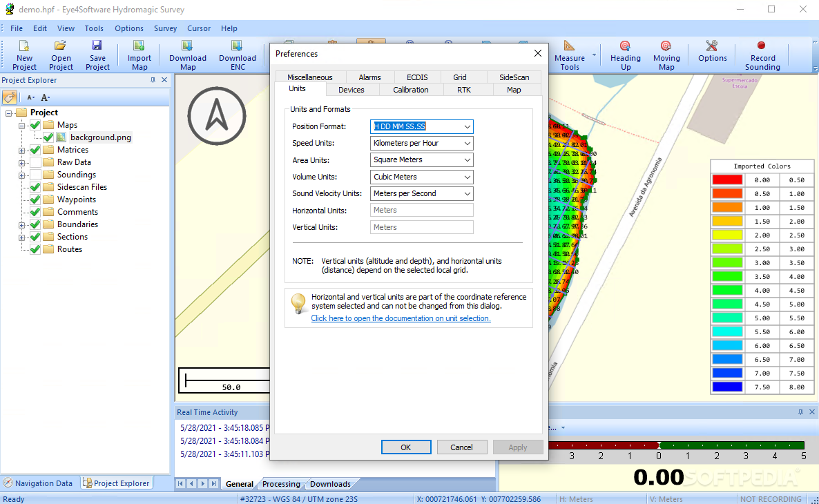
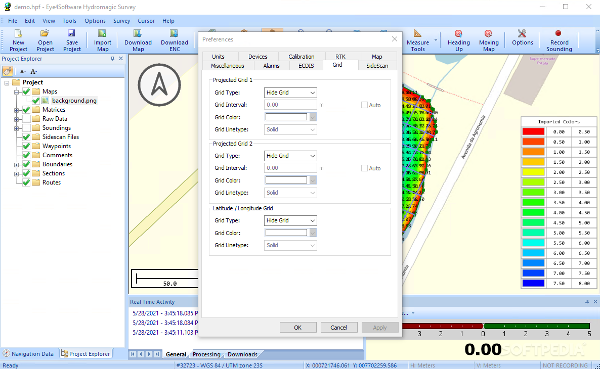
When you're ready to kick off a new project, you'll need to set up some basics. This includes naming your project, choosing where to save it, picking the right map projection, writing a project description, and adding who’s doing the surveying. There are tons of projections available that you can filter by country or even edit properties like false northing and horizontal units.
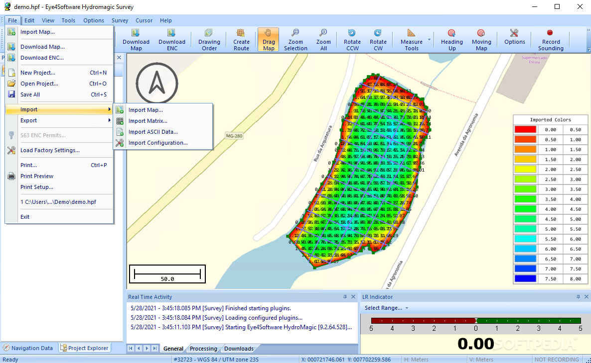
Importing Data and Maps
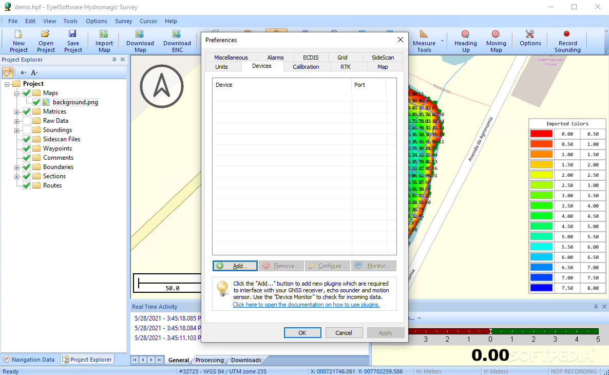
You can easily import maps and data into Eye4Software Hydromagic. This includes matrix data and ASCII files as well as configurations from previous projects. You can also download new maps if needed! The software lets you generate matrices from soundings and shorelines displayed in colors or depths.
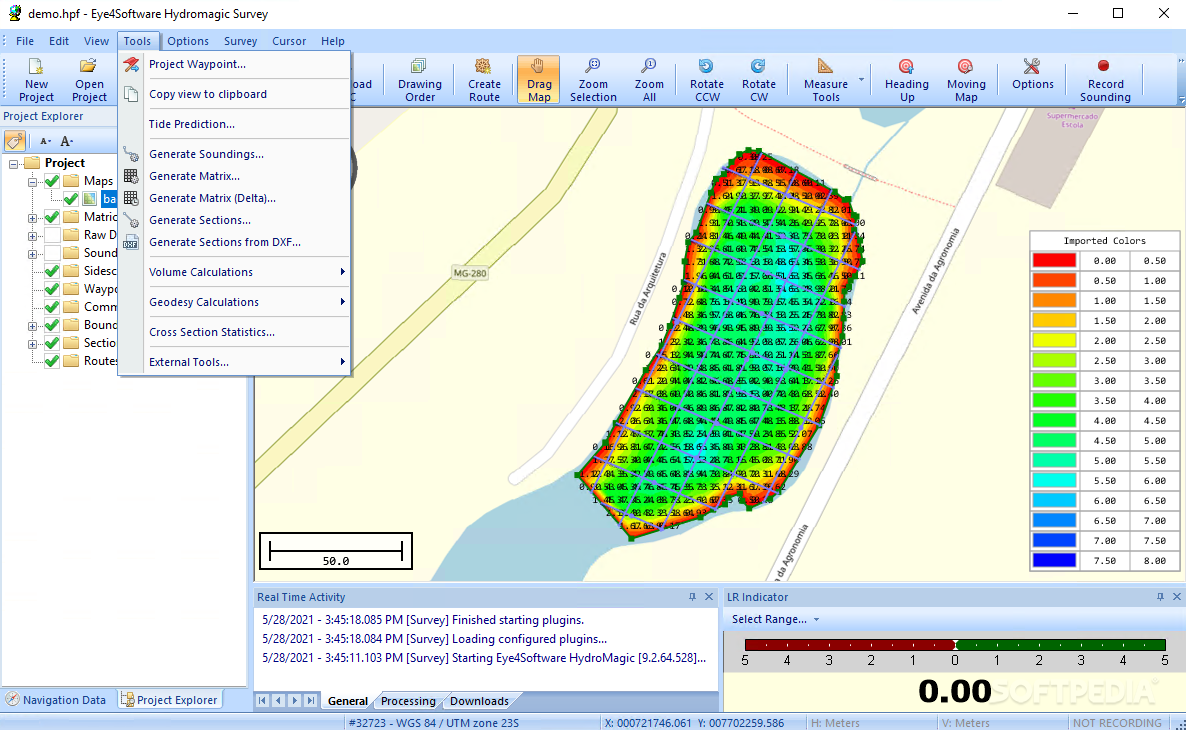
Data Processing Features
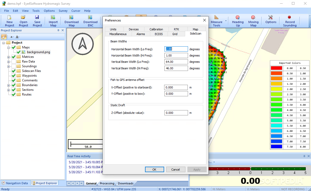
This program doesn’t just help with mapping; it also processes raw data and manages your data files efficiently. You can create waypoints, add soundings or shorelines, generate corrected soundings from raw info, import photos, manage sections—there’s so much you can do! Plus, you can enable moving map mode to see your current position in real-time.
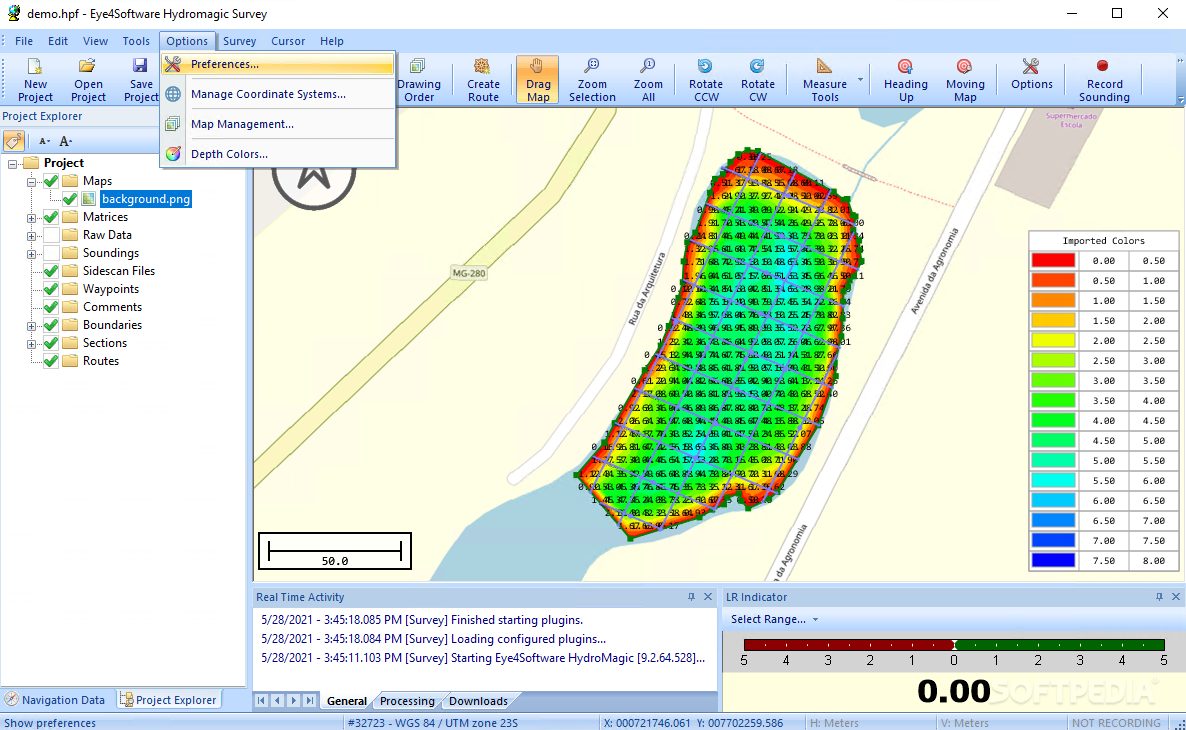
Add More Tools
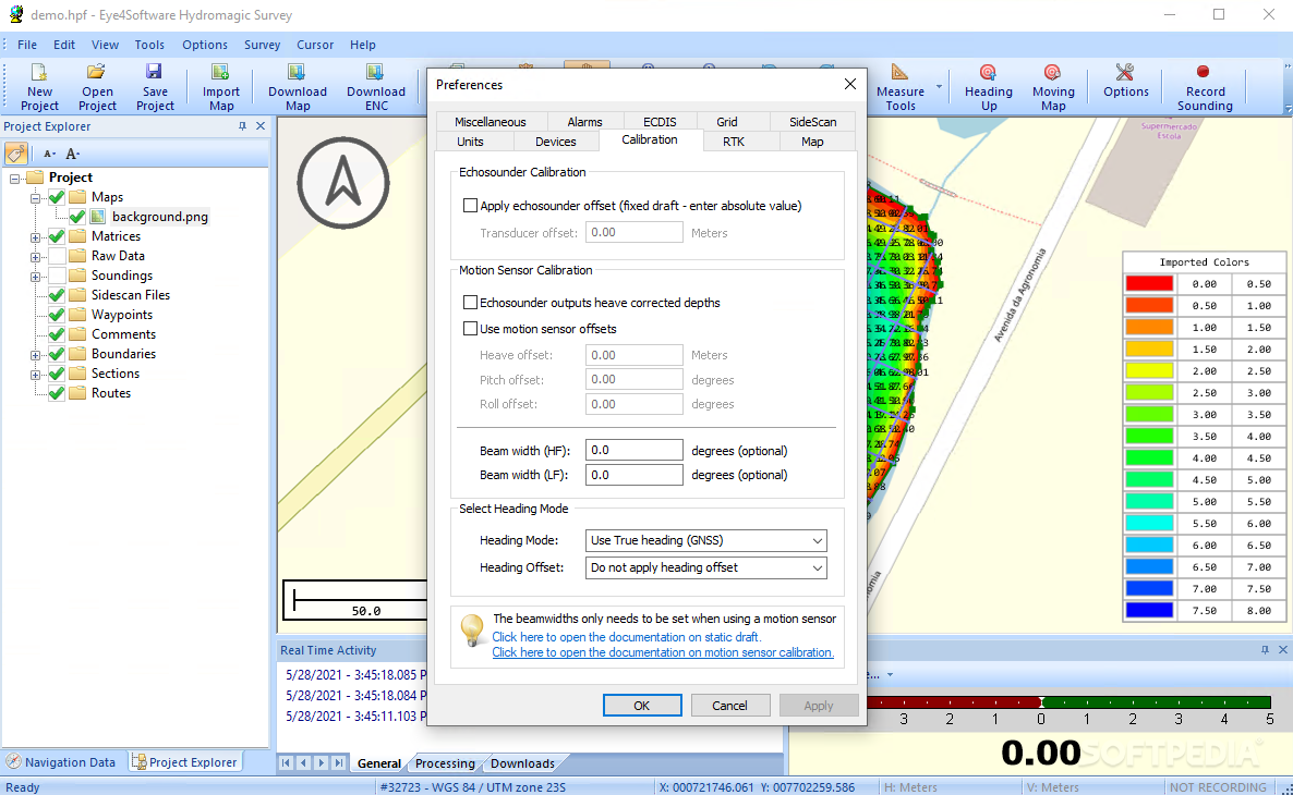
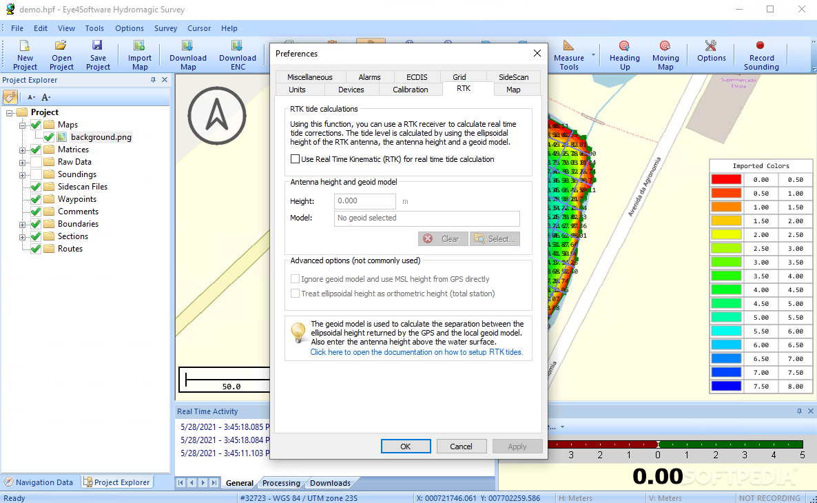
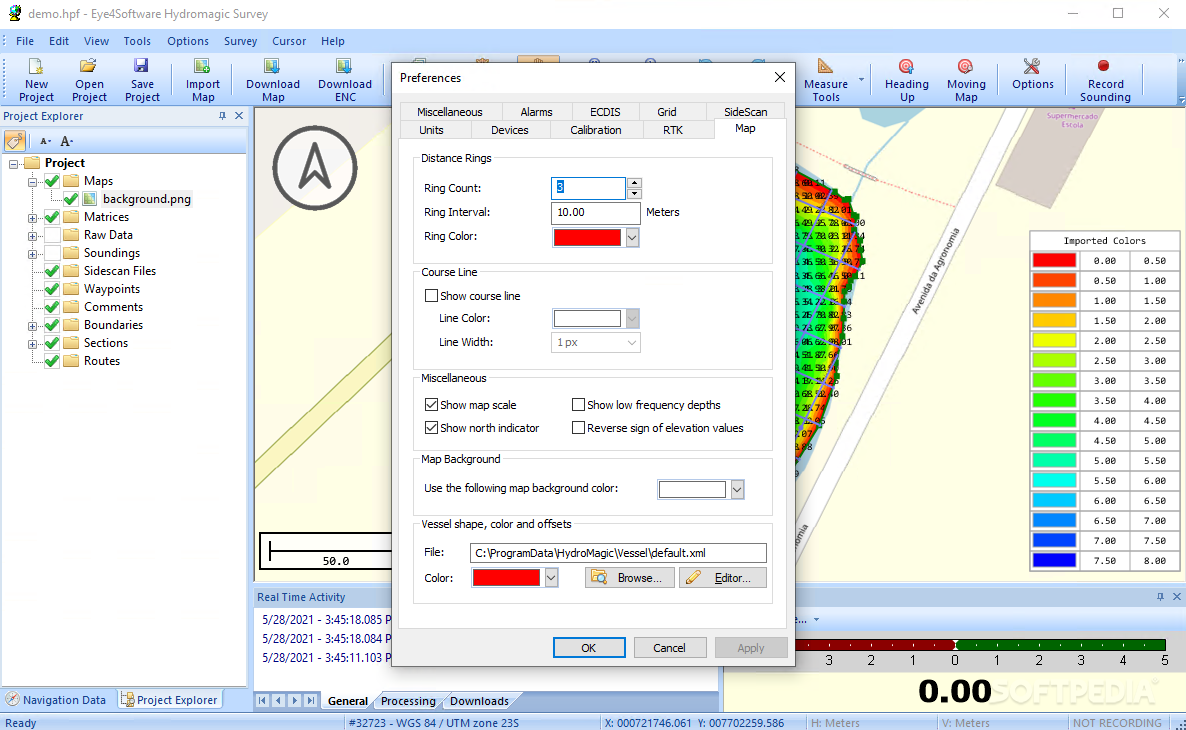
You can calculate geoidal separations for certain points or convert measurement units easily. Want to see tide predictions? No problem! Just set the date, country, station, datum, and timezone. Plus, you can customize your matrix color scheme or even draw boundaries by selecting corner coordinates!
Performance & Support
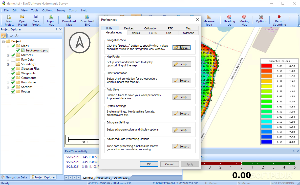
This software runs smoothly on PCs without slowing down performance during our tests. It responds quickly to commands and remains stable throughout usage—no errors or crashes here! A complete help manual is included too; definitely check it out to learn all about using Eye4Software Hydromagic effectively.
If you're looking for a reliable hydrographic survey tool that meets most users' needs without any hassle—download Eye4Software Hydromagic. It's worth checking out!
User Reviews for Eye4Software Hydromagic 7
-
for Eye4Software Hydromagic
Eye4Software Hydromagic offers a vast array of advanced features for hydrographic surveying. User-friendly GUI and stable performance make it a reliable choice.
-
for Eye4Software Hydromagic
Eye4Software Hydromagic is an outstanding hydrographic survey tool! The features are advanced yet user-friendly, making it easy to map regions and record depths. Highly recommend!
-
for Eye4Software Hydromagic
Absolutely love Eye4Software Hydromagic! It offers everything I need for hydrographic surveys. The interface is intuitive, and the performance is top-notch. Five stars!
-
for Eye4Software Hydromagic
This app is a game-changer for hydrographic surveying. Eye4Software Hydromagic has advanced features that are easy to navigate, making my work efficient and enjoyable.
-
for Eye4Software Hydromagic
Fantastic app! Eye4Software Hydromagic delivers powerful tools for mapping and data processing without slowing down my PC. It's a must-have for professionals in the field!
-
for Eye4Software Hydromagic
Eye4Software Hydromagic is simply amazing! The ability to import various data formats and manage waypoints makes it indispensable for my surveys. Highly satisfied with this software!
-
for Eye4Software Hydromagic
I can't recommend Eye4Software Hydromagic enough! Its comprehensive features and stable performance make it perfect for serious hydrographic work. Truly a reliable application!