

Description
GeoCalc
GeoCalc is a handy tool that helps you convert different coordinate data files. It works great with various mapping systems and can easily team up with any geographic information system software. This means you can quickly calculate coordinates in any of the systems it supports!
Input Options Made Easy
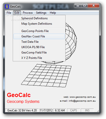
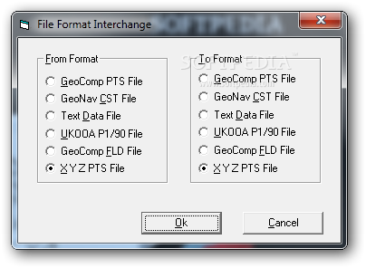
You have options when it comes to inputting data. You can either type it in manually or import it from a points file saved on your computer. GeoCalc plays nicely with several types of files, like GeoComp field files (FLD), GeoNav coast files (CST), text documents, or even UKOOA P1/90 and XYZ points files.
How Do You Want Your Coordinates?
The choice is yours! You can display the coordinates as latitude and longitude, as 'easting and northing' pairs, or even as geocentric (X, Y, Z) points. The best part? GeoCalc allows you to convert directly between these formats so you can save the output right on your device.
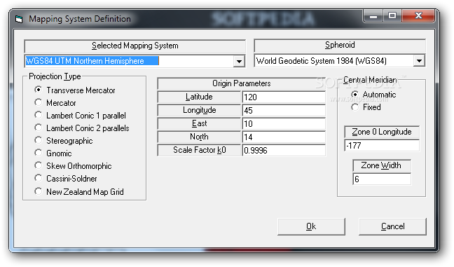
Supported Mapping Systems
You’ll find that GeoCalc supports a variety of mapping systems like Mercator, Transverse Mercator (which is used in places like Australia, Germany, North America, the UK, and Russia), Stereographic (great for Hungary, Poland, the Netherlands, and polar regions), Cassini-Soldner, Gnomic, Skew Orthomorphic, and Lambert Parallel.
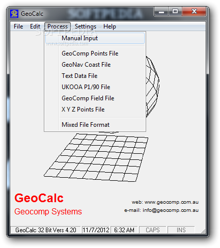
Manual Conversion at Your Fingertips
If you're feeling hands-on, you can choose both the source and target mapping systems yourself and pick which length unit to use. Once you hit that 'Calculate' button, you'll see results for all coordinate types pop up instantly!
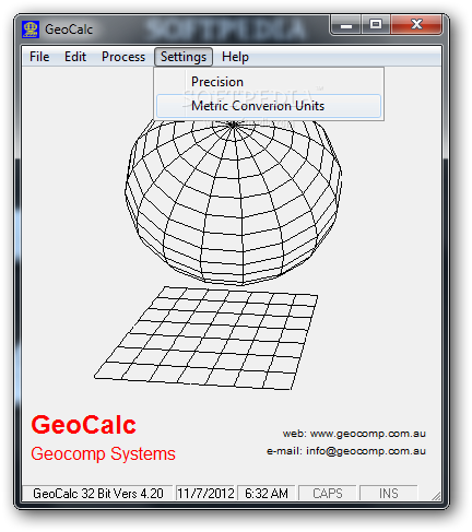
Tweak Your Results
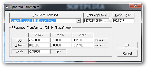
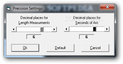
You also have the power to adjust your calculations by changing spheroid parameters and map system definitions. The accuracy of your results will depend on how many decimals you set for length measurements and seconds of arc.
A Must-Have Tool for GIS Enthusiasts!
GeoCalc is truly an awesome tool for anyone into GIS—whether you're a pro or just starting out! It makes converting coordinate values super easy while displaying geographic projections in different mapping systems. Ready to give it a try? Check out this link for more info!
User Reviews for GeoCalc 8
-
for GeoCalc
GeoCalc is a must-have for GIS experts. It effortlessly converts coordinates in various mapping systems, providing accurate results instantly.
-
for GeoCalc
GeoCalc brings innovative solutions to all geodetic calculations.
-
for GeoCalc
GeoCalc is an amazing app! It makes coordinate conversion super easy and accurate. Highly recommend!
-
for GeoCalc
I love using GeoCalc for my GIS projects. The variety of mapping systems supported is fantastic!
-
for GeoCalc
Best app for coordinate conversion! User-friendly interface and quick results. Five stars all the way!
-
for GeoCalc
GeoCalc has simplified my work with geographic data. Accurate, fast, and very versatile. Great tool!
-
for GeoCalc
This app is a lifesaver for anyone dealing with coordinates! Easy to use and highly effective.