
Description
Geographic Calculator Download - Advanced Geospatial Data Conversion Software
Looking for a comprehensive solution for geospatial data processing? Geographic Calculator stands as a premier software tool designed to simplify the complex world of geospatial data conversion, translation, and manipulation. This powerful application delivers professional-grade capabilities for GIS professionals, surveyors, and researchers who need precise and efficient geographic calculations.
With Geographic Calculator download, users gain access to a versatile toolkit that handles everything from basic coordinate transformations to complex geodetic calculations. The intuitive interface makes geospatial data management accessible while maintaining the advanced functionality needed for professional applications.
Key Features and Capabilities
Geographic Calculator offers a robust set of conversion tools that handle various data processing needs. Whether you're working with single points or massive datasets, this geospatial conversion software provides the precision and reliability required for professional applications.
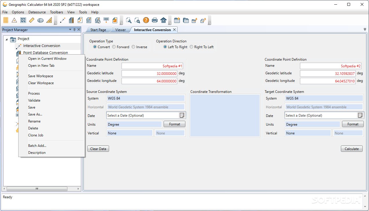
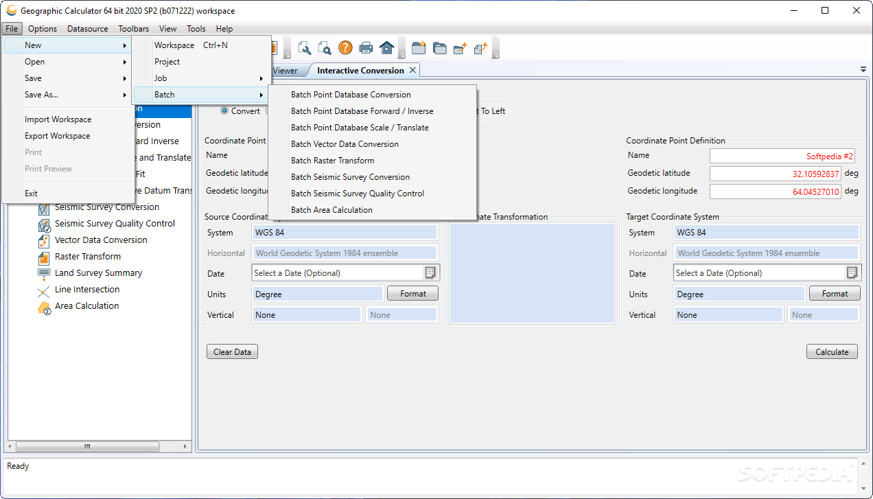
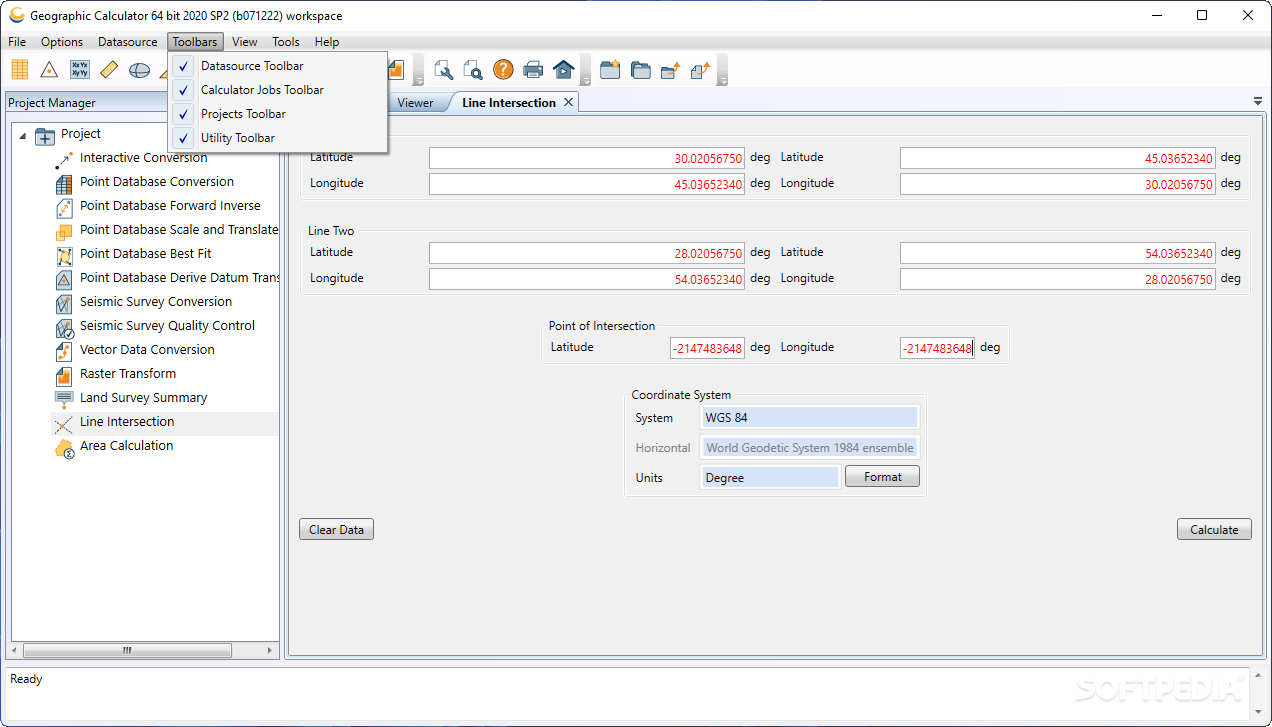
The application excels in performing multiple types of conversions including 'Interactive', 'Point Database', 'Seismic Survey', and 'Vector Data' transformations. Advanced calculation options extend to inverse operations, best fit analysis, scale and translate functions, and datum shift derivation.
Comprehensive Conversion Options
- Interactive point-by-point conversions for precise control
- Batch processing of point databases for efficiency
- Specialized seismic survey data handling capabilities
- Vector data transformation with integrity preservation
- Multiple calculation methodologies (inverse, best fit, scale/translate)

User-Friendly Workflow and Project Management
When you download Geographic Calculator, you'll appreciate its thoughtfully designed interface that streamlines complex geospatial operations. The built-in project manager helps organize your work and facilitates collaboration through easy project sharing. This organizational structure proves invaluable for teams working on recurring or complex geographic data projects.
The workflow remains consistent regardless of the conversion type you're performing. Simply select your input data, specify the operation type, and click 'Calculate' to generate results. This consistency across different conversion types reduces the learning curve and improves productivity.
Format Compatibility and Data Source Management
This geospatial conversion software supports an impressive array of GIS formats, making it exceptionally versatile for various industry applications. The comprehensive format support ensures compatibility with existing workflows and data sources.
- GeoTIFF for georeferenced raster imagery
- Mapinfo Table for vector data management
- ESRI World formats (TFW, WLD, JGW)
- Standard image formats including BMP and JPG2000
- Enhanced Compressed Wavelet (ECW) support
- LizardTech's MrSID format compatibility
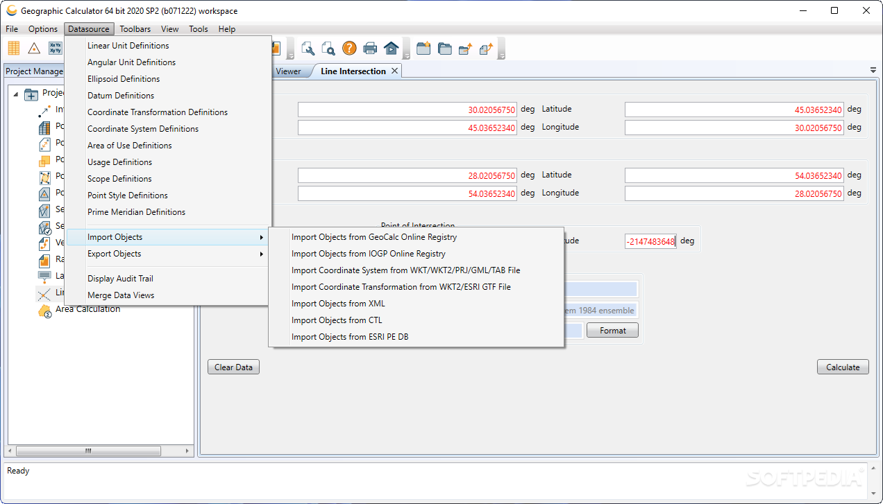
Geographic Calculator also provides robust tools for geodetic data source management. Users can edit existing sources, import information from new ones, or export to XML format using numerous data source commands, enhancing the software's flexibility and integration capabilities.

Specialized Industry Applications
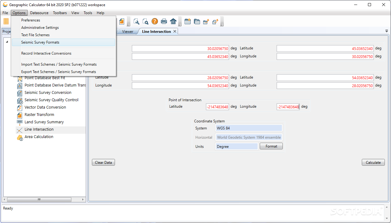
The software offers specialized functionality for seismic and survey data, allowing users to edit and convert SEG, SPS, and UKOOA files with precision. This makes Geographic Calculator particularly valuable for professionals in the petroleum exploration, geological survey, and geophysical research sectors.
Built to handle large-scale data processing challenges, Geographic Calculator download can save hours of calculation time when working with complex datasets. The application's architecture is optimized for performance even when dealing with massive geospatial information repositories.
Advanced Productivity Features
- Batch image transformation capabilities
- Custom processing template creation for recurring projects
- Job chaining functionality for complex workflows
- Built-in data viewer for pre-conversion verification
The ability to transform multiple images simultaneously significantly increases productivity for GIS professionals working with raster datasets. Furthermore, the custom template functionality allows users to standardize processes for recurring projects, ensuring consistency and reducing setup time.
Technical Specifications and Requirements
- Operating Systems: Windows 10/11 (64-bit)
- Processor: Multi-core CPU recommended for batch processing
- Memory: Minimum 8GB RAM (16GB+ recommended for large datasets)
- Storage: 500MB for installation (additional space needed for projects)
- Display: 1920×1080 resolution or higher recommended

Conclusion
Geographic Calculator stands as an essential tool for professionals working with geospatial data across numerous industries. Its comprehensive conversion capabilities, format compatibility, and productivity features make it a standout choice for geodetic calculations and transformations.
When you need reliable, precise, and efficient geospatial conversion software, Geographic Calculator delivers exceptional performance. The combination of user-friendly operation and advanced functionality places this application at the forefront of professional geographic data processing solutions.
Download Geographic Calculator today to experience how this powerful software can transform your geospatial data workflow, increase productivity, and ensure the highest level of accuracy in your geographic calculations.
```
User Reviews for Geographic Calculator 8
-
for Geographic Calculator
Geographic Calculator simplifies geospatial data tasks with ease. The project manager feature is a standout for organizing and sharing projects.
-
for Geographic Calculator
The Geographic Calculator is exceptionally resourceful for all geolocation tasks.
-
for Geographic Calculator
Geographic Calculator is an absolute game-changer! The interface is user-friendly, making data conversion a breeze.
-
for Geographic Calculator
I've been using Geographic Calculator for my projects, and it has saved me so much time with its powerful features!
-
for Geographic Calculator
This app simplifies geospatial data processing immensely. I love the ability to handle multiple formats seamlessly!
-
for Geographic Calculator
Highly recommend Geographic Calculator! It’s efficient and allows me to manage my projects effortlessly.
-
for Geographic Calculator
The functionality of Geographic Calculator is impressive. It handles complex data with ease and accuracy!