
Description
GeoSatSignal
GeoSatSignal is a handy software tool for anyone looking to work with geostationary satellites. Whether you're a pro or just curious, this program helps you grab and enhance images in cool ways.
Compatible Satellites
This software can handle various satellites like NOAA GOES-E, GOES-W, Meteosat, and MTSAT-1R. It’s pretty versatile!
Create Stunning Images
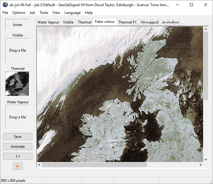
With GeoSatSignal, you can create large composite images and even false-color photos using both visible and infrared channels. Plus, don’t worry about distortion; this tool keeps your images clear!
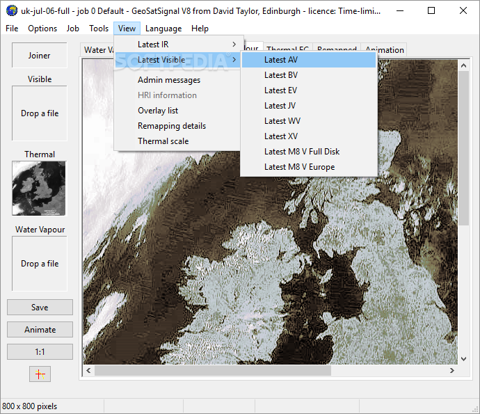
Multiple Views and Animations
If you want to see things from different angles, you can pull data from multiple satellites to get a broader view. And guess what? You can even make animations from the imagery you have.
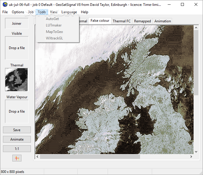
Manipulate Map Projections
This software lets you tweak standard map projections too! You can change the data as needed. It supports various file formats like GSFC .TIF images from GOES-E/GOES-W, Dartcom .ASD files, and Timestep WEFAX .DAT documents.
No Special Equipment Needed
You don’t need any fancy receiving gear to use GeoSatSignal. You can test its features with pictures downloaded straight from the Internet!
Custom Color Lookup Tables
If the included color lookup tables aren't your style, feel free to experiment with your own. It's all about making it work for you!
A Tool for Everyone
In short, GeoSatSignal is an all-in-one solution for viewing and processing satellite images. Its features are designed for both experts and those who are just curious about what they can do with satellite data.
Download GeoSatSignal now!
User Reviews for GeoSatSignal 8
-
for GeoSatSignal
GeoSatSignal offers professionals enhanced imagery capabilities, including large composite images and false-color photos. A versatile software for experts and curious users alike.
-
for GeoSatSignal
GeoSatSignal excels in satellite data processing and visualization.
-
for GeoSatSignal
GeoSatSignal is an incredible tool! The image processing capabilities are top-notch, making satellite data so much easier to work with.
-
for GeoSatSignal
Absolutely love this app! It allows for amazing enhancements and animations of satellite images, perfect for my research.
-
for GeoSatSignal
GeoSatSignal has transformed how I handle satellite imagery. The false-color photo generation is a game-changer!
-
for GeoSatSignal
This app is fantastic! The ability to manipulate map projections and use various file formats makes it incredibly versatile.
-
for GeoSatSignal
GeoSatSignal is an all-around excellent software. It's user-friendly yet powerful enough for professionals in the field!