
Description
Geotrace
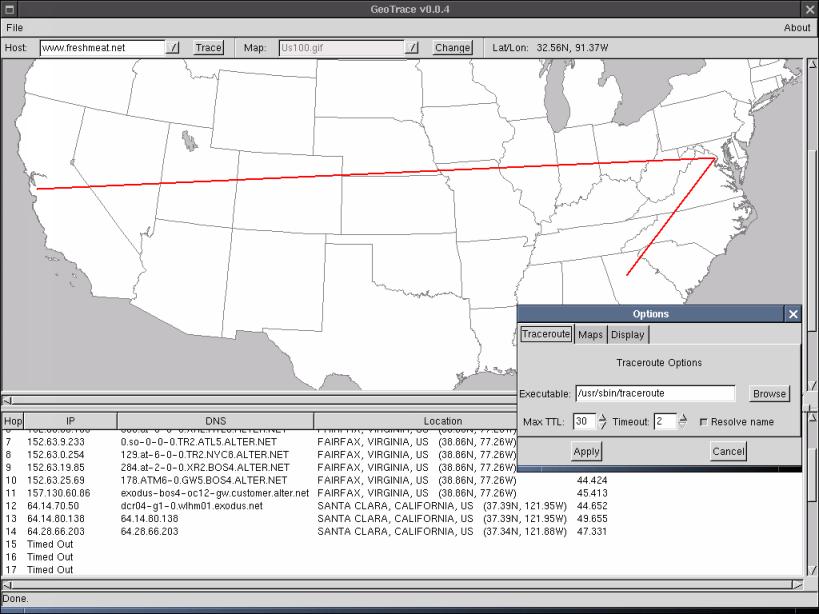
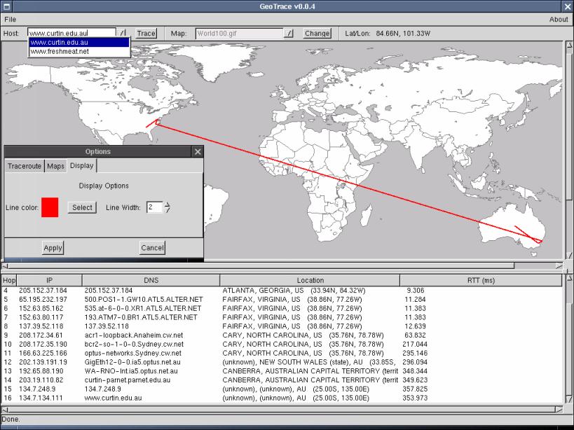
Geotrace is a cool geographical traceroute tool that gives you a nice graphical view right on the map. It comes with tons of geographical maps for you to explore. If you're looking to use a new map with Geotrace, there’s just one key thing to keep in mind: you need the longitude and latitude for the top left and bottom right corners of your map.
Finding Your Map
Most maps you find online are centered around 0,0, which is about 5 degrees south of Ghana and 10 degrees west of Gabon (just in case you were wondering, that's in Africa!). Here’s how to get started:
- First off, you need to find a map. There are loads available online! NASA has some, but fair warning—it can be a bit messy over there. You might also want to check out websites that have maps for XGlobe and XPlanet.
- Your image should be in a format that Geotrace understands, like JPEG or GIF—most images you'll find will be just fine.
- Next, go into the maps/ directory within Geotrace. Place your new map there and open up
maps.properties. - You’ll see a line that says
MAPS:World50.gif, World100.gif, etc. This lists all the maps currently available. Just add the name of your new map on this line. - Now we need to tell Geotrace what the coordinates are! Add this line:
filename:BOUNDARY=lon1,lat1,lon2,lat2. Remember: filename:This is case sensitive; make sure your map is in the maps/ folder.lon1andlat1: These are for the top left corner.lon2andlat2: These are for the bottom right corner.- Additions like line color and width options.
- You can now use command-line arguments for host tracing and startup maps!
- Status bar added along with warnings about checking paths when running it for the first time.
- A bunch of bug fixes including issues where traces wouldn’t draw or crashes during hop timeouts!
- You can even choose whether or not
If you're using most found maps, you'll probably see coordinates like -180,90,180,-90 because they center around 0,0. But if you're working with the two world maps (World100 and World50) from Geotrace, those center around 10W,0.
Selecting Your Map
You might notice that three US maps have an extra line linked to them—that's related to something called the Alber projection. Don’t worry if it sounds complicated; you likely won't have to deal with it!
The final step? Run Geotrace! Select your newly added map from the drop-down menu and enjoy exploring!
Limitations & Updates
Limitations:
If some hops show strange locations—well—that's not on me! The netgeo server hasn’t fully updated its records yet. My advice? Just roll with it!
What's New In This Release:
User Reviews for Geotrace FOR LINUX 7
-
for Geotrace FOR LINUX
Geotrace FOR LINUX provides a unique graphical view on the map. Easy steps to add new maps with longitude/latitude coordinates. Great for geographical tracing.
-
for Geotrace FOR LINUX
Geotrace is an amazing app! The graphical map view makes tracing routes so much easier. Highly recommended!
-
for Geotrace FOR LINUX
I love Geotrace! The ability to add custom maps is a game changer. It's user-friendly and very effective!
-
for Geotrace FOR LINUX
Absolutely fantastic app! Geotrace gives detailed geographical insights with a beautiful interface. Five stars!
-
for Geotrace FOR LINUX
Geotrace has exceeded my expectations! The features are intuitive, and it provides great visualizations of routes.
-
for Geotrace FOR LINUX
This app is top-notch! Geotrace's functionality and ease of use make it a must-have for anyone interested in geography.
-
for Geotrace FOR LINUX
I'm impressed with Geotrace! It’s simple to set up and gives clear, informative maps for all my tracing needs.