
Description
Download gINT: Professional Geotechnical Data Management Software

gINT stands as a comprehensive and powerful data management solution specifically engineered for professionals in the geotechnical and geoenvironmental industries. This sophisticated application enables users to efficiently manage borehole data and generate detailed professional reports with ease. Whether you need to download gINT for your engineering firm or geological research project, this software delivers exceptional functionality that streamlines complex geotechnical data processing tasks.
The intuitive interface allows specialists to input data manually or import information directly from field portable devices, creating a seamless workflow from site investigation to final reporting. As a leading geotechnical software solution, gINT has become the preferred choice for engineers and environmental scientists seeking reliable data management tools.
Key Features of gINT Software
When you download gINT, you gain access to a comprehensive suite of tools specifically designed for geotechnical data management. The software excels in creating customizable reports that meet industry standards while providing flexibility to adapt to specific project requirements.
The application's database structure efficiently organizes complex geological information, allowing users to query and analyze data with precision. gINT's powerful reporting capabilities transform raw field data into professionally formatted documents that can be shared with clients and stakeholders.
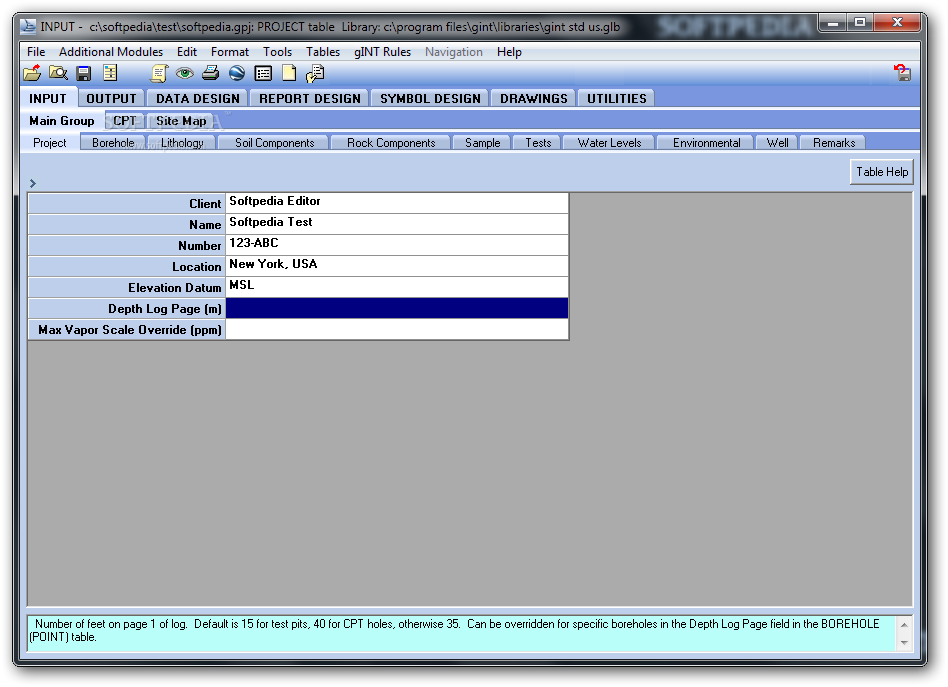
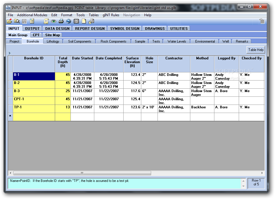
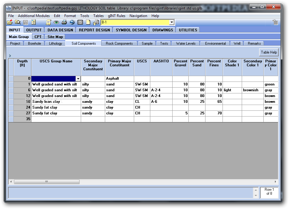
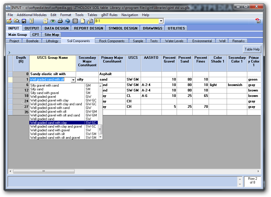
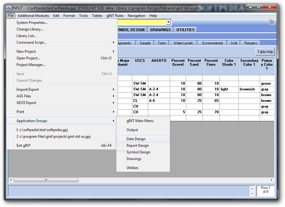
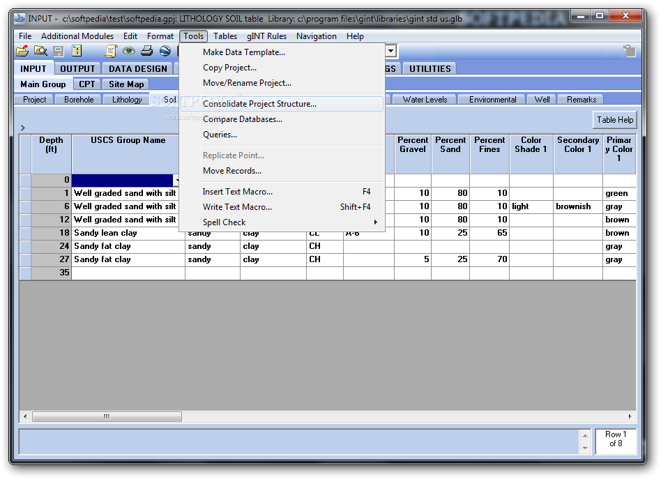
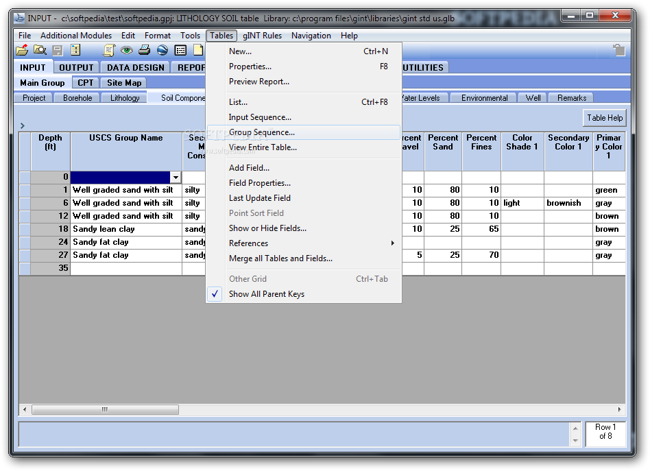
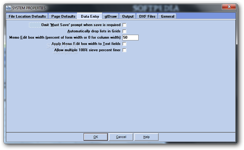
Comprehensive Data Management System
gINT offers robust data management capabilities that allow users to store, organize, and retrieve geological information with exceptional efficiency. The software maintains data integrity while providing multiple access options to ensure your team can collaborate effectively on complex projects.
With support for various data formats and integration capabilities, this geotechnical software creates a centralized repository for all your project information. When you download gINT, you're investing in a solution that grows with your organization's needs.
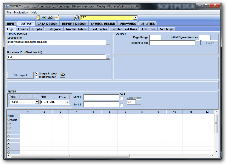
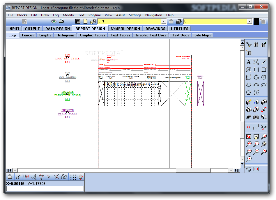
Professional Report Generation
Create impeccable technical reports with gINT's advanced report generation tools. The software includes numerous predefined templates while allowing complete customization to match your organization's branding and reporting standards.
From simple borehole logs to complex cross-sections and analytical reports, gINT transforms raw geological data into clear, visually appealing documents that effectively communicate your findings to clients and stakeholders.
Technical Specifications
- System Requirements: Windows 10/11 (64-bit)
- Processor: Intel Core i5 or equivalent (i7 recommended for large datasets)
- RAM: 8GB minimum (16GB recommended)
- Hard Drive Space: 5GB free space minimum
- Display: 1920 x 1080 resolution recommended
- Additional Software: Microsoft Office (for certain export features)
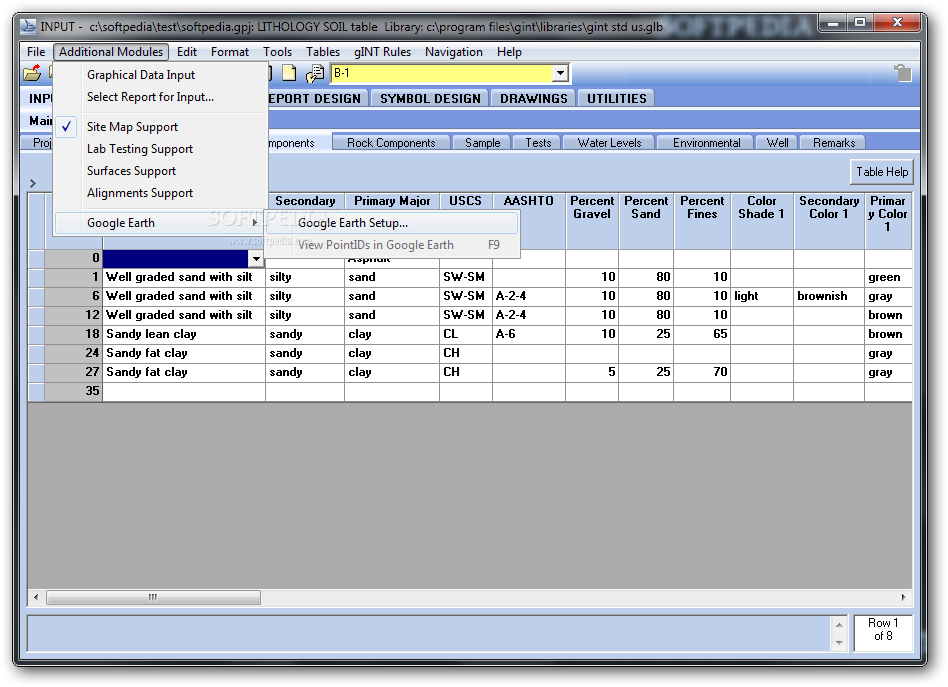
Enhanced Functionality Through Add-ins
The base version of gINT provides exceptional value, but users can significantly expand its capabilities through specialized add-ins. These extensions enable advanced data analysis, specialized reporting features, and integration with other software platforms commonly used in geotechnical engineering.
When you download gINT and its companion add-ins, you create a customized software environment that precisely matches your organization's workflow and project requirements. These modular components allow you to invest only in the features you need while maintaining the option to expand capabilities as projects demand.
Available Add-in Options
- Advanced Visualization Tools: Enhanced graphical representation of subsurface conditions
- Statistical Analysis Package: Comprehensive data analysis tools for geological assessment
- Integration Modules: Seamless connection with CAD, GIS, and other engineering software
- Custom Report Designer: Additional templates and design tools for specialized reporting needs
- Data Exchange Utilities: Import/export capabilities for various industry-standard formats
Industry Applications
Geotechnical professionals across multiple sectors benefit from downloading gINT for their data management needs. The software serves as an essential tool for engineering firms conducting site investigations, environmental consultants monitoring contamination, and construction companies evaluating ground conditions.
Mining operations, infrastructure development projects, and environmental remediation efforts all rely on the precise data management and reporting capabilities that gINT provides. The software's flexibility allows it to adapt to various project scales, from small residential assessments to major infrastructure developments.
Why Choose gINT?
When selecting geotechnical software, professionals need solutions that combine ease of use with powerful functionality. gINT delivers this balance, offering intuitive interfaces for new users while providing the robust capabilities that experienced specialists demand.
The software's proven track record in the geotechnical industry makes it a reliable choice for organizations of all sizes. By choosing to download gINT from our trusted platform, you gain access to a solution that thousands of professionals worldwide depend on for their critical geotechnical data management needs.
Experience the comprehensive capabilities of this premier geotechnical software by downloading gINT today. Transform your approach to geological data management and reporting with tools designed specifically for industry professionals.
```
User Reviews for gINT 8
-
for gINT
gINT is essential for geotechnical and geoenvironmental specialists. It efficiently manages borehole data and creates impressive reports. Enhance it with add-ins for more functionality.
-
for gINT
gINT offers robust data management and reporting for geotechnical engineers.
-
for gINT
gINT has transformed the way I handle geotechnical reports. It's user-friendly and incredibly powerful!
-
for gINT
As a geoenvironmental specialist, gINT is my go-to tool. The ability to import data saves me so much time!
-
for gINT
Highly recommend gINT! The range of report types and add-ins makes it versatile for any project.
-
for gINT
gINT is a game changer in the industry. The ease of creating detailed reports is unmatched!
-
for gINT
gINT is an exceptional app for managing geotechnical data! The reporting features are top-notch.