
Description
GIS ObjectLand Download: A Universal Geographic Information System
NOTE: This application is free for non-commercial use.

Are you a professional working extensively with geographical data, maps, terrains, and geolocation resources? Finding it challenging to manage multiple data formats and sources? GIS ObjectLand download offers a comprehensive solution to integrate all your geographical information in one powerful system. This versatile Geographic Information System (GIS) application enables users to create sophisticated vector-raster maps with custom feature types and layer structures, all while providing seamless database integration.
GIS ObjectLand stands out as a robust mapping solution that simplifies complex geographical data management. Whether you're an urban planner, environmental researcher, or land management professional, downloading GIS ObjectLand provides you with essential tools to visualize, analyze, and present spatial information effectively.
Versatile File Format Compatibility
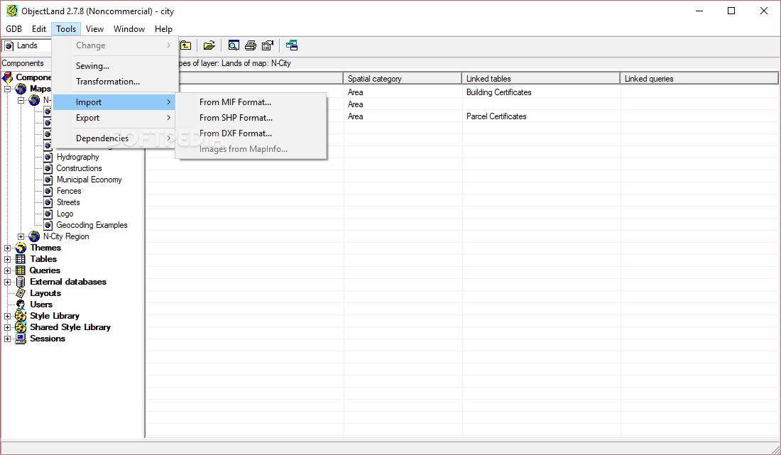
The GIS ObjectLand download supports an impressive range of file formats, making it a truly universal Geographic Information System. Users can effortlessly import and export various industry-standard formats including:
- MIF/MID (MapInfo) files for vector data exchange
- DXF (AutoCAD) drawings for CAD integration
- CSV files for spreadsheet-based geographical data
- DBF (dBASE) databases for attribute information
- SHP (ArcView) shapefiles for vector feature storage
This extensive format compatibility ensures that GIS ObjectLand integrates smoothly with your existing workflows and data sources. The software handles data conversion between these formats with minimal user intervention, saving valuable time and reducing potential errors in your GIS projects.
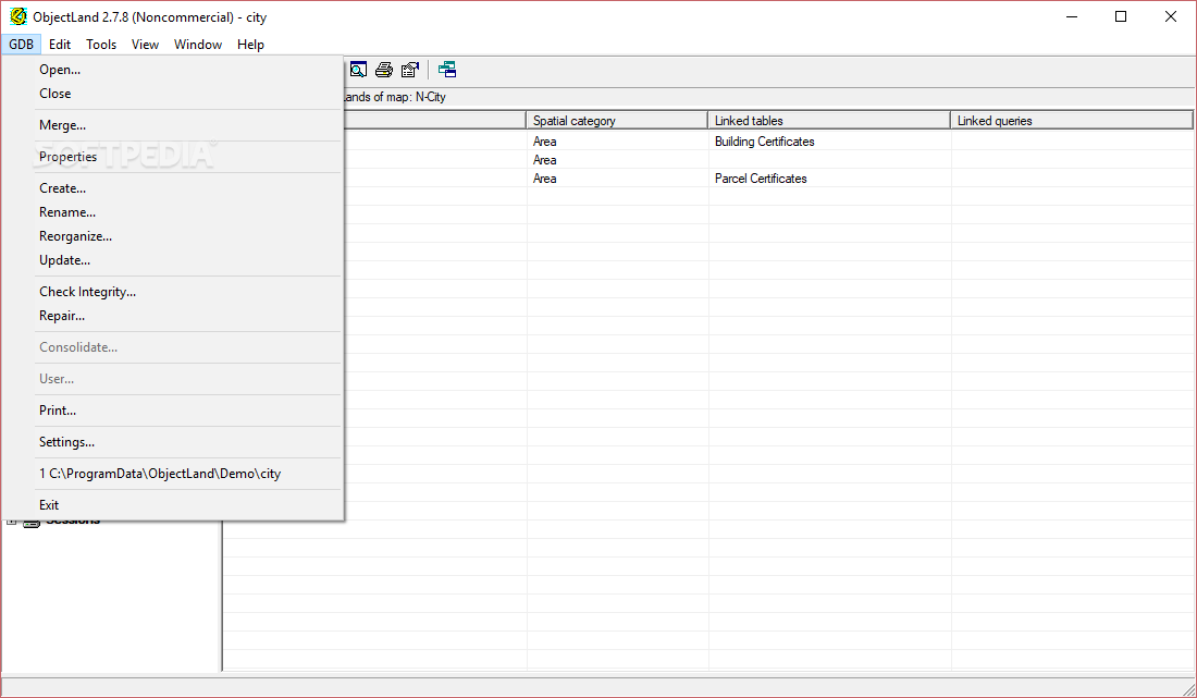
Flexible Database Storage Options

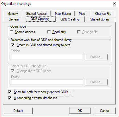
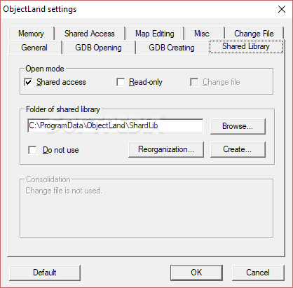
When you download GIS ObjectLand, you gain access to versatile data storage capabilities. The application offers two primary approaches to managing your geographical information:
- Internal ObjectLand Database: Store all map data within the application's native format
- External Database Support: Connect directly to enterprise database systems including:
- MS SQL Server
- DB2
- Oracle
- MySQL
- Interbase/Firebird
- MS Access
- PostgreSQL
This flexibility makes GIS ObjectLand an ideal solution for both individual users and organizations with established database infrastructures. The ability to connect directly to enterprise databases enhances collaboration possibilities and data integrity within larger teams.
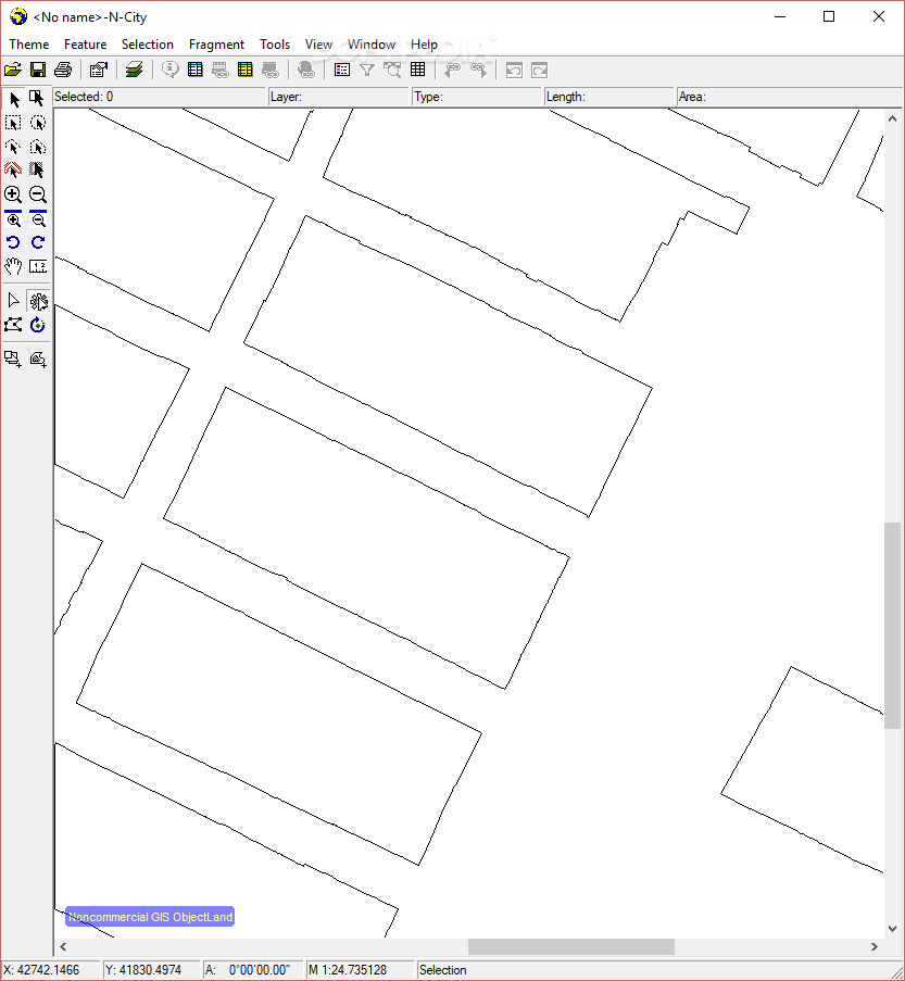
Advanced Mapping Capabilities
The GIS ObjectLand application provides sophisticated mapping features that empower users to create detailed geographical visualizations. Some of the key capabilities include:
- Scale-dependent feature display for optimal map readability
- Direct coordinate assignment for precise data placement
- Interactive drawing using standard input devices
- Map page merging to create comprehensive large-scale maps
- Custom table and query creation for data analysis
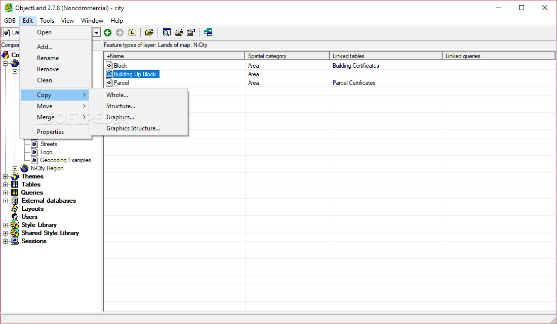
- Object manipulation across different databases (move, copy, merge)
These features make GIS ObjectLand download particularly valuable for professionals who need to generate accurate, information-rich maps for analysis, presentation, or decision-making purposes.
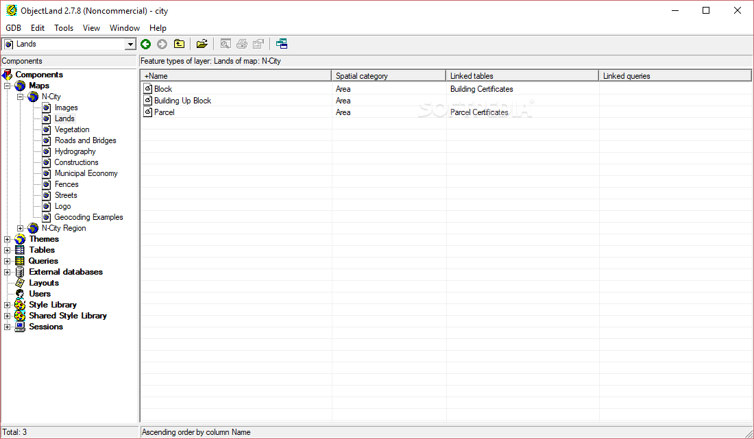
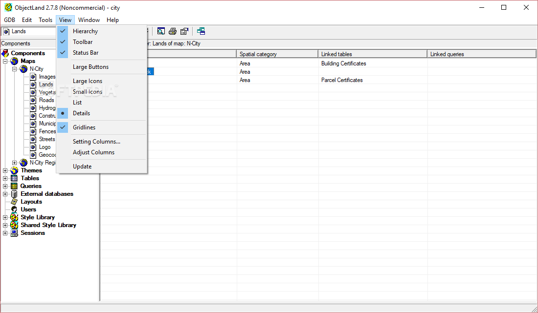
User Interface and Experience

While GIS ObjectLand may not feature the most modern visual design, its interface is highly functional and purpose-built. The application's layout resembles earlier Windows operating systems (95/98), giving it a classic appearance that prioritizes functionality over aesthetics. For GIS professionals and serious users, this practical approach ensures that all tools and features remain easily accessible.
The straightforward menu structure and logical organization of commands make navigating through GIS ObjectLand intuitive even for new users. The software's focus on operational efficiency rather than visual embellishments aligns perfectly with the needs of professional GIS specialists who value productivity and reliability.
Technical Specifications
- License Type: Free for non-commercial use
- Operating System: Windows-based systems
- File Format Support: MIF/MID, DXF, CSV, DBF, SHP
- Database Compatibility: MS SQL Server, DB2, Oracle, MySQL, Interbase/Firebird, MS Access, PostgreSQL
- System Requirements: Standard Windows system with minimal graphics capabilities
- Installation: Simple setup process with database configuration options
Who Should Download GIS ObjectLand?
GIS ObjectLand download is particularly valuable for professionals working in fields like:
- Urban and regional planning
- Environmental management
- Land surveying and mapping
- Infrastructure development
- Resource management
- Academic research involving geographical data
If you regularly work with multiple geographic information formats and need a reliable system to manage, visualize, and analyze spatial data, downloading GIS ObjectLand provides an effective solution that bridges the gap between different data sources and formats.
For users seeking a comprehensive geographic information system with powerful database integration capabilities, GIS ObjectLand offers an accessible yet feature-rich alternative to more complex commercial GIS platforms, especially for non-commercial applications.
```
User Reviews for GIS ObjectLand 10
-
for GIS ObjectLand
GIS ObjectLand provides a comprehensive GIS platform for managing geographic data easily. The interface may be basic, but functionality is top-notch.
-
for GIS ObjectLand
GIS ObjectLand excels at handling various file formats efficiently. Professionals will appreciate its data migration capabilities across different databases.
-
for GIS ObjectLand
While GIS ObjectLand may not have a visually appealing interface, its powerful features make it a valuable tool for managing geographical resources.
-
for GIS ObjectLand
GIS ObjectLand delivers efficient geographic data management with high precision.
-
for GIS ObjectLand
GIS ObjectLand is a game changer for anyone needing a reliable GIS tool. Importing and exporting data is seamless!
-
for GIS ObjectLand
Fantastic app! It simplifies the process of creating and managing maps. Highly recommend it for professionals.
-
for GIS ObjectLand
I've tried several GIS apps, but none compare to GIS ObjectLand. It's user-friendly and efficient!