

Description
GLIMPS: Powerful Remote Sensing Data Analysis Software - Download Now
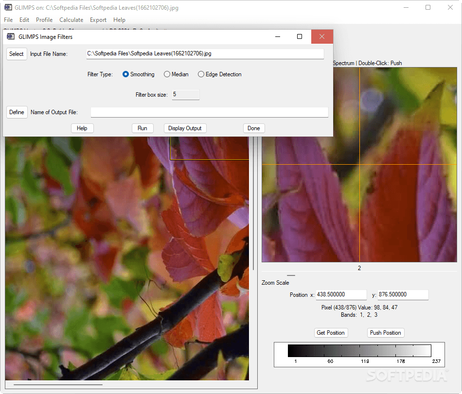
GLIMPS is a comprehensive software solution that revolutionizes the way you analyze remote sensing data. This powerful application serves as an exceptional ENVI file viewer, allowing users to browse images and extract spectra with remarkable precision. Additionally, it incorporates the innovative TRAFO tool, specifically engineered to process PARGE outputs efficiently. If you're seeking a robust remote sensing data analysis software, download GLIMPS today to experience its full capabilities.

Designed with educational environments in mind, GLIMPS provides an accessible approach to analyzing complex remote sensing information. The user-friendly interface makes it ideal for both beginners and experienced professionals working with spectral imaging data. This remote sensing analysis tool bridges the gap between sophisticated data processing and practical application for educational and professional purposes.
Key Features and Capabilities
After downloading GLIMPS, users can immediately take advantage of its extensive array of operations. The software excels in handling both multispectral and hyperspectral imagery, offering comprehensive analysis tools that would typically require multiple specialized applications.
Image Processing Capabilities
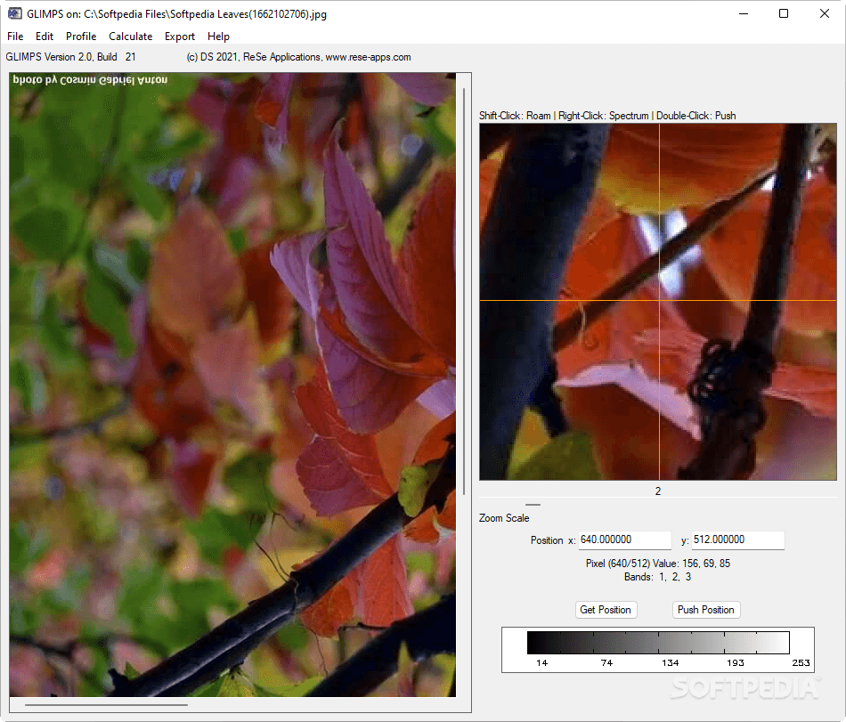
- Select specific spectral band combinations for loaded ENVI images
- Edit file headers with precision and flexibility
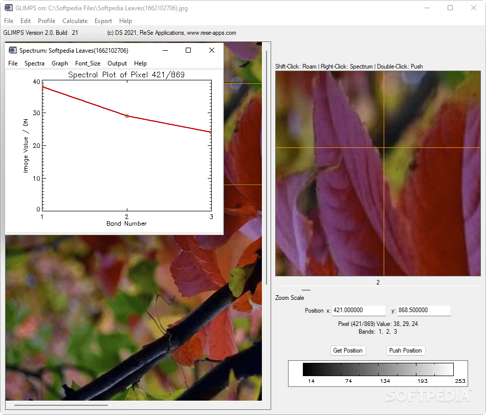
- Plot and analyze spectral libraries for in-depth research
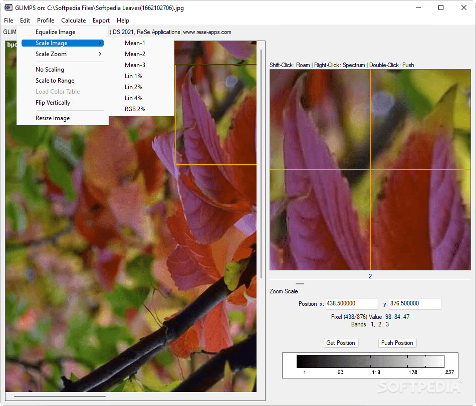
- Equalize histograms to enhance image clarity and detail
- Scale images for optimal viewing and analysis
- Create detailed vertical or horizontal profile plots
The spectral analysis capabilities in GLIMPS allow researchers and students to dive deep into remote sensing data, extracting valuable insights that might otherwise remain hidden. The software's intuitive approach to complex processes makes it an invaluable tool for anyone working with ENVI files and spectral imaging.
Advanced Analysis Tools
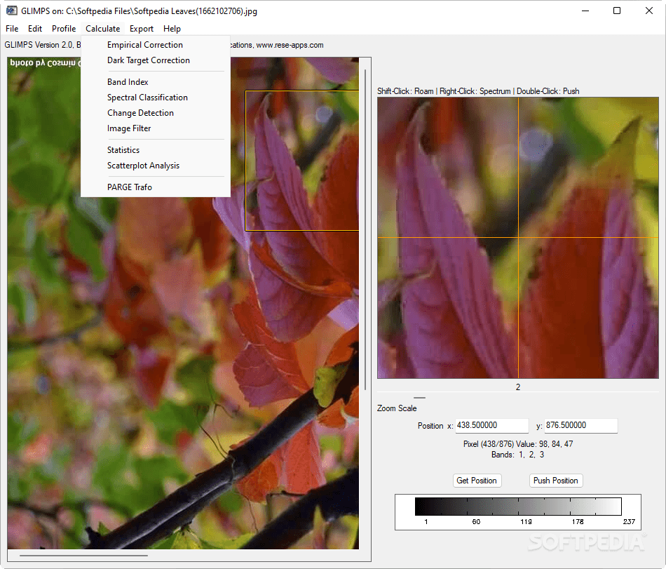
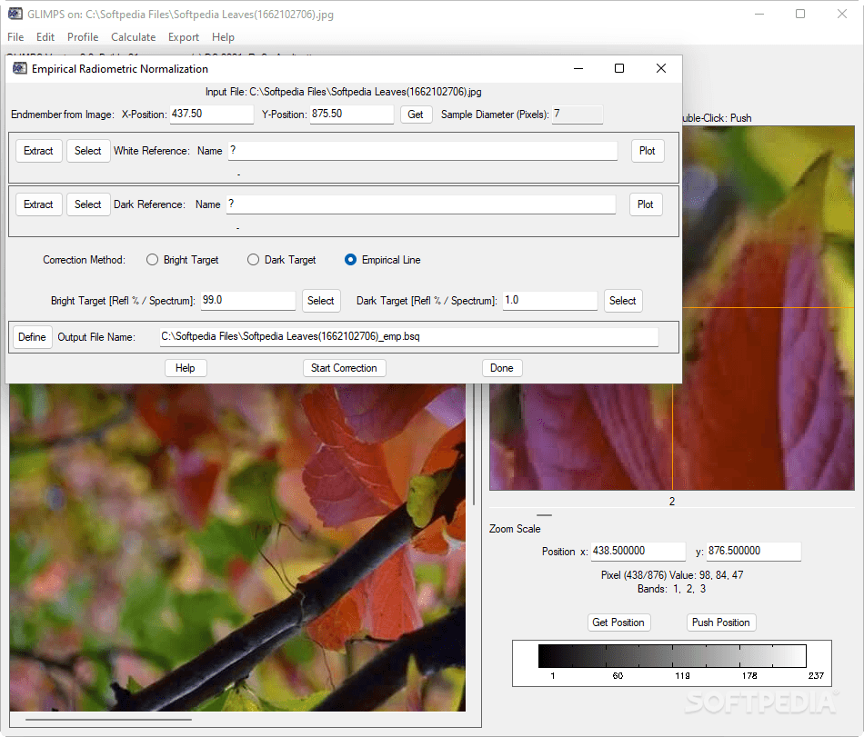
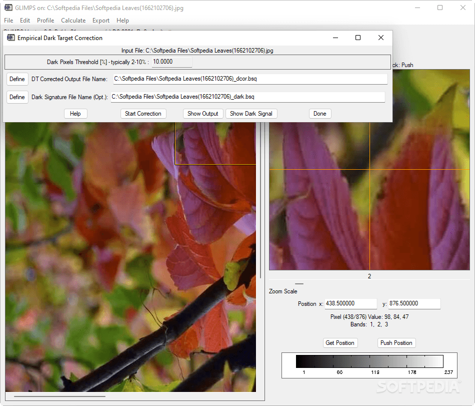
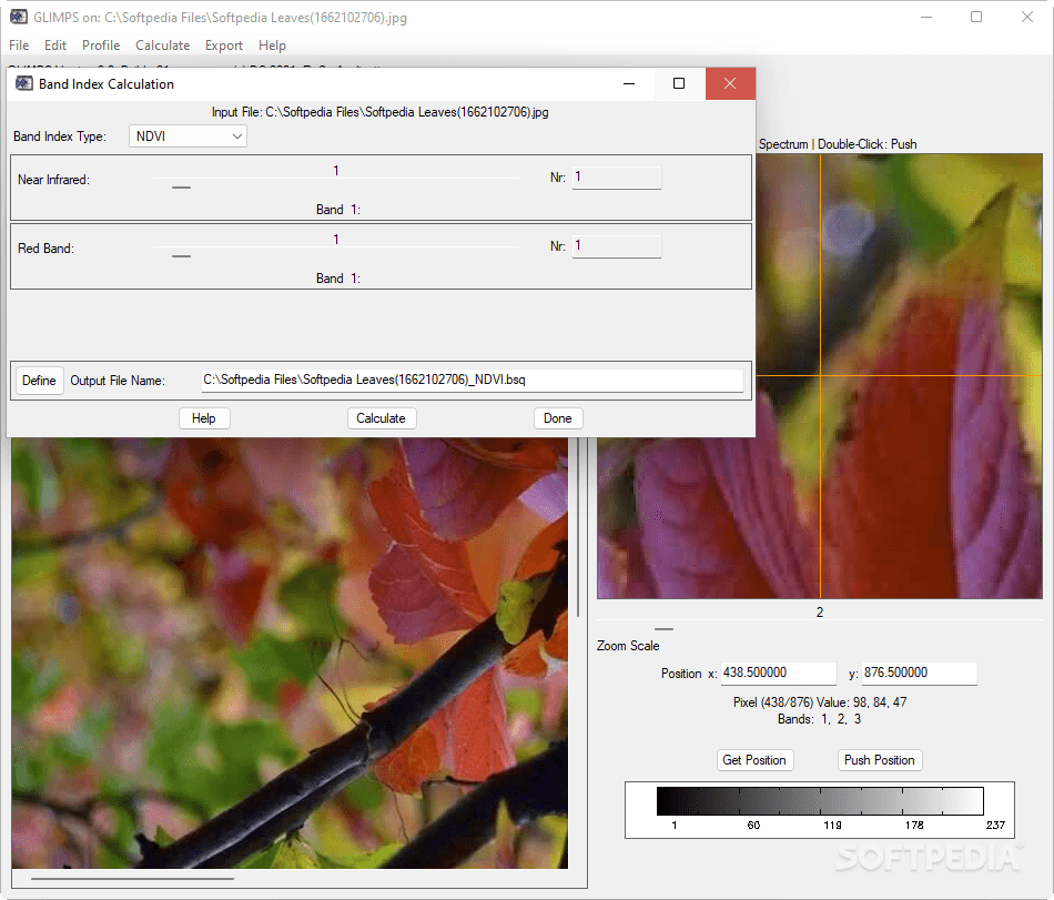
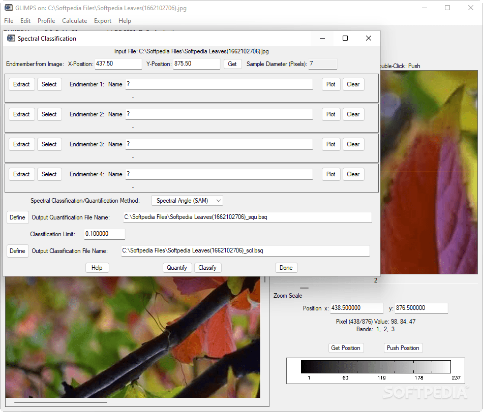
GLIMPS goes beyond basic viewing functionality by incorporating sophisticated analytical tools. Users can calculate standard indices and utilize spectral classification tools to evaluate selected multispectral or hyperspectral images with precision. These features make GLIMPS an essential remote sensing analysis application for both educational and professional environments.

Export Flexibility
- Export full images or zoomed sections
- Multiple format support including GIF, PNG, TIFF, JPEG, and PICT
- Preserve image quality throughout the export process
- Maintain critical metadata during conversions
This versatility in export options ensures that your analysis results can be easily shared or incorporated into reports, presentations, or further studies without losing quality or information integrity. Download GLIMPS to unlock these powerful export capabilities and streamline your remote sensing data workflow.
TRAFO Image Transformer
The included TRAFO image transformer represents one of GLIMPS's most powerful components. This specialized tool focuses on image rectification and offers numerous functions that enhance the overall capability of the software package.
TRAFO Key Features
- Perform BIP/BIL to BSQ conversions with minimal data loss
- Export functions for auxiliary data management
- Multiple resampling options for cartographic cube generation
- Advanced image rectification tools
- Streamlined PARGE output processing
The TRAFO component elevates GLIMPS from a simple viewer to a comprehensive image processing suite, making it an essential download for professionals working with complex remote sensing data formats and transformations.
User Experience Considerations
While GLIMPS offers powerful functionality for remote sensing analysis, first-time users should note that the available instructions are not extensive. The absence of a comprehensive user manual means there might be a learning curve when first exploring the software's capabilities. However, the intuitive design of the interface helps mitigate this limitation, allowing users to gradually discover and master the various features.

Despite this minor drawback, the versatility and power of the GLIMPS software package make it well worth the initial learning investment. Professionals and students in the field of remote sensing will find that this spectral imaging tool provides capabilities that justify the time spent becoming familiar with its operation.
Conclusion
GLIMPS stands as an essential tool for bringing multispectral and spectroscopic remote sensing imagery to your desktop. Its comprehensive approach to data analysis, viewing, and transformation makes it indispensable for educational institutions and professionals working with remote sensing data. While a more detailed user manual would enhance the experience, the powerful functionality justifies making GLIMPS part of your analytical toolkit.
Whether you're analyzing environmental changes, conducting agricultural research, or teaching remote sensing concepts, download GLIMPS today to access a versatile suite of tools that simplify complex processes and enhance your analytical capabilities. This remote sensing software delivers professional-grade functionality in an accessible package designed for real-world applications.
```
User Reviews for GLIMPS 8
-
for GLIMPS
GLIMPS lacks a comprehensive user manual, making it challenging for first-time users. Despite this, it offers powerful tools for remote sensing analysis.
-
for GLIMPS
GLIMPS simply surpasses expectations with its interactive and sleek design.
-
for GLIMPS
GLIMPS is an incredible app for analyzing remote sensing data! The features are robust and user-friendly.
-
for GLIMPS
I love using GLIMPS! It makes spectral analysis so much easier, and the TRAFO tool is a game changer.
-
for GLIMPS
This app is fantastic for anyone working with remote sensing data. It’s powerful yet accessible for education!
-
for GLIMPS
GLIMPS has transformed my approach to remote sensing. The capabilities are impressive, especially the image exporting!
-
for GLIMPS
Highly recommend GLIMPS! It's packed with useful tools and makes analyzing multispectral images a breeze.