

Description
GPS TrackMaker: The Ultimate Mapping and GPS Data Management Tool
GPS TrackMaker provides a comprehensive solution for creating and transferring waypoints, tracklogs, and routes between your GPS device and computer. This powerful application enables real-time tracking and vectorial map creation, making it an essential tool for travelers, hikers, and navigation enthusiasts who need reliable GPS data management.
When you download GPS TrackMaker, you gain access to a versatile platform that simplifies GPS navigation while offering advanced features for both casual and professional users. The application's intuitive interface makes it accessible even for beginners, while providing the depth of functionality needed by experienced navigators.
Key Features and Functionality
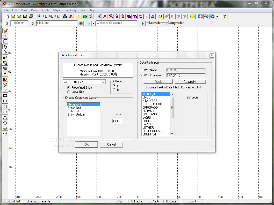
The primary strength of GPS TrackMaker lies in its ability to seamlessly transfer data between your computer and GPS device. After you download GPS TrackMaker, you can both upload and download critical navigation data including customized waypoints, detailed tracklogs, and planned routes with just a few clicks.
Real-time tracking capabilities allow you to create detailed vectorial maps while traveling, documenting your journey with precision. The application also includes analytical tools that calculate distances, speeds, and variations in your travel patterns, providing valuable insights for planning future expeditions.
User-Friendly Interface and Map Creation
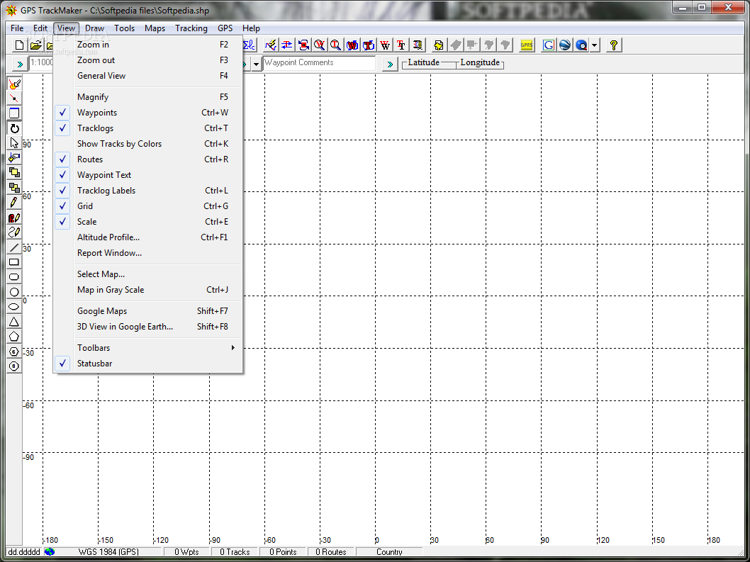
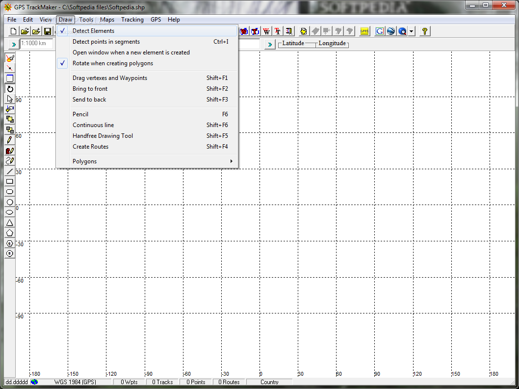
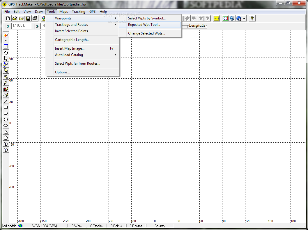
GPS navigation software should be intuitive, and GPS TrackMaker delivers with its accessible design. The application features a straightforward interface that makes map navigation and waypoint creation remarkably simple. Using the built-in pencil tool, you can effortlessly draw courses and add waypoints to create customized maps tailored to your specific needs.
Personalizing your maps is made easy with the extensive library of waypoint icons included in the GPS mapping software. These visual markers help you create distinct, easily recognizable points of interest on your custom maps, enhancing their usefulness for navigation purposes.
Efficient Vectorial Map Technology
One standout advantage of GPS TrackMaker is its use of vectorial map technology, which offers significant benefits compared to traditional mapping solutions:
- Minimal storage requirements for map data
- Substantially faster loading times
- Segment-based loading for optimized performance
- Smooth browsing experience without lag
The segment-loading feature ensures that only visible portions of the map are processed, dramatically improving performance even on less powerful computers. This makes GPS TrackMaker an excellent choice for field use on laptops with limited resources.
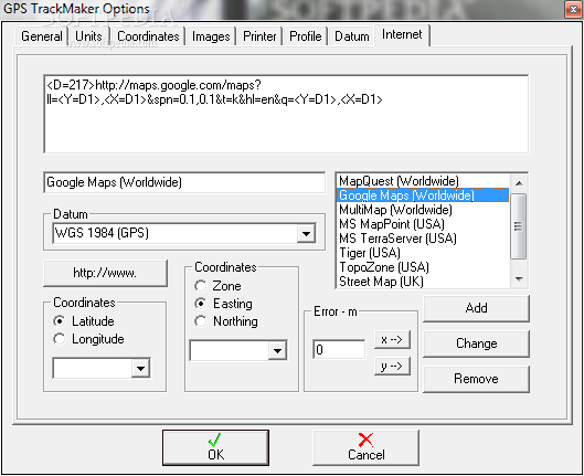
Google Earth Integration
After you download GPS TrackMaker, you'll discover its seamless integration with Google Earth, allowing you to import and utilize KML files effectively. This integration preserves your carefully created tracklogs, routes, and waypoints while enabling you to switch to immersive 3D views through Google Earth.
This compatibility expands the application's functionality beyond basic GPS tracking, creating a more comprehensive navigation ecosystem that combines the strengths of both platforms.
Wide Device Compatibility
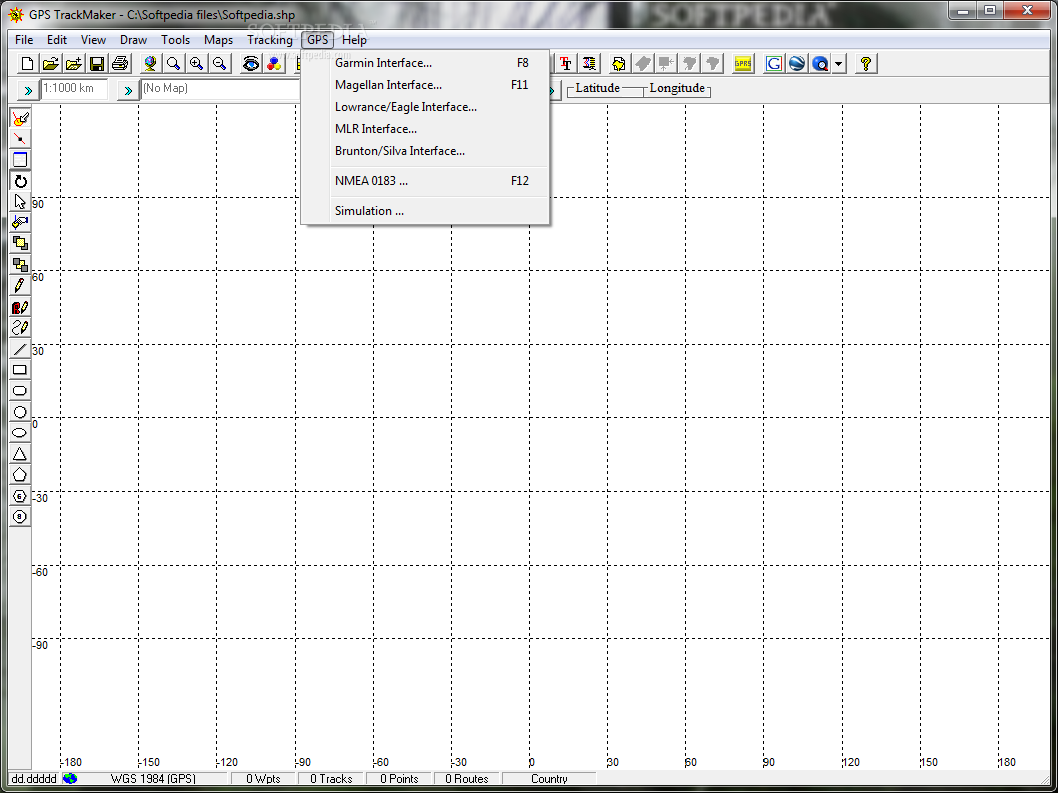
GPS coordinate software is only as good as its compatibility with physical devices, and GPS TrackMaker excels in this area with support for numerous GPS units including:
- Garmin devices
- Magellan GPS units
- Lowrance/Eagle navigation systems
- MLR devices
- Brunton/Silva GPS equipment
This broad compatibility ensures that most users can benefit from the software regardless of their preferred GPS hardware. The application offers flexible data transfer options, allowing you to selectively upload or download specific data types (waypoints, tracklogs, or routes) based on your current needs.
Technical Specifications
- File format: Proprietary GTM format with import/export options
- Map type: Vectorial with segment loading
- Google Earth compatibility: Full KML support
- Data calculation: Distance, speed, and variation analysis
- Interface: Visual map editor with drawing tools
- Customization: Large library of waypoint icons
- Device support: Multiple major GPS manufacturers
Applications and Use Cases
The GPS navigation application serves diverse users including:
- Hikers documenting trails and points of interest
- Road travelers planning and recording journeys
- Outdoor adventurers tracking exploration routes
- Professional surveyors requiring precise location data
- Field researchers mapping study areas
Whether you're planning an expedition, documenting a journey, or analyzing travel patterns, GPS TrackMaker provides the tools needed to create, manage, and utilize GPS data effectively.
When you download GPS TrackMaker, you're equipping yourself with a powerful yet accessible GPS mapping tool that balances ease of use with advanced functionality. Its efficient vectorial technology, broad device compatibility, and Google Earth integration make it an excellent choice for anyone serious about GPS navigation and mapping.

```
User Reviews for GPS TrackMaker 8
-
for GPS TrackMaker
GPS TrackMaker is a versatile tool for creating and managing GPS data. User-friendly interface, fast loading maps, and Google Earth integration make it a top choice.
-
for GPS TrackMaker
GPS TrackMaker offers precise tracking with an intuitively streamlined interface.
-
for GPS TrackMaker
GPS TrackMaker is a game changer for outdoor enthusiasts! Easy to use with fantastic features!
-
for GPS TrackMaker
I love how GPS TrackMaker lets me customize my routes and waypoints. It's so user-friendly!
-
for GPS TrackMaker
This app has transformed my travel experience! The real-time tracking is incredibly accurate.
-
for GPS TrackMaker
Fantastic app! The vectorial maps load quickly and the interface is super intuitive.
-
for GPS TrackMaker
I appreciate the Google Earth integration! It makes visualizing my trips so much easier.