
Description
GraphEarth
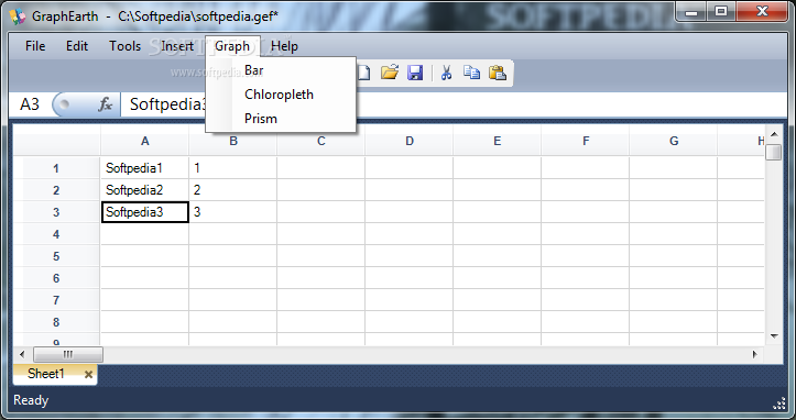
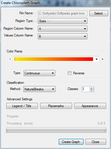
GraphEarth lets you visualize your data in a whole new way—yes, in 3D! With this awesome software, you can create eye-catching visuals of your data without having to buy a pricey GIS (Geographic Information System). Pretty cool, right?
Create Stunning Visuals Easily
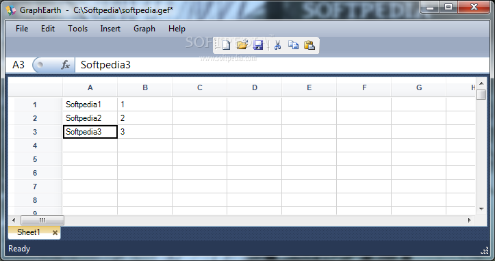
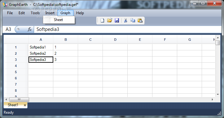
Using GraphEarth is super simple. Just import or make a spreadsheet, and the program takes care of the rest. In just minutes, you can whip up attractive deliverables that anyone can check out if they have Google Earth installed on their device.
No Hassle with Data Formats
No need to deal with shapefiles or databases here—GraphEarth has got your back! It comes with all the geometry you need for countries, states, counties, cities, and even zip codes. That means less headache for you!
Get Started with a Free Trial
Note: Before diving in, remember you'll need to request a free trial activation key to run the application. It’s an easy step that opens up all these cool features for you.
Where to Download GraphEarth
If you're ready to get started and see what GraphEarth can do for your data visualization needs, download it here!
User Reviews for GraphEarth 1
-
for GraphEarth
GraphEarth simplifies data visualization with impressive 3D graphs. No need for expensive GIS. Great for quick, attractive presentations.