


Description
gvSIG
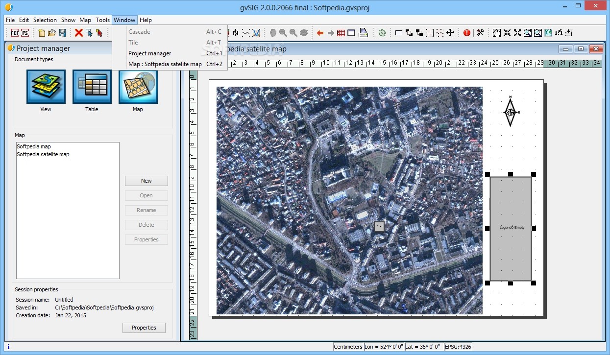
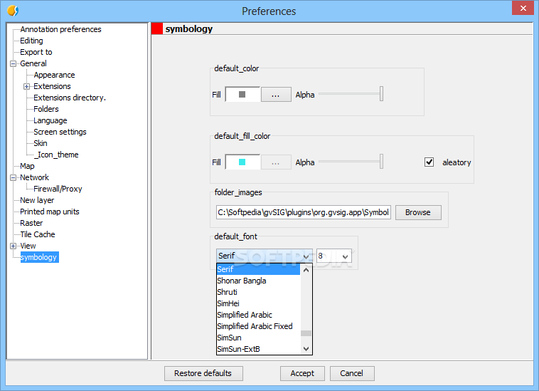
gvSIG is a Geographic Information System (GIS) desktop software that's super handy for capturing, storing, and analyzing all sorts of geographic info. Whether you need to manage complex planning problems or just want to visualize data better, gvSIG has got your back!
User-Friendly Interface
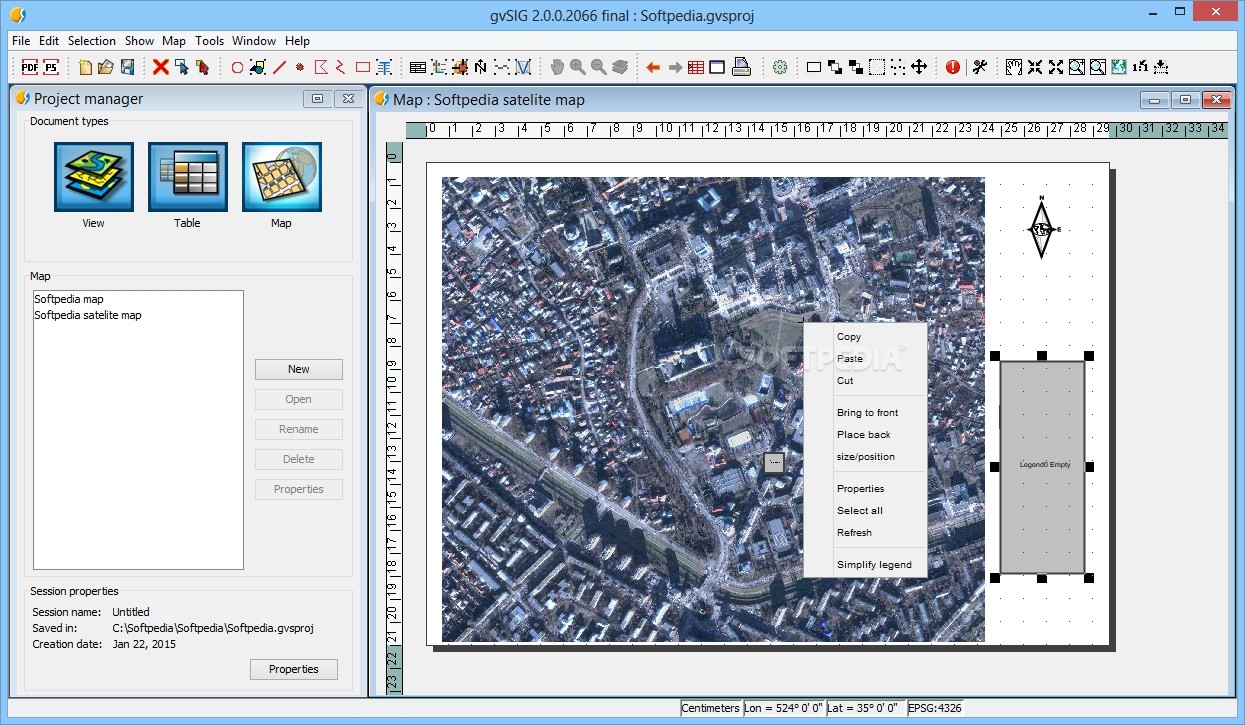
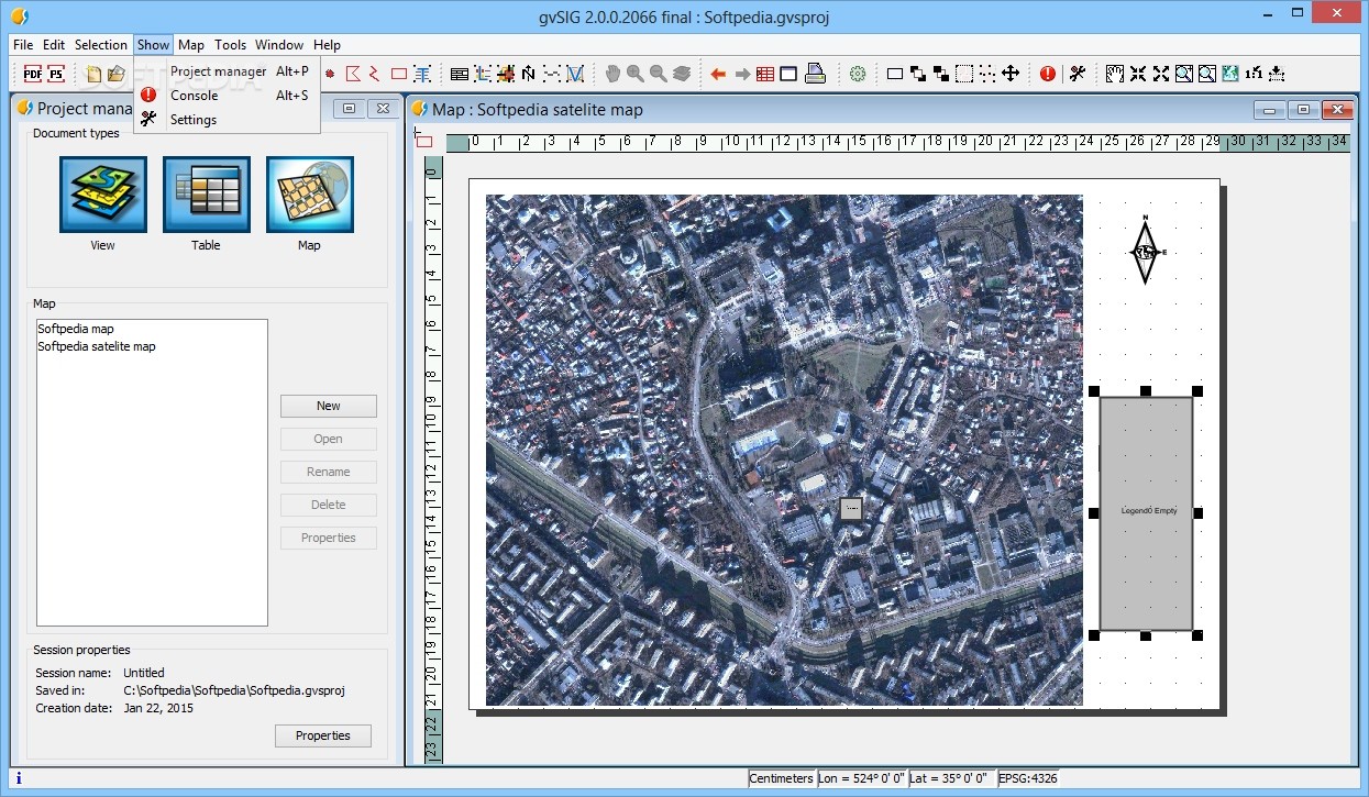
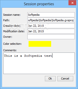
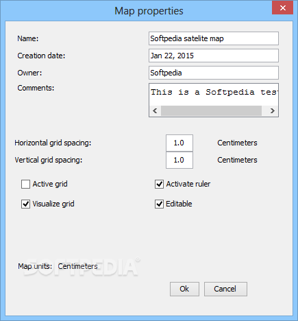
This software is really easy to use! gvSIG boasts a user-friendly interface that makes navigating through your projects a breeze. You can access common formats, both vector and raster, without any hassle.
Tools for Everyone
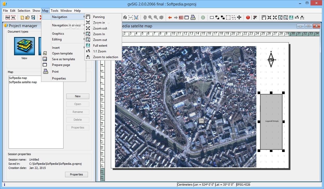
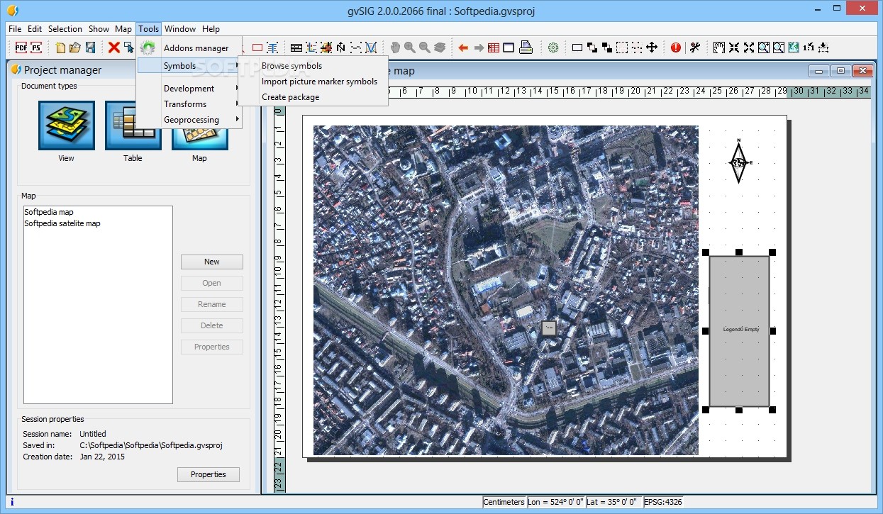
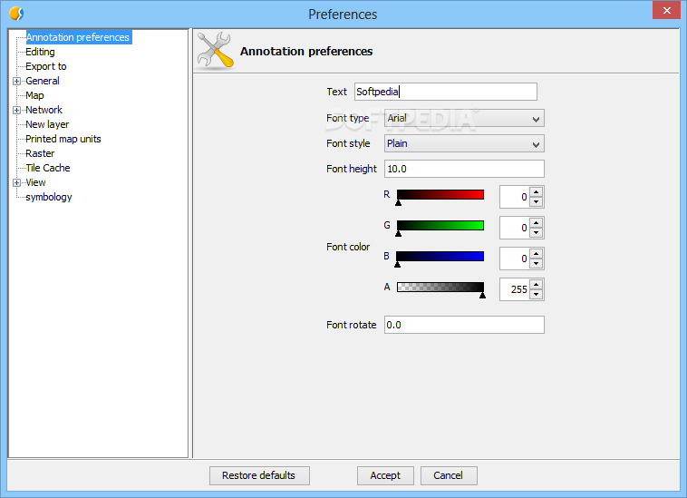
With gvSIG, you get a bunch of cool tools at your fingertips. Whether you need query tools to dig into data or layout creation tools to make your maps look sharp, it's all there. It even includes geoprocessing features and network analysis options! That's why it's perfect for anyone working in land management or planning.
Why Choose gvSIG?
If you're looking for a reliable GIS tool that won't leave you scratching your head, gvSIG is the way to go. Plus, since it supports various formats and offers extensive functionalities, it can adapt to whatever project you throw its way!
Download gvSIG Today!
If you're ready to take your geographic information projects to the next level, don't wait any longer! You can download gvSIG here. Get started on making your maps and data visualization as effective as possible!
User Reviews for gvSIG 8
-
for gvSIG
gvSIG is a powerful GIS desktop software with a user-friendly interface. Ideal for handling and analyzing geographic information efficiently.
-
for gvSIG
gvSIG delivers an all-in-one GIS application that stands up impressively.
-
for gvSIG
gvSIG is an outstanding GIS tool! Its user-friendly interface makes data management a breeze.
-
for gvSIG
I love using gvSIG for my mapping projects. The range of tools available really enhances my workflow!
-
for gvSIG
Amazing app! gvSIG simplifies complex geographic analysis and has all the features I need.
-
for gvSIG
gvSIG has transformed how I handle geographic information. Highly recommend it for any GIS work!
-
for gvSIG
This app is fantastic! The ability to work with both vector and raster formats is a game changer.