

Description
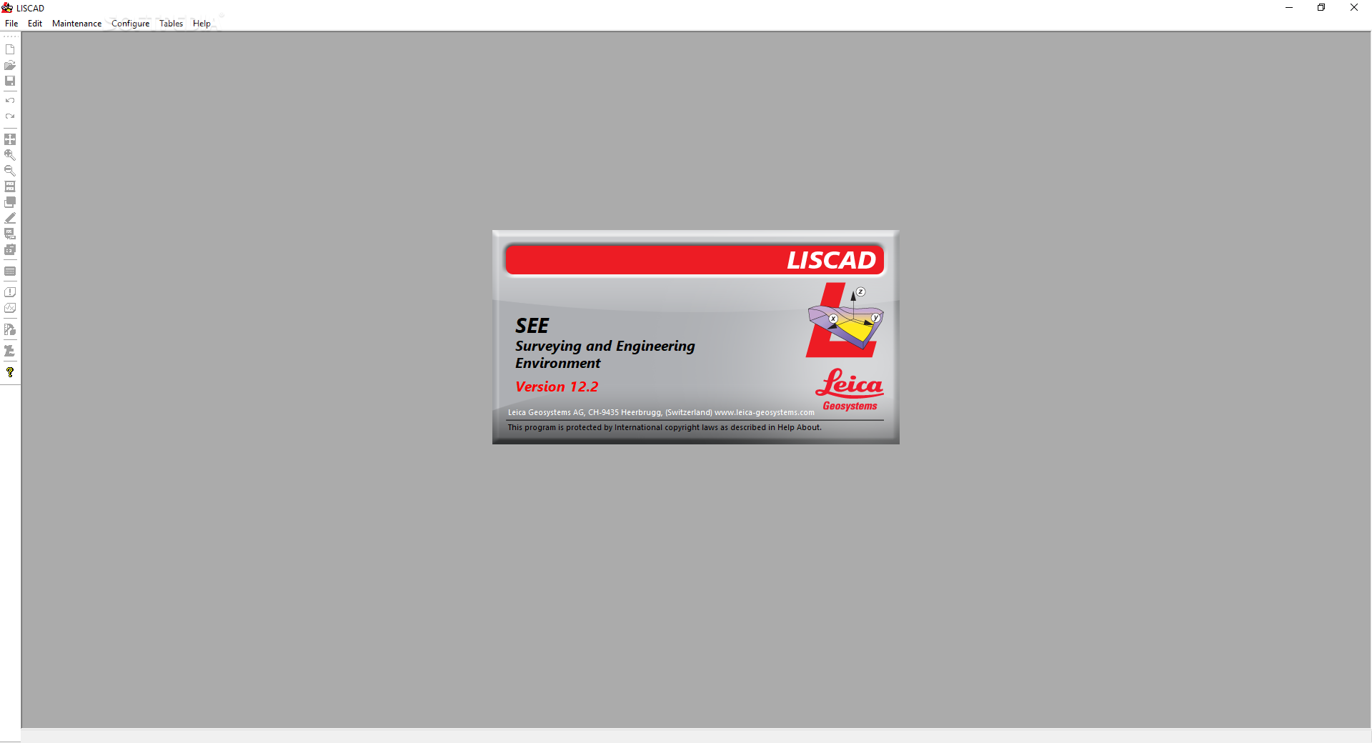
LISCAD
LISCAD is a super handy software that helps landscape engineers visualize, edit, and process data from land survey devices. It lets users handle information in whatever way they need, making their job a lot easier!
Easy Installation and Setup
Getting started with LISCAD is a breeze. After a quick installation, you just launch the program and enter your account details. If you don’t have an account yet, no worries! You can easily register an account before diving into all the cool features.
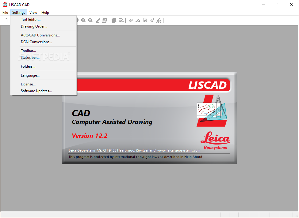
Main Components of LISCAD
This software has three main parts: ‘LISCAD S.E.E.’, ‘LISCAD C.A.D’, and ‘LISCAD Resource Editor’. Each part comes with different modules to help civil engineers tackle various tasks smoothly.
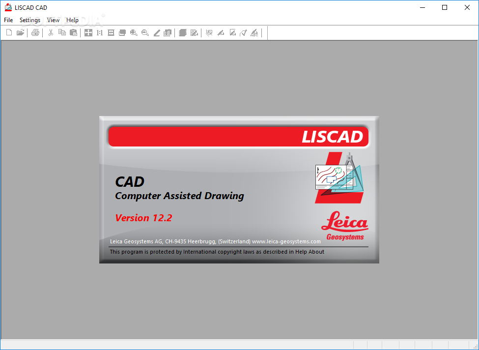
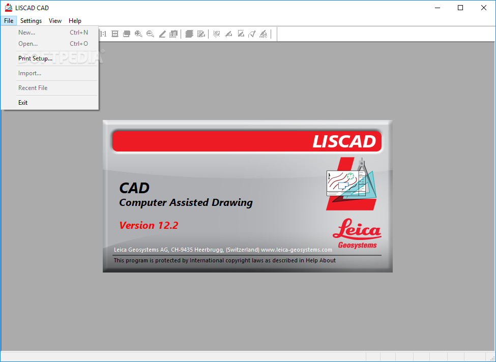
Create Maps with LISCAD C.A.D
The ‘LISCAD C.A.D’ component is perfect for drawing maps and survey plans right on your computer. Plus, it even supports DGN formats from AutoCAD and MicroStation. How cool is that?
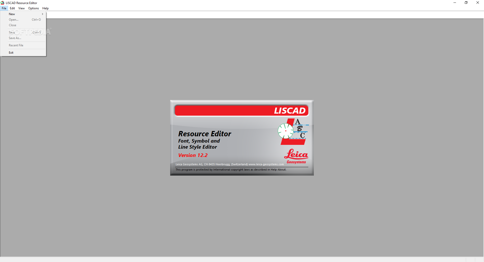
Customize with LISCAD Resource Editor
If you want to design or customize resources like symbols, lines, or font libraries, the ‘LISCAD Resource Editor’ has got your back. All these resources work great with ‘LISCAD C.A.D’!
Tools in LISCAD S.E.E.
With ‘LISCAD S.E.E.’, you get access to many tools for various tasks. You can do everything from utilities and field transfers to computations and terrain modeling. This makes it perfect for all kinds of analysis!
Flexible Modules for Your Needs
The modules in LISCAD vary in what they can do. This means you can pick and choose which ones to get based on what you need at any given time.
A Comprehensive Tool for Survey Specialists
Overall, LISCAD is a powerful application designed to give land survey specialists all the tools they need for collecting, compiling, and using data effectively when creating geographical maps or plans. Want to check it out? You can download LISCAD here!
User Reviews for LISCAD 7
-
for LISCAD
LISCAD provides landscape engineers with powerful tools for data visualization and editing. Its modules cater to various tasks efficiently.
-
for LISCAD
LISCAD is an outstanding tool for landscape engineers! Its intuitive interface and robust features make data processing a breeze.
-
for LISCAD
I've been using LISCAD for my surveying projects, and it's incredibly efficient. The CAD integration is seamless!
-
for LISCAD
Absolutely love LISCAD! The various modules cater perfectly to my needs, and the 3D modeling capabilities are fantastic.
-
for LISCAD
LISCAD has transformed the way I handle survey data. It's reliable, easy to use, and provides all the tools I need.
-
for LISCAD
This app is a game changer for landscape engineering! The installation was quick, and the features are top-notch.
-
for LISCAD
LISCAD is simply amazing! It offers everything from terrain modeling to data conversion in one comprehensive package.