
Description
MetOcean Viewer
MetOcean Viewer is a handy tool that helps you grab and visualize data from NOAA and USGS stations across the U.S. If you’re looking to get your hands on all sorts of research data easily, this app is definitely worth checking out!
Accessing Public Data
Scientific agencies like NOAA and USGS share a ton of free data from their research stations. This info can be super helpful if you have the right tools to download, interpret, and plot it.
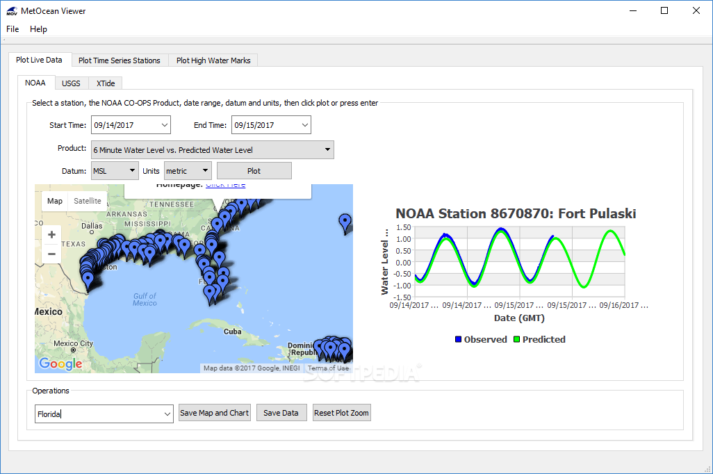
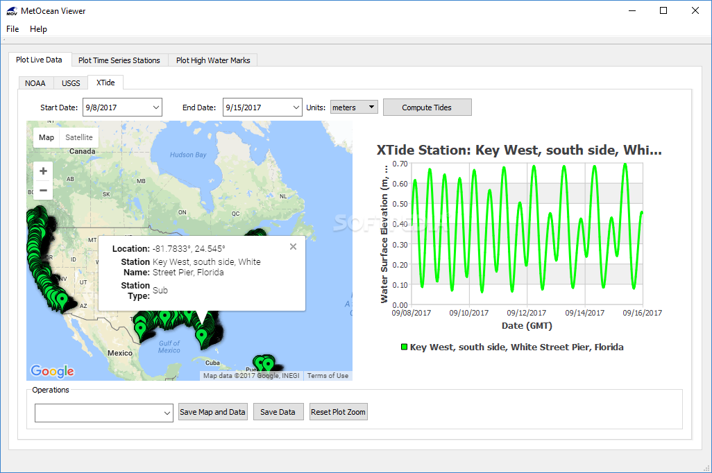
Extract Live Data with Ease
With MetOcean Viewer, you can pull live data from these stations effortlessly. It lets you create tide predictions using XTide, view hydrodynamic modeling files, and even plot high water marks! Plus, you can whip up charts and maps that are ready for export.
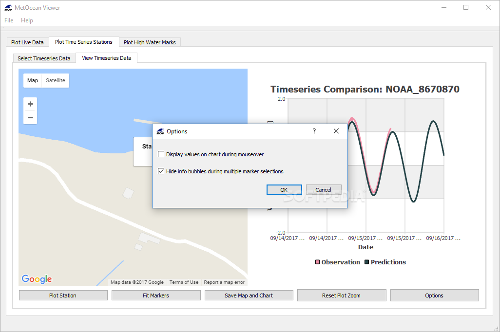
Dive into Your Data
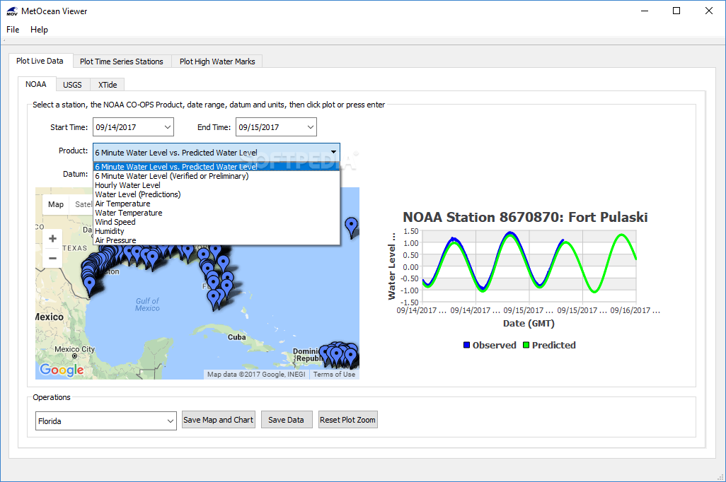
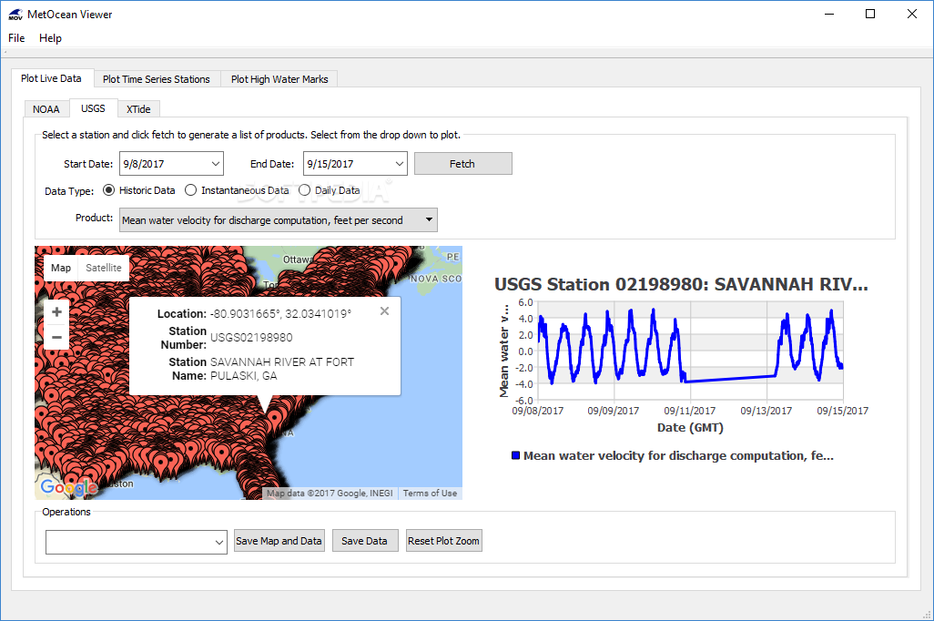
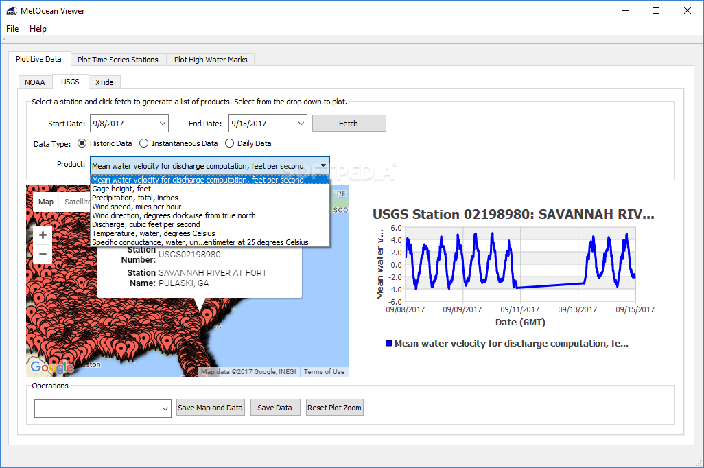
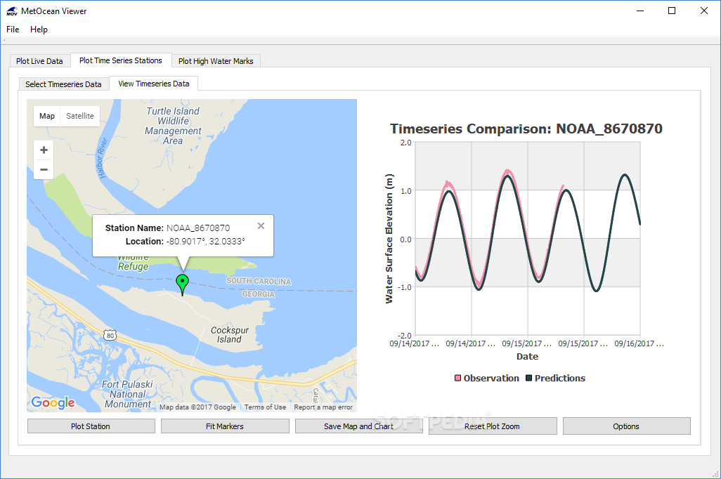
This app gives you the power to pick any station in the U.S. and gather various types of information like water levels, air temperature, water temperature, wind speed, humidity, discharge, gage height—you name it! Once you've got your data downloaded, MetOcean Viewer can generate graphs that show how things change over time.
Create Charts and Maps
You can save your charts as image files along with maps for easy reference. If you're into tide predictions, just select a station and set your start and end dates—it's that simple!
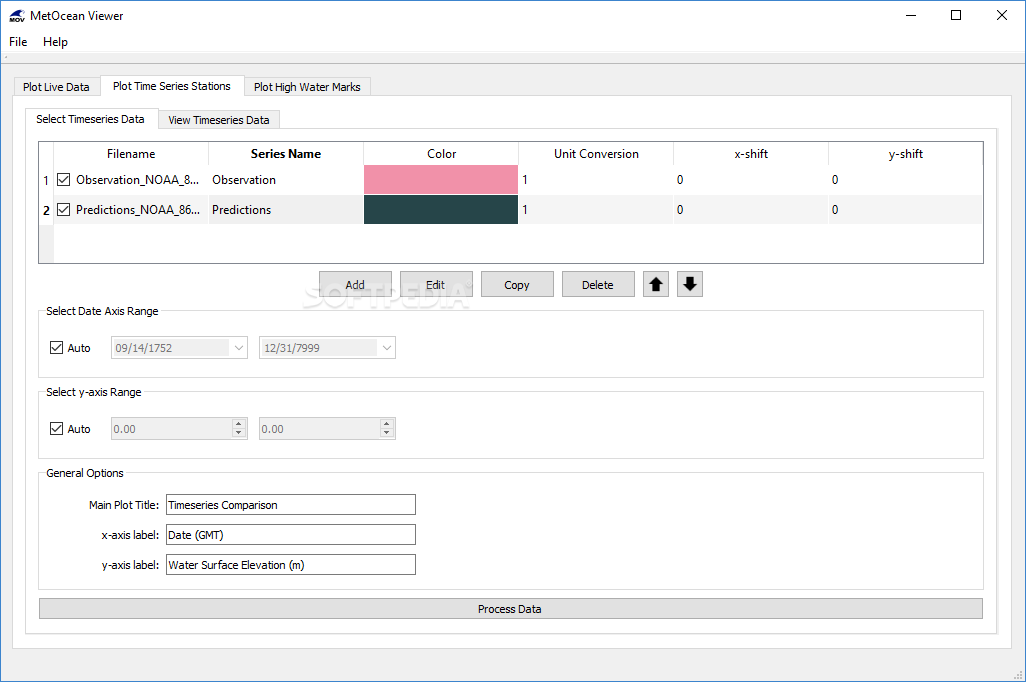
Analyze Multiple Data Sources
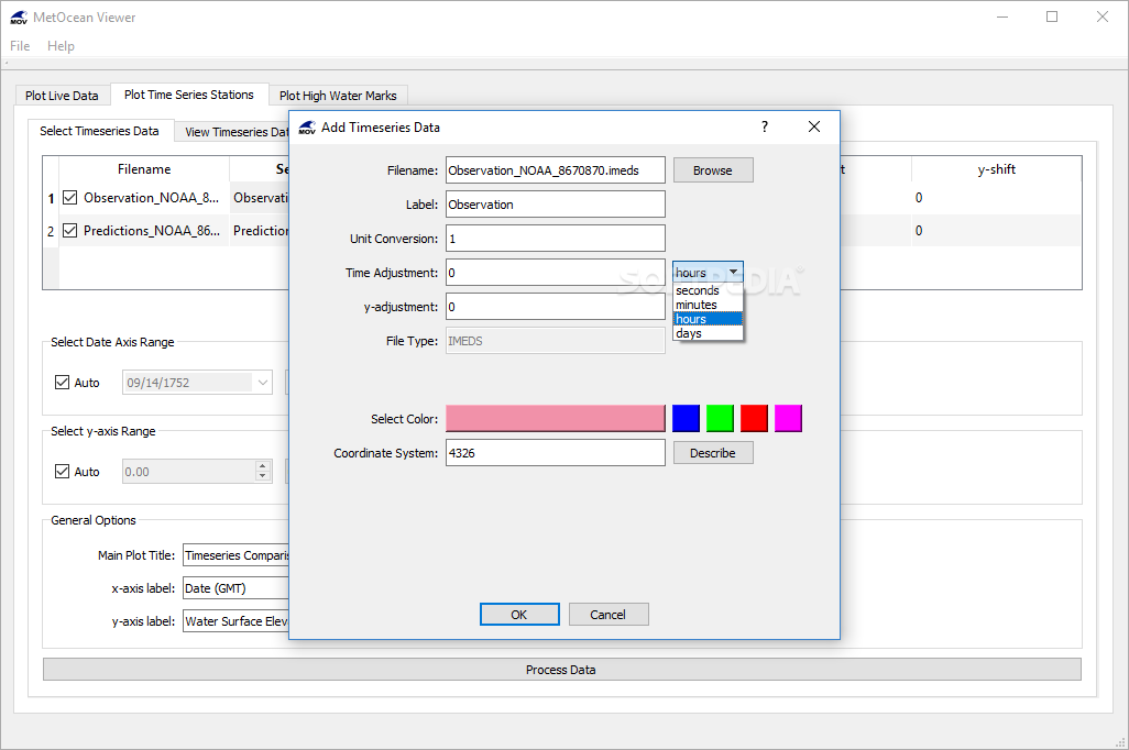
The app isn't just limited to NOAA or USGS; it can also read ARCIRD, IMEDS, and NetCDF files. You can load data from various sources and customize each series with names and colors.
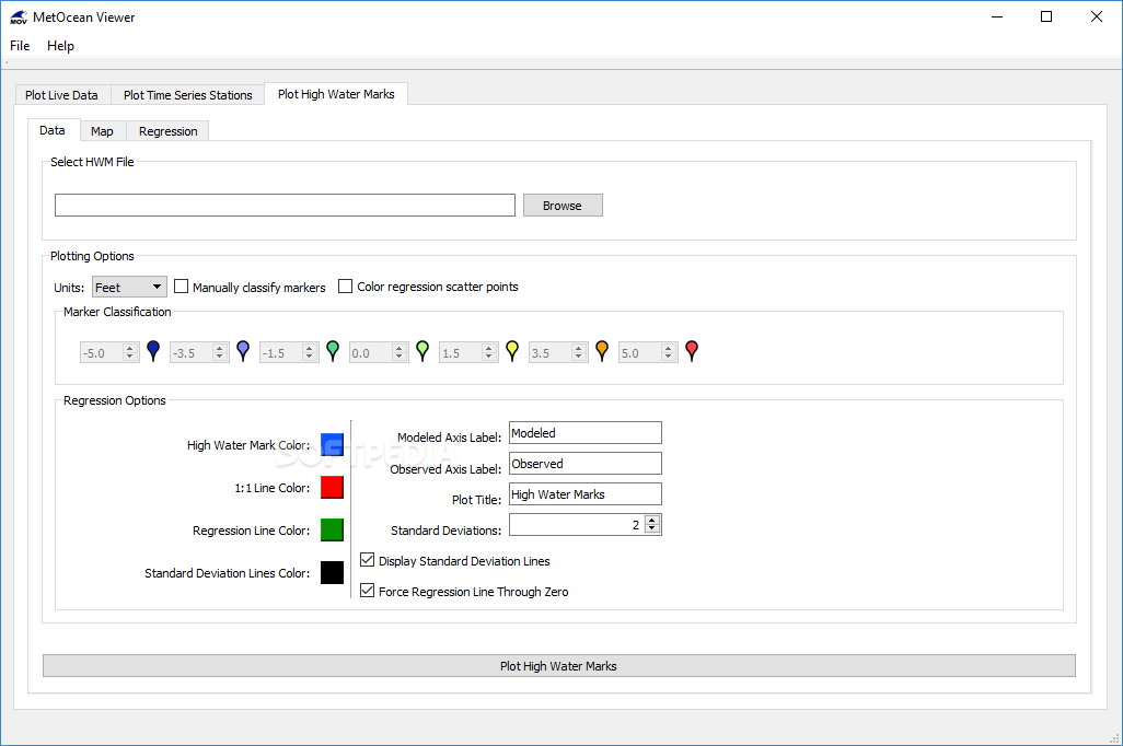
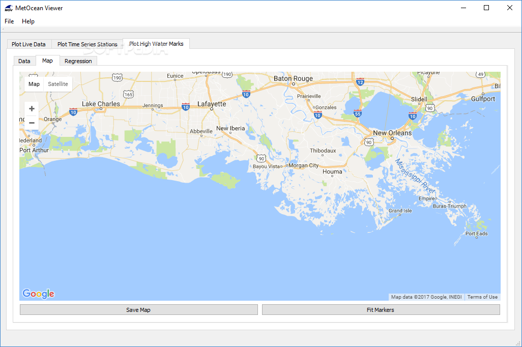
Visualize High Water Marks
If you've got high water mark data in a file, MetOcean Viewer helps create maps and scatter plots that make everything clearer. And yes! You can export those visual aids too.
A Great Tool for Everyone!
All in all, MetOcean Viewer is super useful for gathering and plotting hydrological data. It’s user-friendly with an impressive range of features. A little user guide would be a nice touch for those who are still getting used to it!
User Reviews for MetOcean Viewer 8
-
for MetOcean Viewer
MetOcean Viewer is a versatile app for accessing live data from NOAA and USGS stations. It helps plot various parameters effortlessly.
-
for MetOcean Viewer
MetOcean Viewer provides efficient oceanographic data analysis. UI is user-friendly, with some minor navigational issues.
-
for MetOcean Viewer
MetOcean Viewer is fantastic! It makes accessing and visualizing hydrological data so easy. Highly recommend!
-
for MetOcean Viewer
This app is a game-changer for analyzing NOAA and USGS data. The plotting features are top-notch!
-
for MetOcean Viewer
I love how user-friendly MetOcean Viewer is! It’s packed with features for anyone working with water data.
-
for MetOcean Viewer
MetOcean Viewer has exceeded my expectations! The ability to visualize complex data simply is amazing.
-
for MetOcean Viewer
This app is incredibly useful for gathering environmental data. The graphs and maps are easy to export!