
Description
MicroDEM
MicroDEM is a fantastic app that helps you work with maps and satellite images. It makes it super easy to view, analyze, and even merge different maps. The user-friendly interface allows you to handle multiple map files and databases without any hassle.
Why Use MicroDEM?
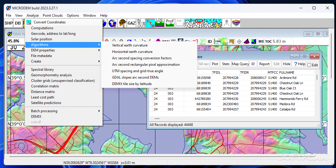
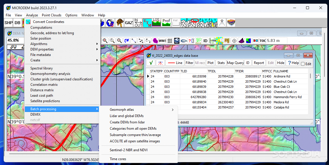
If you're into map-making or need to process satellite imagery, you'll love using this program. It's designed for those who need a dedicated tool for analyzing and manipulating data. GIS applications like this one are perfect for merging and editing various file types!
Load Multiple Map Files
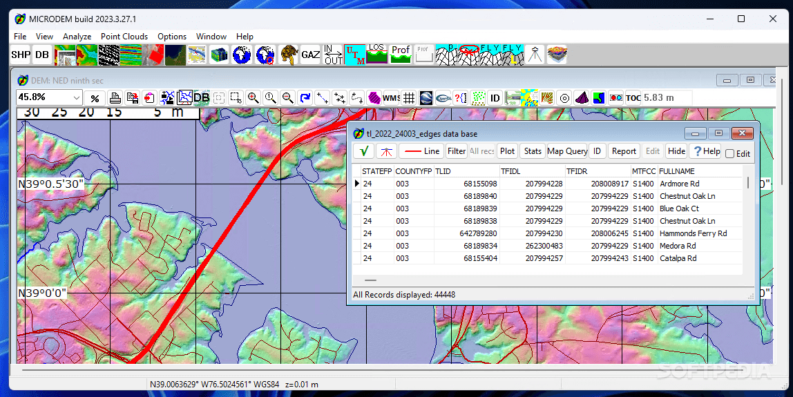
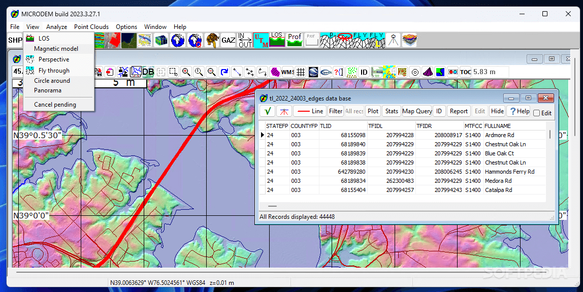
This software lets you load lots of different map files into your project. It can handle DEM files, vector maps, and popular image formats like JPG, PNG, BMP, GeoTIFF, plus other geographic datasets!
Add Layers for Complete Maps
If you want to make a complete map, you'll need to add multiple layers of data. This includes landmarks, buildings, trees, and more! With MicroDEM, you can adjust the datum of each image file so all your layers line up perfectly.
Weather Maps & Measurement Tools
You can even download weather maps to use as overlays in your projects! Plus, it comes with handy measurement tools that let you check distances or areas easily and convert geographical coordinates.
User-Friendly for Experienced Users
A heads-up: GIS tools aren't usually made for beginners. MicroDEM has tons of advanced features and detailed documentation which might feel overwhelming if you're just starting out with simple mapping.
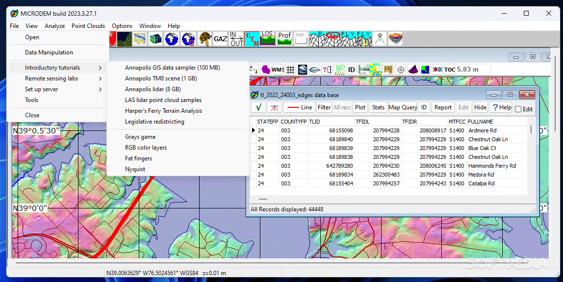
Tutorials & Documentation Available
The good news is that when you first start the program, there’s downloadable documentation available that has references and step-by-step instructions. You’ll also find GIS courses included! Plus there are tutorials on common tasks like comparing DEM files or working with GPS tracks.
Perfect for GIS Pros!
If you've got some experience with GIS applications under your belt, then MicroDEM is definitely worth checking out for all your mapping needs!
User Reviews for MICRODEM 8
-
for MICRODEM
MicroDEM is a robust tool for GIS specialists to analyze and merge map files effortlessly. Advanced features require prior experience to utilize efficiently.
-
for MICRODEM
MICRODEM offers impressive mapping capabilities although the user interface could be more intuitive.
-
for MICRODEM
MicroDEM is an exceptional tool for anyone serious about GIS. Its features for merging maps are top-notch!
-
for MICRODEM
As a geospatial analyst, I find MicroDEM incredibly powerful. The interface is user-friendly and efficient.
-
for MICRODEM
I love using MicroDEM! It's packed with advanced tools, and the detailed documentation really helps beginners.
-
for MICRODEM
MicroDEM has transformed my mapping projects. The ability to load multiple data layers is a game changer!
-
for MICRODEM
This app is fantastic! If you know GIS, you'll appreciate how well MicroDEM handles complex data analysis.