

Description
MSatView
MSatView is a super handy program that helps you see and analyze meteorological satellite images. It works with data from Meteosat Second Generation (MSG3 and Meteosat 10) geostationary meteorological satellites.
Features of MSatView
This app has a good set of features and comes with lots of documentation. But keep in mind, it's still developing, so you might run into a few bugs here and there.
Who Can Use MSatView?
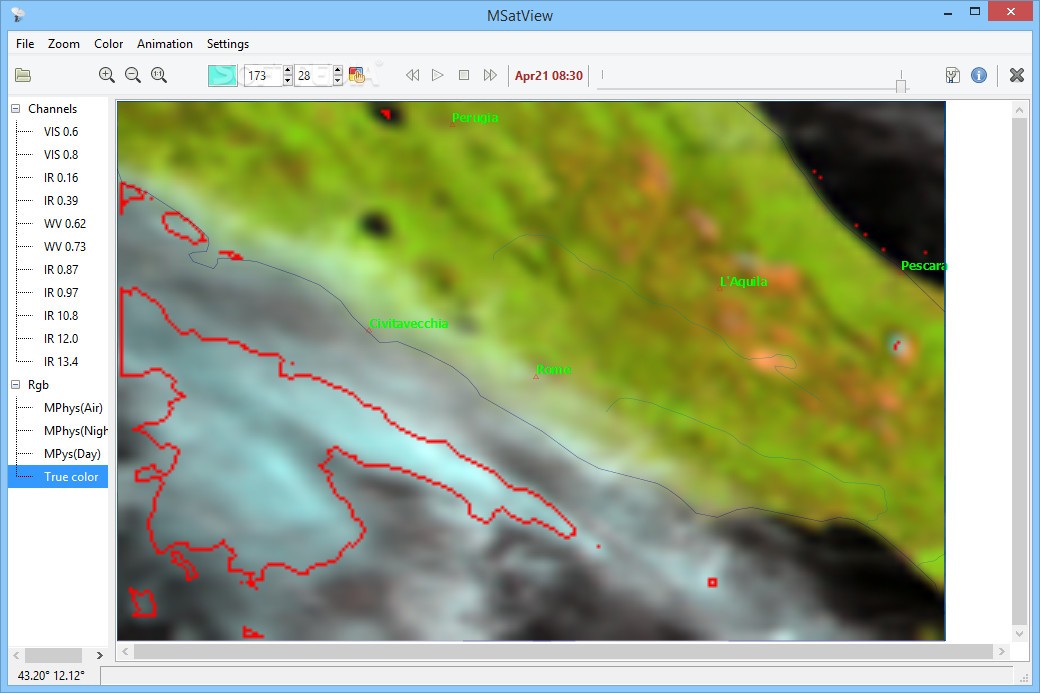
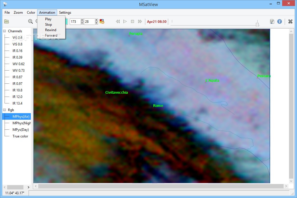
If you're a meteorologist looking to dive into data from MSG3 or Meteosat 10 satellites, this tool is perfect for you! It lets you view all 11 channels in both the IR and visible spectrum, supporting a maximum spatial resolution of 3 km.
Creating Visuals with MSatView
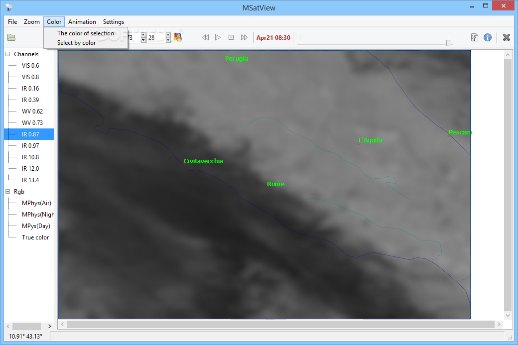
You can also make cool pseudocolor images, mix raster files with different vector layers to create maps, and even generate animations from a series of images or pseudocolor layers.
Getting Started with Data
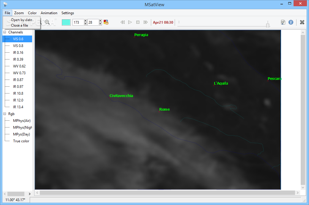
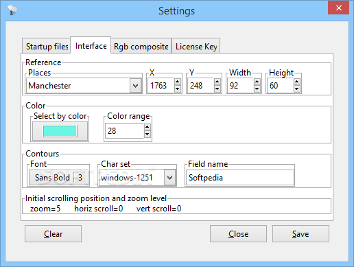
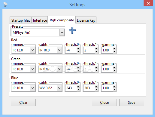
To start adding data, just head to the Startup files tab in the Settings menu. When you launch the program, it will import your chosen images and contour files so you can check out the generated map right away.
Analyzing Satellite Data
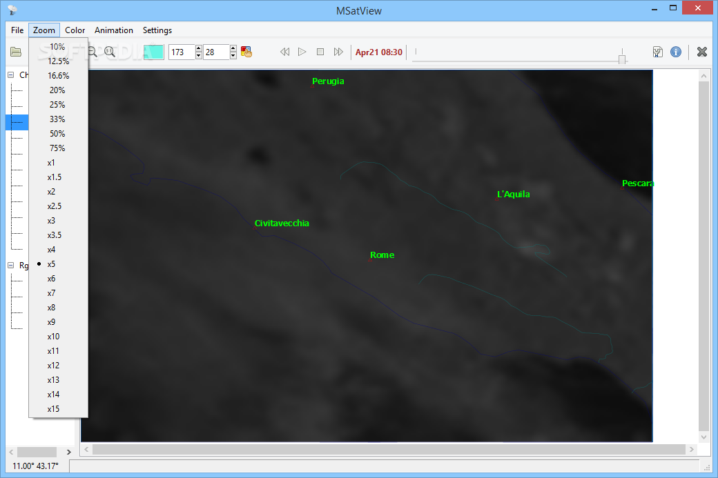
Once your satellite data is loaded up, you can easily switch between different layers, zoom in or out, and even select regions with similar colors. This makes it easy to highlight storms or other weather phenomena!
User Manual & Stability Issues
The nice part is that even though MSatView targets specialists, it provides an extensive user manual for help. However, we did notice some stability issues during testing; sometimes it crashed when switching between WV and IR layers or when closing files.
The Bottom Line on MSatView
Overall, MSatView is a great tool for anyone needing to process and analyze meteorological data from Meteosat Second Generation satellites. It has plenty of useful features along with solid documentation. Plus, any remaining bugs are likely to be fixed in future updates!
User Reviews for MSatView 8
-
for MSatView
MSatView provides valuable tools for meteorologists to analyze satellite data, although it may have occasional bugs. Extensive documentation is a plus.
-
for MSatView
MSatView provides intuitive navigation, satellite tracking info, and clean UI. A few glitches but overall a solid app.
-
for MSatView
MSatView is an impressive tool for meteorologists! The visualization of satellite images is top-notch.
-
for MSatView
Absolutely love MSatView! It offers great features for analyzing weather data from satellites!
-
for MSatView
As a meteorologist, MSatView has been incredibly useful for my work. Highly recommend it!
-
for MSatView
Fantastic app for visualizing meteorological data! The features are robust and well-documented.
-
for MSatView
MSatView is a game changer for satellite data analysis. The user manual makes everything easy to understand!