

Description
Oasis Montaj Viewer Edition: Comprehensive Geosoft File Viewer for Advanced Geographical Analysis
Analyzing geographical data can be challenging when you need to navigate through multiple views, charts, and maps to reach meaningful conclusions. Geosoft files have become the go-to storage format for advanced geographical information, containing detailed maps, analytical charts, and comprehensive data tables. To effectively access and utilize this wealth of information, you need a specialized tool like Oasis Montaj Viewer Edition to download.
Powerful Geosoft File Viewer with Comprehensive Analysis Tools
Oasis Montaj Viewer Edition is a sophisticated geographical data viewer designed specifically for opening, visualizing, and analyzing Geosoft files with precision and ease. This powerful software solution gives you instant access to complex geographical information stored in various Geosoft formats, making your analysis workflow smoother and more efficient.
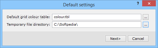
Before you download Oasis Montaj Viewer Edition, note that the application requires Internet Explorer and .Net Framework as prerequisites on your system. Once installed, you'll have a complete toolkit for geographical data interpretation at your fingertips.

Key Features and Capabilities
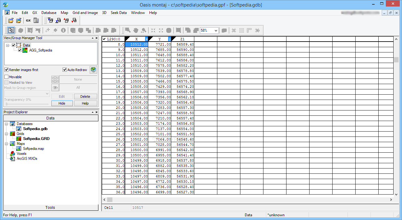
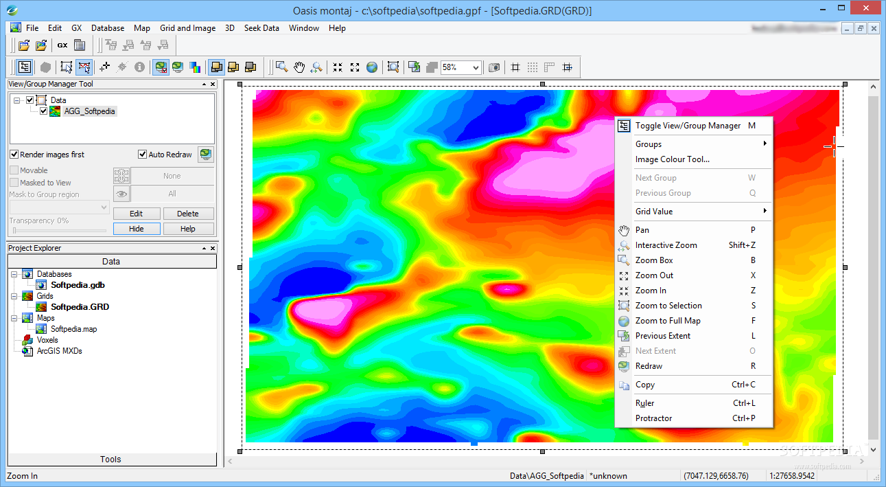
The Oasis Montaj Viewer provides users with a comprehensive set of features for geographical data analysis. When you download this powerful viewer, you'll gain access to coordinate databases, altitude spectral analysis grids, and thermal maps that offer clear insights into any location's geographical characteristics.
Advanced Visualization Tools
- Interactive 3D visualization of terrain models
- Multi-layer map display capabilities
- Color-coded altitude and thermal mapping
- Customizable viewing parameters
- High-resolution data rendering
Data Analysis Capabilities
- Comparative analysis between historical and current geographical data
- Overlay functionality for multiple data sets
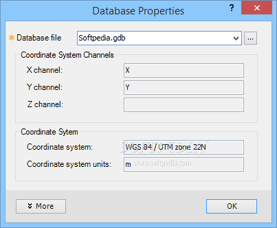
- Detailed coordinate system management
- Statistical analysis of geographical trends
- Profile and cross-section creation
The ability to compare geographical changes over time is particularly valuable. After you download the viewer, you can easily overlay an older altitude spectral analysis grid with newer data, allowing you to identify and evaluate geographical transformations with exceptional clarity.

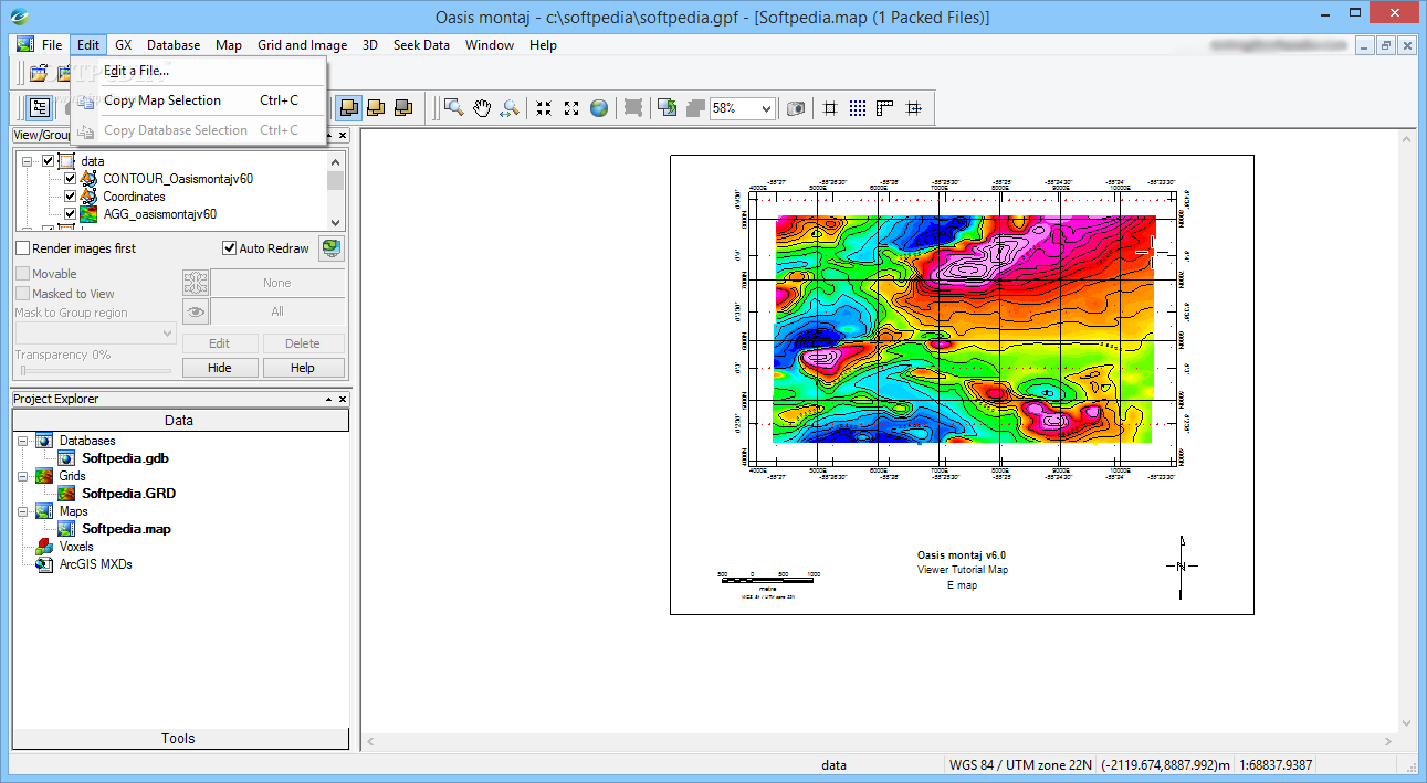
Create and Update Custom Geographical Maps
Oasis Montaj Viewer Edition goes beyond simple viewing capabilities. The software enables you to create entirely new maps based on imported database information. This powerful feature allows you to document previously uncharted geographical areas by utilizing global coordinates and spectral codes to generate comprehensive altitude grids.
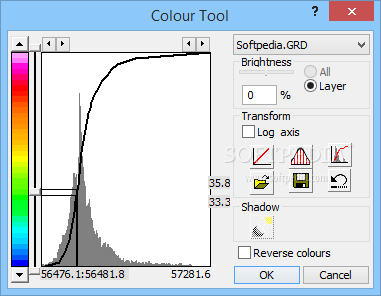
When you download Oasis Montaj Viewer, you gain the ability to update existing maps and databases with fresh information. The software's recoloring functions let you apply the latest geographical data to enhance visualization and analysis accuracy.
Technical Specifications
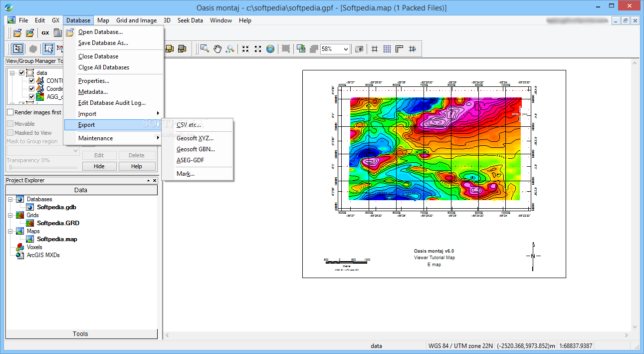
- Supported File Formats: GDB, GRD, MAP, PLY, and other Geosoft formats
- System Requirements: Windows 7/8/10/11, Internet Explorer, .Net Framework
- Memory Usage: Minimum 4GB RAM recommended (8GB+ for larger datasets)
- Disk Space: 500MB for installation
- Display: 1280x1024 resolution or higher recommended
- Additional Requirements: Compatible with standard GIS databases
Applications Across Industries
The geographical data viewer finds applications across numerous fields where terrain analysis and geographical information are crucial:
Mining and Exploration
For mining professionals, the ability to download and use Oasis Montaj Viewer provides essential insights into mineral deposits, terrain composition, and exploration planning. The software's spectral analysis capabilities help identify promising locations for further investigation.
Environmental Assessment
Environmental scientists can utilize the geographical viewer to monitor changes in landscapes, assess impact areas, and create comprehensive reports on geographical transformations. The comparative analysis features are particularly valuable in this context.
Urban Planning and Development
Urban planners benefit from the detailed altitude grids and thermal mapping when planning new developments. The ability to overlay multiple data types provides a comprehensive view of geographical considerations for construction and infrastructure projects.

Conclusion: Essential Tool for Geographical Data Analysis
Oasis Montaj Viewer Edition stands as an indispensable tool for anyone working with Geosoft files and geographical data analysis. When you download this powerful viewer, you gain the ability to examine and interpret maps, databases, and grids contained within Geosoft files with exceptional clarity and precision.
The software's combination of viewing, analysis, and creation tools makes it a complete solution for geographical data interpretation. Whether you're studying terrain changes, analyzing altitude patterns, or creating new geographical references, Oasis Montaj Viewer Edition provides the comprehensive functionality you need to reach accurate conclusions about any location's characteristics.
```
User Reviews for Oasis Montaj Viewer Edition 7
-
for Oasis Montaj Viewer Edition
Oasis Montaj Viewer Edition simplifies geographical data analysis by offering advanced maps, charts, and analysis tables stored in Geosoft files. A convenient tool!
-
for Oasis Montaj Viewer Edition
Oasis Montaj Viewer Edition is a game changer! Analyzing geographical data has never been easier. Highly recommend!
-
for Oasis Montaj Viewer Edition
This app is fantastic for visualizing Geosoft files! The features are intuitive and user-friendly. Five stars!
-
for Oasis Montaj Viewer Edition
Absolutely love this app! It simplifies complex geographical data analysis with ease. Truly a must-have tool!
-
for Oasis Montaj Viewer Edition
The Oasis Montaj Viewer Edition exceeded my expectations! It's powerful and makes map creation so straightforward.
-
for Oasis Montaj Viewer Edition
Incredible software for viewing Geosoft files! The overlay feature is particularly impressive for analysis.
-
for Oasis Montaj Viewer Edition
I can't believe how easy it is to analyze geographical changes with this app. Oasis Montaj Viewer is top-notch!