
Description
OSSIM Download - High Performance Remote Sensing Software
OSSIM (Open Source Software Image Map) represents the pinnacle of remote sensing technology, offering a comprehensive solution for geographical information systems, image processing, and photogrammetry. This powerful software has established itself as an industry leader since its development began in 1996, providing professionals with unmatched capabilities in handling complex geospatial data.
When you download OSSIM, you're gaining access to a robust software system built by experts with decades of experience in commercial and government remote sensing applications. The software's name, cleverly pronounced "awesome," accurately reflects its impressive capabilities and performance in real-world scenarios.
Advanced Features of OSSIM
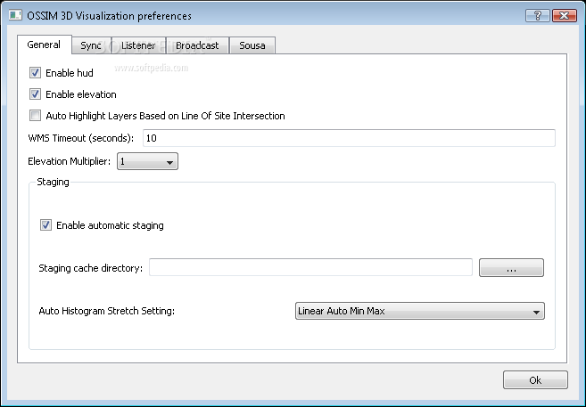
OSSIM download provides users with a sophisticated set of tools designed specifically for remote sensing professionals. The software excels in processing satellite imagery, aerial photography, and other geospatial data with exceptional precision and efficiency. Its comprehensive feature set makes it suitable for both research purposes and operational deployment.
The remote sensing capabilities of OSSIM are built upon high-performance software libraries meticulously crafted in C++. By implementing cutting-edge object-oriented design principles, the developers have created a system that maximizes both performance and flexibility.
Practical Applications
When you download and install OSSIM, you'll discover a wide range of practical applications across various fields. The software is currently deployed in numerous research facilities and operational sites, particularly within intelligence and defense communities. Its versatility makes it valuable for environmental monitoring, urban planning, disaster response, and military intelligence gathering.
The remote sensing tools included in OSSIM allow users to analyze geographical data with unprecedented detail and accuracy. From terrain mapping to change detection, the software handles complex geospatial tasks with remarkable efficiency.
Development Background
OSSIM's development has been substantially supported by several US government agencies within the intelligence and defense sectors. This backing has enabled continuous improvement and refinement of the software's capabilities, ensuring it meets the rigorous demands of professional remote sensing applications.
The lead developers behind OSSIM bring valuable expertise from years of work in commercial and government remote sensing systems. Their experience has been instrumental in creating a software solution that addresses real-world challenges in the geospatial industry.
Open Source Advantage
As an open source project, OSSIM offers unique advantages compared to proprietary geospatial software. The transparency of its code allows for community-driven improvements, customizations, and extensions. This collaborative approach has contributed significantly to OSSIM's evolution into a sophisticated remote sensing platform.
The open source nature of OSSIM also makes it an accessible option for organizations with budget constraints. You can download OSSIM without licensing fees, making advanced remote sensing capabilities available to a wider range of users and institutions.
Technical Specifications
- Programming Language: Written in C++ with object-oriented design
- Architecture: Series of high-performance software libraries
- Development History: Active development since 1996
- Interface Options: Command line utilities, GUI tools, and integrated applications
- Primary Functions: Remote sensing, geographical information systems, image processing, photogrammetry
- Deployment: Operational in research and defense sites
- Distribution: Free to download under open source licensing
Included Tools and Applications
The OSSIM download package includes numerous command line utilities and GUI applications that leverage the core libraries. These tools enable users to perform specific geospatial tasks without needing to develop custom applications, though the underlying architecture also supports the creation of specialized solutions.
From basic image viewers to sophisticated analysis tools, the included applications demonstrate the versatility of the OSSIM framework. Many of these tools have been developed to address particular remote sensing challenges encountered in professional settings.
System Requirements
To effectively run OSSIM after download, users should have a computer system capable of handling intensive geospatial processing tasks. The software is designed to make efficient use of available resources, but complex operations involving large datasets will benefit from additional processing power and memory.
OSSIM has been implemented across various operating systems, making it accessible to users regardless of their preferred computing environment. This cross-platform capability further enhances its utility in diverse organizational settings.
Getting Started with OSSIM
After completing your OSSIM download, comprehensive documentation is available to help you navigate the software's capabilities. New users may want to begin with the included sample applications to understand the core functionality before moving on to more advanced features.
The active community surrounding OSSIM also provides valuable resources for troubleshooting and learning. From forums to tutorials, these community-driven assets complement the official documentation and help users maximize the software's potential.
Experience the power of professional remote sensing technology by downloading OSSIM today. Whether you're a geospatial professional, researcher, or developer, OSSIM offers the tools and performance needed to tackle complex geographical information challenges with precision and efficiency.

```
User Reviews for OSSIM 7
-
for OSSIM
OSSIM is a powerful tool for remote sensing and GIS. Its open-source nature makes it accessible and versatile.
-
for OSSIM
OSSIM is truly amazing! Its performance in remote sensing and image processing is top-notch. Highly recommend!
-
for OSSIM
I've been using OSSIM for a while now, and it's simply the best tool for GIS applications. Five stars all the way!
-
for OSSIM
OSSIM exceeded my expectations! The open-source nature and high performance make it an invaluable resource.
-
for OSSIM
Fantastic software! OSSIM has powerful features that are perfect for photogrammetry and image processing tasks.
-
for OSSIM
OSSIM is a game changer in remote sensing. The tools it offers are incredibly useful and well-designed. Love it!
-
for OSSIM
Absolutely stellar software! OSSIM's capabilities in GIS and image processing are unmatched. Highly recommended!