


Description
Quantum GIS
Quantum GIS is an awesome Geographic Information System (GIS) that makes it super easy to create and explore map data. Whether you want to dive into existing maps or whip up your own, this software has got you covered! It plays nicely with a ton of formats including vectors, rasters, and even GPS data like waypoints.
Explore Various Data Formats
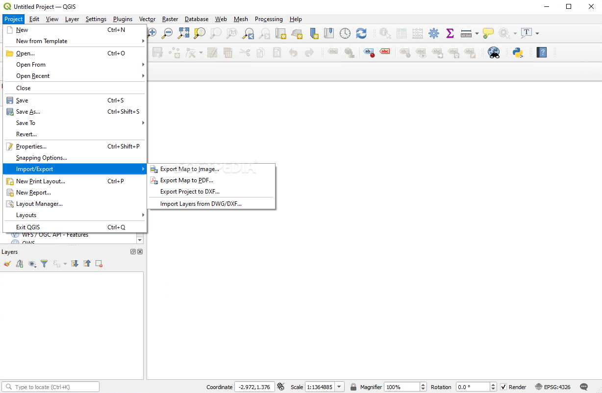
The main goal of Quantum GIS is all about working with different formats and projections of vector and raster data. You can view them directly, map out spatial data, and even explore it interactively. Plus, you can create, edit, and analyze maps to fit your needs thanks to its expandable plugin system.
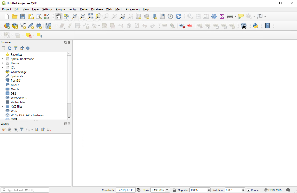
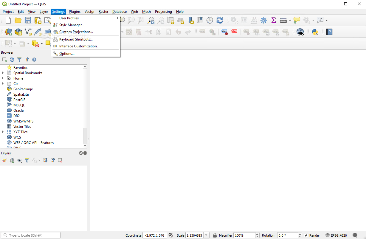
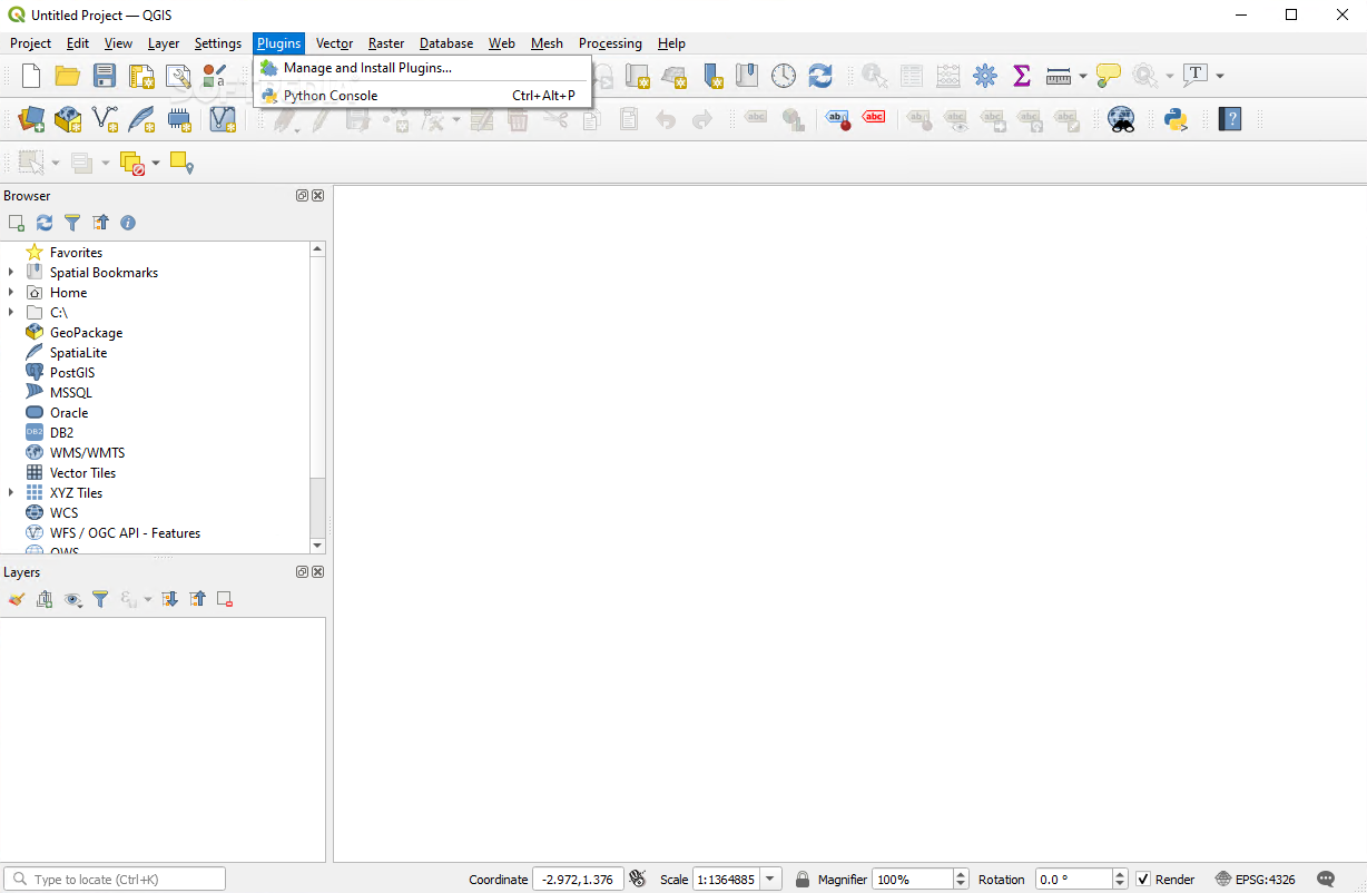
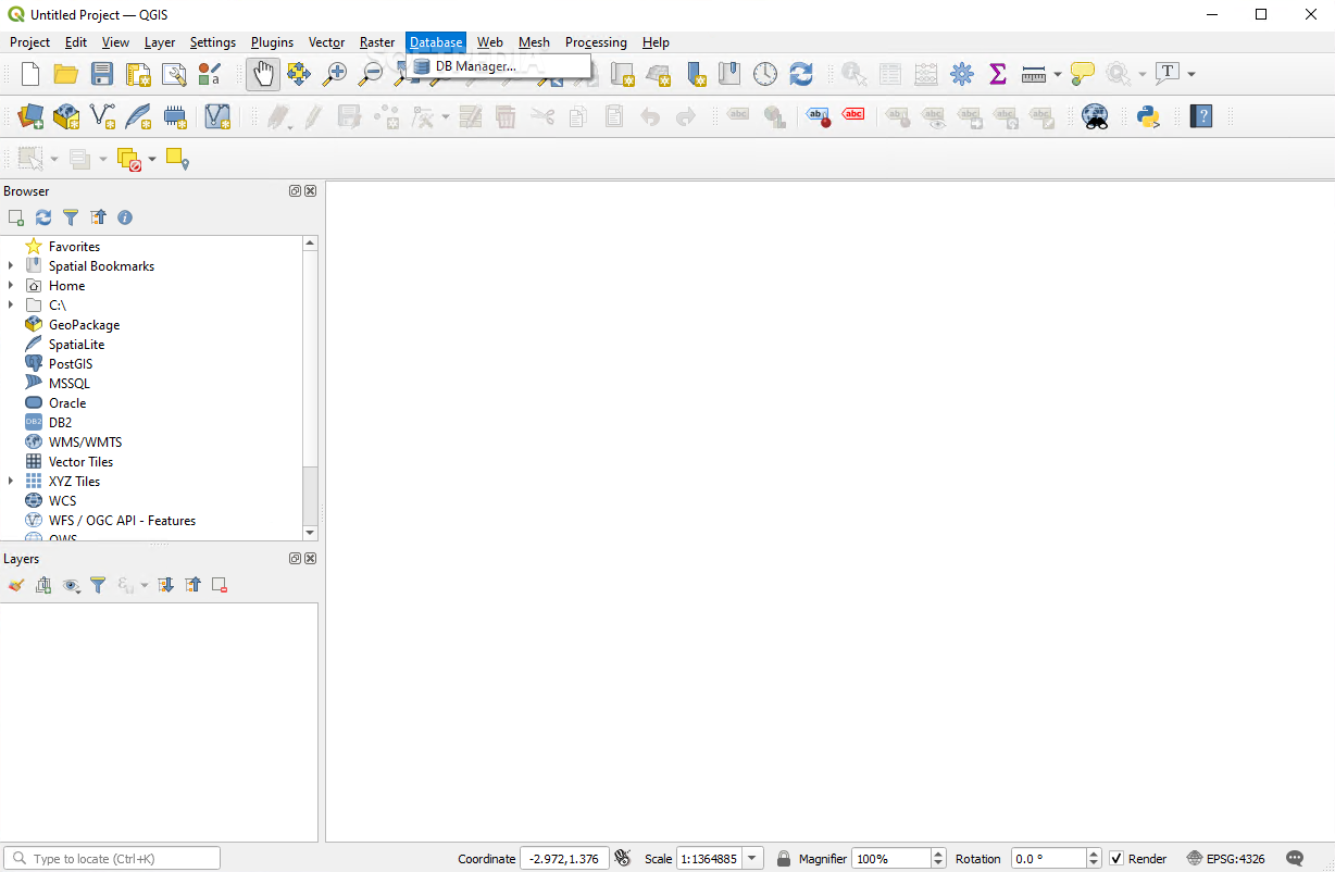
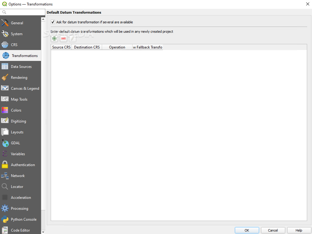
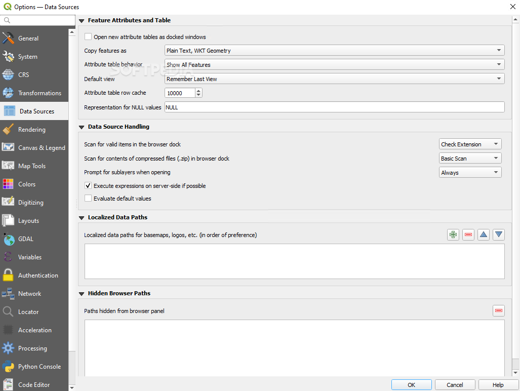
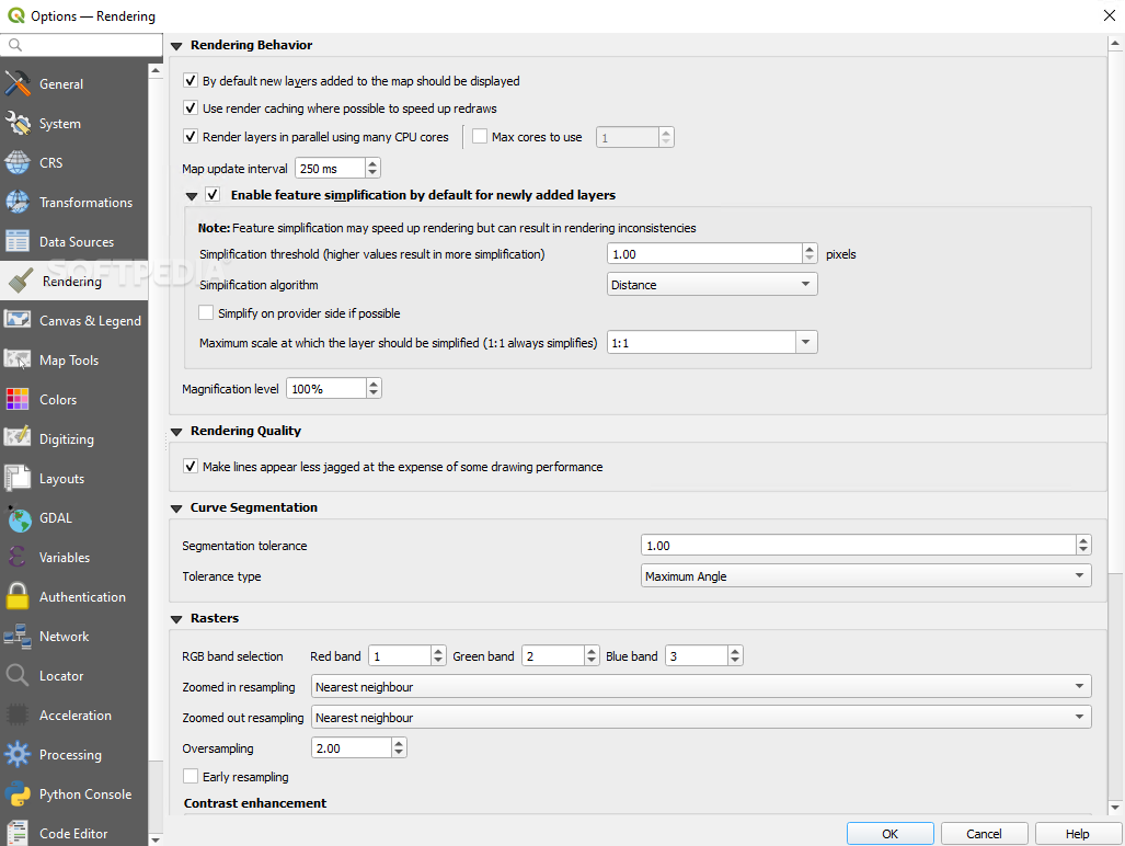
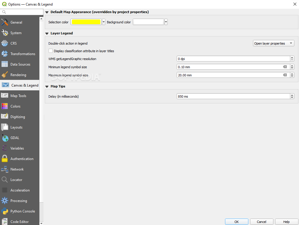
User Interface Overview
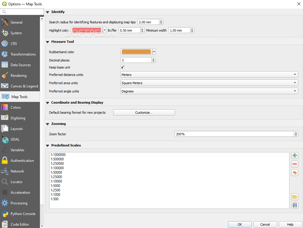
When you first fire up Quantum GIS, the graphic user interface might look a bit busy. While it could be simplified for newbies, that complexity keeps things interesting for more experienced users who are tackling the detailed work involved in handling spatial data. Don’t worry if you're feeling lost—Quantum GIS comes with detailed documentation to guide you through everything!
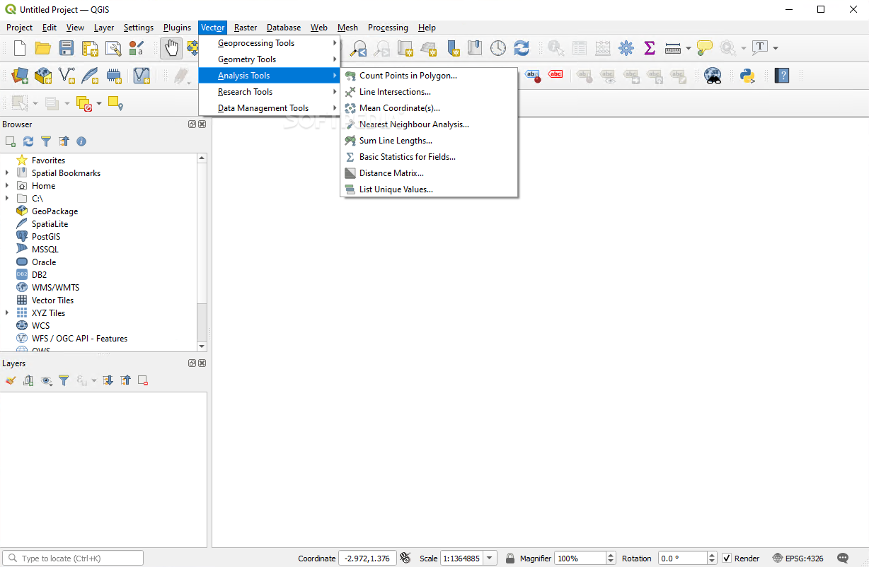
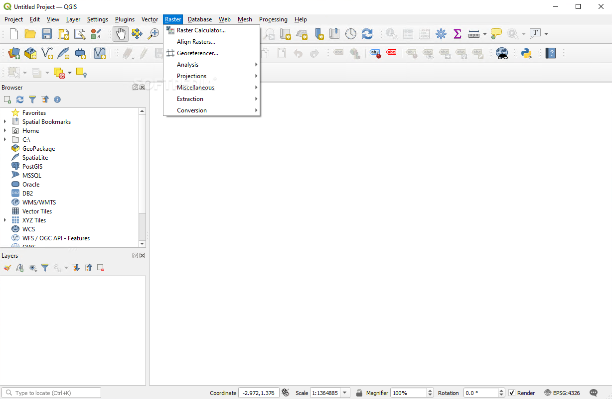
Diving into Tools and Features
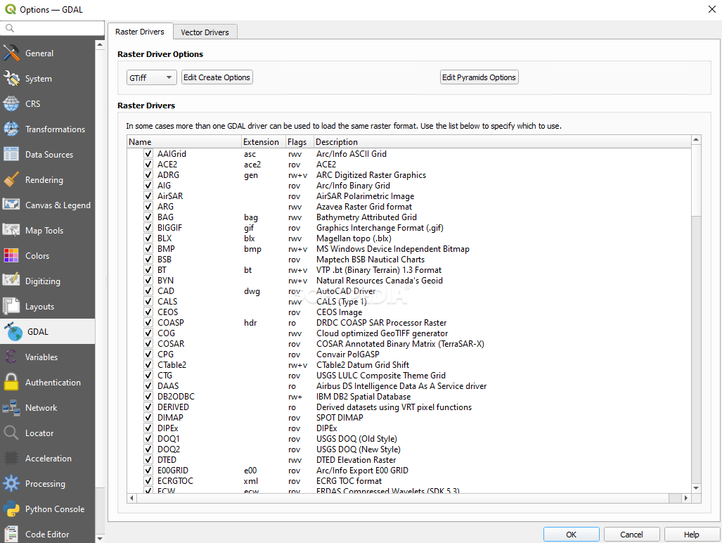
Once you get the hang of it, you'll find a treasure trove of tools at your fingertips. You can work with various formats like PostGIS or SpatiaLite along with nearly all vector and raster formats supported by OGR and GDAL (Geospatial Data Abstraction Library). This includes popular formats like ESRI shapefiles, GML (Geography Markup Language), MapInfo, and SDTS.
Manipulate Your Spatial Data
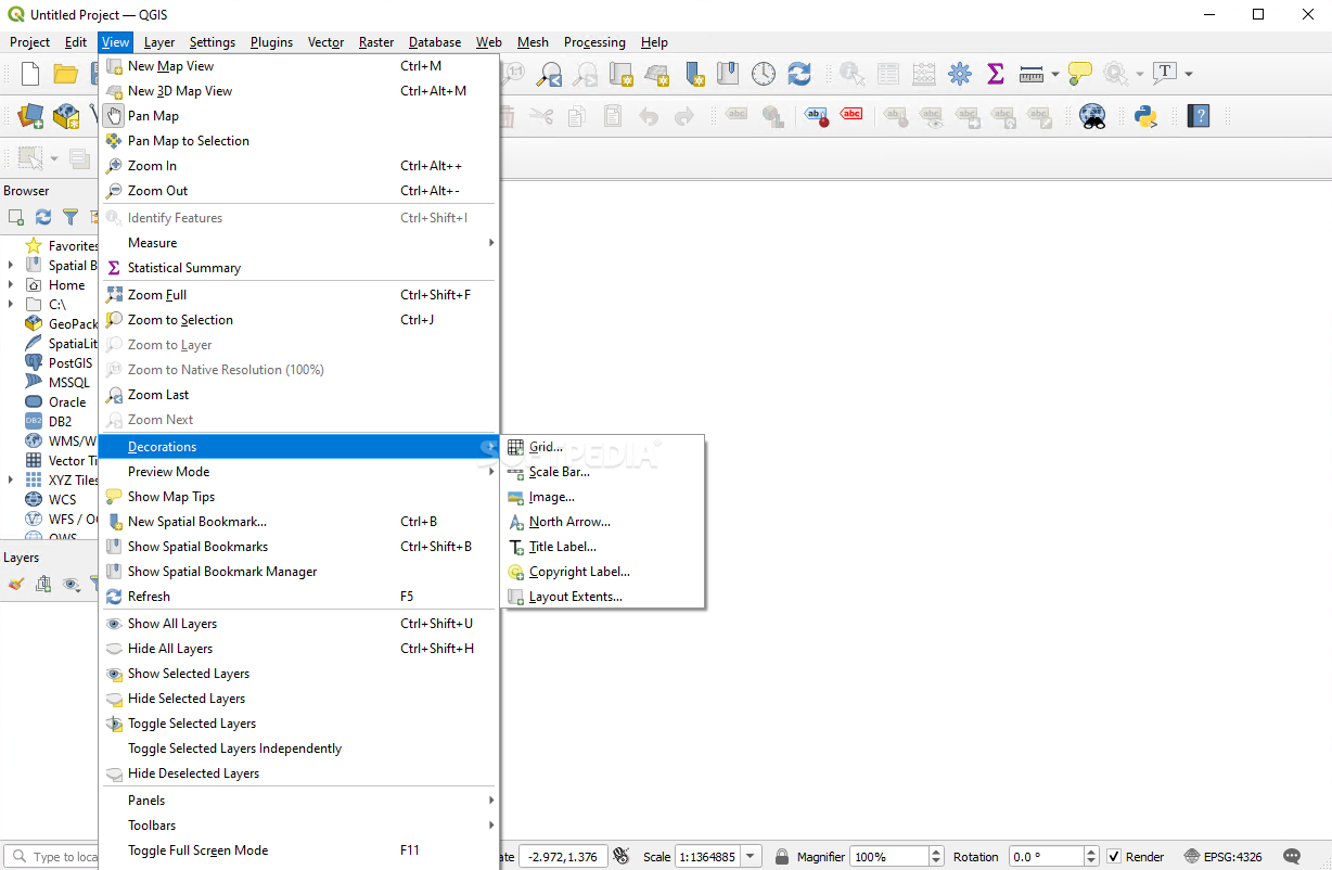
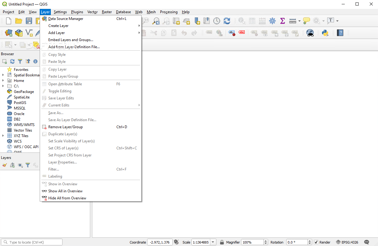
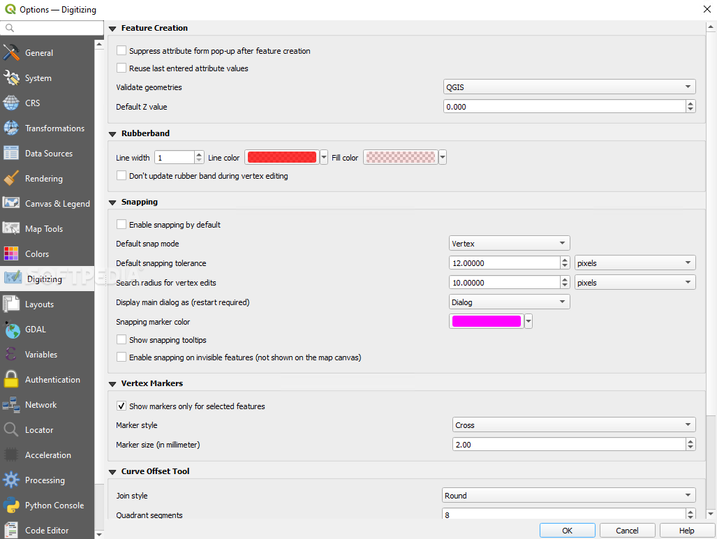
You can perform on-the-fly reprojections, manage spatial bookmarks, label features, overlay vector diagrams, create graticule layers, compose prints—there’s so much you can do! With digitizing tools at hand, managing your vector features becomes a breeze. Plus, the field calculator and georeferencer plugin help you create, edit, and export your spatial data easily.
The Bottom Line on Quantum GIS
In short, Quantum GIS is a fantastic tool whether you're just starting out or already know a thing or two about GIS. Its rich features really set it apart from other software in this space. The community loves it for good reason!
If you're looking to check it out further or download Quantum GIS here!
Also part of these download collections: GIS Tools
User Reviews for Quantum GIS 7
-
for Quantum GIS
Quantum GIS offers a comprehensive suite of GIS tools for advanced users. Crowded interface is offset by detailed documentation.
-
for Quantum GIS
Quantum GIS is an amazing tool for anyone interested in mapping and spatial data. The features are robust!
-
for Quantum GIS
I love Quantum GIS! It has everything I need to create detailed maps, and the documentation is very helpful.
-
for Quantum GIS
Great app for GIS work! Once you get used to the interface, it becomes a powerful asset for projects.
-
for Quantum GIS
Quantum GIS stands out with its extensive tools for editing and analyzing data. Highly recommend it!
-
for Quantum GIS
This app is fantastic! It supports various formats and makes map creation straightforward and fun.
-
for Quantum GIS
As a beginner, I found Quantum GIS challenging at first, but now I can't imagine working without it!