
Description
S1XViewer
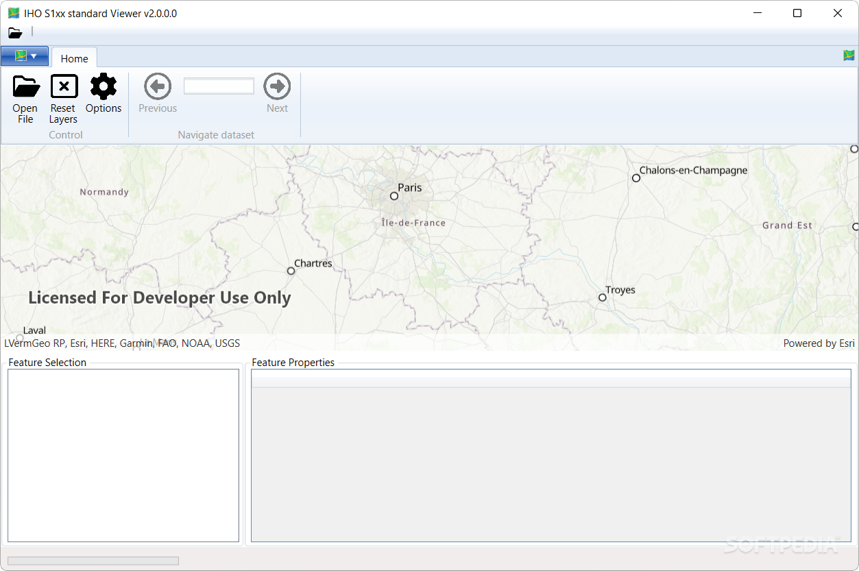
S1XViewer is a super handy tool that lets you check out electronic nautical maps right on your desktop. This software is perfect for professionals who work with ENC maps and need to plan routes that keep the crew and cargo safe.
Why Use S1XViewer?
For example, think about a ship captain using this app. They can pull up a nautical map and plot a safe course through tricky waters. These maps are packed with important info like water depth, underwater hazards, and other details that affect navigation. With all this knowledge, the captain can figure out the best way to steer the ship in certain areas to dodge any accidents.
Visualize Your Route
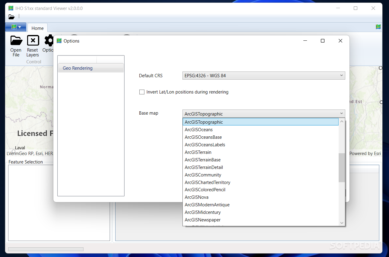
This program also taps into the ESRI ArcGIS system to help you see all the info on the chart more clearly. Just keep in mind that you’ll need an Internet connection for this feature to work. Without it, S1XViewer won't be able to fetch the basemap, and things might get a bit wonky!
Compatibility Matters
Now let's talk compatibility! The app currently supports formats like S122, S123, S127, S128, and parts of all S111. If you're wondering about support for S102, S104, DCF4, and DCF1—don’t worry! Those are in development and should be available soon.
If you're interested in checking it out for yourself or want to download, head over to SoftPas!
User Reviews for S1XViewer 1
-
for S1XViewer
S1XViewer is a must-have for ship captains. Its ability to display nautical maps with crucial details ensures safe voyages.