
Description
TerraExplorer
TerraExplorer is a user-friendly software that lets you explore and analyze stunning 3D landscapes. It’s packed with all sorts of handy features that make it fun and easy to use!
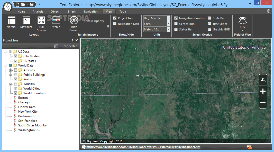
Easy Installation and Interface
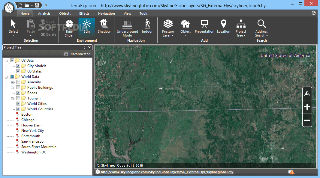
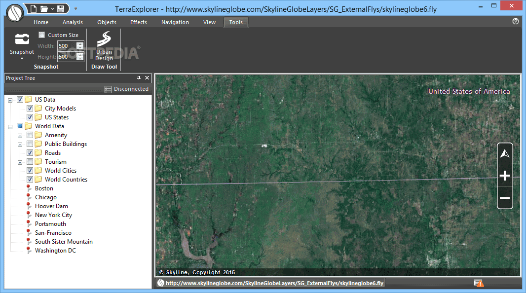
Getting started with TerraExplorer is super simple. You can install it quickly without any hassle. Once you're in, the interface greets you with a clean and organized layout. You can open different files like TerraExplorer (.fly) or MPT files, or even maps featuring US terrains.
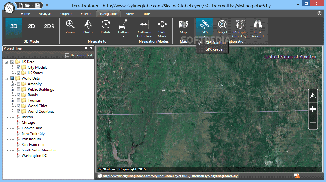
Navigating Your Maps
The project tree helps you navigate through various directories so you can pick the maps you want to view right in the main frame. You can zoom in, fly around the map, change your viewpoint, take snapshots, and save them for later!
Geographical Information at Your Fingertips
If you're curious about specific areas on the map, just click on them! You can get geographical info, adjust time sliders, show or hide shadows and sunlight, activate underground mode, or even load new feature layers from TerraExplorer project files or Google Earth (.kml, .kmz).
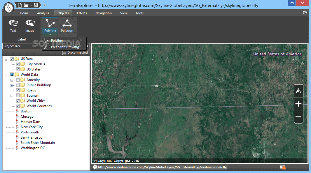
Create 3D Objects and Presentations
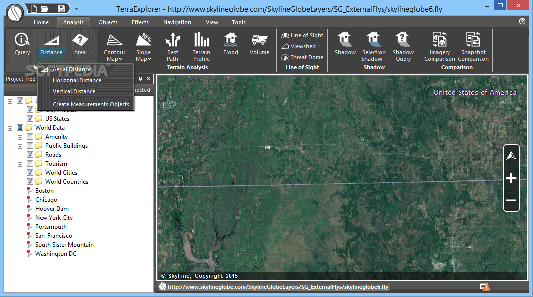
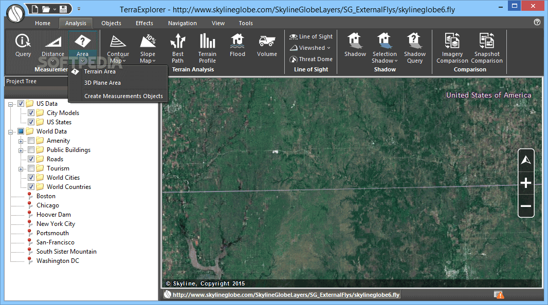
You can also add cool 3D objects like text labels or polygons to your map. Feeling creative? Put together a presentation or measure distances—whether it's horizontal, aerial, vertical, terrain area or even in 3D!
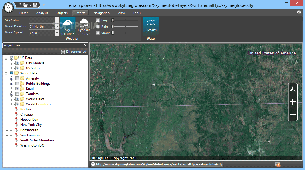
Customize Your Terrain Visualization
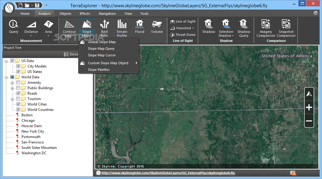
Want to visualize elevation? You can apply contour colors or lines based on elevation values! Plus, there are tools to calculate the shortest path between two points or simulate floods for analysis.
Smooth Performance
During our tests, everything ran smoothly! The program didn't crash or slow down our computer at all; it kept CPU and RAM usage low.
A Great Choice for Users
With its attractive interface and intuitive features, TerraExplorer is sure to impress anyone looking for reliable software to explore 3D maps.
Free vs Paid Version
Please note: The free version of TerraExplorer lets you navigate and analyze 3D environments. If you want more features like importing your own raster layers or editing landscapes, you'll need to purchase a paid version.
User Reviews for TerraExplorer 7
-
for TerraExplorer
TerraExplorer offers an interactive 3D landscape viewing experience with practical options. Smooth performance and user-friendly interface make it reliable.
-
for TerraExplorer
Absolutely love TerraExplorer! The 3D landscapes are stunning, and the interface is super intuitive. Great app!
-
for TerraExplorer
TerraExplorer is a game-changer for map analysis! Easy to use and packed with features. Highly recommend!
-
for TerraExplorer
This app is fantastic! It allows me to explore 3D terrains effortlessly, and the tools are very user-friendly.
-
for TerraExplorer
TerraExplorer exceeded my expectations! The performance is smooth, and it offers amazing features for analysis.
-
for TerraExplorer
I’m impressed with TerraExplorer! The ability to visualize and analyze landscapes in 3D is incredible. Five stars!
-
for TerraExplorer
What an amazing tool! TerraExplorer makes exploring terrain so much fun, and it runs flawlessly on my computer.