
Description
WinDesc: The Ultimate Land Surveying Software for Efficient Height Information Management
Looking for a comprehensive solution to streamline your land surveying projects? WinDesc software download offers an intuitive platform designed specifically for surveyors and spatial analysis professionals. This powerful application transforms collected height information into complete, organized projects without requiring additional terrain measurements.
When you download WinDesc, you gain access to a sophisticated land surveying tool that significantly enhances workflow efficiency. Whether you're handling multiple survey projects simultaneously or working on extensive national or international initiatives, this software provides the organizational framework needed to manage complex spatial data.
Streamlined Project Creation and Management
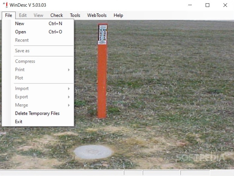
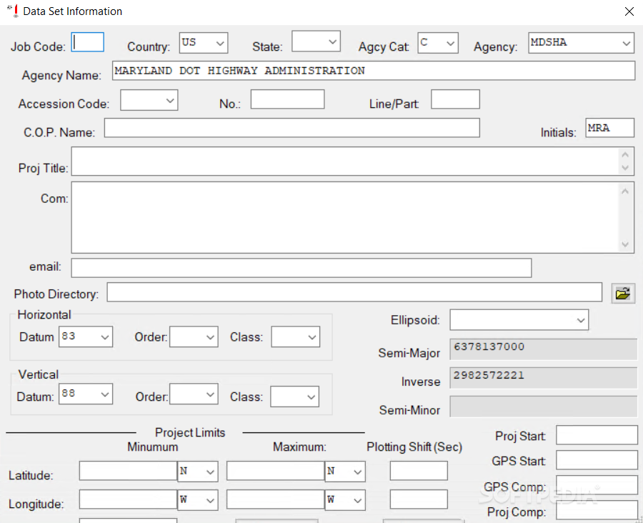
Upon launching the application after your WinDesc download, you'll be presented with a detailed information sheet for new project creation. The intuitive interface guides you through entering all essential survey data, ensuring comprehensive documentation from the very beginning of your project.
The software allows you to input and organize various critical data points including:
- Job Code identifiers
- Country and precise location information
- GPS coordinates of surveyed areas
- Project titles and descriptions
- Specific space-related measurements and parameters
- Additional comments and observations
Enhanced Productivity for Surveying Professionals
WinDesc's primary advantage lies in its ability to reduce time spent searching through and organizing survey data. By centralizing project information, this land surveying software allows professionals to dedicate more time to actual field work and analysis rather than administrative tasks.
The surveying application excels particularly for teams managing multiple concurrent projects. Its robust organizational structure accommodates both small-scale local surveys and extensive international projects requiring subdivision into manageable sections.

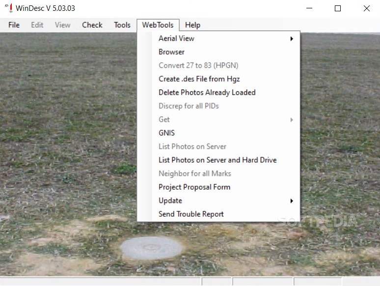
Advanced Mapping Capabilities
When you download the WinDesc surveying software, you'll discover its sophisticated mapping functionality that transforms raw data into visually comprehensible representations. The program enables:
- Simplified land mapping procedures
- Modern visualization of terrain data
- Integration of photographic documentation
- Association of supplementary materials with specific projects
This comprehensive approach to mapping ensures that all aspects of your surveying projects are thoroughly documented and easily accessible whenever needed.
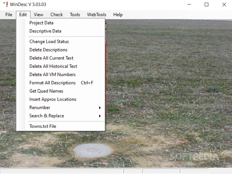
Real-Time Project Evolution Tracking
One of WinDesc's standout features is its flexibility for subsequent edits and updates. As your surveying project progresses, the software allows you to:
- Track changes in terrain conditions over time
- Document project milestones and developments
- Update measurements as new data becomes available
- Monitor the complete evolution of surveying initiatives
This dynamic capability ensures your projects remain current and accurate throughout their lifecycle.
Technical Specifications
- Compatible Operating Systems: Windows 7/8/10/11
- Memory Requirements: 4GB RAM minimum, 8GB recommended
- Storage: 500MB available hard disk space
- Processor: Dual-core 2GHz or higher
- Export Formats: DXF, CSV, XML, PDF
- Data Import Compatibility: Most major GPS and total station formats
- Network Capabilities: Multi-user access for team collaboration
Benefits for Surveying Professionals
The WinDesc surveying application delivers significant advantages to professionals in the field. By centralizing height information and providing powerful organizational tools, it addresses the complex challenges of modern land surveying. Users consistently report improved project completion times and enhanced data accuracy after implementing this software into their workflow.
Whether you're a solo surveyor handling small projects or part of a large organization tackling extensive terrain analysis, WinDesc adapts to your specific needs. Its scalable nature makes it equally valuable for educational institutions, government agencies, and private surveying firms.
Download WinDesc today to transform your surveying operations with a solution designed specifically for height information management and terrain analysis. Experience the difference that proper digital organization and streamlined workflows can make in your surveying projects.
```
User Reviews for WinDesc 7
-
for WinDesc
WinDesc simplifies land surveying with detailed project creation, organizing data efficiently. Ideal for space analysis, with quick access and editing capabilities.
-
for WinDesc
WinDesc has transformed my surveying projects! The organization and ease of access to data are unbeatable.
-
for WinDesc
This app is a game changer for land surveying. It saves so much time and keeps everything neatly organized.
-
for WinDesc
Absolutely love WinDesc! It simplifies project management and enhances productivity with its great features.
-
for WinDesc
WinDesc is an incredible tool for any surveyor. Fast data entry and easy access to info make it a must-have!
-
for WinDesc
I can't recommend WinDesc enough! It's user-friendly, efficient, and has streamlined all my surveying tasks.
-
for WinDesc
Fantastic app for land surveying! It helps me document projects effectively while saving precious time.