
Description
ArcGIS Explorer
ArcGIS Explorer makes it super easy to travel to remote spots around the globe. Thanks to cool apps and services that use satellite data or other images, you can get accurate maps for nearly anywhere on Earth!
Why Use ArcGIS Explorer?
If you work with GIS data and want to create custom maps that include fun stuff like images and videos, then ArcGIS Explorer is your go-to tool. It’s perfect for mapping out all sorts of locations.
Easy Installation
Getting started with this program is a breeze. The setup should finish in just a couple of minutes without any hiccups. Once it's done, you can dive right into exploring its features! Just a heads up: you might need to restart your computer after installing it, but the software will let you know when that’s necessary.
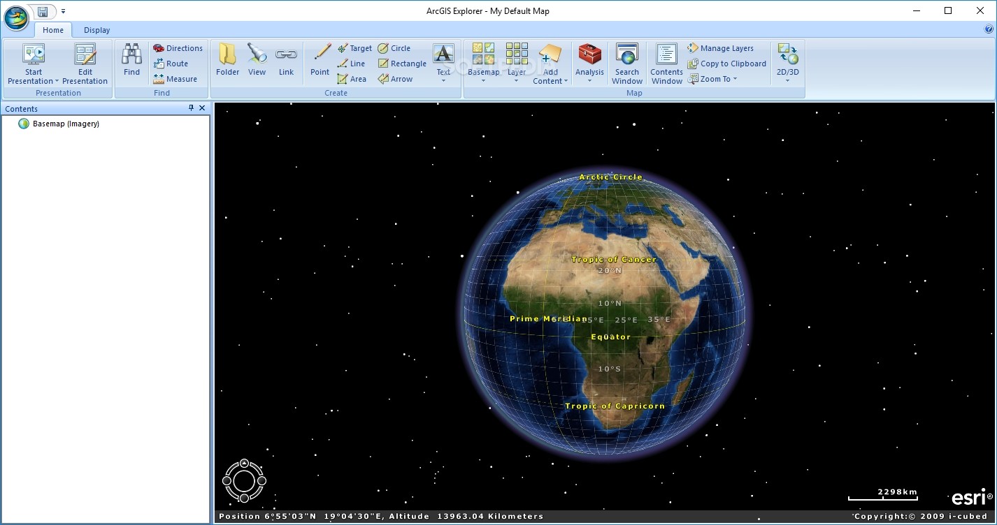
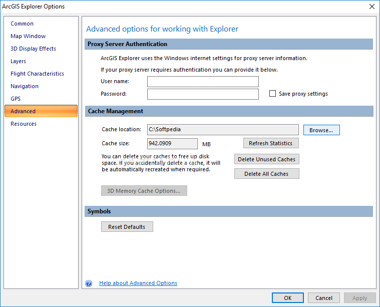
Main Features of ArcGIS Explorer
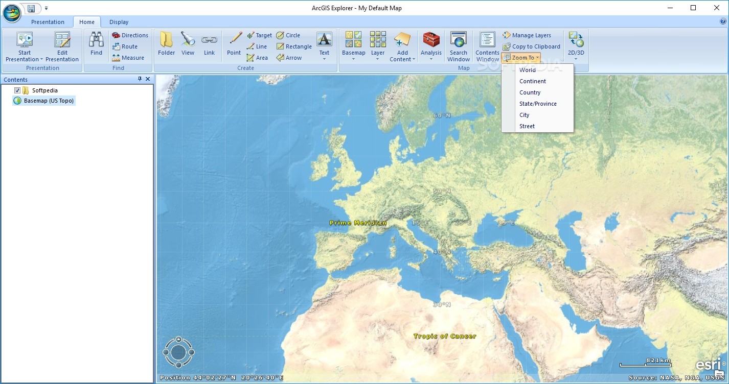
The main window of ArcGIS Explorer is pretty user-friendly. Most of the screen shows the map view, while the left pane lets you manage your content easily. You can select open documents and add new elements like notes, links, or folders.
File Compatibility
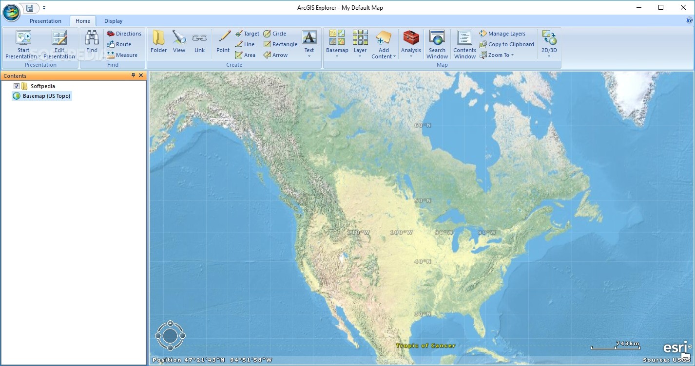
This handy software works with various file types for local data imports. Some formats it supports include shapefiles, raster files, geodatabases, GPX files, and even KMZ or KML files! Plus, it offers access to online services and a 3D display mode that makes it stand out from similar programs.
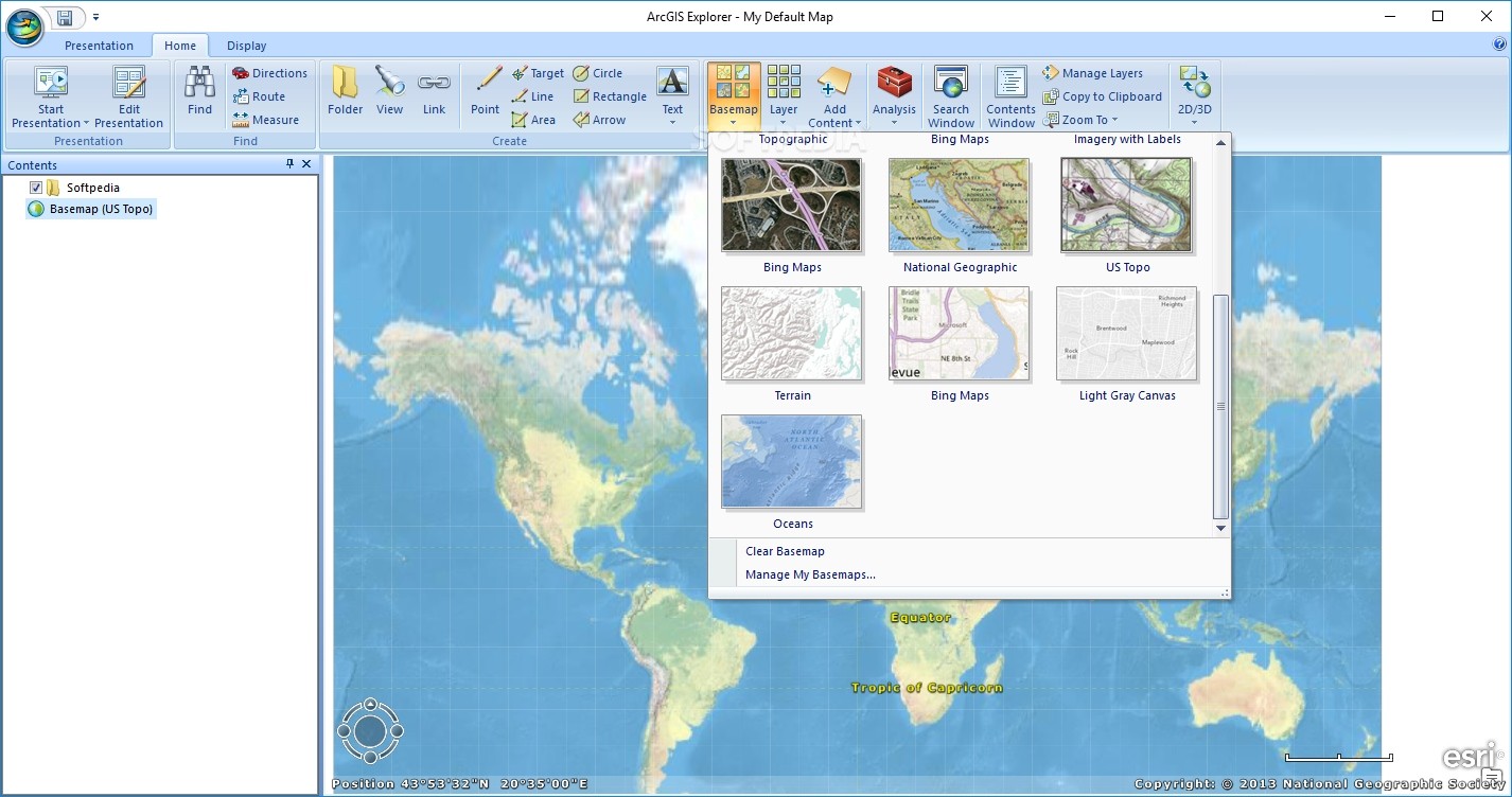
Diverse Basemaps
The app comes packed with several built-in basemaps, so picking one to view or work on is super simple. Whether you're looking at aerial views or street maps, it's all there! You can also add input from ArcGIS layers along with text and image overlays.
Your Personal Mapping Tool
In conclusion, ArcGIS Explorer is an awesome tool that helps users find and closely explore different places around the world. You can personalize maps however you like and save them for others to check out too!
User Reviews for ArcGIS Explorer 16
-
for ArcGIS Explorer
ArcGIS Explorer offers seamless setup, diverse file type support, and online services access for custom map creation, making it ideal for GIS professionals.
-
for ArcGIS Explorer
ArcGIS Explorer offers efficient features but can improve user interface. It's great for spatial analysis.
-
for ArcGIS Explorer
ArcGIS Explorer offers an intriguing platform for mapping and geospatial analysis, but it has some room for improvement.
-
for ArcGIS Explorer
An excellent tool for mapping with a diverse set of features, but requires a bit of learning curve.
-
for ArcGIS Explorer
ArcGIS Explorer offers robust mapping capabilities with intuitive controls for an enhanced user experience.
-
for ArcGIS Explorer
ArcGIS Explorer offers an incredible interface for geographical data visualization, though occasional performance issues mark it down.
-
for ArcGIS Explorer
ArcGIS Explorer provides superb mapping features for data visualization, though it has a bit steep learning curve.