Description
Australia Topo Maps
Looking for an easy-to-use navigation app for your outdoor adventures in Australia? Look no further than Australia Topo Maps!
Main Features
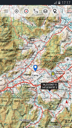
- Create and edit Waypoints
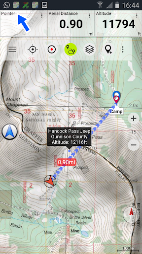
- GoTo-Waypoint-Navigation
- Track Recording (with speed, elevation, and accuracy profile)
- GPX/KML/KMZ Export
- Search (placenames, POIs, streets)
- Share Waypoints, Tracks, or Routes
Premium Map Layers
- Victoria 1:25.000
- Western Australia 1:25.000 - 1:100.000
Available Pro Features
- Offline Use - no cell coverage needed
- Easy+Fast Bulk-download of map tiles for offline usage
- Create and edit Routes
- Route-Navigation (Point-to-Point Navigation)
- Unlimited Waypoints & Tracks
Get the Best Topographic Maps
The Australia Topo Maps app provides access to a variety of topographic maps and satellite images, including:
- NATMAP 1:250.000 Topo Maps
- Getlost Maps for complete Australia
- Australia Base Map
- And many more...
Outdoor Activities Made Easy
Whether you're hiking, biking, camping, or skiing, this app has all the features you need for a successful outdoor adventure. Plus, with the ability to add custom waypoints and import/export GPS data, you'll always be prepared.
No User Tracking
Rest assured that your privacy is protected with Australia Topo Maps. We do not track any user activities or collect any user data.
Download the app now and start exploring the great outdoors in Australia!
User Reviews for Australia Topo Maps 1
-
for Australia Topo Maps
Australia Topo Maps is a must-have for outdoor enthusiasts. Extensive map options, waypoint navigation, and offline use make it ideal.


