


Description
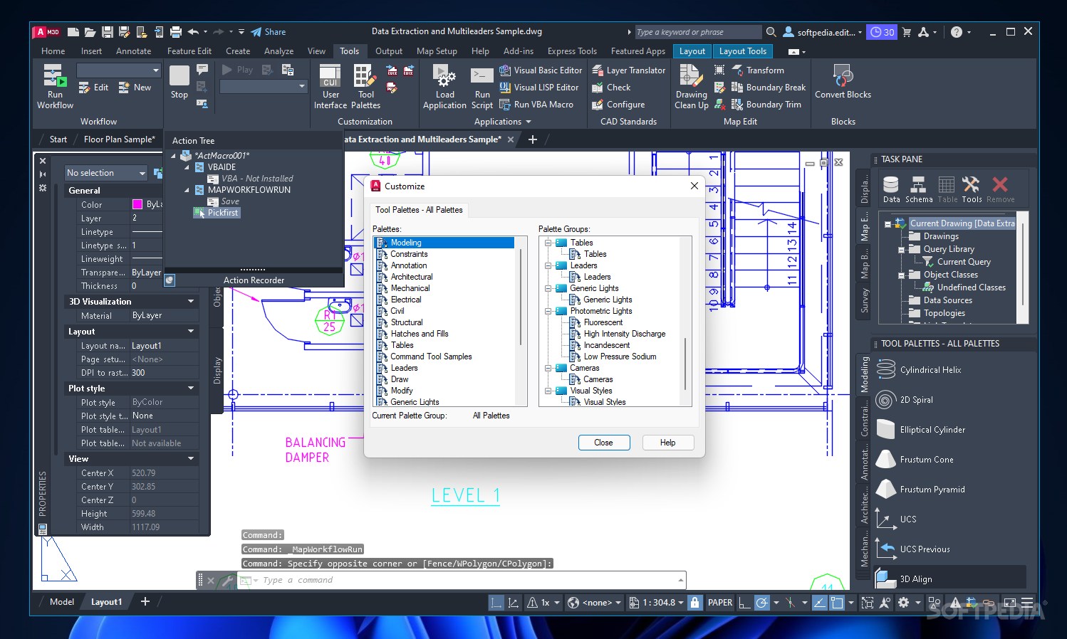
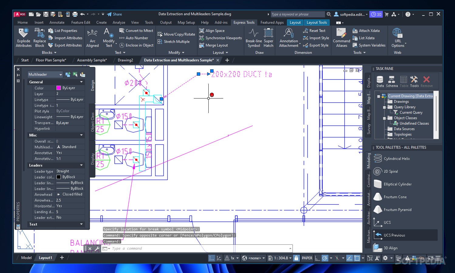
AutoCAD Map 3D
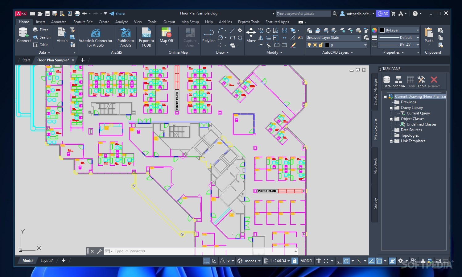
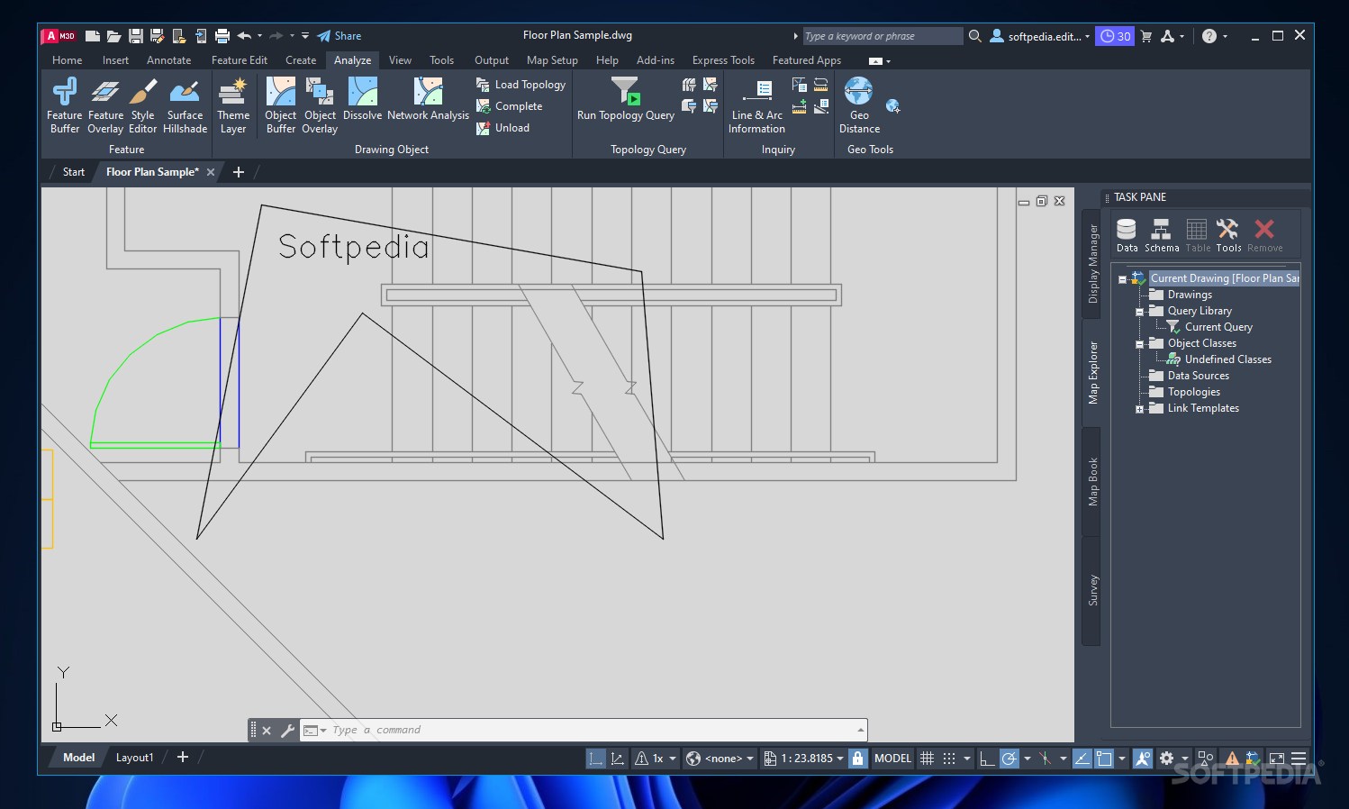
AutoCAD Map 3D is a top-notch GIS application packed with features designed to help you analyze geographical and topological data. Whether you’re creating professional mapping models or just exploring the layout of your area, this software has got you covered!
Who Should Use AutoCAD Map 3D?
This program is perfect for GIS professionals and engineers. It gives you all the tools you need for infrastructure design, efficiency analysis, and GIS imagery management. But don’t worry! The interface is user-friendly, so even if you're new to it, you'll find it pretty easy to navigate.
Powerful Data Processing
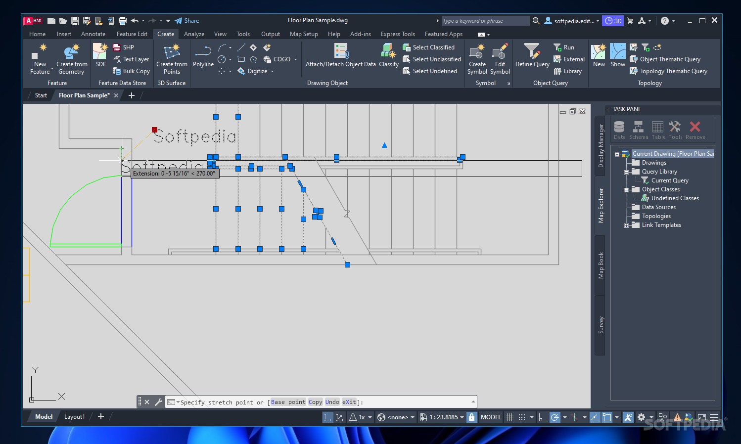
Thanks to its robust modeling engine, AutoCAD Map 3D can import and process data from various sources like 3D scanners. You can easily convert that data into industry-standard models.
Create Detailed Maps
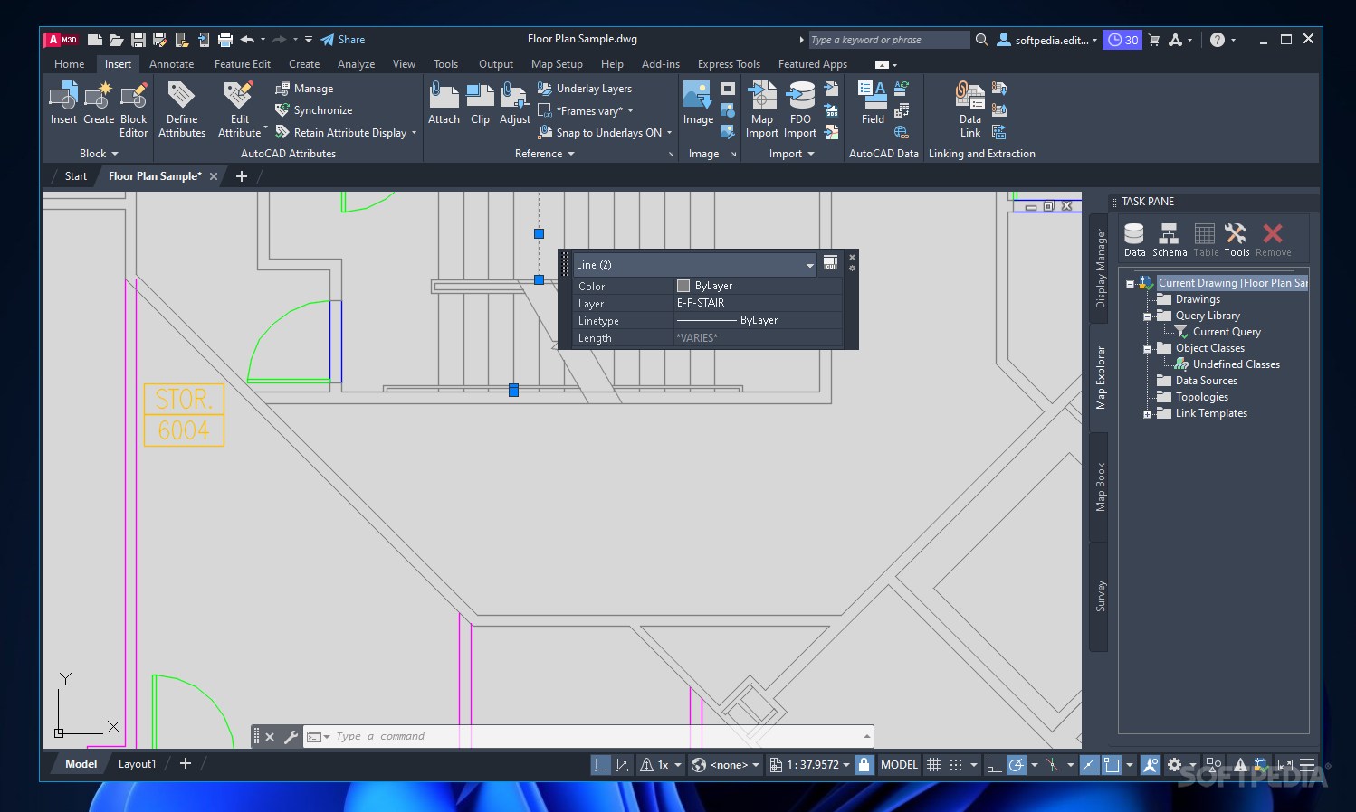
The software comes with a variety of drawing tools that let you create maps to scale, modify elements, manage layers, and edit project attributes. You can even choose different visualization styles to display your maps in either 2D or 3D!
Advanced Features at Your Fingertips
You’ll find options for managing coordinate systems or creating new ones from scratch. Plus, you can insert standardized map symbols into your projects, generate dynamic legends with adjustable data, create scale bars, and build linear referencing systems.
Flexible Integration Options
This application adapts well to various display standards. It integrates smoothly with other CAD applications so exporting your project for further processing is a breeze. Want to share your maps online? You can do that too!
Real-World Applications
AutoCAD Map 3D is super useful in many fields. For example, engineers can quickly locate facilities connected to a piping system and inform customers about any upcoming repairs that might disrupt service.
Your Go-To Tool for Design and Management
This software offers powerful design, visualization, and analysis options that help engineering professionals create stylish maps and plans. You can even manage maintenance schedules directly from an intuitive workspace.
If you're looking for a reliable tool in the world of GIS applications, check out AutoCAD Map 3D here!
AutoCAD Map 3D is part of these download collections: GIS Tools.
User Reviews for AutoCAD Map 3D 15
-
for AutoCAD Map 3D
AutoCAD Map 3D is a comprehensive GIS app, ideal for professionals. Its intuitive interface and powerful features make it a top choice.
-
for AutoCAD Map 3D
AutoCAD Map 3D provides innovative mapping solutions with robust toolsets, improving overall efficiency in design.
-
for AutoCAD Map 3D
AutoCAD Map 3D offers granular control and powerful designing options. Minor accessibility issues but largely satisfied.
-
for AutoCAD Map 3D
AutoCAD Map 3D offers excellent design and mapping features: practical, reliable and efficient for professionals.
-
for AutoCAD Map 3D
AutoCAD Map 3D is a robust platform for map design, merging CAD with GIS. Great for experts, steep learning curve for beginners.
-
for AutoCAD Map 3D
Powerful yet intuitive software for creating comprehensive 3D maps. A must-have for civil engineers and architecture professionals.
-
for AutoCAD Map 3D
Ideal for planners! The AutoCAD Map 3D boasts excellent, robust tools for geographic data management.