
Description
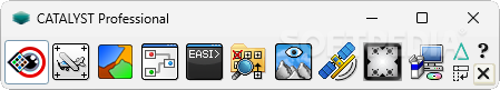
Catalyst Professional
Catalyst Professional is a cool software made by PCI Geomatics that helps you analyze earth observation data. Whether you’re a pro or just curious, this application lets you dive into satellite and aerial images to uncover all sorts of details using some pretty advanced techniques. In industries like petroleum exploration, national mapping, and crop monitoring, this tool really shines!
Getting Started with Catalyst Professional
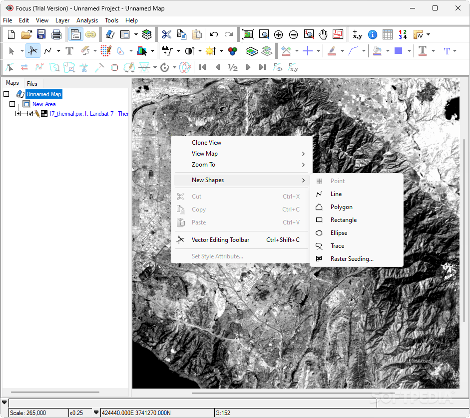
Now, just a heads-up: when you install it, it might take a bit of time since it needs some extra utilities to work right. But once you're set up, you'll find yourself in a feature-packed interface that has menus and toolbars hiding loads of options and settings. You’ll have access to tools for geometric correction, mosaicking, orthorectification, and DEM extraction.
File Compatibility
This software is super flexible when it comes to file types! You can open various formats like common rasters and vectors, Focus project files, ACE and SPANS maps, PCIDSK files, PCI multi-file lists, ADRI (Arc Digitized Raster Image), ADS/SOCET SET files, ALOS PRISM images, ALOS/PALSAR Mosaic Raw images, ArcView Shapefile files as well as AutoCAD DXF files.
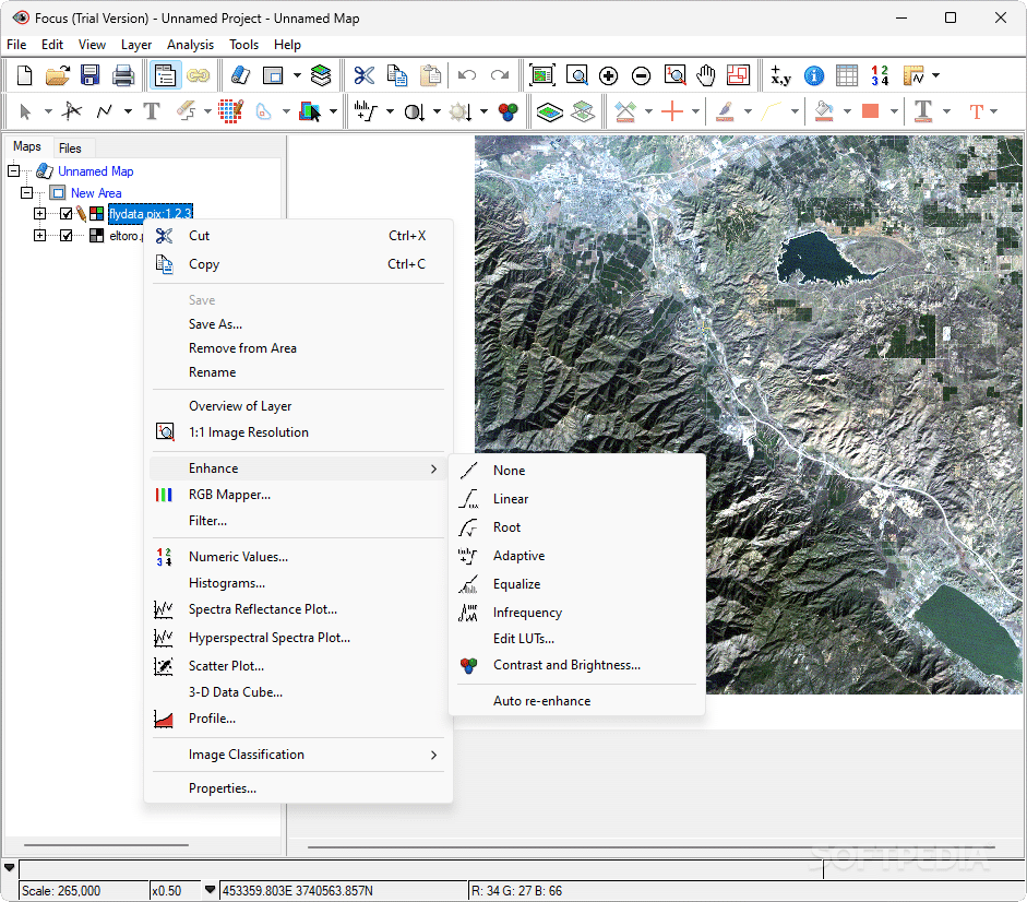
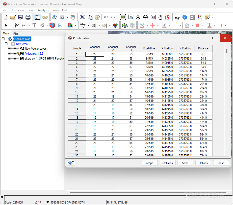
Exploring Your Data
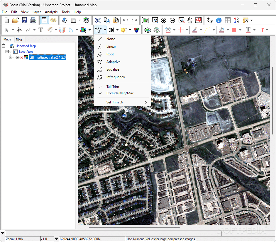
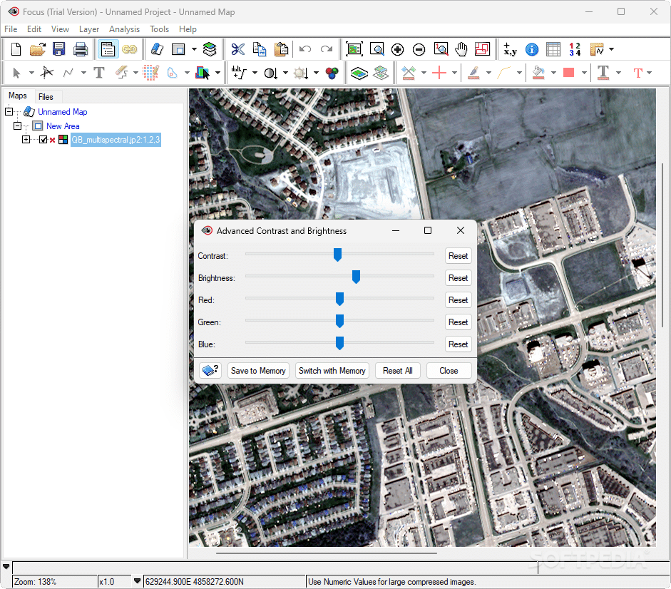
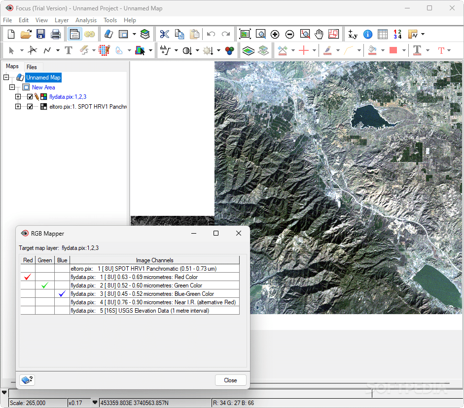
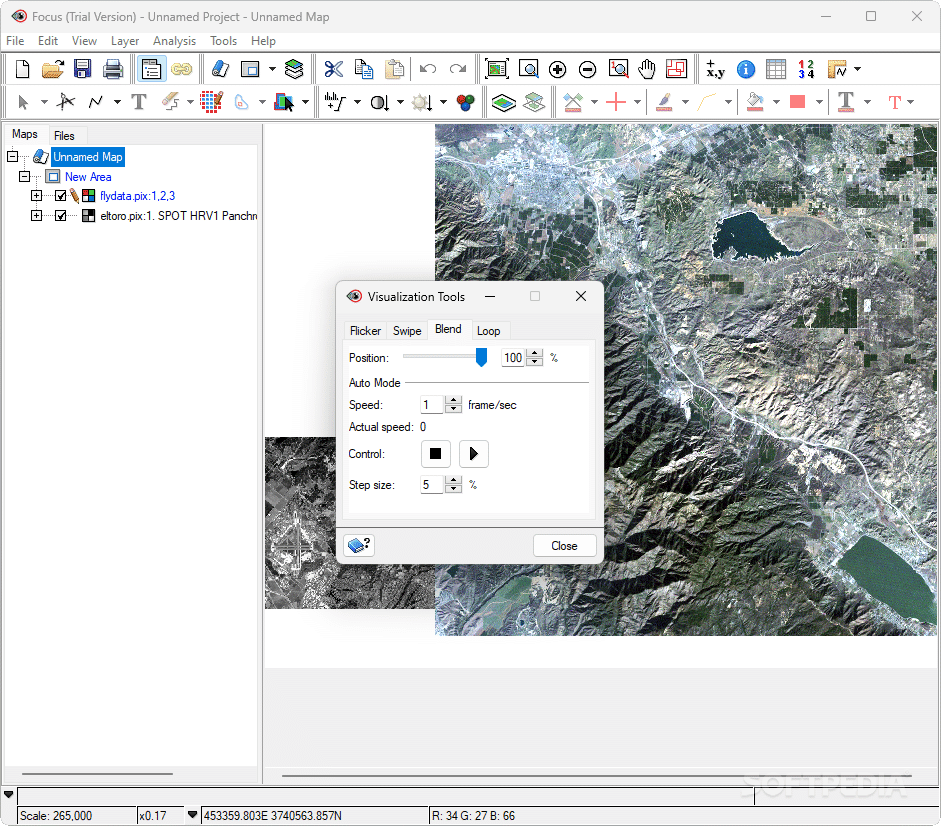
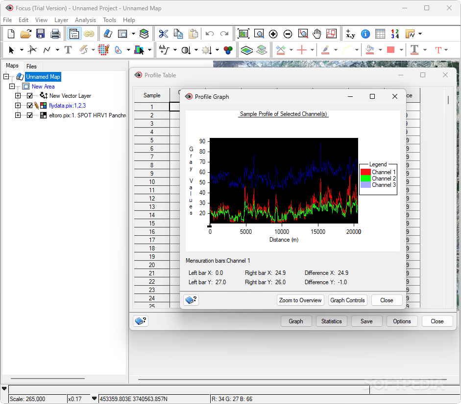
You can check out your map resources in a neat hierarchical view. Plus, there are plenty of tools to enhance specific areas using features like linear adjustments or brightness tools. You can also view the RGB mapper and filter areas with lowpass or highpass filters. If you're into numbers, you can inspect raw or enhanced data values too!
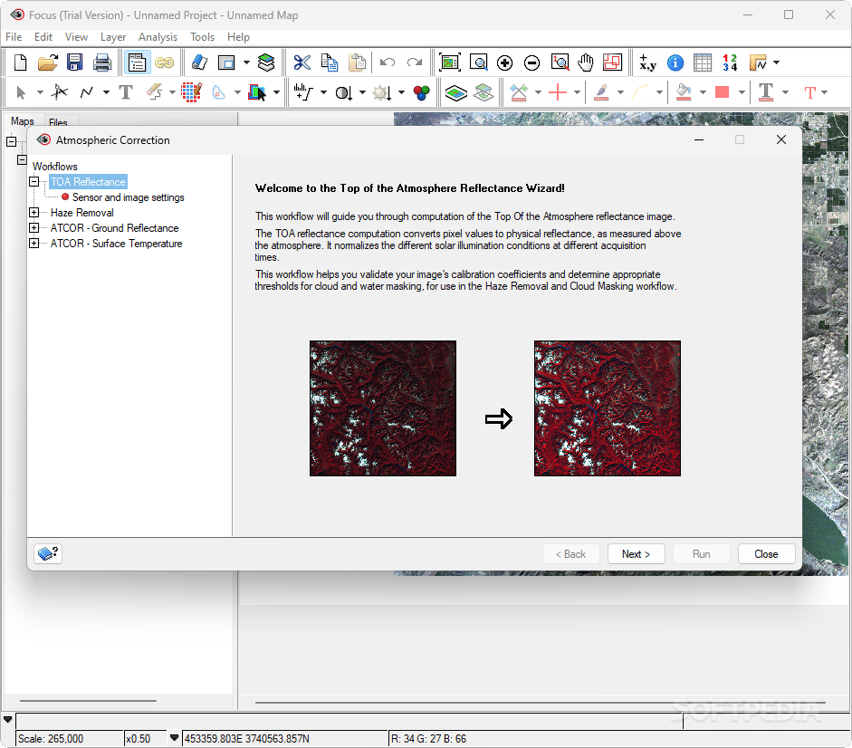
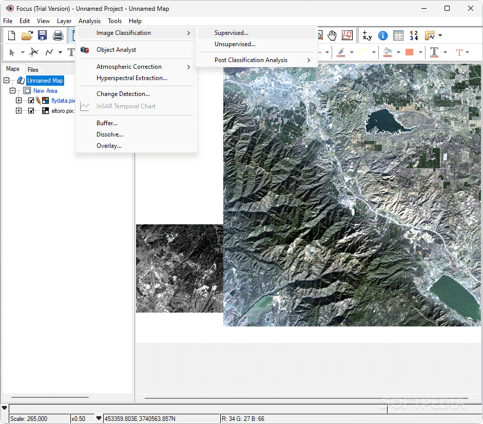
Analysis Features Galore!
When it's time for analysis, Catalyst has got your back! You can do image classification (supervised or unsupervised), atmospheric corrections (like removing haze), spectra extraction plus so much more! It even offers options for detecting changes over time which is super helpful.
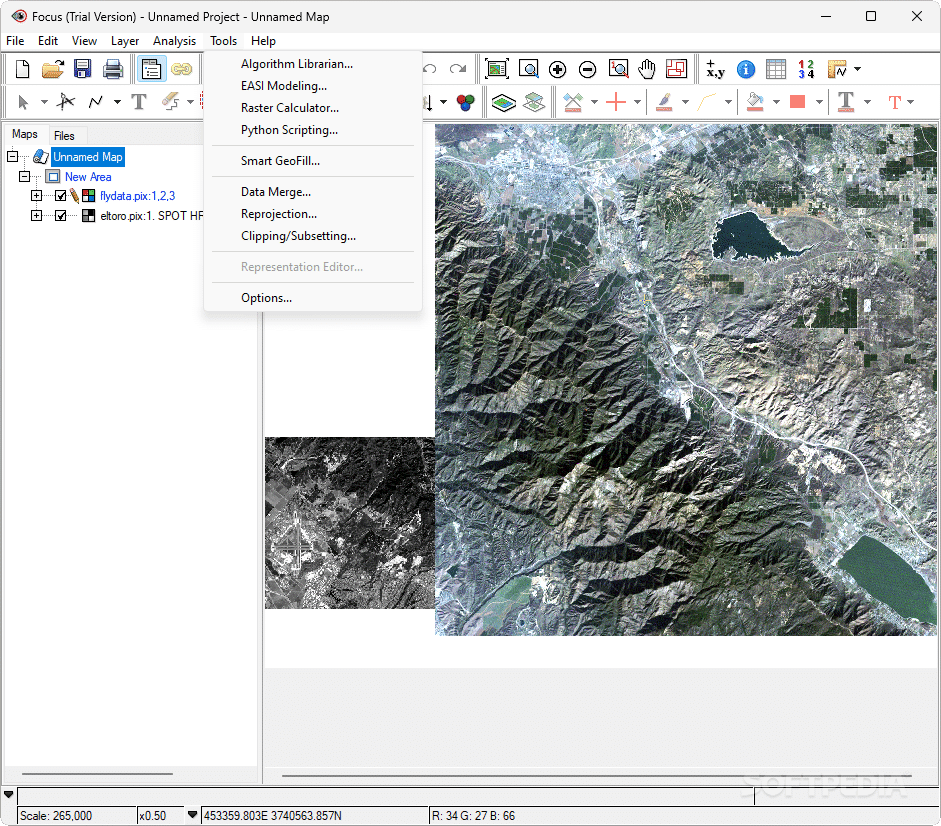
Extra Tools at Your Fingertips
The software isn’t short on additional tools either! There’s an algorithm librarian for your coding needs along with an EASI modeler and raster calculator. Python scripting? No problem! Data merging? Easy peasy! And exporting maps to Adobe Illustrator (AI format) or Google Earth (KMZ/KML) is straightforward as well.
Conclusion: Is Catalyst Right for You?
All things considered, Catalyst Professional is an awesome remote sensing program perfect for anyone interested in analyzing earth observation data. In our tests on Windows 10, everything ran smoothly!
If you're ready to explore what Catalyst Professional has to offer download here!
User Reviews for Catalyst Professional 7
-
for Catalyst Professional
Catalyst Professional by PCI Geomatics offers advanced earth observation analysis tools, perfect for professionals. Installation may take a while.
-
for Catalyst Professional
Catalyst Professional is an exceptional tool for analyzing earth observation data. The interface is feature-rich and user-friendly, making it easy to perform complex analyses. Highly recommend!
-
for Catalyst Professional
I've been using Catalyst Professional for my mapping projects, and I couldn't be happier! The advanced analysis tools are fantastic, and the ability to handle various file types is a huge plus.
-
for Catalyst Professional
This app has transformed the way I work with satellite images. The range of features available for analysis is impressive, and it runs smoothly on my system. Definitely a 5-star experience!
-
for Catalyst Professional
Catalyst Professional exceeded my expectations! The geometric correction and classification tools are powerful and intuitive. Perfect for anyone serious about earth observation data.
-
for Catalyst Professional
I love using Catalyst Professional! It’s packed with features that allow for deep analysis of aerial images. The installation takes some time, but it's worth every minute!
-
for Catalyst Professional
Amazing application! Catalyst Professional offers comprehensive tools for remote sensing that are easy to navigate. I'm impressed by its capabilities in crop monitoring and mapping!