
Description
Elevation Mapper
Elevation Mapper is a handy software tool that helps you create elevated geographical maps for just about any spot on our planet. Whether you're working on a school project or need something for professional use, it’s got you covered!
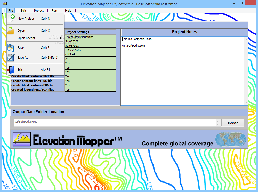
Easy Installation and User-Friendly Design
The installation process is super quick and easy. Once it’s set up, you’ll find that using the app is a breeze! You don’t need to be an expert; having some experience in mapping can help, but it’s not a must.
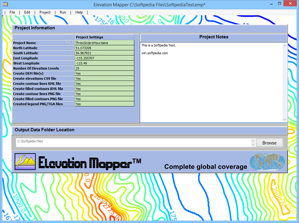
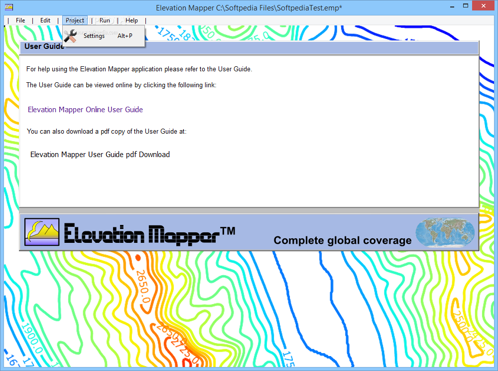
Customizable Project Settings
The main window shows all the project data fields, which you can customize to fit your needs. There’s also an ‘Output Data Folder Location’ where you can choose where to save your created files. Pretty neat, right?
Getting Started with Your Map
First things first: you'll want to set up your ‘Project Settings’. This means giving your project a name and entering the North, South, East, and West coordinates for longitude and latitude. This step is key because it tells Elevation Mapper what area you’re focusing on.
Add Elevation Points & File Types
You can then enter how many elevation points you want to add. Plus, you get to decide if you want to create DEM files, CSV elevation documents, KML contour line files, or other formats like PNG/TGA images by simply typing ‘Yes’ or ‘No’ in the right spots.
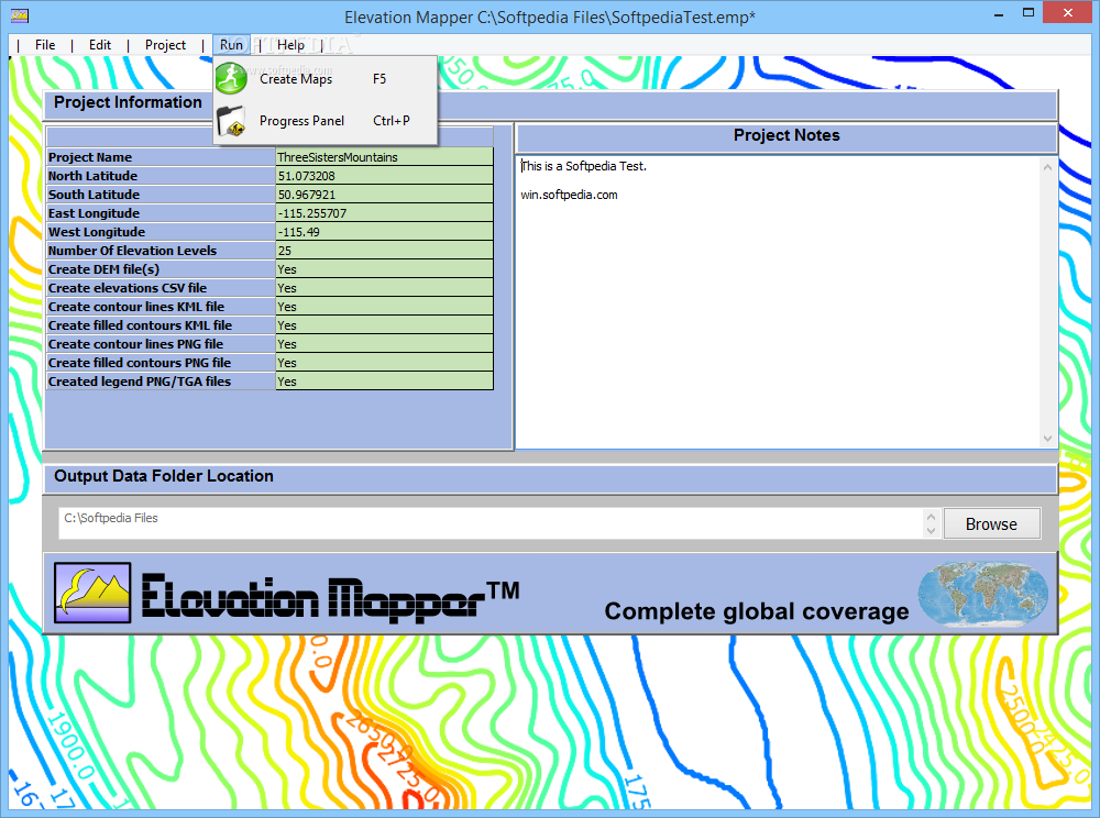
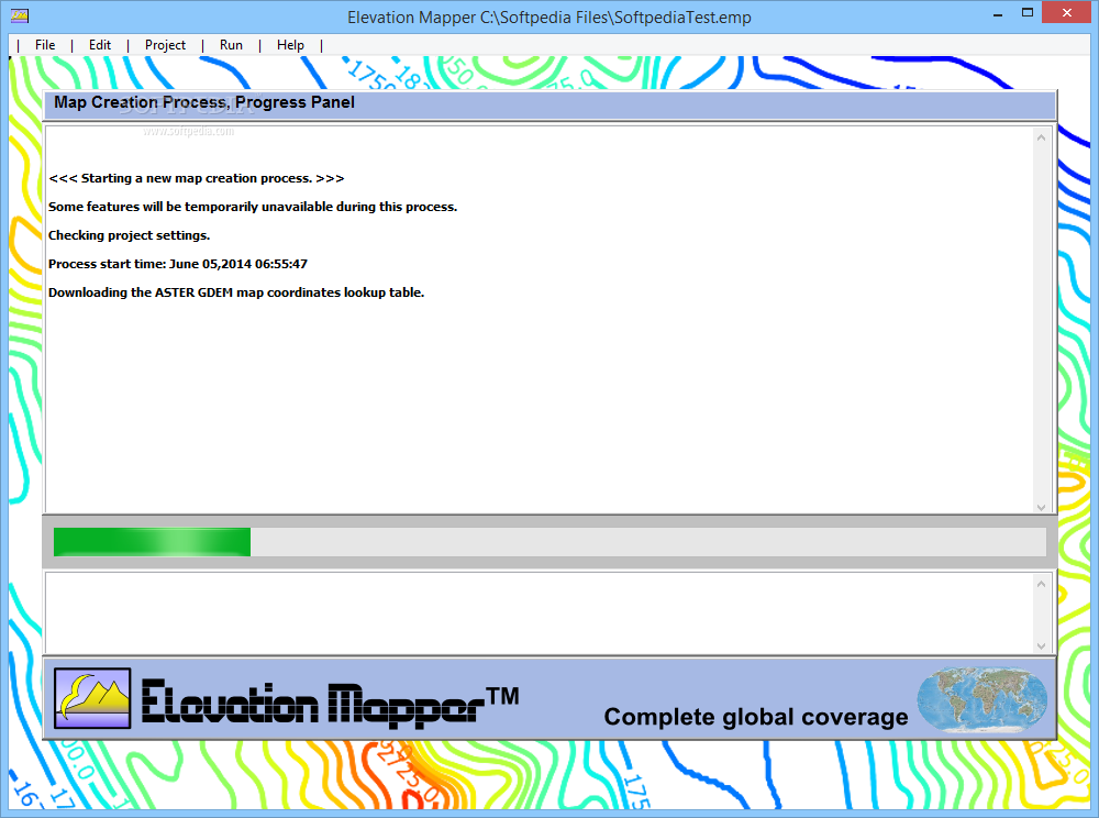
Create Your Maps Effortlessly
If you've got notes related to your project, there’s even a place for that! After everything is set up, just click on the ‘Create Maps’ option from the ‘Run’ menu. Elevation Mapper will then work its magic. It processes everything and saves those cool maps in the folder you chose earlier.
Your Go-To Tool for Elevation Mapping
In summary, Elevation Mapper is efficient and super user-friendly. It makes generating elevation maps for any area on Earth easy—just input those coordinates!
User Reviews for Elevation Mapper 7
-
for Elevation Mapper
Elevation Mapper is a user-friendly program for creating elevation maps. Customizable project data fields make it efficient and reliable.
-
for Elevation Mapper
Elevation Mapper is fantastic! It’s incredibly easy to use and produces high-quality elevation maps.
-
for Elevation Mapper
I love this app! It allows me to create detailed geographical maps effortlessly. Highly recommend!
-
for Elevation Mapper
What a great tool! Elevation Mapper is user-friendly and very effective for generating accurate maps.
-
for Elevation Mapper
This app exceeded my expectations. It’s simple yet powerful, making map creation a breeze!
-
for Elevation Mapper
Elevation Mapper is a game changer! The intuitive interface makes creating maps so much easier.
-
for Elevation Mapper
Absolutely love using Elevation Mapper! It's efficient, straightforward, and perfect for my mapping needs.