Description
Download Elk - Advanced Soil Structure Analysis Software for Geological Studies

Elk is a comprehensive geological software solution designed to assist professionals and researchers in the study and analysis of soil structure, slope stability, and various geological parameters. With its intuitive interface and powerful features, Elk provides a reliable platform for creating, managing, and analyzing geological projects with precision and ease.
Comprehensive Soil Analysis Tool
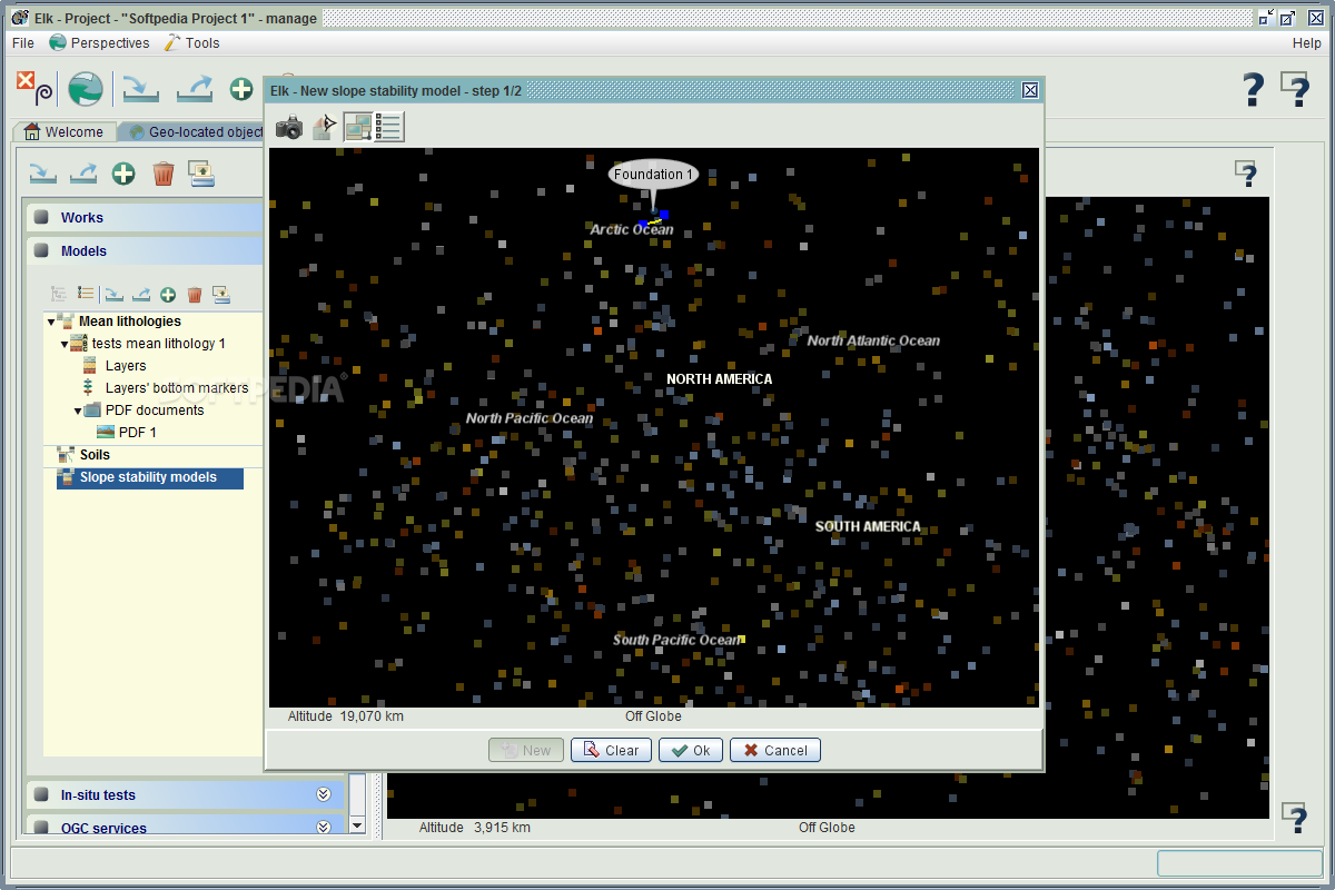
When you download Elk, you gain access to a sophisticated tool that transforms complex geological data into manageable projects. The software enables users to organize studies into focused projects, simplifying the management of documentation and parameter values. The 3D model platform allows for realistic simulations of geological conditions, providing valuable insights for engineering decisions and research purposes.
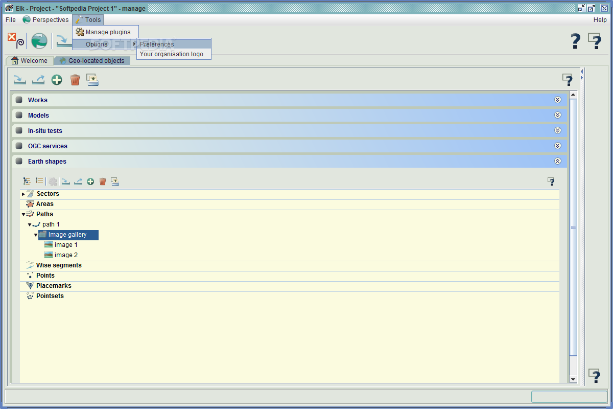
This soil structure analysis software features a three-tab interface that offers different control perspectives over your project data and resources. New users will appreciate how Elk guides you through creating a workspace and project before facilitating data addition and documentation import. Parameter definition is flexible, allowing manual value entry or importation from configured files.
Data Import and Management Capabilities
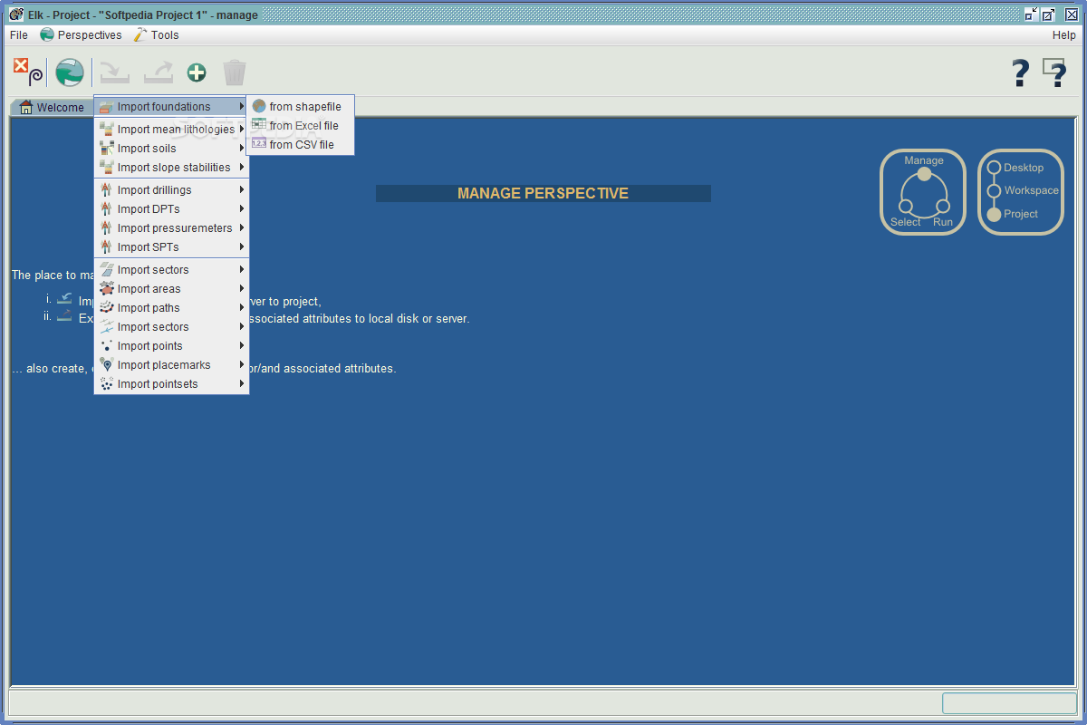
Elk supports comprehensive data import functionality, accepting data from various sources including:
- Native Elk project files
- PDF documents
- CSV files
- Excel spreadsheets
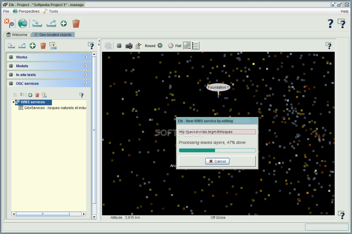
- OGC services (Open Geospatial Consortium)
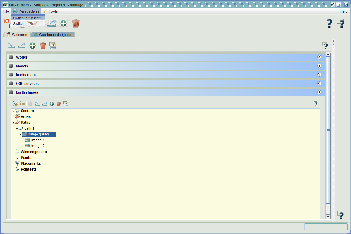
Project parameters can be defined and controlled through three distinct perspectives: 'Manage', 'Select', and 'Run'. Each perspective offers unique functionality:
Manage Perspective
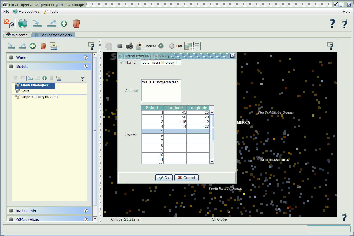
Control the project's tree structure by configuring parameters at each node, creating a hierarchical organization that mirrors real-world geological relationships.
Select Perspective
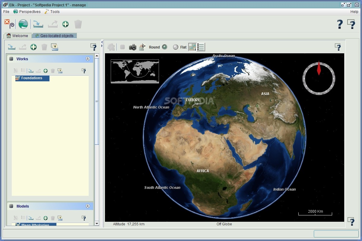
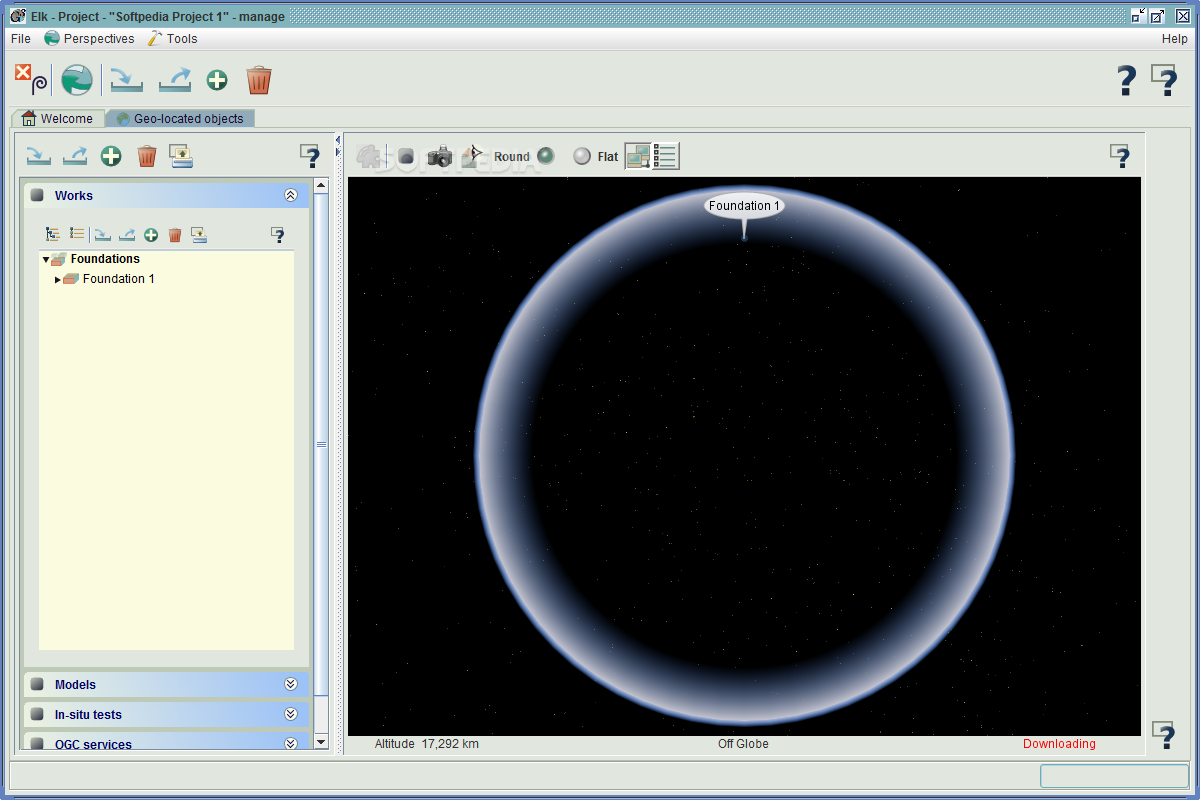
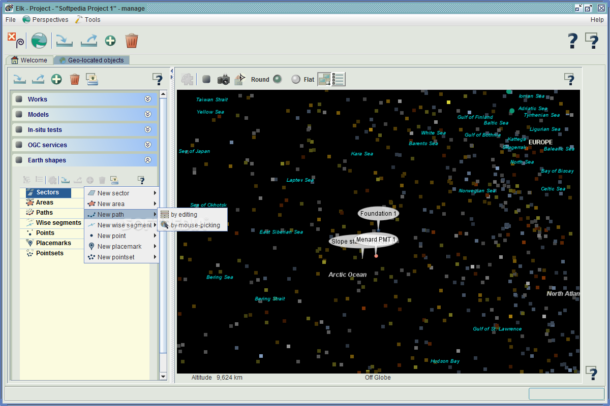
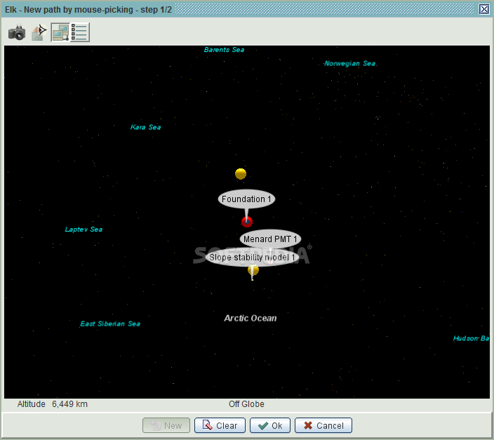
Observe and analyze each node on the world map, providing geographical context to your geological data and enabling spatial analysis.
Run Perspective
Visualize parameter values on interactive charts, allowing for trend identification and data pattern recognition across your geological samples.
Advanced Geological Parameter Control
When you download and install Elk, you'll be able to work with multiple geological parameters within each project. This flexibility allows for comprehensive analysis across various aspects of geological study, including:
- Foundation analysis
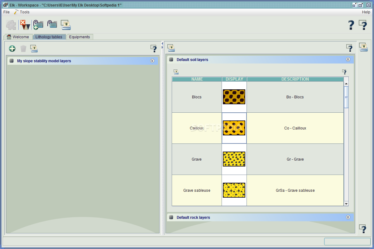
- Lithology investigation
- Layer examination
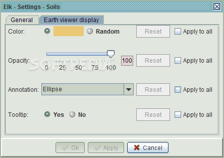
- Soil composition study
- Slope stability assessment
- In-situ test analysis
- Earth shape modeling
The integration with OGC (Open Geospatial Consortium) services is particularly valuable, as it enables direct importation of GIS data from online sources into your projects, expanding your access to geological information resources.
Technical Specifications
- Software Type: Geological analysis tool
- Primary Function: Soil structure and slope stability analysis
- Interface: Three-tab system (Manage, Select, Run)
- Data Import: PDF, CSV, Excel, OGC services
- Data Export: CSV, Excel, PDF
- Visualization: 3D modeling, world map integration, interactive charts
- Project Management: Workspace and project hierarchy
Export and Collaboration Features
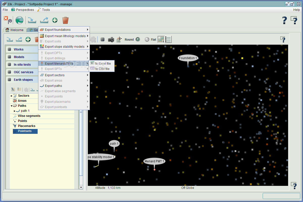
Elk soil analysis software facilitates collaboration and reporting through its robust export capabilities. Projects can be saved in the native Elk format for continued work or exported as CSV files, Excel documents, or PDFs for sharing with colleagues or inclusion in reports. This flexibility ensures that your geological analyses can be effectively communicated to stakeholders regardless of whether they use the Elk platform.
Comprehensive Geological View
The software provides a holistic approach to geological studies by offering a comprehensive view of soil models, slope structures, lithology, and in-situ tests. By downloading Elk, professionals gain a powerful tool that consolidates these various aspects of geological investigation into a single, coherent platform.
Whether you're conducting academic research, performing engineering assessments, or planning construction projects, Elk's ability to handle complex geological data from multiple perspectives makes it an invaluable addition to your professional toolkit.
Why Download Elk for Your Geological Projects
Elk stands out as a reliable soil structure analysis program that combines ease of use with powerful analytical capabilities. Its three-perspective approach to data management and analysis ensures that users can interact with geological information in ways that best suit their current objectives, whether that's organizing data, visualizing spatial relationships, or analyzing parameter trends.
With support for multiple data formats and seamless integration with online geological resources through OGC services, Elk provides the flexibility and connectivity needed for modern geological work. Download Elk today to transform your approach to soil structure analysis and geological parameter assessment.

```
User Reviews for Elk 7
-
for Elk
Elk provides a thorough study and analysis of soil structure, slopes, and geological parameters. Its 3D modeling feature is a standout.
-
for Elk
Elk is an incredible tool for soil and geological analysis! The 3D modeling feature is a game-changer.
-
for Elk
I love how easy it is to manage projects with Elk. Importing data from various formats is seamless!
-
for Elk
This app has transformed my approach to studying soil structures. Highly recommend for any geologist!
-
for Elk
Elk offers a comprehensive view of geological data. The simulation features are fantastic for real-world scenarios.
-
for Elk
What a fantastic app! Elk’s user-friendly interface makes soil parameter analysis straightforward and efficient.
-
for Elk
Absolutely love using Elk! The ability to visualize projects in 3D helps me understand complex data better.

