Description
GeoTagNinja
GeoTagNinja is a handy tool for anyone who loves photography and wants to keep track of where their photos were taken. Thanks to today’s advanced camera systems, most of our phones automatically tag our pictures with location info. If you haven't turned off this feature, every time you snap a photo, the phone records where you are!
Why Use GeoTagNinja?
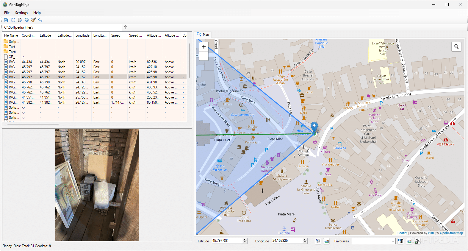
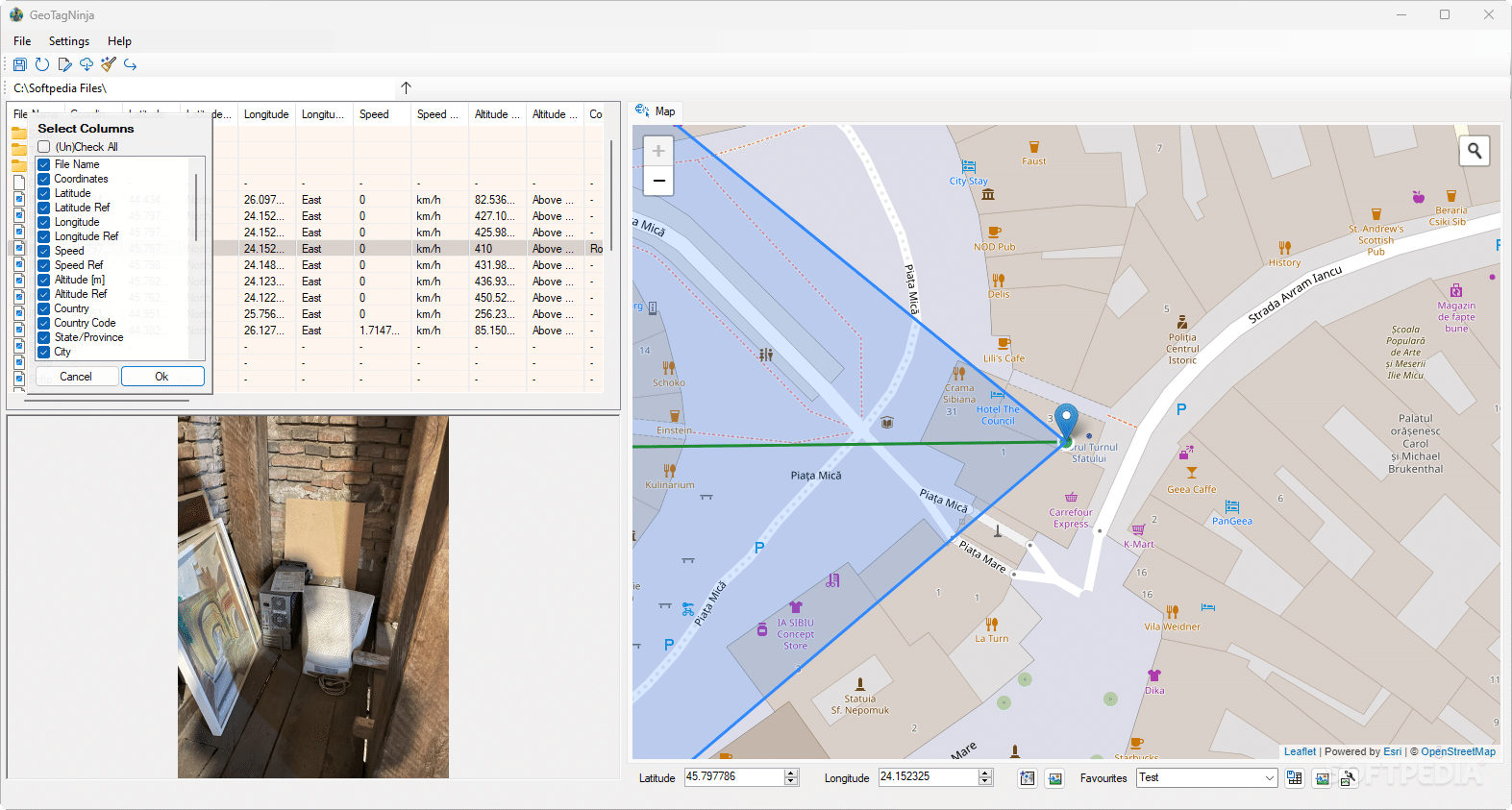
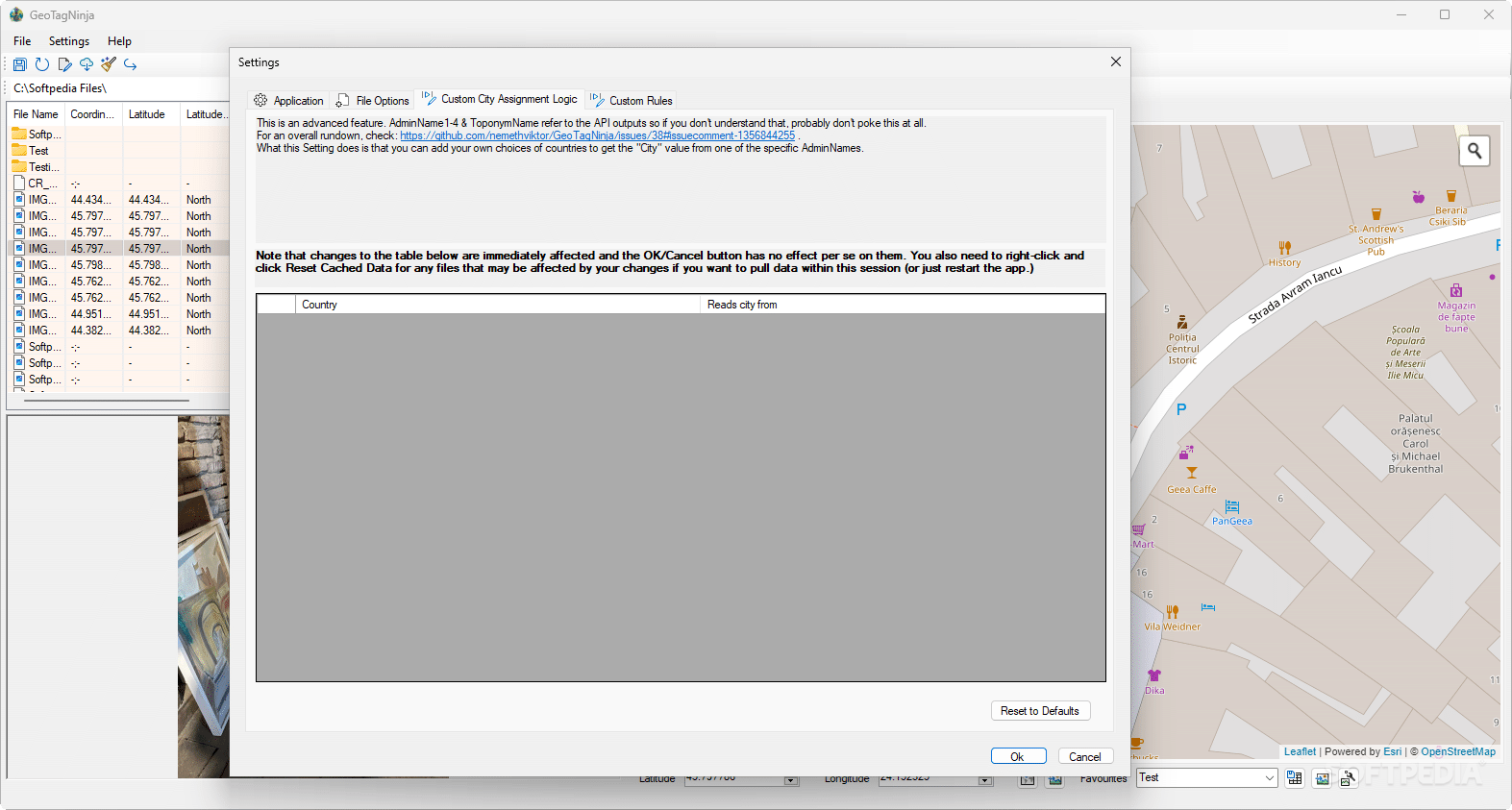
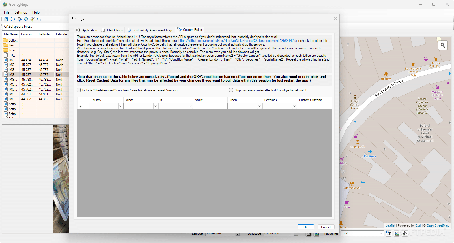
If you're curious about your geotagged photos or want to tweak some details, GeoTagNinja makes it super easy! Its user-friendly interface has a map that shows the exact spot for each shot. You’ll get the hang of it quickly—just set up the folder where your photos live, and you're ready to go!
Easily Access Location Data
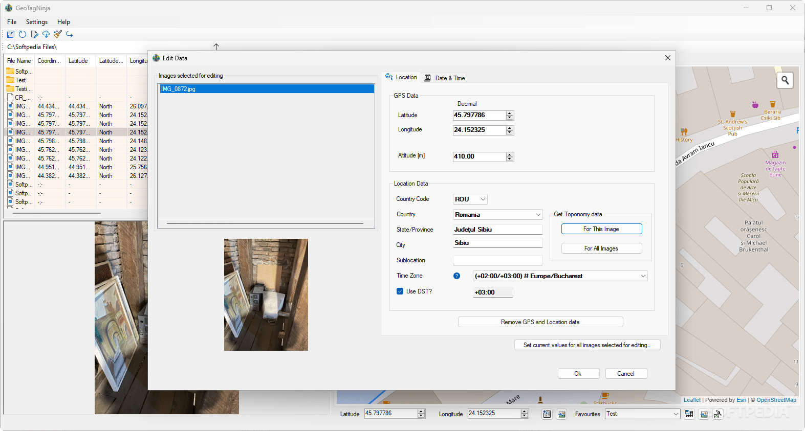
When you click on a photo in GeoTagNinja, it pops up with its location data based on latitude and longitude. Depending on your camera, this info might be spot-on or a little off. No worries if you need to fix it! You can edit this GPS data through the Edit Data menu. This lets you manually set the coordinates for those shots that weren’t tagged at all.
Batch Geotagging Made Simple
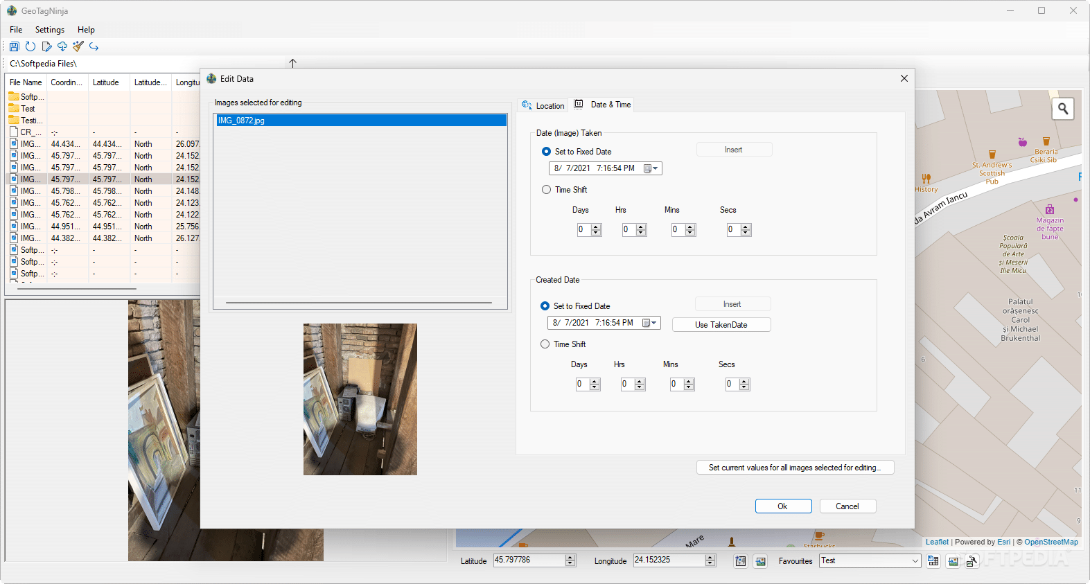
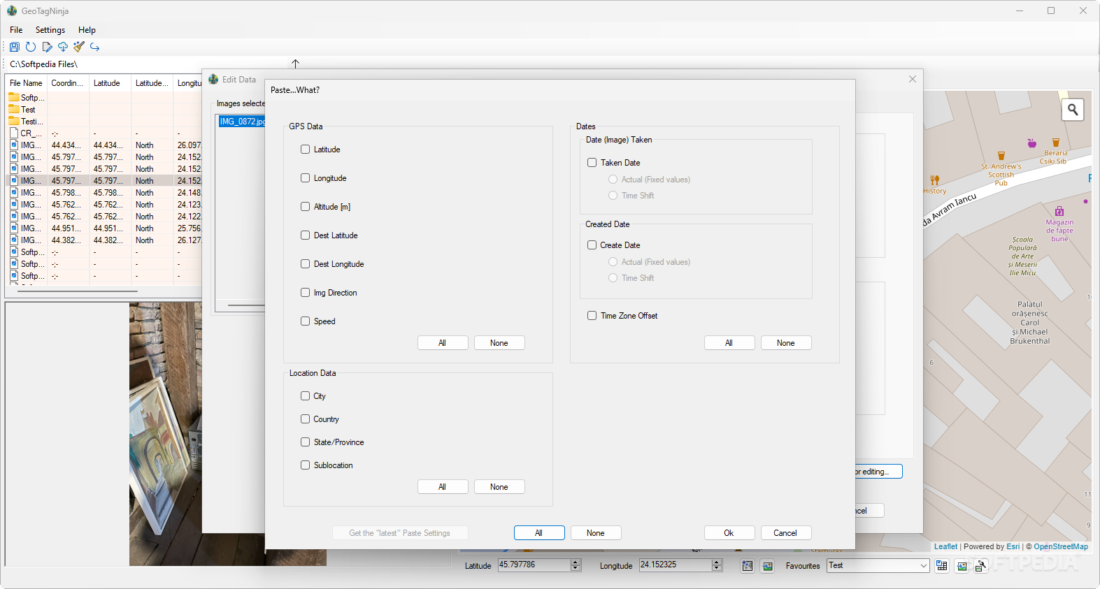
You can also batch geotag multiple photos at once! Just pick the ones you want to change and open the Edit Data menu again. Want to apply one photo's info to others? Simply use the option called Set current values for all images selected for editing. You'll choose what specific data—like GPS locations or dates—you want to copy over.
Add More Features with GeoNames
If you connect your GeoNames account, you'll unlock even more features! One cool thing is getting detailed place names for your pictures.
The Bottom Line on GeoTagNinja
GeoTagNinja is definitely worth checking out if you're into organizing your photography better. The batch editing feature really shines here, but there’s plenty more that could benefit your photo management needs. For more info or to download it, check out this Download GeoTagNinja!
User Reviews for GeoTagNinja 7
-
for GeoTagNinja
GeoTagNinja is a handy tool for managing geotagged photos. Batch editing feature is a standout; interface is user-friendly.
-
for GeoTagNinja
GeoTagNinja is a fantastic app! The batch geotagging feature is a game-changer for organizing my photos.
-
for GeoTagNinja
Absolutely love GeoTagNinja! It makes adding location data to my photos so easy and intuitive.
-
for GeoTagNinja
This app is amazing! The map interface helps me visualize where my shots were taken effortlessly.
-
for GeoTagNinja
GeoTagNinja has simplified my photo management. The ability to edit and batch process is incredibly useful.
-
for GeoTagNinja
Highly recommend GeoTagNinja! It's user-friendly and allows me to enhance my photo metadata easily.
-
for GeoTagNinja
GeoTagNinja is a must-have for photographers. Easy navigation and powerful features make it five stars!

