


Description
Google Earth Pro
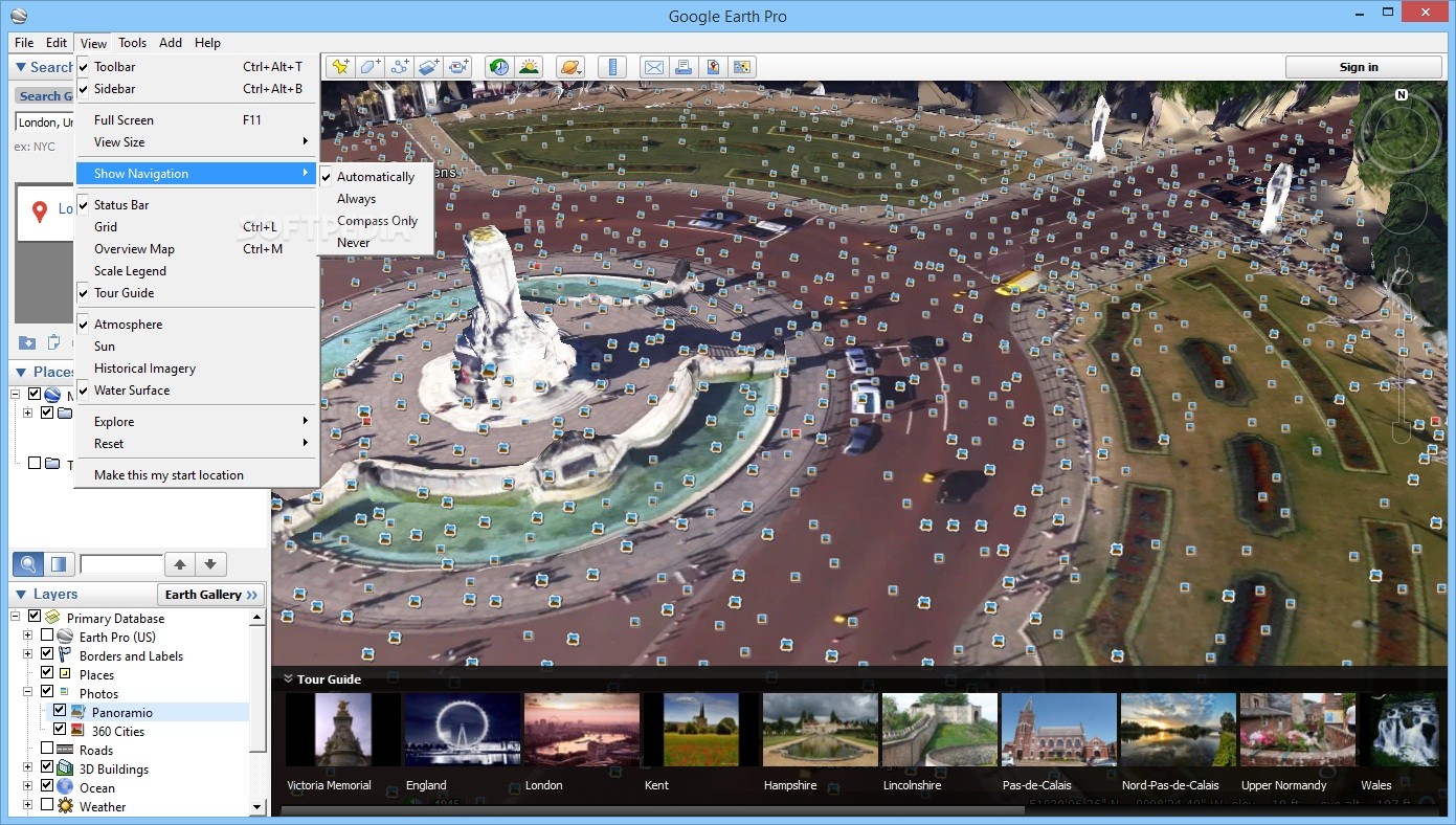
Google Earth Pro is packed with the same awesome features and stunning images you get from Google Earth. But wait, there’s more! It also has some cool extras designed just for business folks. You can measure distances, areas, and even get 3D views. Plus, it lets you record videos of your findings!
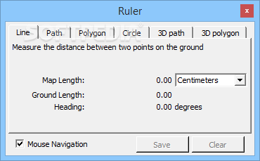
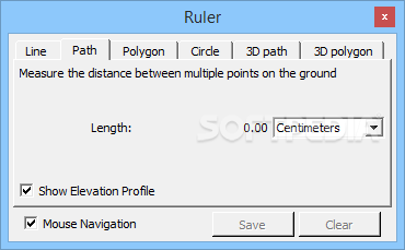
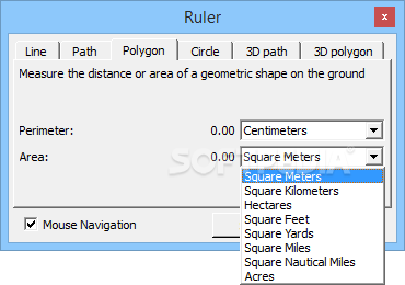
Measure Distances Easily
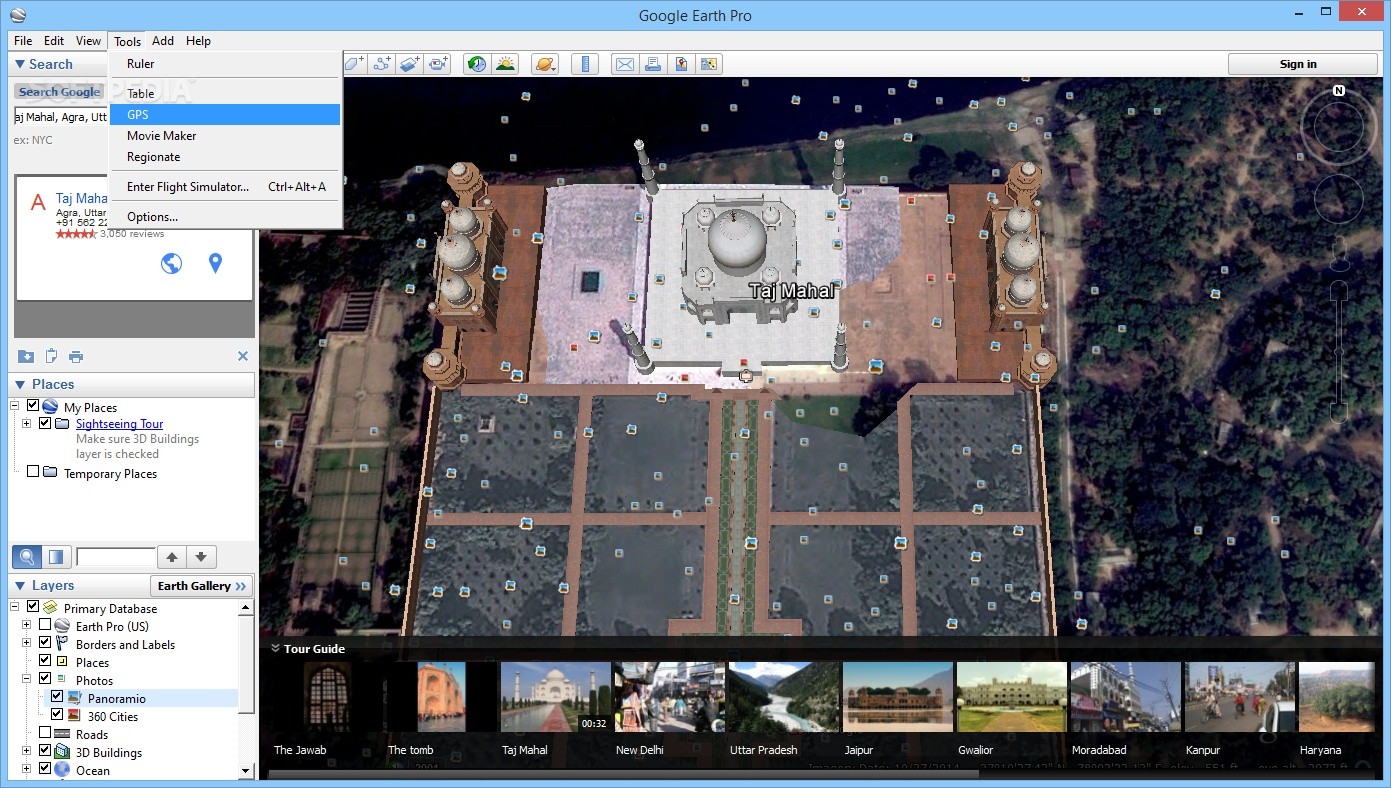
This software makes it super easy to calculate distances in feet, miles, kilometers, acres—you name it! You can measure areas and radii too. Ever wanted to find out how tall a building is? Google Earth Pro lets you do that and even helps analyze viewsheds.
Research Properties Like a Pro
If you’re looking into properties, this tool is your best friend. You can zoom in to see parcel boundaries and find out details like sold prices, zoning information, square footage, and so much more. It even shows demographic data on thematic maps—think age groups, income levels, education stats—for your state or neighborhood.
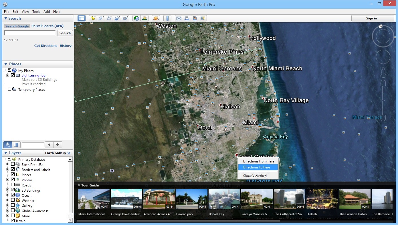
Viewshed Tool for Insightful Analysis
The viewshed tool is fantastic for checking out viewpoints. You can measure distances and get a full 360-degree line of sight with color-coded 3D views. And guess what? You can also visualize historical traffic trends right on the globe!
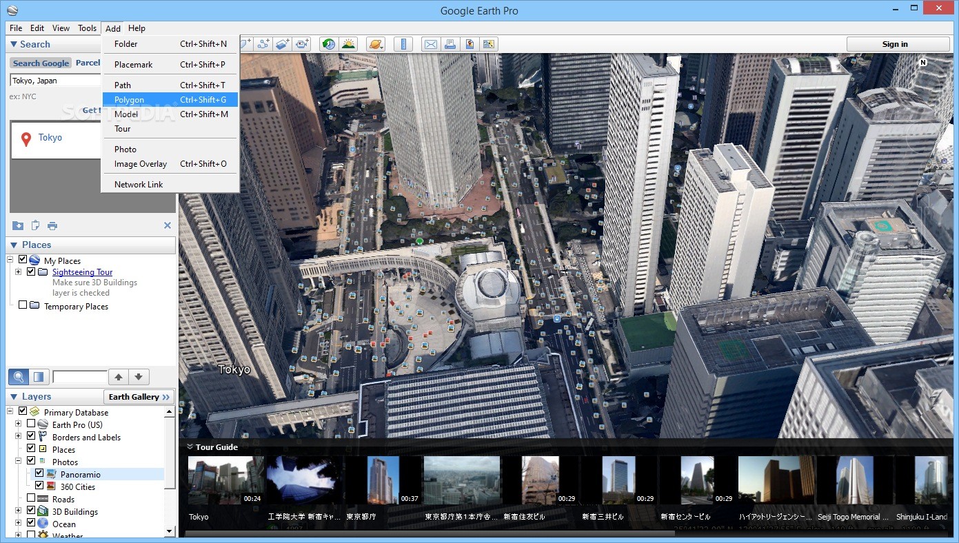
Importing Data Made Easy
You can import different file types like ESRI Shape (SHP), MapInfo (TAB), or Keyhole Markup Language (KML). Got big images? No problem! They get optimized automatically and can be split into tiles. You can even pull addresses from CSV files to create custom thematic maps with colors and titles!
Create & Share Stunning Maps
This application allows you to record and save amazing 3D imagery in real time. Export videos as WMV or AVI files or save them as images while following camera viewpoints across multiple locations. Want to share your creations? Easily publish data on websites or send them via email.
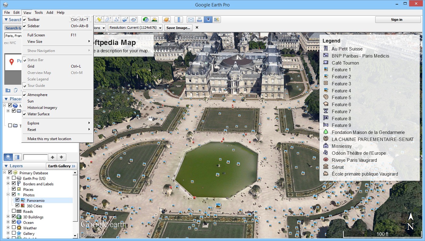
Your Mapping Projects at Your Fingertips
Create maps directly from Google Earth Pro with all the bells and whistles—legends, HTML tags, directional indicators, scales—everything! You can print them out or export them as PDFs or image files. Plus, keep your projects organized by saving them in KML format.
A Must-Have Tool!
If you're after high-resolution images or need tools for measuring polygons or circles—or just want to make fantastic maps—Google Earth Pro is totally worth checking out!
User Reviews for Google Earth Pro 7
-
for Google Earth Pro
Google Earth Pro is a powerhouse for business users with advanced measurement tools, thematic maps, and data layers. Perfect for property research and map creation.
-
for Google Earth Pro
Absolutely love Google Earth Pro! The measurement tools are incredibly useful for my projects.
-
for Google Earth Pro
This app is a game changer! The ability to visualize data in 3D is fantastic for research.
-
for Google Earth Pro
Google Earth Pro has exceeded my expectations. The demographic maps provide valuable insights!
-
for Google Earth Pro
Impressive features! I can measure distances and create stunning maps with ease. Highly recommended!
-
for Google Earth Pro
A must-have tool for anyone interested in geography. The video recording feature is simply amazing!
-
for Google Earth Pro
Google Earth Pro is an essential app for my work! The data layers and measurement options are top-notch.