
Description
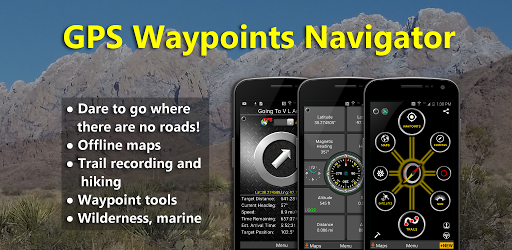
GPS Waypoints Navigator | MAPS
Product Description
Convert your phone into a powerful GPS and find your way with confidence in the wilderness, at sea, or in the city. GPS Waypoints Navigator offers dozens of options for navigating the back-country, waterways, and roadways. Venture beyond network reach using offline maps and tools that only require a good view of the sky. Create and organize waypoints, record trails, and share location data with friends.
Key Features:
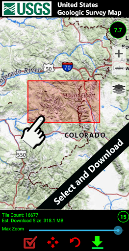
- Unlimited access to our 3D vector map library with over 400 maps
- Searchable waypoint and trail management systems
- Waypoint photojournal to attach notes and photos to your waypoints
- Multiple map sources including Google Maps, Topo Maps, and more
- KML, GPX, and KMZ file importing and exporting
- Weather Maps with live Doppler radar and cloud patterns
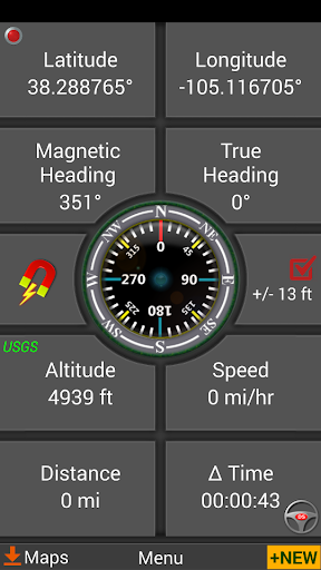
- Navigational and waypoint compasses
- Trail recording and drawing board
- Supports various coordinate formats
- Altitude profiles and proximity alerts
- Integration with Google Earth and marine navigation
Additional Benefits:
- Turn-by-turn driving directions via Google Maps
- Control settings for all compasses
- Export tracks and waypoints as GPX files
- Excellent customer service
- Supports multiple languages
Download Now
Get your hands on GPS Waypoints Navigator | MAPS and experience seamless navigation like never before. Start exploring the world with confidence!
User Reviews for GPS Waypoints Navigator | MAPS 1
-
for GPS Waypoints Navigator | MAPS
GPS Waypoints Navigator | MAPS is a must-have for outdoor enthusiasts. Its extensive features make navigating wilderness, sea, and city areas a breeze.