
Description
GPSMapEdit
GPSMapEdit is a handy little application that makes it super easy to look at and check out GPS maps in different formats. If you're into maps, this tool is perfect for you!
Easy-to-Use Layout
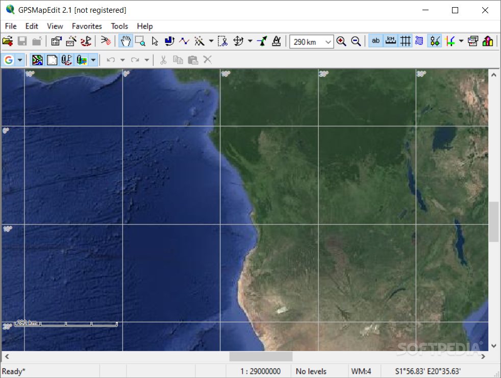
The layout of GPSMapEdit is clean and straightforward. You can just drag and drop items into the main panel or use the built-in browsing feature. It's user-friendly!
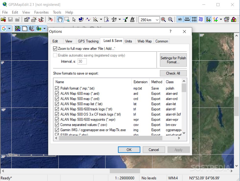
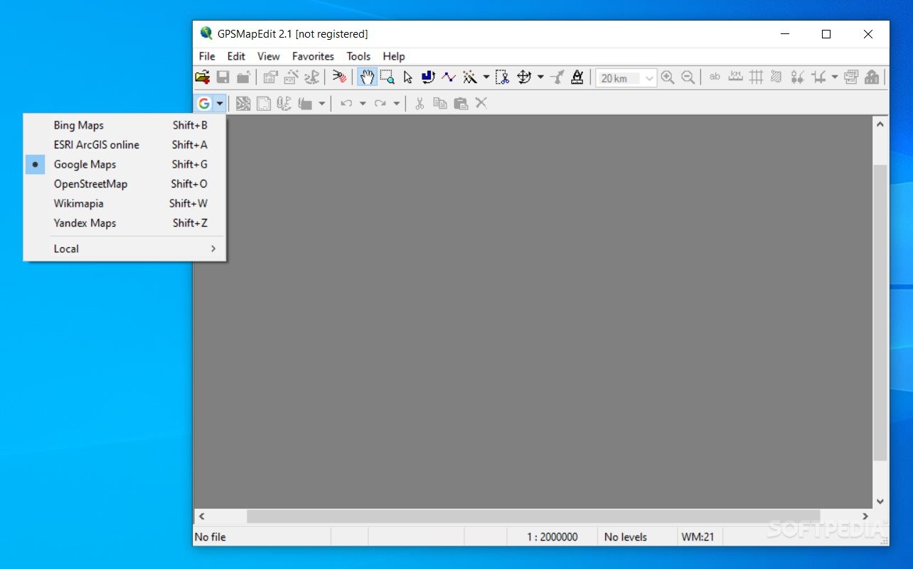
Wide Range of File Formats Supported
This software supports loads of file formats like ARD, BIN, CRD, ECW, GDB, GPX, JPEG, MAP, NTM, WRT, and many more. So no matter what type of map files you have, there's a good chance GPSMapEdit can handle them!
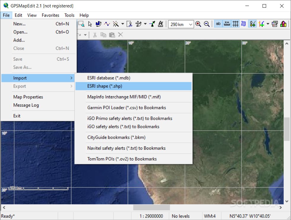
Importing Data Made Simple
You can easily import data from MDB, SHP, MIF, CSV, or OV2 file formats. Plus, it lets you create a favorites list and even rotate objects! How cool is that?
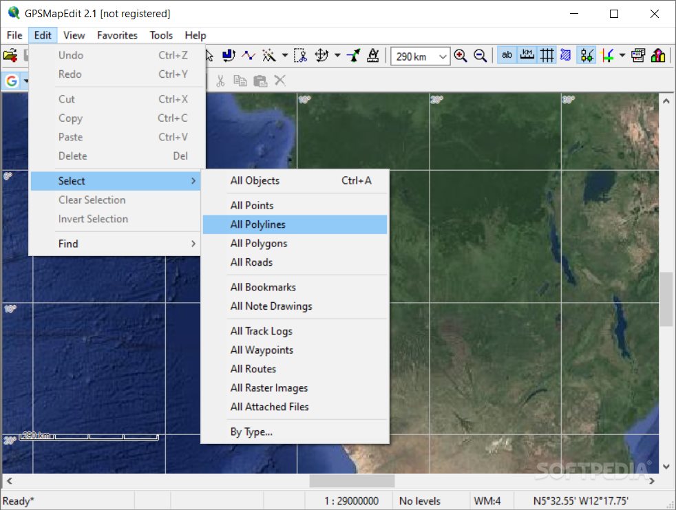
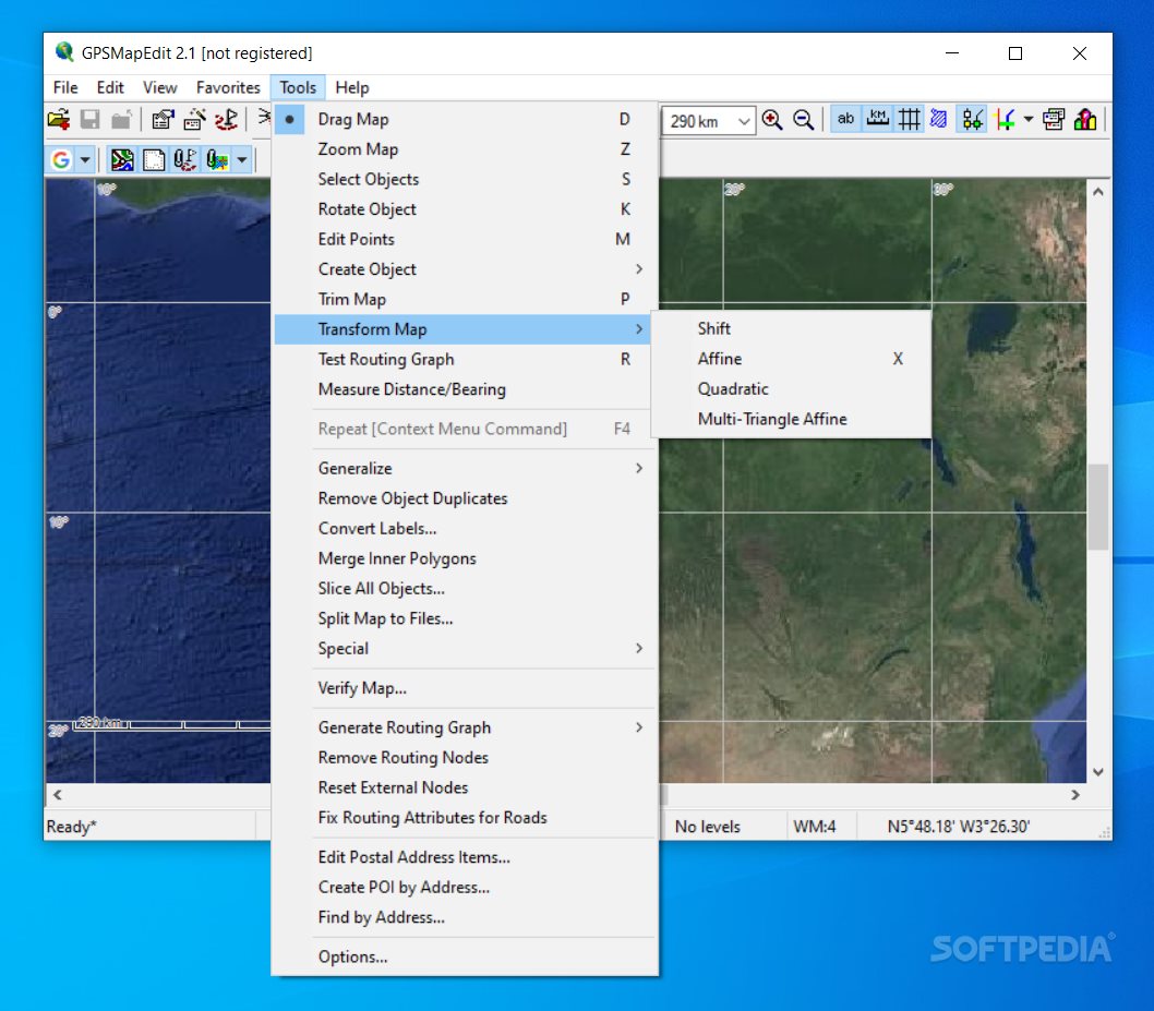
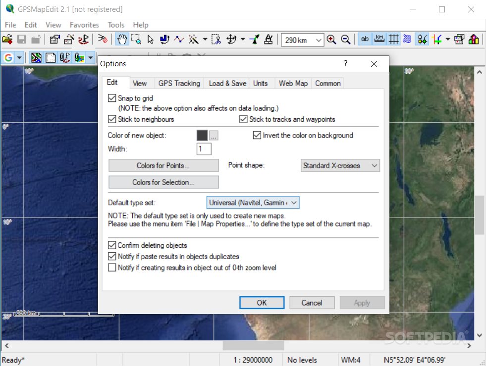
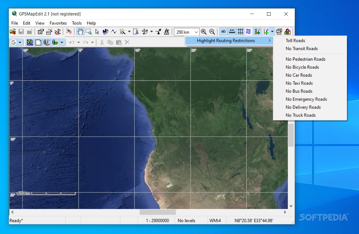
Advanced Features for Everyone
GPSMapEdit comes packed with features! You can create points on the map, trim it down to size, measure distances between points, remove duplicates and routing nodes—all sorts of things!
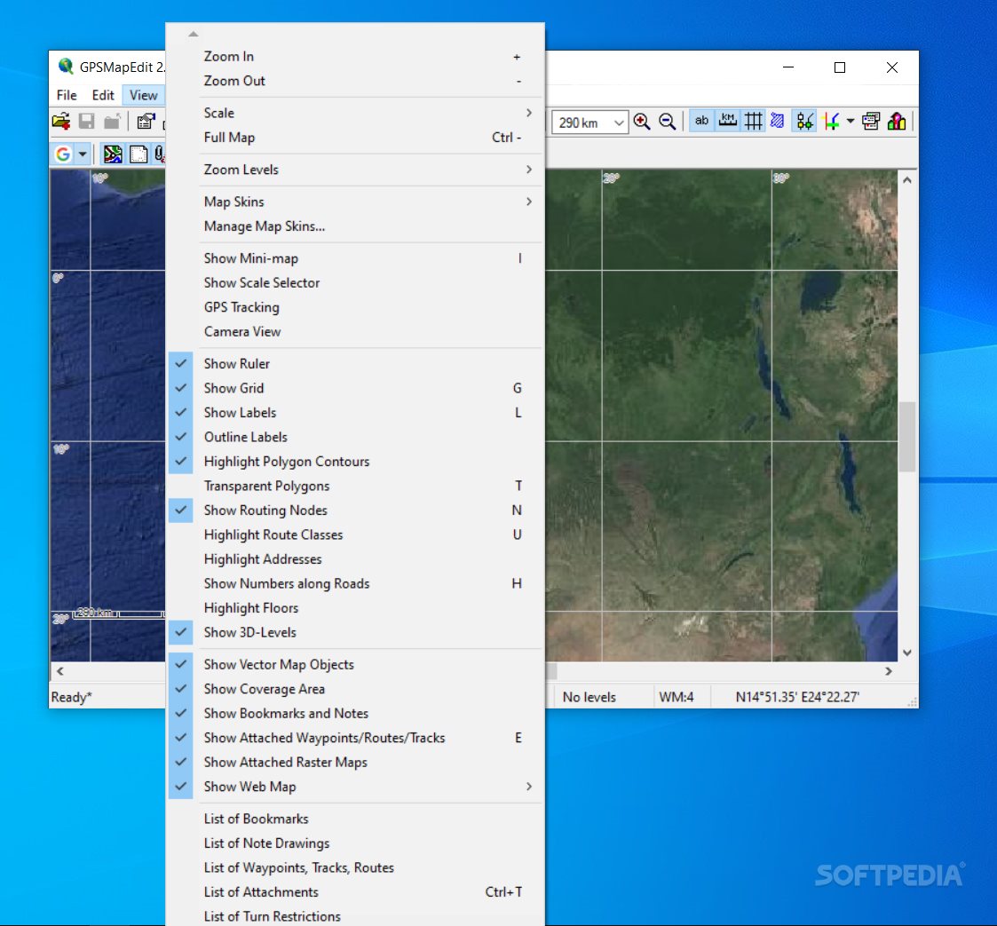
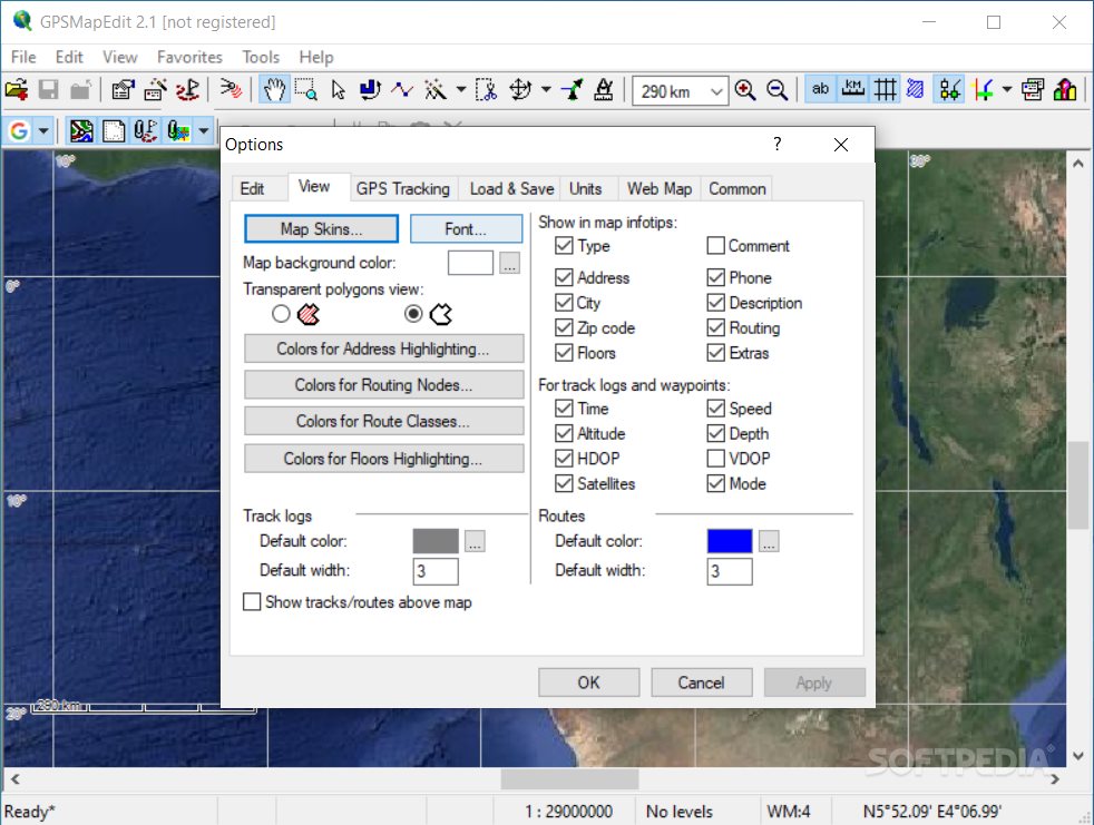
Edit Your Maps Like a Pro
You can zoom in or out to get a better view. Change up the map skin to suit your style. Want to see rulers or grids? No problem! You can also check out polygon contours and labels.
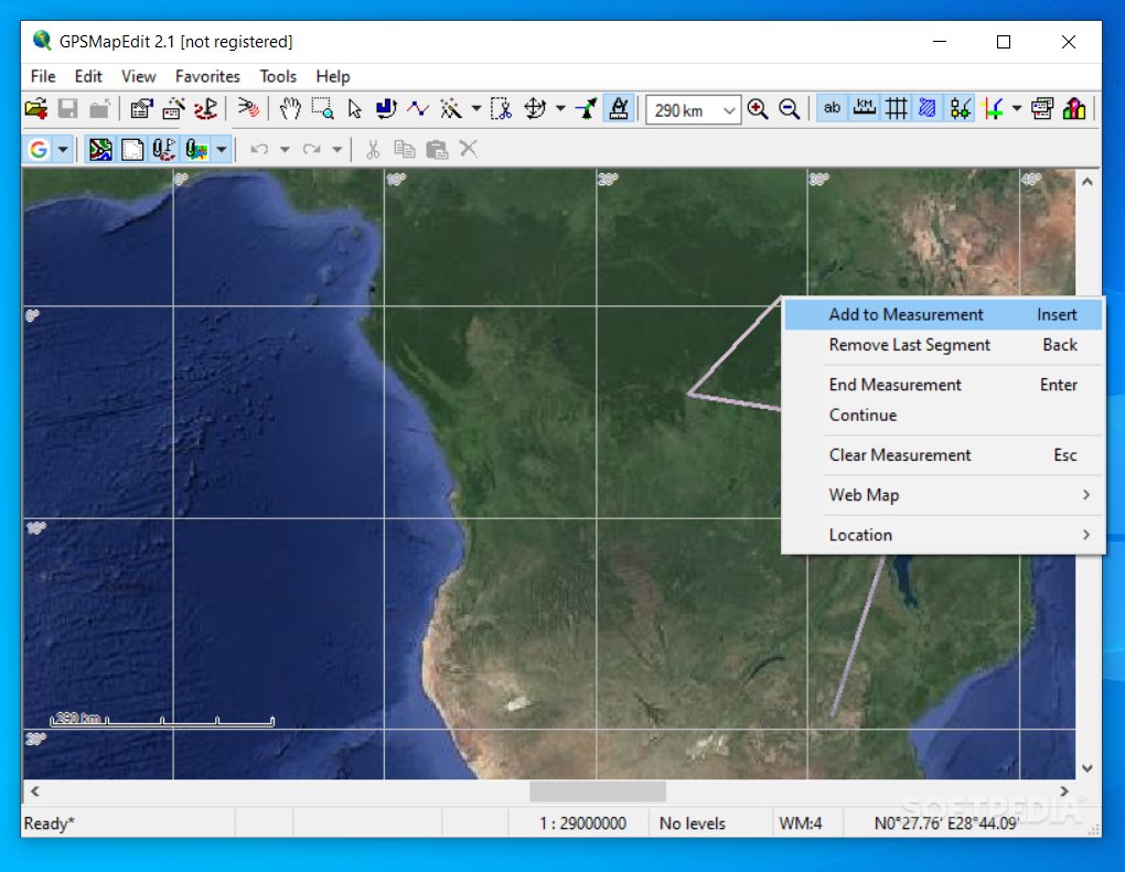
Keep Track of Your Progress
Create bookmarks and jot down notes as you go along. It even runs tests to find the shortest or fastest path for your routes! You get to choose your measurement units for distance and elevation too.
Smooth Performance Every Time
During our testing phase with GPSMapEdit, we noticed it works quickly without any hiccups throughout the process.
A Great Tool for All Users
If you're looking for an easy way to work with geographical data in a clean environment, GPSMapEdit has got your back. It's perfect whether you're just starting out or if you're already a pro!
User Reviews for GPSMapEdit 1
-
for GPSMapEdit
GPSMapEdit is a user-friendly tool with extensive file format support, efficient performance, and a variety of editing features. Highly recommended for all users.