
Description
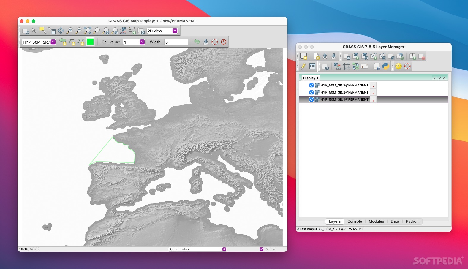
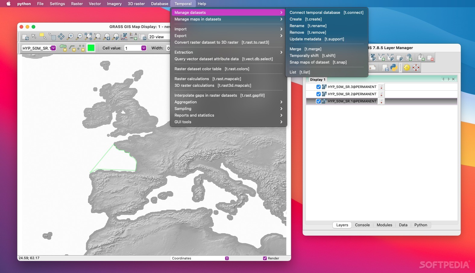
Grass GIS
Grass GIS, which stands for Geographic Resource Analysis Support System, is a solid and efficient tool for working with maps and geographical data. If you’re into image processing, geospatial analysis, or managing maps, this software has got your back!
Why Choose Grass GIS?
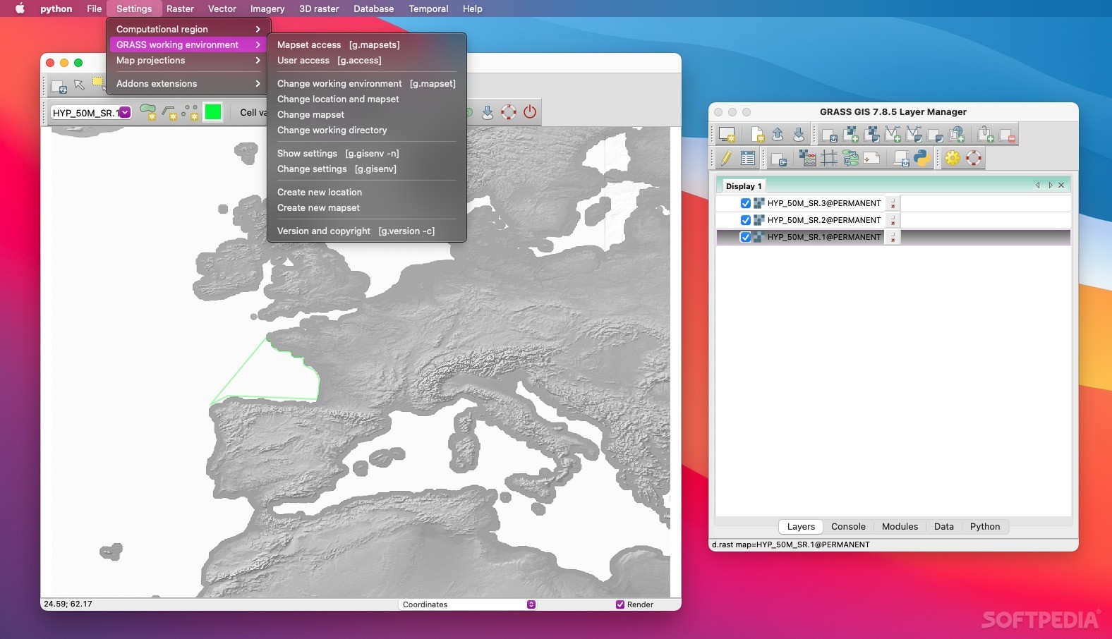
Grass GIS has a user-friendly interface that makes it super easy to navigate. Plus, it can work as a plugin for other applications like QGIS. You can interact with its modules through a special shell that the app launches or just by using regular command lines.
Cool Features of Grass GIS
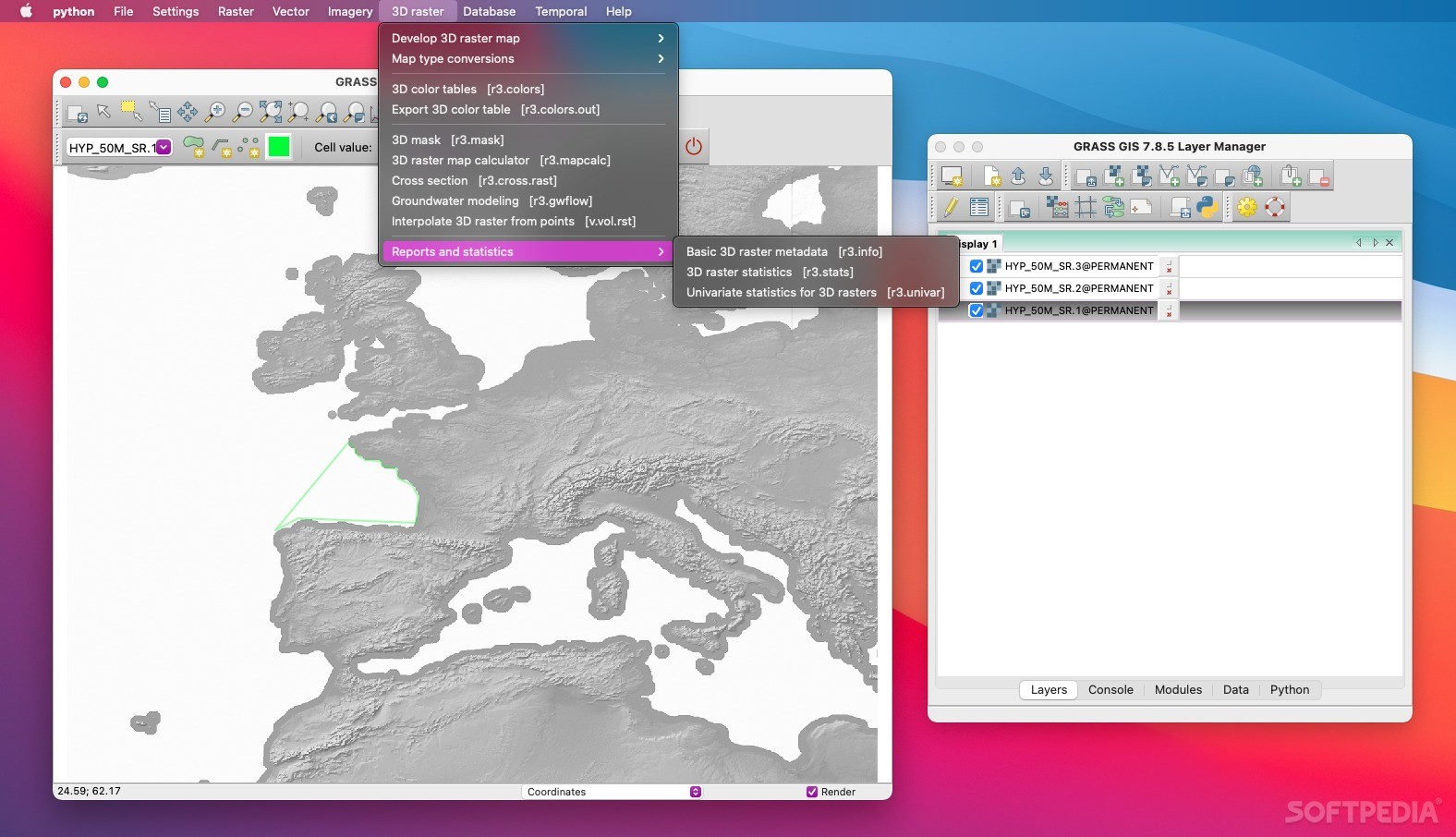
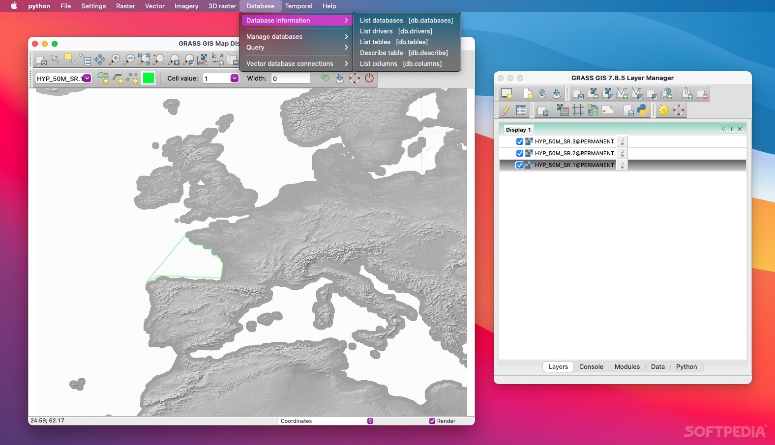
This software comes packed with a powerful 2D/3D vector engine that lets you visualize 3D vector graphics and voxel volumes. All your data attributes are saved in DBF files, and it also supports SQL-based databases like PostgreSQL, PostGIS, MySQL, and SQLite.
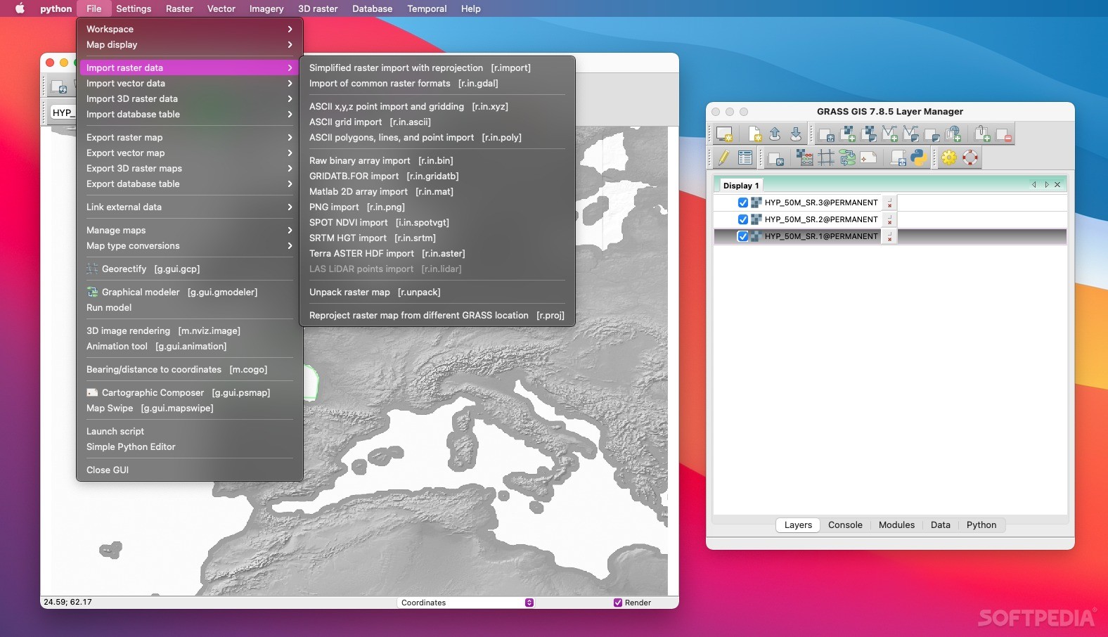
Extensive Format Support
With its binding to GDAL/OGR libraries, Grass GIS is compatible with many raster and vector formats. It also supports OGC-conformal simple features for better compatibility with other GIS tools.
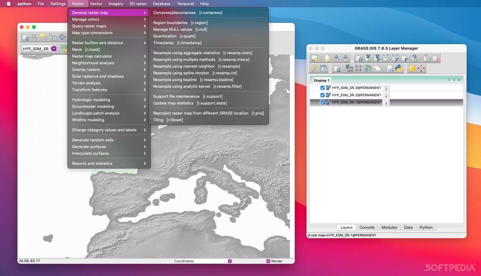
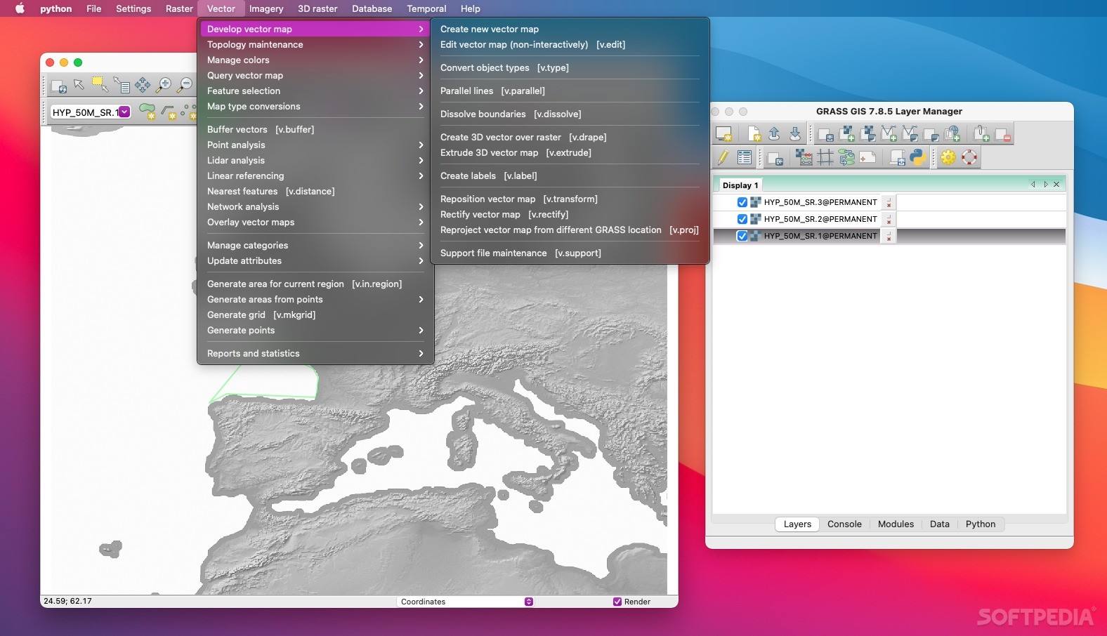
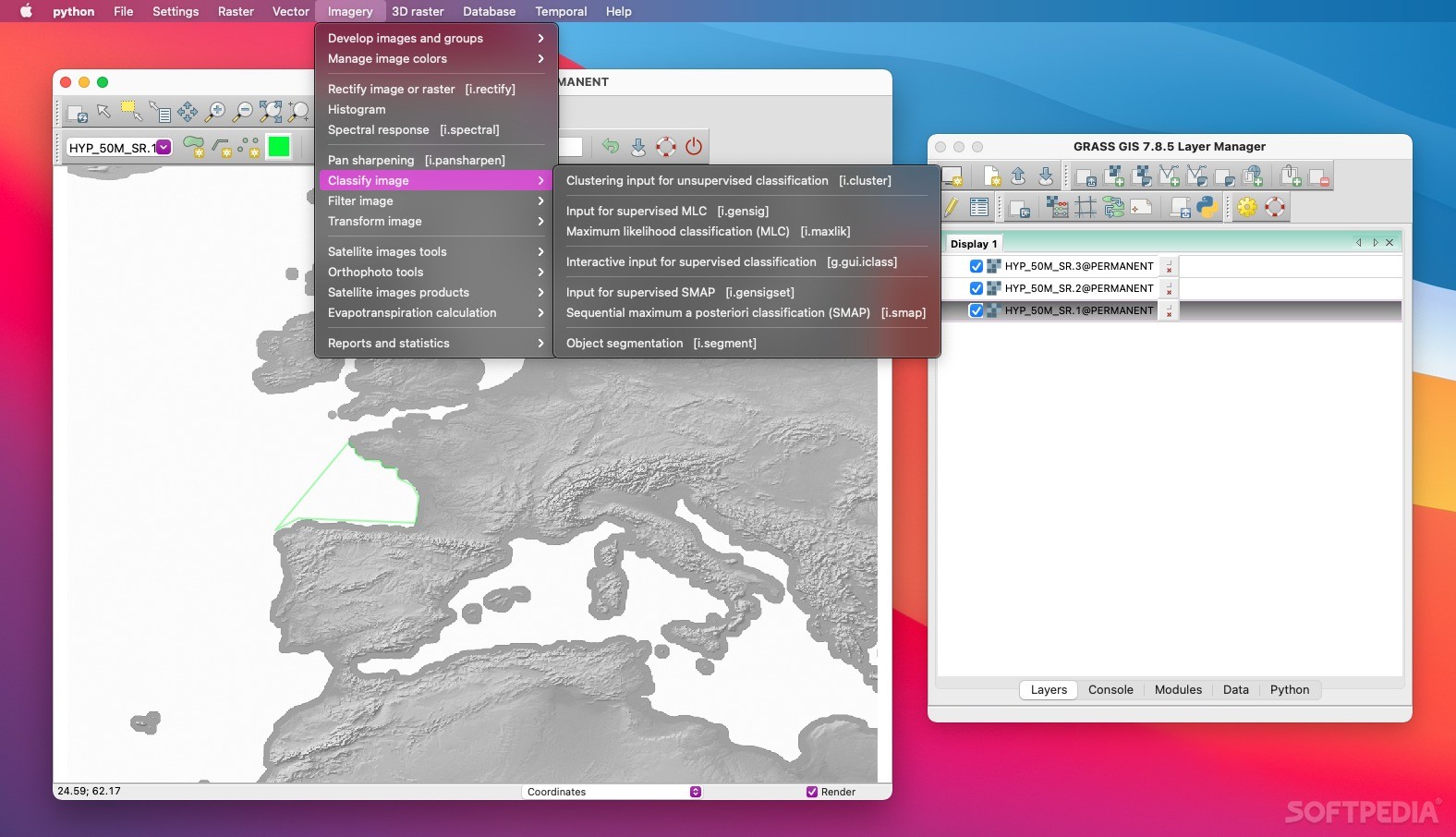
A Lot of Modules to Explore
You won’t run out of options here! Grass GIS boasts over 350 modules that help you create maps and images, manage vector networks, process multispectral images, and much more.
Create and Manage Data Easily
This software can connect with plotters, printers, digitizers, and various databases. So whether you’re creating new data or managing what you already have, Grass GIS makes it easy!
Your Go-To Tool for Image Processing
If you're looking to process images or geocode raster and vector maps on your Mac while visualizing 3D surfaces—look no further! Grass GIS is the tool you need for all these tasks.
If you're ready to get started with Grass GIS, check it out on SoftPas! It's part of various download collections like GIS Tools.
User Reviews for Grass GIS FOR MAC 7
-
for Grass GIS FOR MAC
Grass GIS for Mac is a comprehensive GIS tool for image processing, geospatial data analysis, and visualization. Its topological vector engine and module variety are impressive.
-
for Grass GIS FOR MAC
Grass GIS is a game changer! The intuitive interface and powerful tools make geospatial analysis so easy.
-
for Grass GIS FOR MAC
Absolutely love Grass GIS! It has everything I need for image processing and data visualization. Highly recommend!
-
for Grass GIS FOR MAC
This app is fantastic! With over 350 modules, it provides robust capabilities for all my GIS needs. Five stars!
-
for Grass GIS FOR MAC
Grass GIS has transformed how I work with maps and spatial data. The 3D visualization features are impressive!
-
for Grass GIS FOR MAC
I'm amazed by the functionality of Grass GIS. It's user-friendly and supports various formats—truly a must-have tool!
-
for Grass GIS FOR MAC
What an incredible app! Grass GIS combines power and ease of use, making complex geospatial tasks manageable and fun.