

Description
HEMS Tool Description
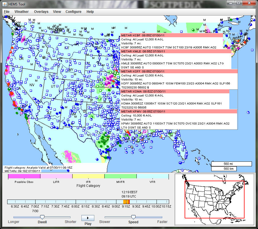
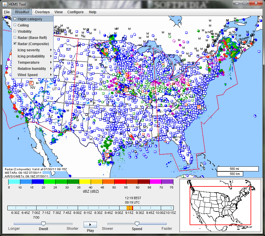
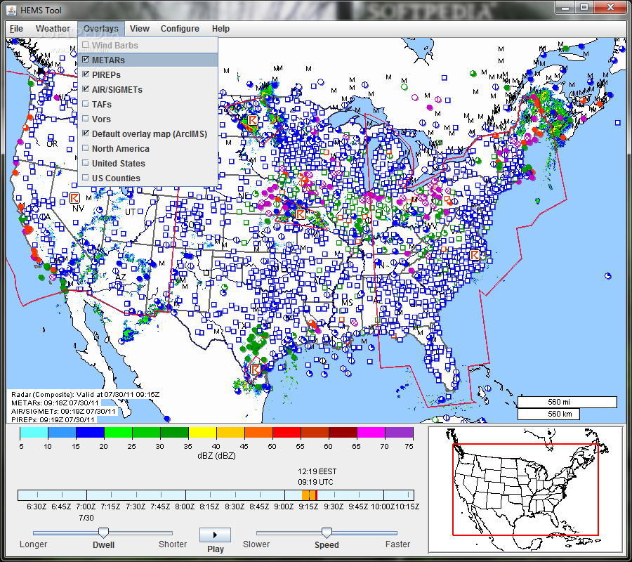
The HEMS (Helicopter Emergency Medical Services) Tool is a comprehensive software solution designed to assist users in overlaying multiple fields of interest related to aviation and weather data. This tool integrates critical information such as ceiling, visibility, flight category, winds, relative humidity, temperature, radar (base and composite reflectivity), AIRMETs and SIGMETs, METARs, TAFs, and PIREPs for enhanced situational awareness during emergency medical service flights.
Key Features:
- Interpolated 3D data to AGL altitudes
- Horizontal slicing at 500 ft intervals up to 5000 ft
- Time animation of all data
- High-resolution basemaps with detailed street, hospital, and heliport information for the entire United States
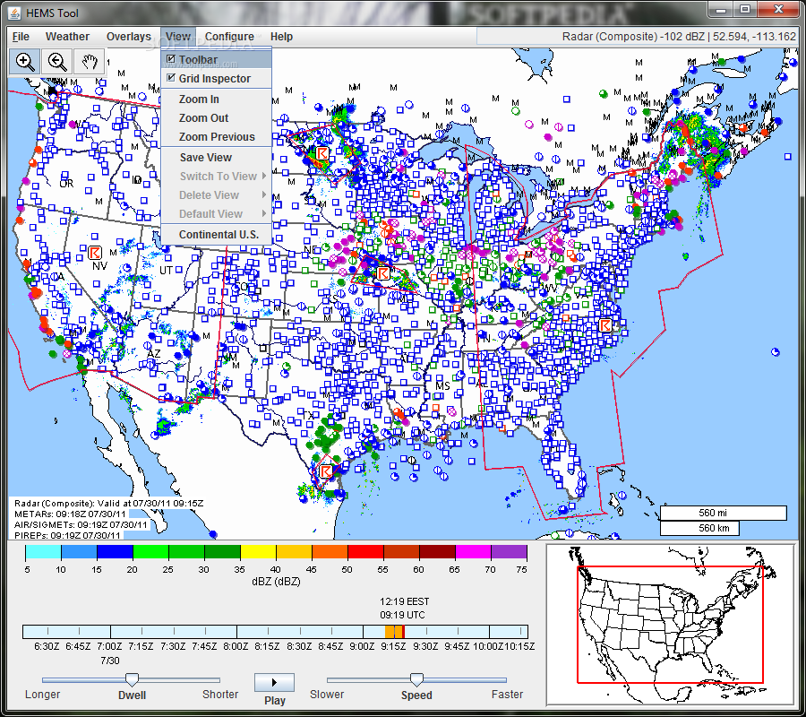
- Zoom functionality to reveal more detailed mapping
- Save preferred views for quick recall
The HEMS Tool offers users the ability to visualize complex data sets in an intuitive manner, allowing for quick decision-making and effective flight planning. By utilizing this tool, users can optimize their emergency medical service operations and enhance overall safety and efficiency.
Experience the HEMS Tool:
Start using the HEMS Tool today to experience its full capabilities and discover how it can elevate your operational efficiency. Take advantage of the detailed mapping features, data interpolation, and time animation to make informed decisions during emergency medical service flights.
Developed by the National Center for Atmospheric Research, the HEMS Tool is a reliable software solution for professionals in the aviation and emergency medical service industries. Download it for free and revolutionize your approach to flight planning and weather analysis.
Get the HEMS Tool from SoftPas.com today!
User Reviews for HEMS Tool 7
-
for HEMS Tool
HEMS Tool offers detailed weather and airspace information crucial for helicopter emergency services. Impressive high-resolution basemaps enhance operational efficiency.
-
for HEMS Tool
Absolutely love the HEMS Tool! The data overlays are incredibly useful for planning and safety.
-
for HEMS Tool
This app is a game-changer for emergency medical services. The high-resolution maps are super detailed!
-
for HEMS Tool
An essential tool for any flight team! The ability to animate weather data is fantastic.
-
for HEMS Tool
The HEMS Tool has made my job so much easier. Quick access to critical information is a lifesaver!
-
for HEMS Tool
Five stars! This app provides everything we need for safe and efficient helicopter operations.
-
for HEMS Tool
Incredible functionality! I appreciate how easy it is to save preferred views for quick access later.