Description
MapInfo Professional
MapInfo Professional is a fantastic mapping and GIS analysis tool that gives you a ton of features for handling geography and topology data. It helps you create detailed, easy-to-understand maps and reports that look great!
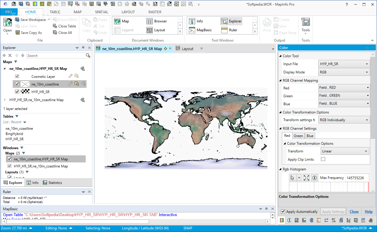
Easy to Use Layout
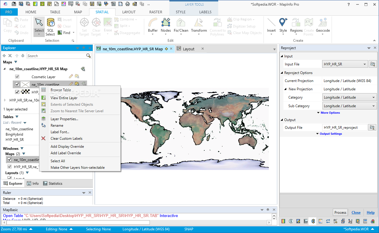
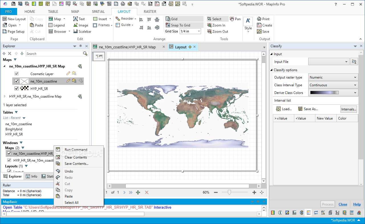
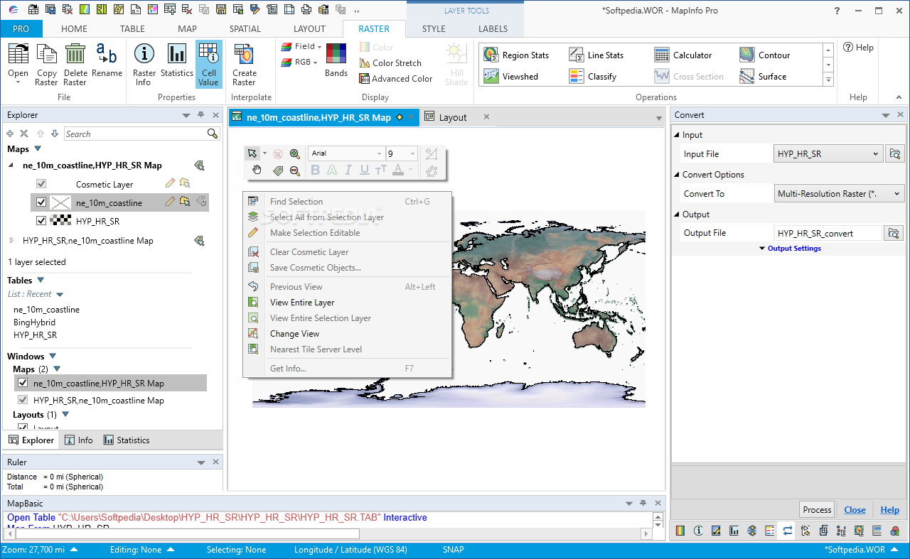
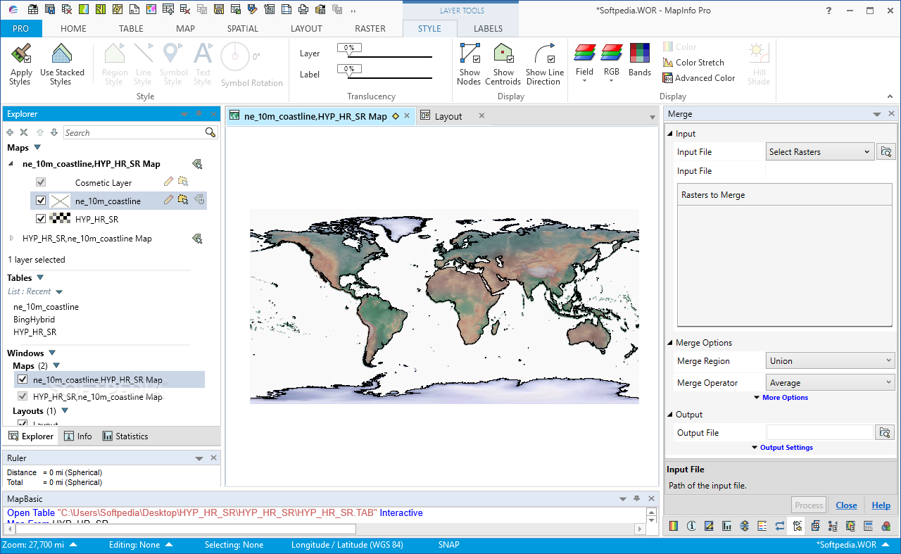
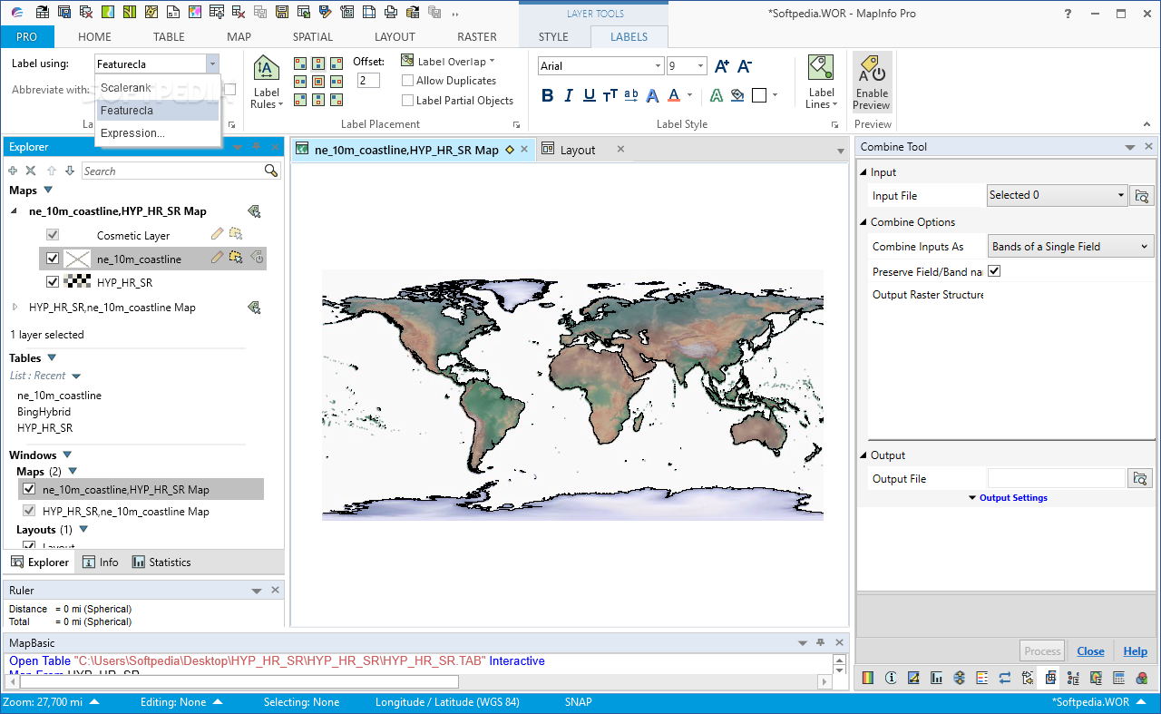
The layout of MapInfo Professional is super user-friendly. You can quickly find everything you need from its main interface. The software's main goal is to help improve how we use infrastructure and make better decisions.
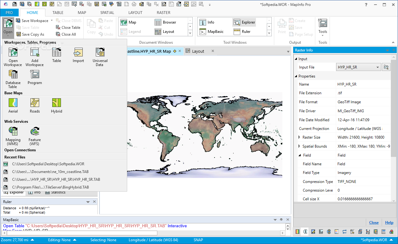
Importing Data Made Simple
You can easily import data from different sources like spreadsheets, databases, and CSV files. Plus, it works with raster and grid images! It even supports ODBC and FDO connections, along with files from other CAD programs. There's also a built-in catalog browser that lets you access geospatial data from online resources, making it easier than ever to get the information you need.
A Toolbox Full of Features
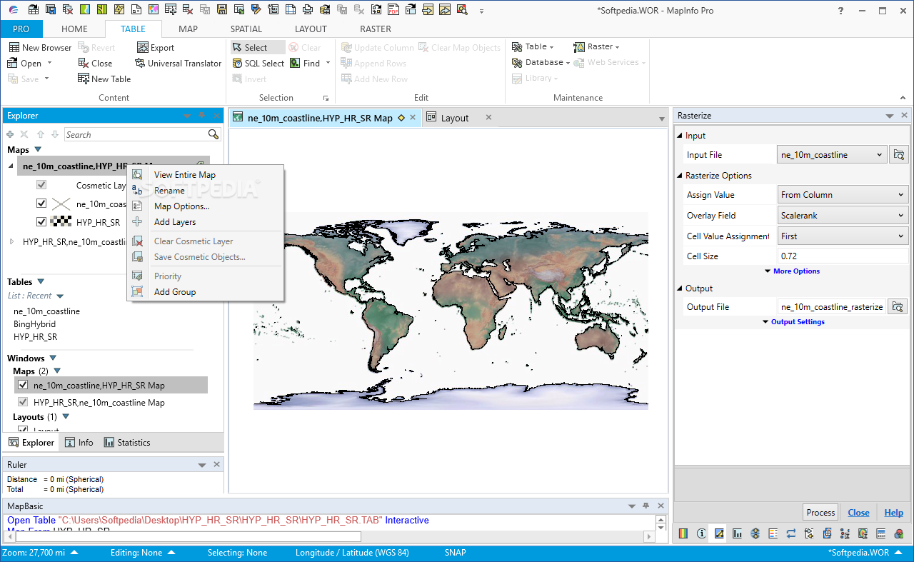
The toolbox in MapInfo Professional is loaded with cool CAD tools. You can use various drawing instruments like basic shapes, text boxes, lines, and more! Managing layers for each table is straightforward too; you can organize objects, symbols, regions, points, lines—basically everything!
Edit Data Easily
You can edit data content directly on the map view or switch to graph or table views if that's more your style. If you've used spreadsheet programs before, you'll feel right at home with this feature! The graph mode helps show off any statistical connections nicely.
Create Stunning Maps
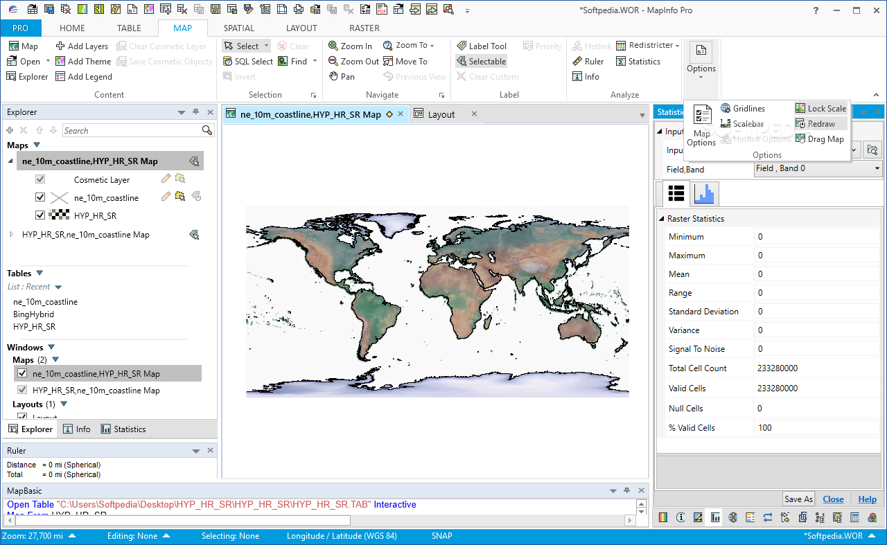
MapInfo Professional allows for thematic and prism maps while offering advanced zooming options too. Its enhanced rendering capabilities mean you can produce high-quality GIS images that are ready for presentations or publications.
Transform Complex Data
This software makes it easy to turn complicated datasets with geographical elements into visual representations that everyone can understand. So whether you're working on a project or just want to visualize some data better,download MapInfo Professional today!
User Reviews for MapInfo Professional 18
-
for MapInfo Professional
MapInfo Professional offers a rich set of GIS tools. Its simple layout enhances usability, making data processing and decision-making more efficient.
-
for MapInfo Professional
MapInfo Professional offers comprehensive geospatial data analysis features, but has a steep learning curve.
-
for MapInfo Professional
MapInfo Professional stands out for its powerful mapping and location analytics features. It has a bit steep learning curve.
-
for MapInfo Professional
MapInfo Professional enables advanced geographical data analysis, but lacks some user-friendliness that beginners may require.
-
for MapInfo Professional
MapInfo Professional offers robust GIS and mapping functionalities, though it may have a steep learning curve.
-
for MapInfo Professional
MapInfo Professional delivers a potent combination of GIS powered analytics and versatile mapping capabilities.
-
for MapInfo Professional
MapInfo Professional efficiently visualizes and analyzes spatial data. User-friendly but would benefit from improved updates.

