

Description
Maps Altimeter
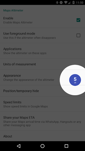
Maps Altimeter is an innovative app that shows your current altitude on top of any app you are using. With its elegant overlay displaying an altimeter, you can easily track your altitude without having to switch between apps.
Features:
- No advertisements!
- No internet access necessary, ensuring your privacy is protected
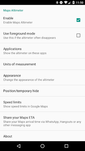
- Automatically shows and hides when a chosen app is active
- Toggle display based on Bluetooth connection status
- Choose between meters and feet for altitude measurement
- Hide the overlay for 10 seconds by touching it
- Adjustable transparency, size, colors, and text styles
- Drag the altimeter to any position on the screen
- Compatible with any app installed on your device
Contact Us:
If you encounter any issues with Maps Altimeter, please reach out to us. We are committed to resolving any problems for the next release.
Permissions:
- Display system-level alerts: This app remains active in the background without draining your battery
- Draw over other apps: Maps Altimeter can overlay information on top of other apps
- Precise location (GPS and network-based): Essential for reading location and speed data from your device's GPS chip
Maps Altimeter is developed by Amphebia, a trusted name in app development. Download Maps Altimeter today for a seamless altitude tracking experience!
User Reviews for Maps Altimeter 1
-
for Maps Altimeter
Maps Altimeter is a handy tool, showing altitude elegantly on any app. Customizable features like size and colors make it user-friendly.