
Description
MapTiler
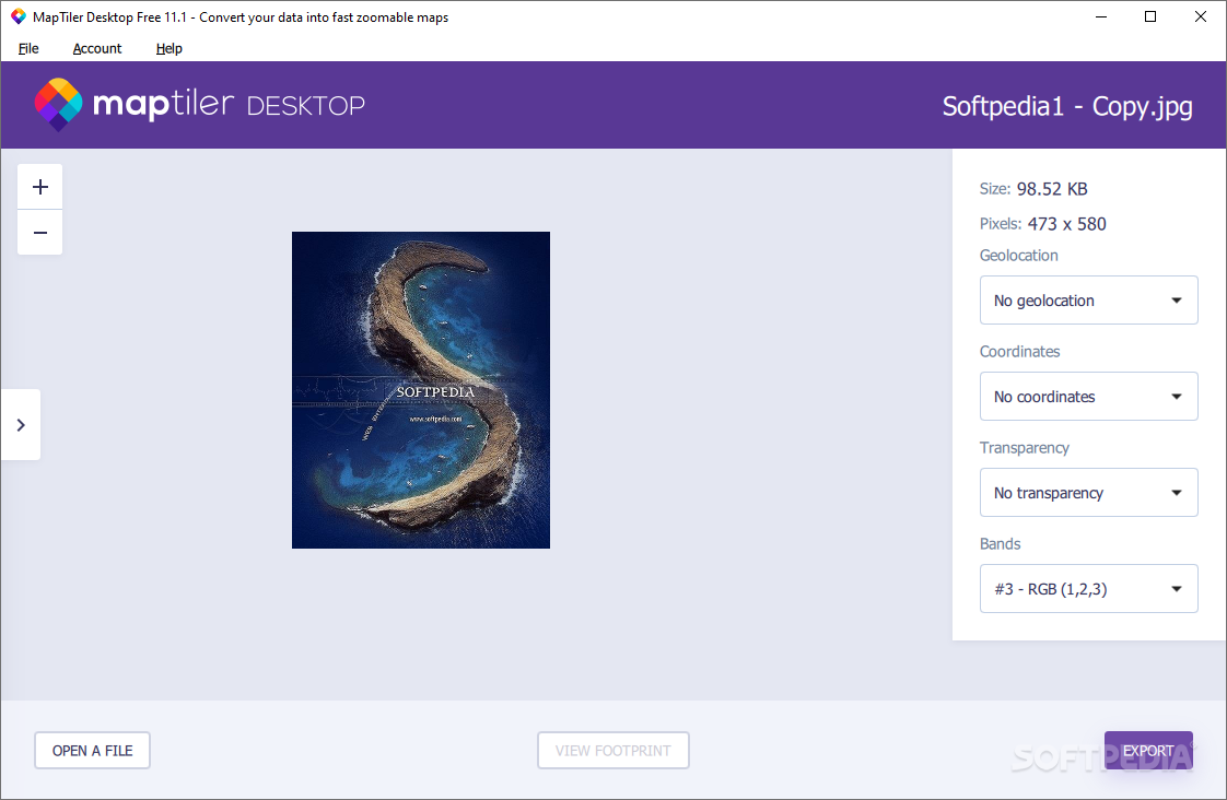
MapTiler is a cool tool for anyone who loves sharing stories through maps and images. If you've ever tried to use map software and felt lost, you're not alone! This app makes it super easy to prepare your maps for different devices or services like Google Maps. With MapTiler, you can process your images and find their location using a simple georeferencing process.
Easy Image Processing
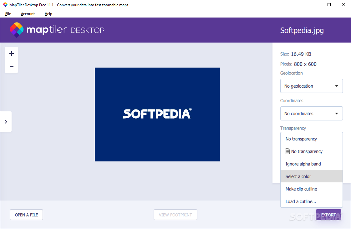
The app has a wizard-like interface that guides you through image processing. You just upload your images, and the best part? MapTiler supports many formats like TIFF, GeoTIFF, ECW, JPEG2000, Erdas HFA, and more!
Select Your Device or Service
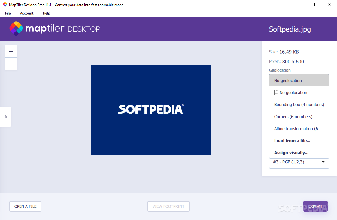
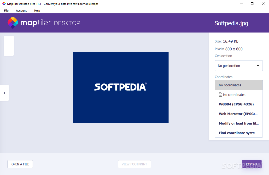
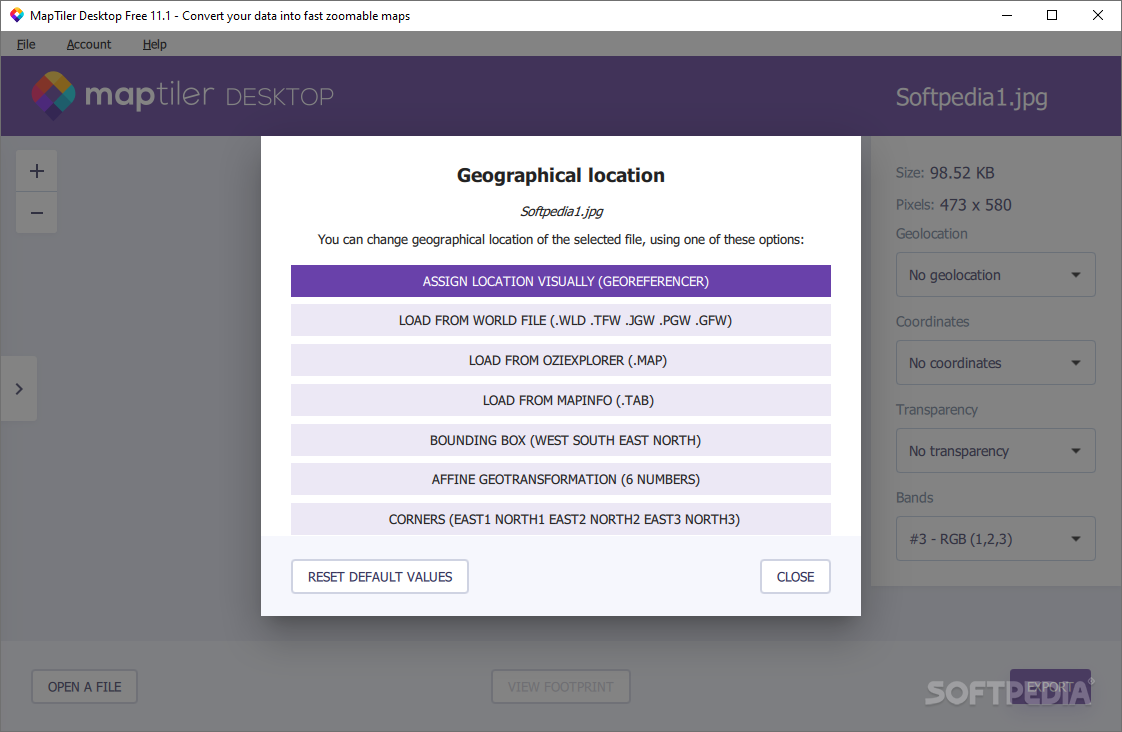
After adding your map images, you can choose where you want to use them—like on a specific device or service. It even helps you determine the right location by supporting the EPSG coordinate system and providing a database of datums. Just type in the country or region you're interested in!
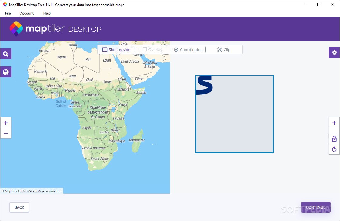
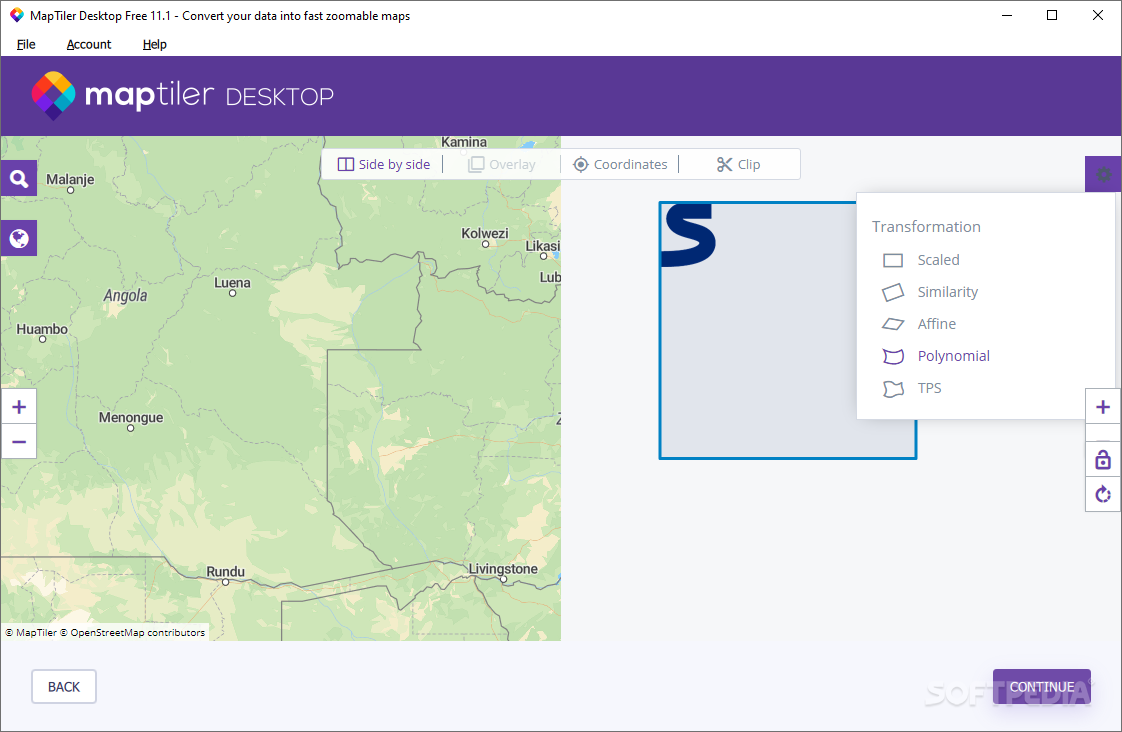
Finding Your Location Made Simple
You can figure out where your images go in two ways: automatically by using world or coordinate files or manually through georeferencing. Don’t worry if you're new to this; it’s super user-friendly! All you need to do is add control points on your image along with a reference map background.
Preview Your Maps
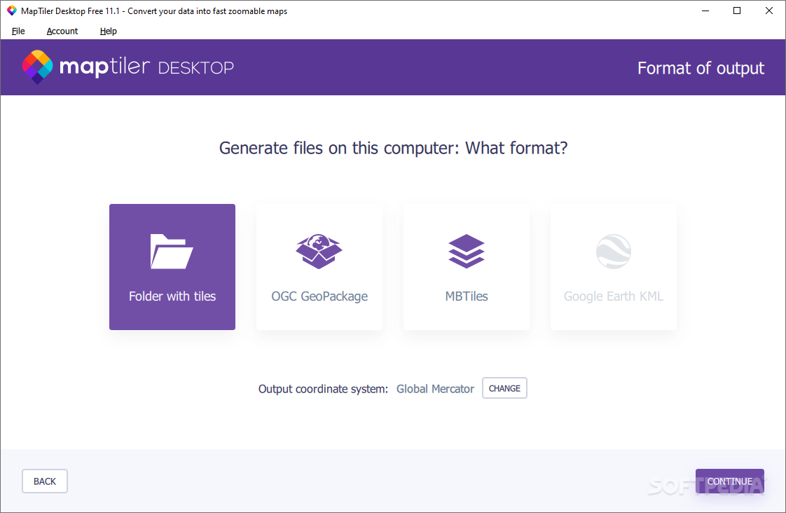
Once you've added at least four control points (the more, the better), you can preview your map on a global background. If you're into GIS stuff, you'll be happy to know that MapTiler also offers advanced options for setting tile formats, resampling methods, and tiling schemes.
Your Go-To Mapping Tool
This application is perfect for anyone looking for an easy-to-use tool to get their images ready for mapping environments like Google Maps. It lets you input images effortlessly while applying spatial transformations and determining locations easily. Whether you want to do this automatically with coordinate files or manually with help from georeferencing—it's all covered!
If you're ready to download MapTiler, jump right in and start mapping today!
User Reviews for MapTiler Engine 11
-
for MapTiler Engine
MapTiler Engine simplifies map preparation for image-sharing tales. Its user-friendly interface and support for multiple formats make georeferencing hassle-free.
-
for MapTiler Engine
MapTiler Engine offers effective map customization. More advanced features would elevate the user experience.
-
for MapTiler Engine
MapTiler Engine provides impressive map detailing and intuitive layout. Some minor lags faced occasionally.
-
for MapTiler Engine
MapTiler Engine offers robust mapping solutions but needs some usability enhancements for new users.
-
for MapTiler Engine
MapTiler Engine offers a robust, seamless mapping experience with an intuitive interface. Lack of offline feature is a drawback
-
for MapTiler Engine
MapTiler is a fantastic app for anyone looking to create maps from images! The user-friendly interface makes it so easy to georeference my images and prepare them for Google Maps. Highly recommend!
-
for MapTiler Engine
I love using MapTiler! It simplifies the process of mapping images, and the wizard-like interface is incredibly helpful. Great support for various formats too. Five stars all the way!