

Description
Introducing MapWindow GIS
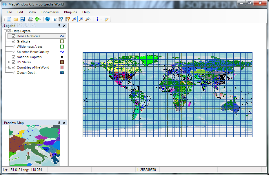
MapWindow GIS is an open-source Geographic Information System (GIS) application designed to provide users with a comprehensive set of tools for data analysis, manipulation, and visualization of geospatial data. Whether you are a novice user or an experienced GIS professional, MapWindow GIS offers a user-friendly interface and powerful features to meet your spatial data needs.
Key Features:
- Support for data analysis, manipulation, and viewing options
- Mapping program, GIS modeling system, and GIS programming interface
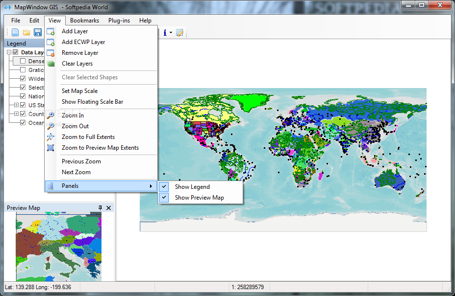
- Clean and intuitive layout for easy navigation
- Help manual for detailed program capabilities
- Project-based data storage with import/export options
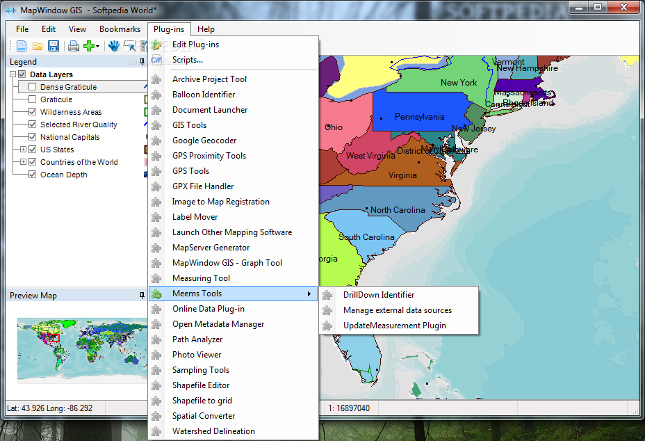
- Extensive plugin support for enhanced functionality
- Import data from various file formats
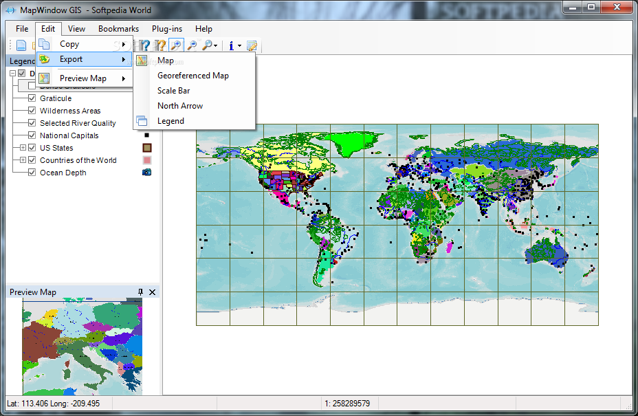
- Export maps to popular image formats
- Layer management tools for working with different data formats
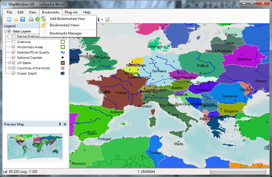
- Bookmark manager for saving and exporting views
Advanced Tools:
- View attributes of shapes in target layers
- Measure tool for displaying shape perimeter and area
- Add labels and save symbology
- Activate attribute tables for shape definitions
- Create and edit shapefiles with Shapefile Editor plugin
- Geoprocessing utilities for raster operations
- Projection functions and polygon area calculations
- Dissolve shapes by attribute and perform clipping operations
- Vector overlays for intersection and union operations
MapWindow GIS is a reliable spatial data viewer that can be easily customized and extended through various plugins. With its rich feature set and intuitive interface, MapWindow GIS is the perfect solution for professionals and enthusiasts looking to work with geospatial data.
User Reviews for MapWindow GIS 7
-
for MapWindow GIS
MapWindow GIS offers a clean layout with comprehensive GIS features. Import/export data easily and work with layers efficiently. A reliable spatial data viewer.
-
for MapWindow GIS
MapWindow GIS is fantastic! The interface is clean and user-friendly, making data analysis a breeze.
-
for MapWindow GIS
I love how versatile MapWindow GIS is. It's packed with features and the plugin support is a game changer!
-
for MapWindow GIS
This app exceeded my expectations! It handles geospatial data beautifully and the help manual is very informative.
-
for MapWindow GIS
MapWindow GIS has become my go-to mapping tool. The ability to import various file formats is incredibly useful.
-
for MapWindow GIS
Absolutely love this software! The geoprocessing utilities make complex tasks easy and efficient.
-
for MapWindow GIS
MapWindow GIS is a powerful yet easy-to-use application. It makes working with spatial data enjoyable!