Description
MeteoExplorer Portable - Explore and Render Atmospheric Science Data
MeteoExplorer Portable is a cutting-edge software application designed specifically to help users delve into and visualize atmospheric science and geoscience data seamlessly. With its portable functionality, it offers convenience and flexibility in accessing important data without the need for a complex installation process.
Technical Specifications:
- Run directly on the system without installation
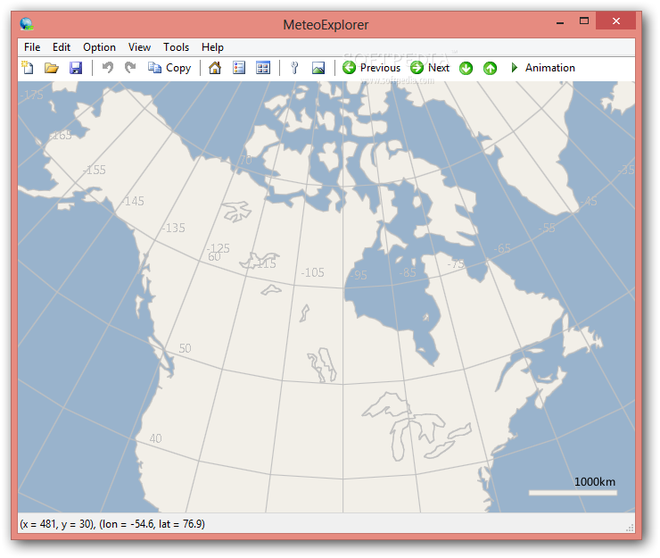
- Clean layout for easy analysis modes
- Full-screen mode and zoom functionality
- Support for multiple data formats
- Animation rendering and time interval settings
- Different projection types available
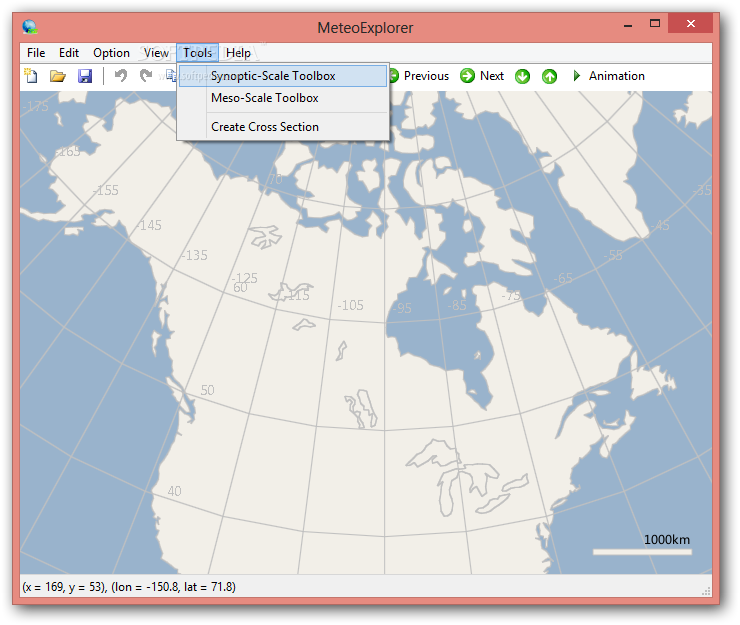
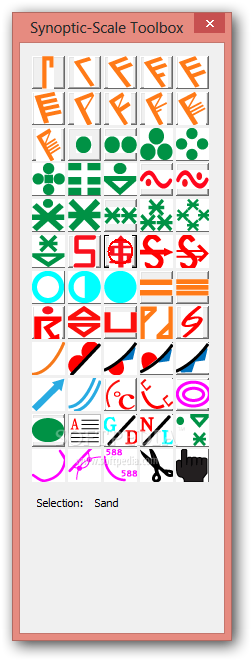
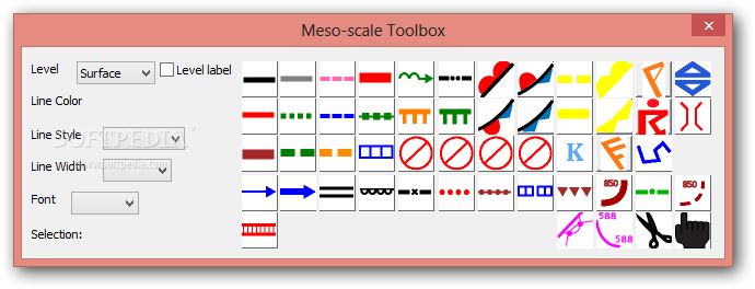
- Tools for synoptic scale and mesoscale analysis
- Export data in various file formats
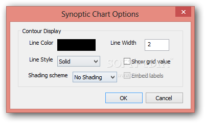
- Configurable parameters for graphic rendering
Feature Highlights:
Explore the key features that make MeteoExplorer Portable a robust software tool for analyzing and exploring geoscience data:
- Seamless Operation: Run the application without administrative privileges, directly from a USB flash drive or other devices.
- Data Analysis Modes: Utilize various analysis modes for in-depth exploration of physical elements, wind fields, and analytical fields.
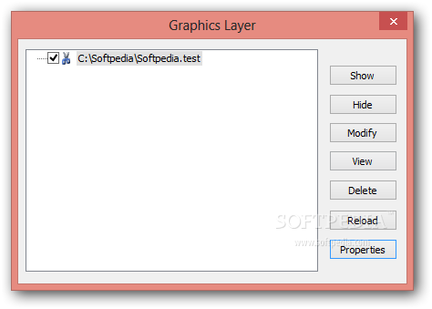
- Graphics Layer: Work with multiple layers simultaneously for enhanced data visualization.
- Data Format Support: Compatibility with WMO GRIB1/GRIB2, NetCDF, GrADS, and MICAPS formats.
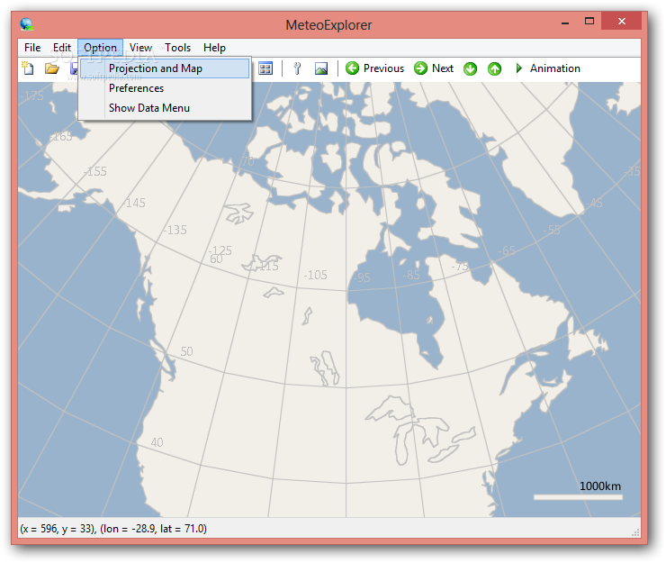
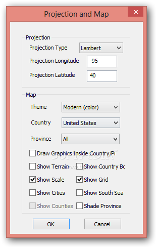
- Projection Options: Choose from different projection types and specify longitude and latitude for accurate data representation.
- Mapping Tools: Customize maps with themes, country details, terrain, and more for detailed visualization.
- Export Capabilities: Export data in BMP, JPEG, PNG, and other formats for easy sharing and analysis.
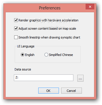
- Configurable Parameters: Adjust settings for hardware acceleration, map scale, and data source directories for optimal performance.
Discover the power of MeteoExplorer Portable in analyzing and exploring geoscience data effortlessly. While some features may require initial configuration, the software offers a wealth of tools and capabilities for users at all levels of expertise.
User Reviews for MeteoExplorer Portable 7
-
for MeteoExplorer Portable
MeteoExplorer Portable offers a clean layout for exploring atmospheric data. Portable feature is handy. Some features may need time for beginners to grasp.
-
for MeteoExplorer Portable
MeteoExplorer Portable is an amazing app! The ability to run it without installation is a huge plus.
-
for MeteoExplorer Portable
This app has transformed how I analyze atmospheric data. The clean layout makes it super user-friendly!
-
for MeteoExplorer Portable
I love the flexibility of MeteoExplorer Portable! It's great for rendering animations and exploring data.
-
for MeteoExplorer Portable
Fantastic tool for geoscience data! Multiple analysis modes and easy export options make it a must-have.
-
for MeteoExplorer Portable
MeteoExplorer Portable exceeded my expectations. The range of features is impressive and very useful!
-
for MeteoExplorer Portable
Highly recommend MeteoExplorer Portable! It’s powerful, portable, and perfect for both newbies and pros!

