
Description
QLandkarte GT
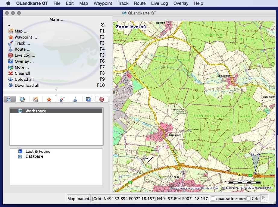
QLandkarte GT is a cool open-source tool that helps you see your GPS data on different maps. Whether you're hiking, biking, or just exploring, this app can handle multiple map collections. Plus, you can load up details about your routes and even jot down personal notes!
Easy Installation Process
Getting started with QLandkarte GT is super easy. The installer package takes care of everything for you. Just follow the simple on-screen instructions! But before diving in, make sure to download and set up the QLandkarte GT helpers and libraries first.
Load Your Maps and GPS Data
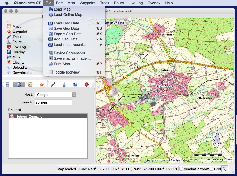
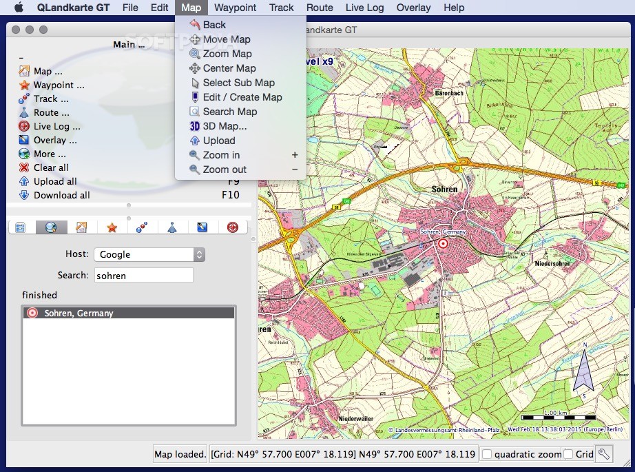
Once you launch the app, it’s time to load your map files! You can also check out online resources to grab maps from all over the globe and input your own GPS data. It’s like having a world of maps at your fingertips!
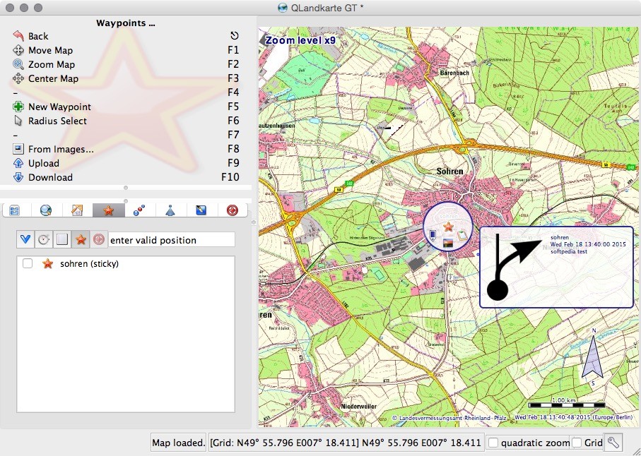
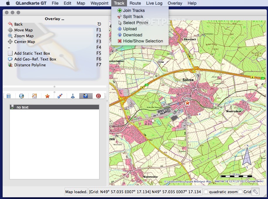
Create Waypoints and Routes
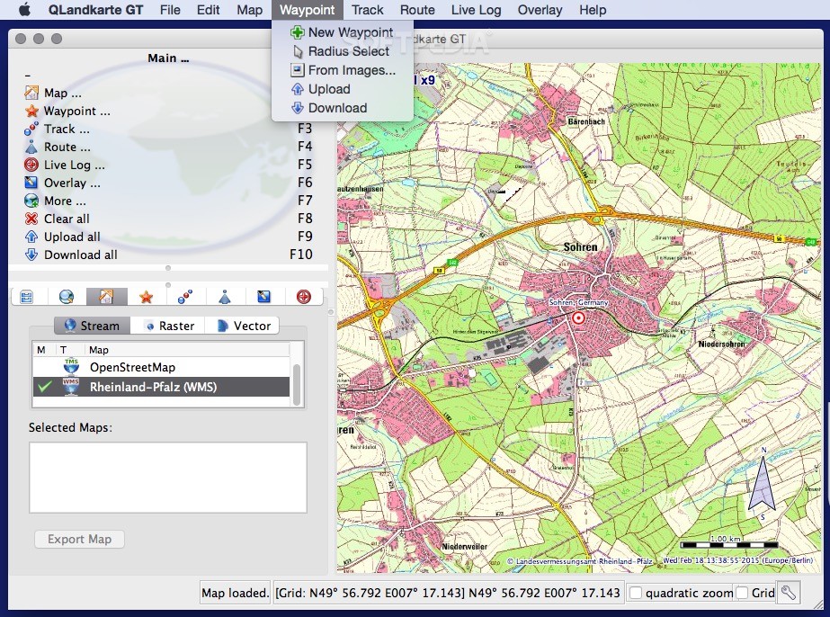
With QLandkarte GT, you can use tools like OpenRouteService or Google to find exact spots on your map. Want to create waypoints? No problem! You can quickly highlight routes between locations, calculate distances, and tweak transportation details as needed.
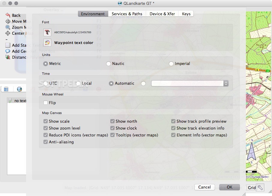
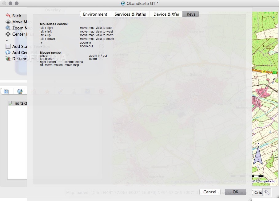
User-Friendly Interface
The user interface of QLandkarte GT is pretty intuitive. Even though it has a lot of functions packed inside, you'll find it easy to navigate around once you get the hang of it. However, there’s a catch: the project support pages are no longer available, so any troubleshooting will be up to you.
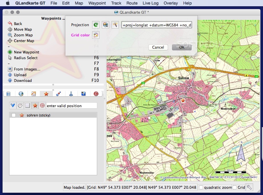
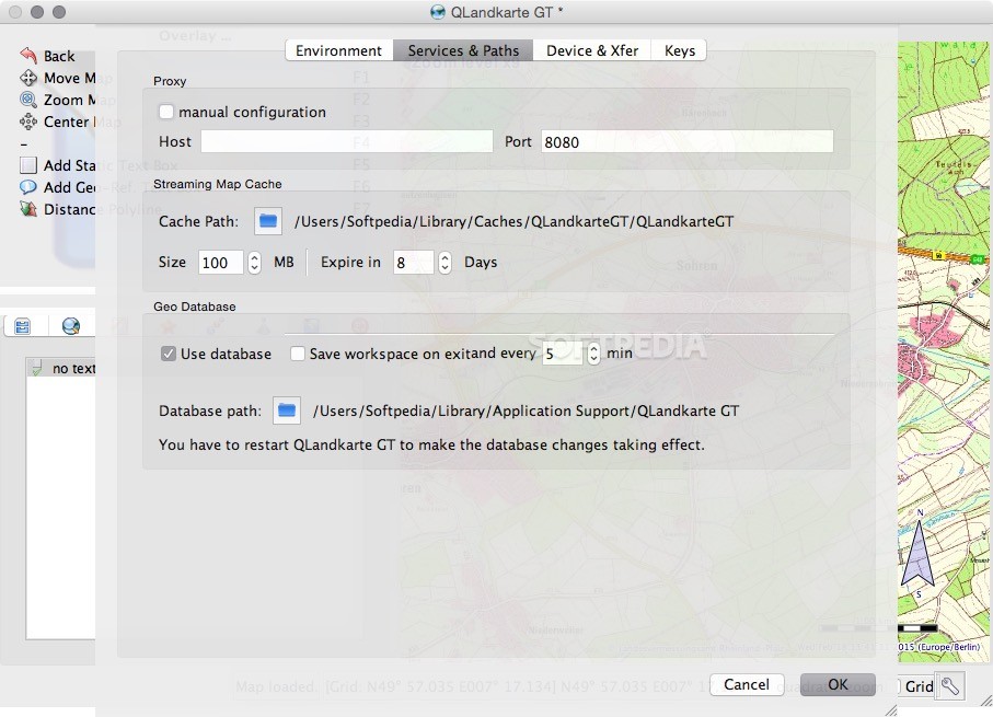
Supported Map Formats
The good news? In the About window of QLandkarte GT, you’ll see a list of supported map formats that is quite extensive! It includes formats like VRT, GTiff, NIFT, RPFTOC, HFA, AIG, PNG, JPEG – just to name a few!
Your Adventure Awaits!
To wrap things up: QLandkarte GT is perfect for visualizing all kinds of maps while creating waypoints and routes along the way. Just keep in mind that there’s no official support available—you’ll be learning as you go! If you're ready to explore more about QLandkarte GT, check out SoftPas for downloads!
User Reviews for QLandkarte GT FOR MAC 1
-
for QLandkarte GT FOR MAC
QLandkarte GT offers a vast range of map formats and allows you to create routes easily. However, lack of documentation requires self-learning.