


Description
TNTatlas
TNTatlas is a super handy tool for anyone dealing with geodata. If you've ever needed to look at or analyze different types of maps and data files, this software is your go-to! It has some cool features that make working with geospatial information a breeze, but let's be real—it's not winning any beauty contests.
What Can TNTatlas Do?
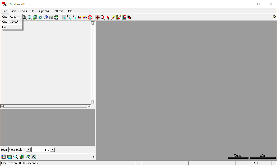
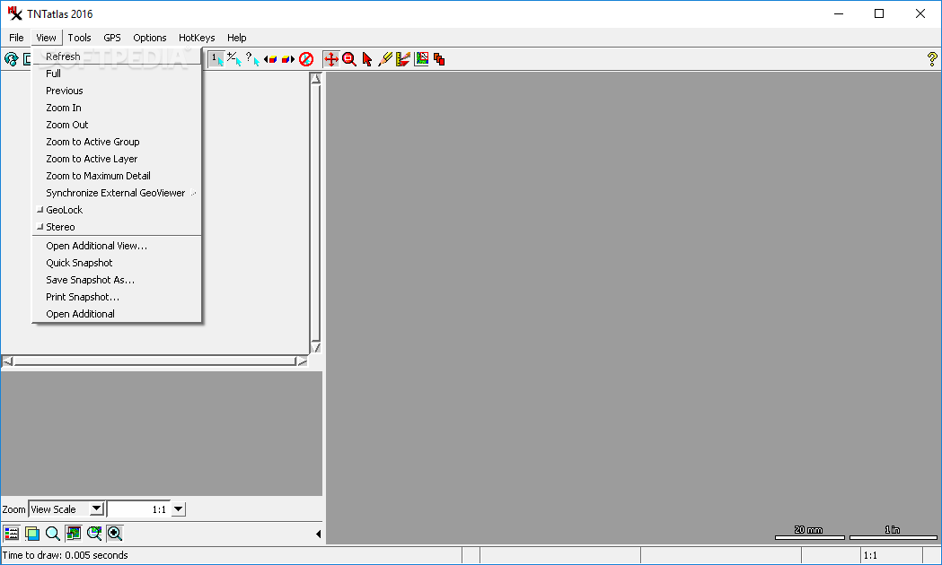
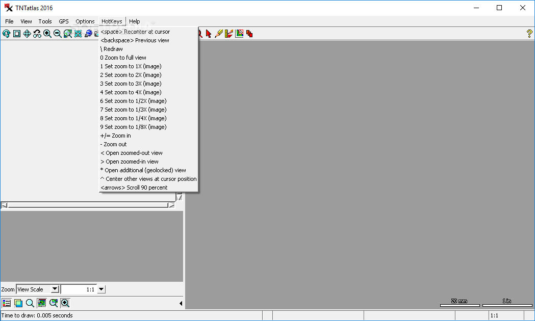
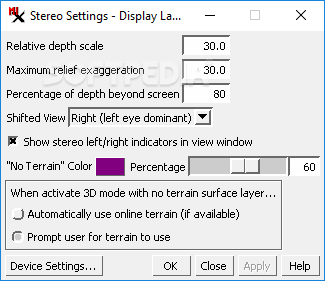
The main focus of TNTatlas is on hierarchical atlases, but don't let that fool you. This software can handle all sorts of objects just as well. You can load and analyze various file formats like DWG, DXF, GeoTIFF, and shapefiles. Plus, the viewing options are diverse! You can zoom in on maps or switch to stereo modes like anaglyphs and split windows to see things from different angles.
A Toolbox Full of Features
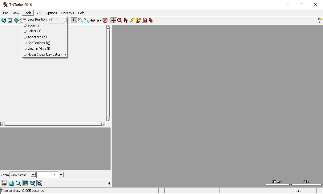
The toolbox that comes with TNTatlas includes several tools for selecting items, making annotations, and more. There's something called the GeoToolbox in there too! This part lets you measure stuff, sketch out ideas, and manage regions from whatever file you have loaded at the moment.
GPS Compatibility
If you're someone who likes to use a GPS device while working on your projects, good news! TNTatlas supports this feature. You can easily connect your GPS device by choosing the right protocol and adjusting port settings. Then you can set how often it polls for data—super simple!
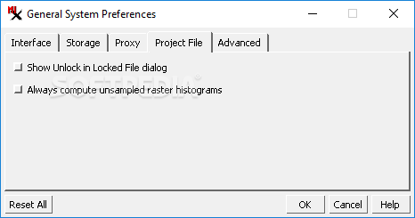
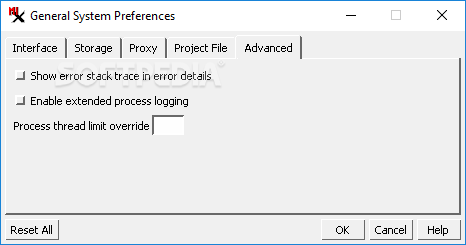
Customizable Options for Power Users
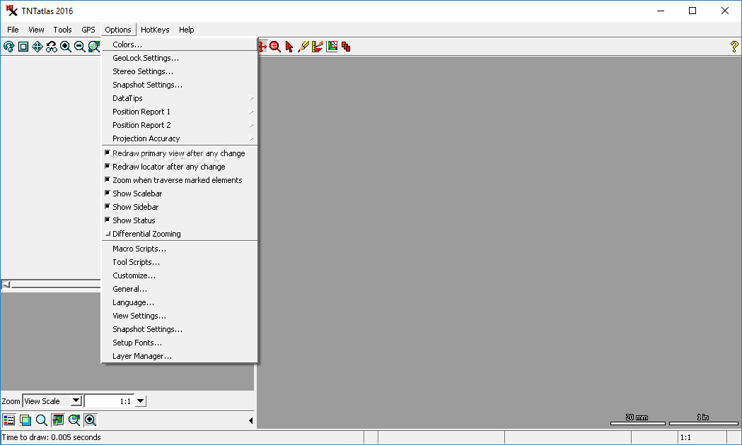
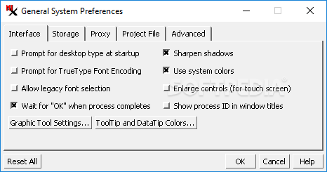
If you really want to customize how the app runs, there are tons of settings you can play around with. It's worth noting that TNTatlas is designed for experienced users who will appreciate its full potential. It might feel overwhelming at first if you're new to it!
Find More Information Here!
If you're interested in downloading this software or learning more about it, check out the link here: TNTatlas Download Page.
TNTatlas also fits nicely into collections like GIS Tools. So whether you're a professional or just diving into geospatial analysis, give it a shot!
User Reviews for TNTatlas 7
-
for TNTatlas
TNTatlas offers a comprehensive toolbox for analyzing geodata, supporting various file types. Its interface may lack visual appeal, but functionality impresses.
-
for TNTatlas
TNTatlas is a fantastic tool for anyone working with geospatial data. The variety of file formats it supports is impressive, and the analysis features are top-notch. Highly recommend!
-
for TNTatlas
I love using TNTatlas! It makes analyzing geodata so much easier with its user-friendly tools and diverse viewing options. A must-have for any professional in the field.
-
for TNTatlas
TNTatlas has completely transformed how I work with geospatial information. The ability to load and analyze different formats seamlessly is a game-changer. Five stars!
-
for TNTatlas
As someone who often deals with complex maps, TNTatlas has proven to be an invaluable asset. The customization options and measurement tools are incredibly helpful!
-
for TNTatlas
This app is perfect for professionals! TNTatlas offers robust features for geodata analysis, making my job much more efficient. Definitely worth five stars!
-
for TNTatlas
I can't recommend TNTatlas enough! The various viewing modes and the GeoTolbox make analyzing geospatial data a breeze. It's essential for anyone serious about GIS.