


Description
TRANSDAT
TRANSDAT is a handy tool designed for anyone who needs to change spatial data from one coordinate reference system to another. It’s lightweight and super easy to use, plus it can also tweak the data structure while making those transformations.
Transforming Coordinates Made Easy
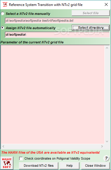
This application offers different ways to transform worldwide coordinates. It supports various reference systems, whether you're in Europe (both EU and non-EU) or across the United States and Canada. Plus, it even works with NTv2 grid file supported coordinate transformations!
Multiple Ways to Define Coordinates
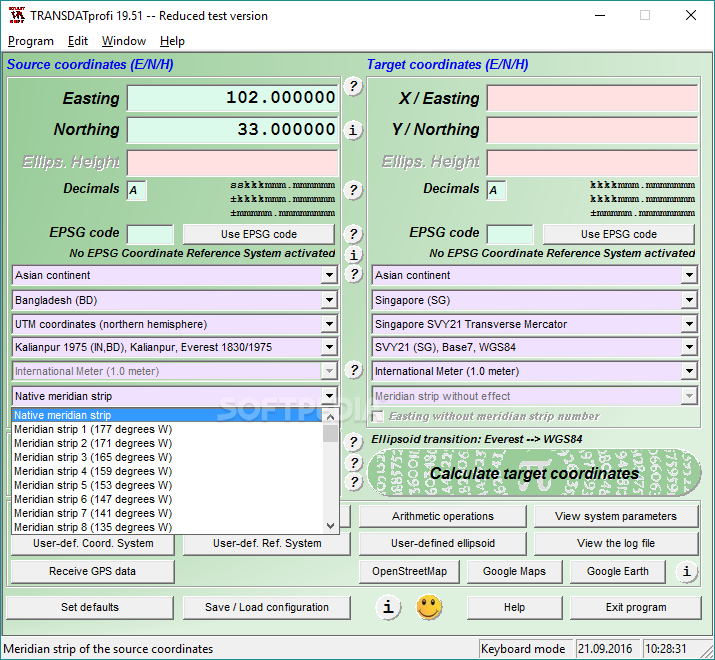
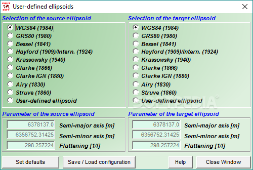
You can define your coordinates in different ways using TRANSDAT. Whether you prefer worldwide systems or specific country ones, you’re covered! You can use Helmert or Molodenski (Bursa / Wolf) parameters for your transformations.
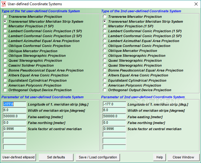
Create Your Own Reference Systems
The tool lets you set up your own coordinate or reference systems while supporting EPSG codes too. This means you have flexibility when working with your data.
User-Friendly Input Options
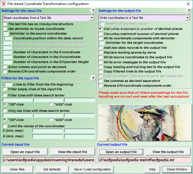
Entering coordinates is a breeze! You can type them in manually or load them from a file. TRANSDAT supports formats like Text, dBase, and ArcGenerate. There’s even a Shape Viewer included for opening ArcShape files.
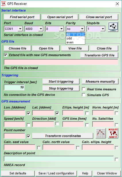
GPS Interface & Batch Processing
This utility features a programmable GPS interface that lets you read coordinates from a GPS antenna connected to your laptop or notebook. It also runs on a network and can handle batch processing tasks easily!
Easily View Coordinates on Maps
Want to see your coordinates on Google Maps or OpenStreetMap? Just click a button! TRANSDAT has convenient buttons on its main window that make this super easy.
Perform Calculations & Save Configurations
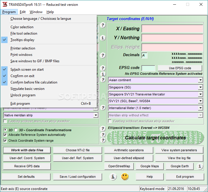
The software isn’t just about viewing; it can perform arithmetic operations too! You can choose an NTv2 file to work with and view log files as well. Plus, any user-defined configurations can be saved for later access.
Overall, TRANSDAT is an excellent tool for professionals! It allows quick and easy coordinate transformations so you can work within the reference system of your choice. If you're interested in downloading it, check out this link!
User Reviews for TRANSDAT 7
-
for TRANSDAT
TRANSDAT offers a convenient way to transform spatial data seamlessly between different coordinate reference systems. The software's versatility and user-friendly interface make it a valuable tool.
-
for TRANSDAT
TRANSDAT is an amazing app! It makes coordinate transformations so easy and efficient. Highly recommended!
-
for TRANSDAT
I love how user-friendly TRANSDAT is! The ability to define custom reference systems is a game changer.
-
for TRANSDAT
Fantastic tool for spatial data! The batch processing feature saves me so much time. Five stars all the way!
-
for TRANSDAT
TRANSDAT has streamlined my workflow significantly. Transforming coordinates has never been easier!
-
for TRANSDAT
This app is a must-have for anyone working with spatial data. The GPS interface works flawlessly!
-
for TRANSDAT
Incredible functionality and ease of use! TRANSDAT has exceeded my expectations in every aspect.