
Description
GroundCAD: Lightweight CAD Drawing Tool for Land Surveying and Civil Engineering Professionals - Download Now
Looking for a streamlined CAD solution for land surveying projects? GroundCAD offers a practical and lightweight drawing application specifically designed for land surveying and civil engineering professionals. This portable CAD tool allows users to create basic drawings without the complexity of larger systems, making it an ideal choice for quick field work and preliminary designs.
Unlike resource-intensive CAD software, GroundCAD provides essential drawing capabilities in a compact package that doesn't require installation. Civil engineers and land surveyors can download this efficient CAD application to immediately enhance their workflow with intuitive drawing tools.
Key Features of GroundCAD
The strength of GroundCAD lies in its simplicity combined with professional-grade functionality. Land surveying professionals can download and start using this CAD utility immediately, with no complex setup process. The software balances accessibility with powerful drawing capabilities that meet the essential needs of civil engineering projects.
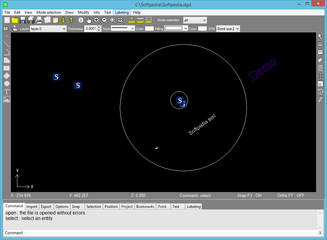
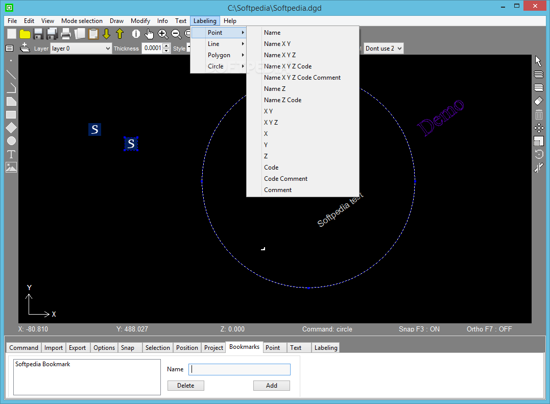
Intuitive Interface for Efficient Drafting
GroundCAD presents users with a clean, user-friendly interface featuring an expansive drawing canvas paired with easily accessible tools. The thoughtful layout includes:
- Comprehensive top-side button arrangement for quick access to common functions
- Multiple tabbed panels on the lower section providing specialized tools
- Direct visual feedback when creating or modifying CAD elements
- Simple navigation controls for moving through your drawing space
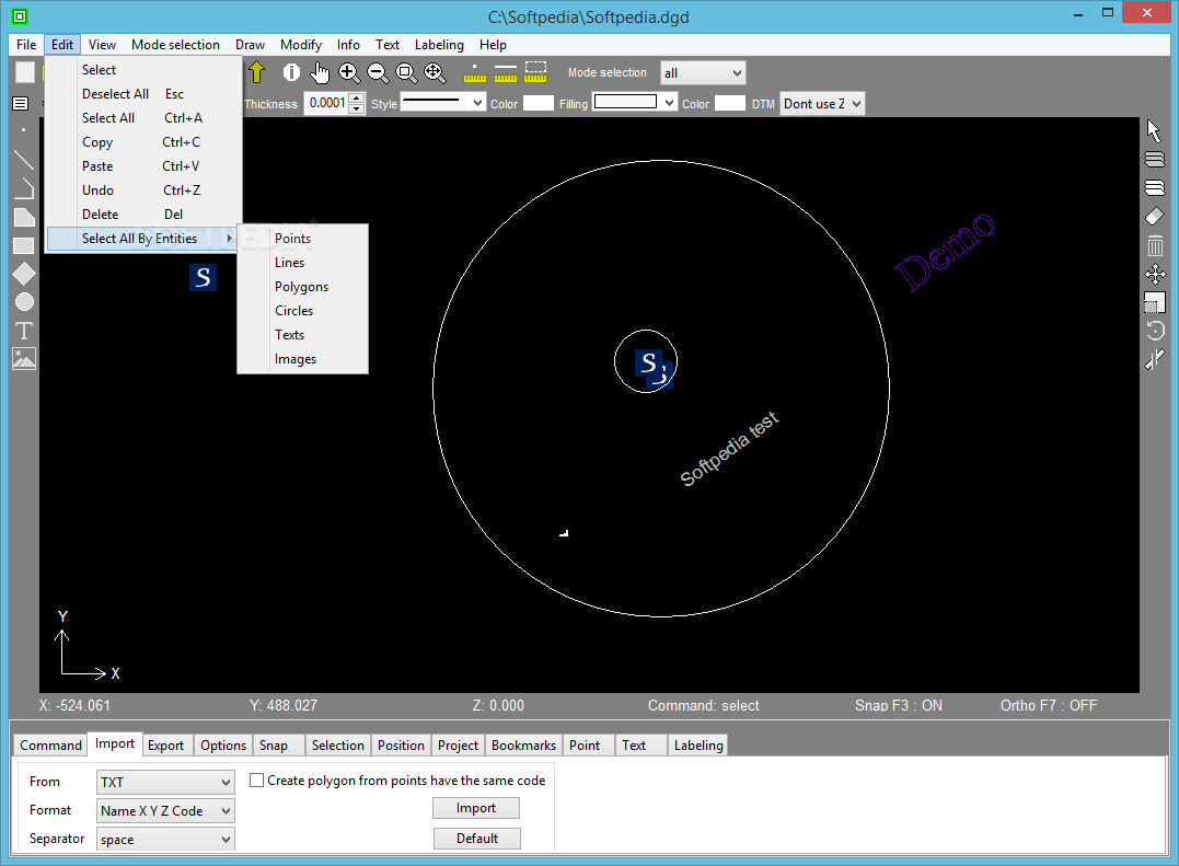
Versatile Import Capabilities
Land surveying professionals can seamlessly incorporate existing data into their projects. GroundCAD supports importing from numerous data formats including:
- Standard text formats (TXT, CSV)
- Industry-standard DXF files
- Specialized formats like Sokkia SDR33
- Topcon formats including FC4 and GTS7 documents
- Custom BMP images for reference or tracing
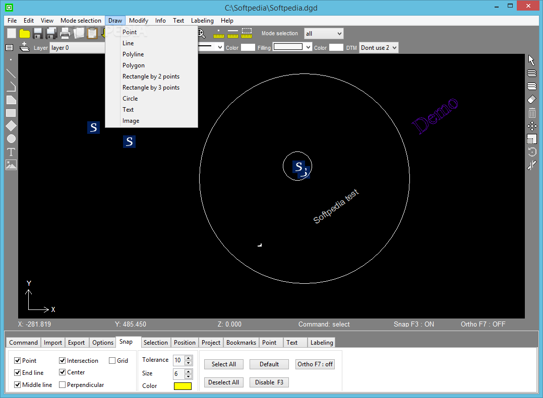
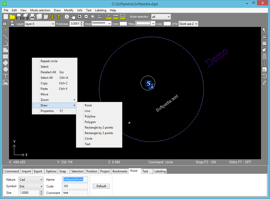
Complete Geometric Drawing Tools
Civil engineers will appreciate the comprehensive set of drawing tools available after download. GroundCAD provides all the essential geometric elements needed for land projection and site planning:
- Precision line tools with customizable properties
- Circle and arc drawing with variable radius options
- Polygon creation with adjustable vertices
- Rectangle and square tools for structural elements
- Custom shape creation capabilities
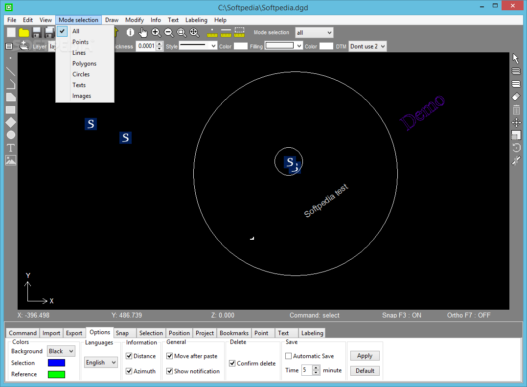
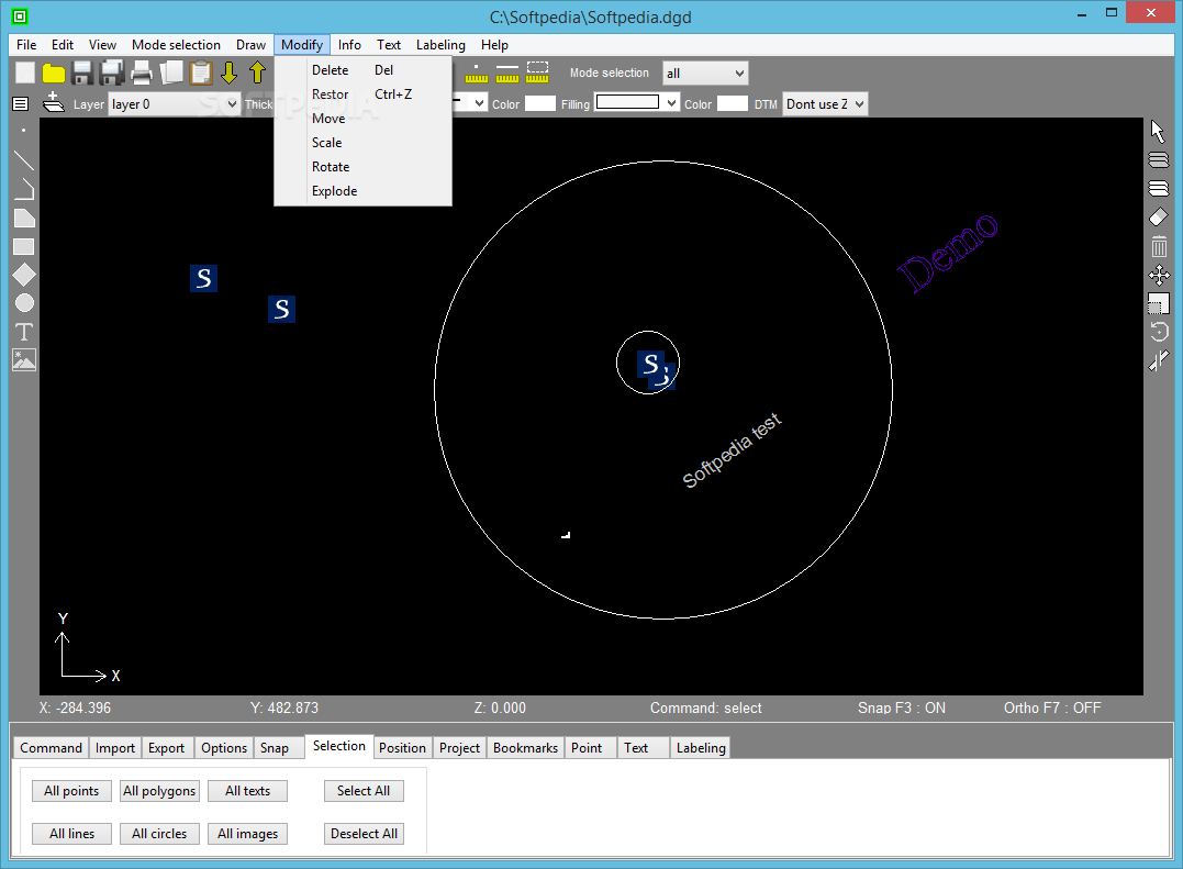
Advanced Editing and Manipulation Features
Beyond basic drawing capabilities, GroundCAD offers engineering professionals several advanced features:
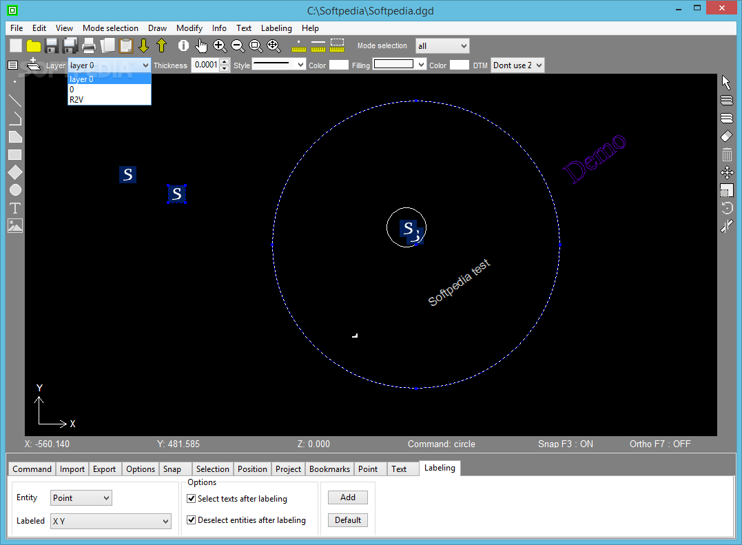
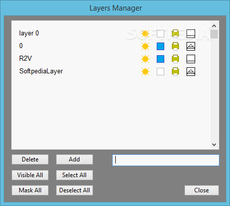
- Layer management for organizing complex drawings
- Bookmark functionality to quickly navigate large projects
- Scale modifiers for precise dimensional control
- Rotation tools for aligning elements
- "Explode" feature for breaking down composite objects
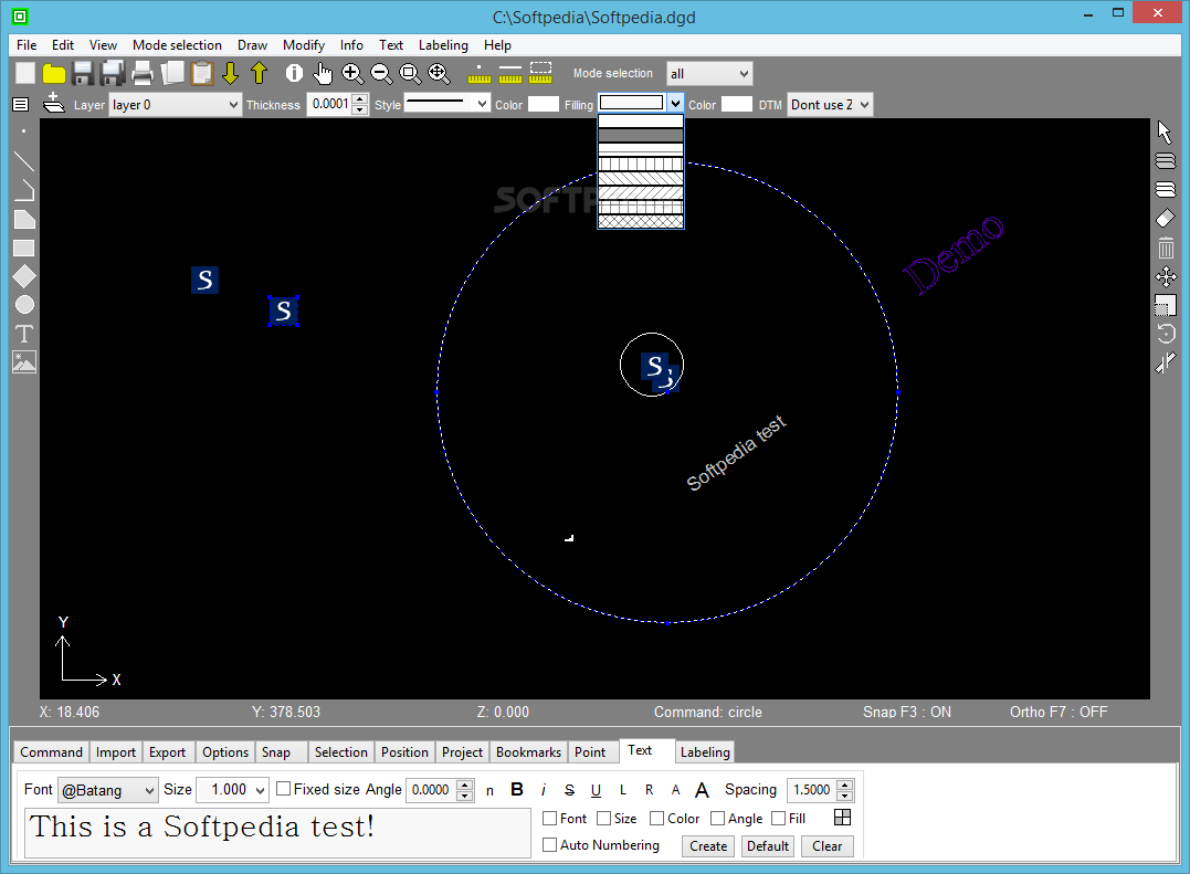
- Text annotation with customizable properties
- Complete control over line thickness, style, and fill characteristics
Flexible Zoom and View Controls
When working with detailed land surveying drawings, visibility control becomes essential. GroundCAD includes:
- Variable magnification factors for detailed work
- Pan controls for navigating large drawings
- View presets for commonly used perspectives
- Quick zoom functions for efficient workflow
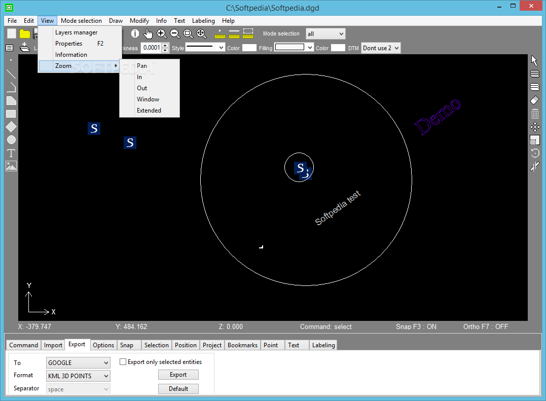
Export Options for Professional Workflow Integration
After completing your CAD drawing, GroundCAD offers multiple export options to integrate with your broader workflow:
- CSV export for data-focused applications
- Image exports in BMP and PNG formats
- DXF12 format for compatibility with major CAD systems
- Google KML3D for geospatial applications
- SVG format for web and print applications
Technical Specifications
- Software Type: CAD Drawing Application
- Installation: Portable (No installation required)
- Primary Users: Land Surveying and Civil Engineering Professionals
- Drawing Capability: 2D Geometric Shapes and Text
- Layer Support: Yes, with management tools
- Import Formats: TXT, CSV, DXF, Sokkia SDR33, Topcon FC4, Topcon GTS7, BMP
- Export Formats: CSV, BMP, PNG, DXF12, Google KML3D, SVG
- System Requirements: Minimal, runs on standard office computers
GroundCAD represents an excellent balance between functionality and simplicity for land surveying applications. Civil engineers seeking a straightforward CAD tool will find that downloading GroundCAD provides them with just enough features to handle basic land projection needs without overwhelming complexity.
Whether you're creating preliminary site plans, documenting survey results, or preparing simple land projections, GroundCAD delivers essential CAD functionality in an accessible package. Download GroundCAD today to experience how this lightweight but capable drawing application can enhance your engineering and surveying workflow.

```
User Reviews for GroundCAD 8
-
for GroundCAD
GroundCAD is a practical tool for quick CAD drawings, with user-friendly interface, wide range of tools, and support for importing data from common file formats.
-
for GroundCAD
GroundCAD offers precise and flexible tools for professional CAD design.
-
for GroundCAD
GroundCAD is a fantastic tool for quick CAD drawings. The interface is intuitive, and I love the import options!
-
for GroundCAD
This app is a game changer for civil engineering! It's lightweight, easy to use, and has all the essential features.
-
for GroundCAD
GroundCAD makes drafting so much easier! The ability to add custom images and shapes is super handy.
-
for GroundCAD
I'm impressed by how accessible GroundCAD is. No installation needed, and it handles everything I need effortlessly!
-
for GroundCAD
A must-have app for anyone in land surveying! Easy to export projects in multiple formats—very versatile!